The Blue Ridge Parkway
We drove home Tueday March 4, 2014. We took the Blue Ridge Parkway, which winds through the Blue Ridge Mouhtains, on the way home, picking it up near Asheville, and then joining I-81 near Roanoke, VA. It was very scenic and beautiful, but of course, it also involved some adventures.
It took us about 12 hours to get down to Asheville from Ithaca. The trip
home took about 19 hours. This included a stop for breakfast. A stop to
pick up a few hundred pounds of rock. Multiple detours and off-map,
faith-based navigation. Stops for lunch and dinner (we packed food).
Stops for gas. And a lot of stops for me to take pictures, sometimes
at overlooks, sometimes more spontaneous.
Other pages from the Ashville trip:
Displaying all 51 pictures
The Biltmore Estate
The Biltmore Estate is a huge area of land with a huge mansion, owned by the Vanderbilts. Tickets cost $50 or more, so we just drove onto the estate to where you buy tickets, took a quick look and then headed out of town.
000-biltmore_Panoram...
bigger version
huge

A kind of boring panorama of the driveway to get to the ticket office. On the...(more)
002-DSC_6543.jpg
bigger version
huge

And even the ticket office looks nice. I assume it was servant's quaters or...(more)
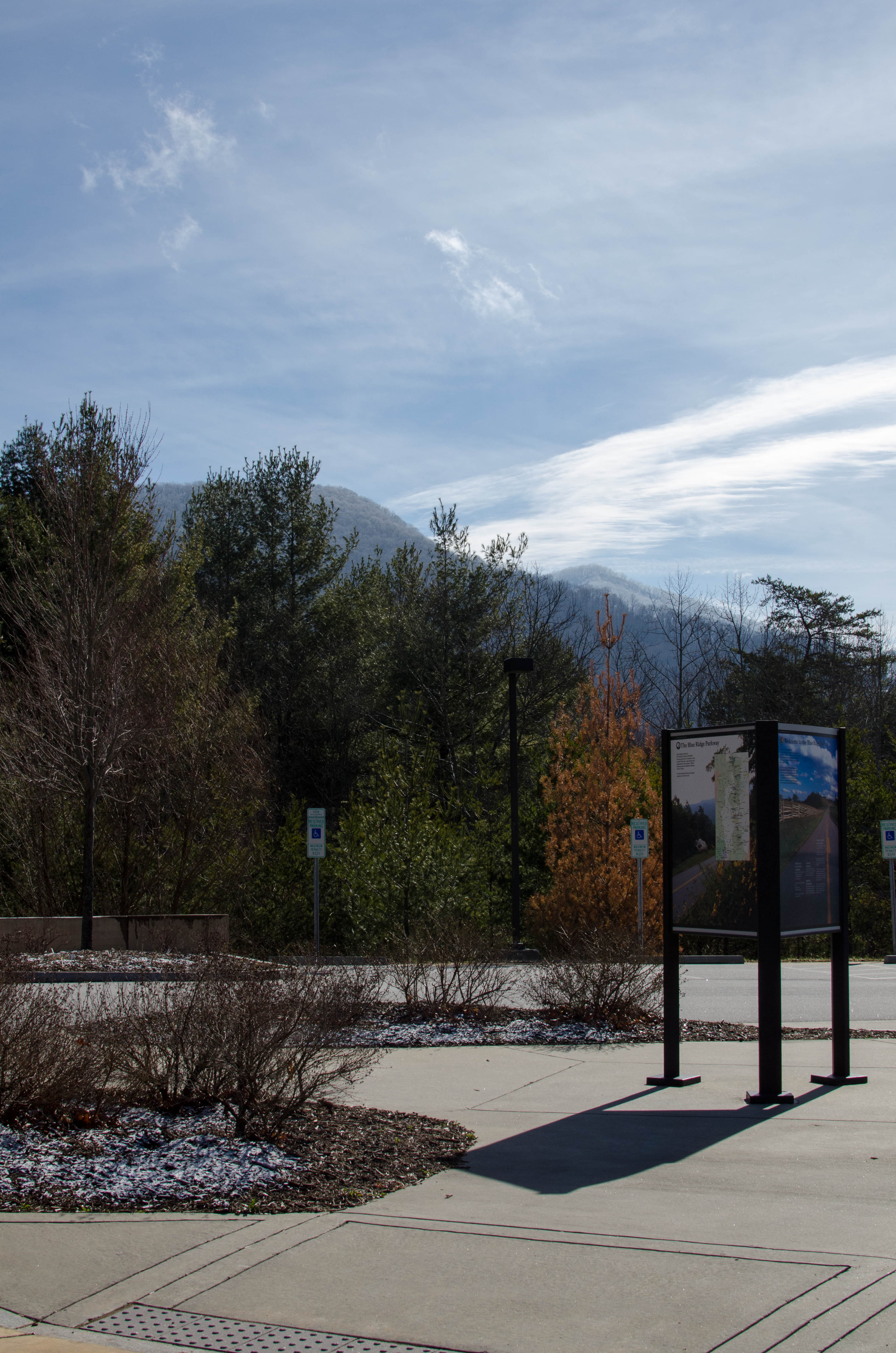
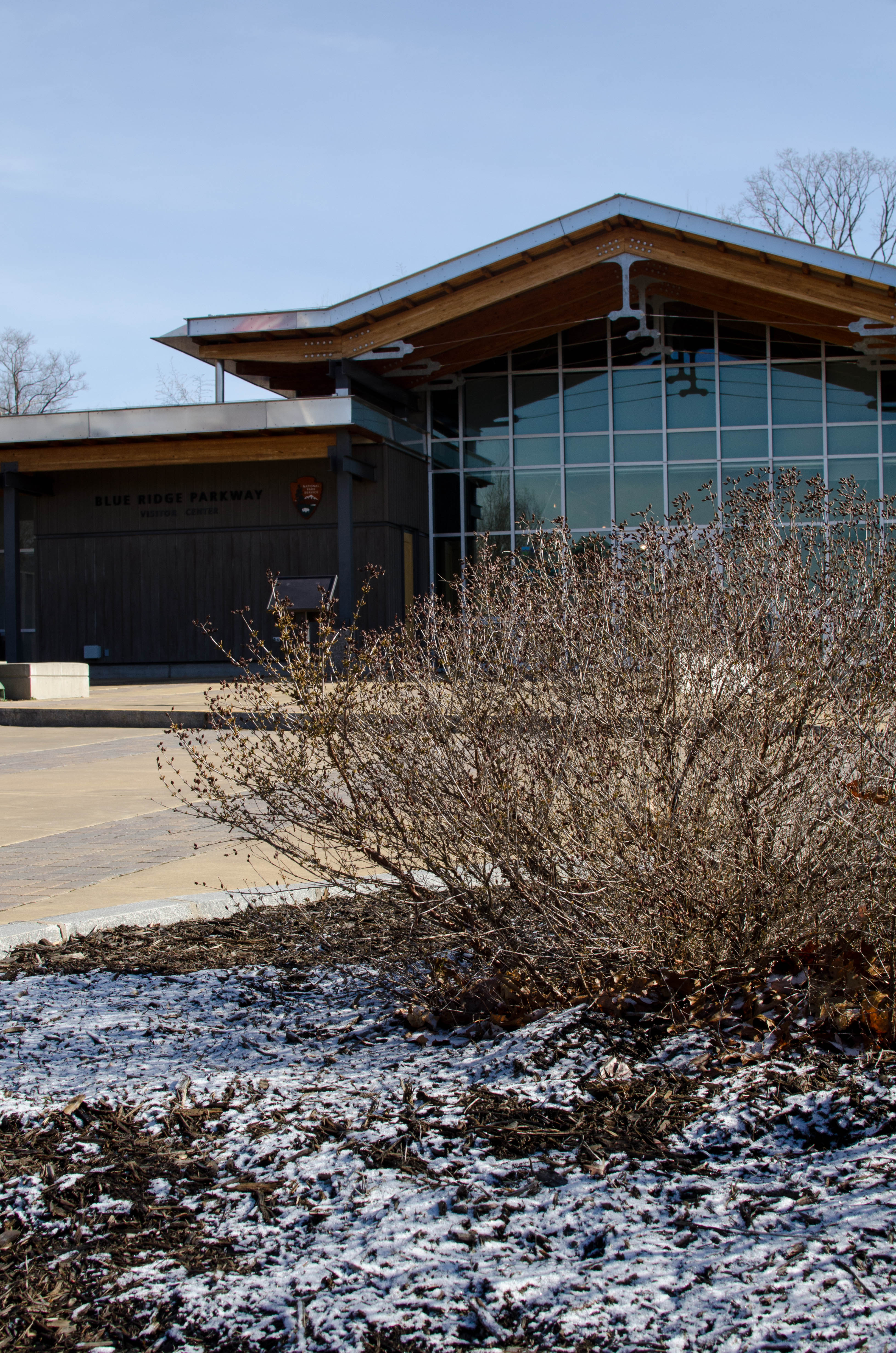
The Blue Ridge Parkway Vistior Center
We picked up the Blue Ridge Parkway just outside of Asheville. We went to the visitor's center there (and the headquarters is in the same place).
007-DSC_6552.jpg
bigger version
huge

There was a hint of snow on the ground and it was just a bit below freezing. ...(more)
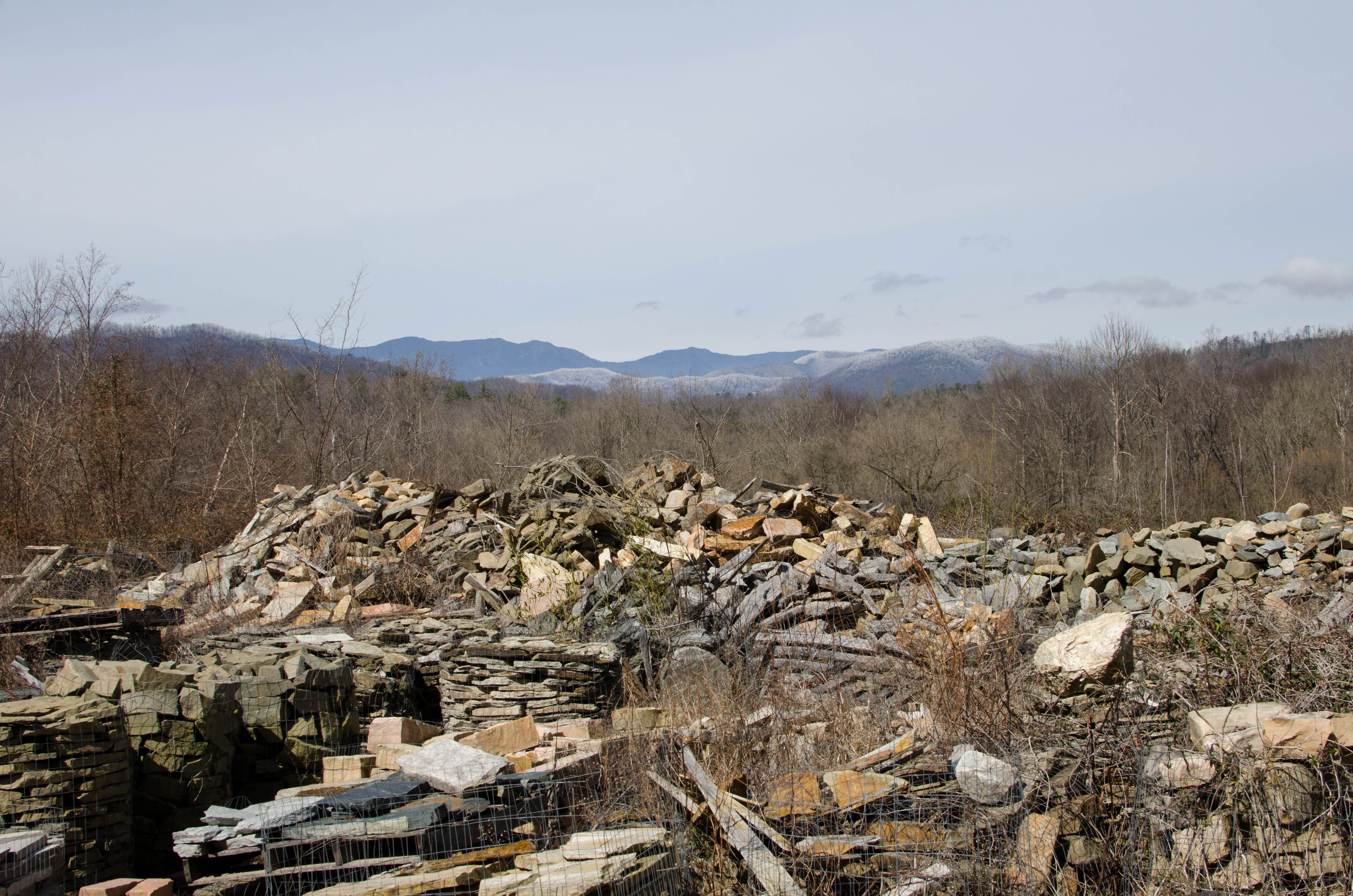
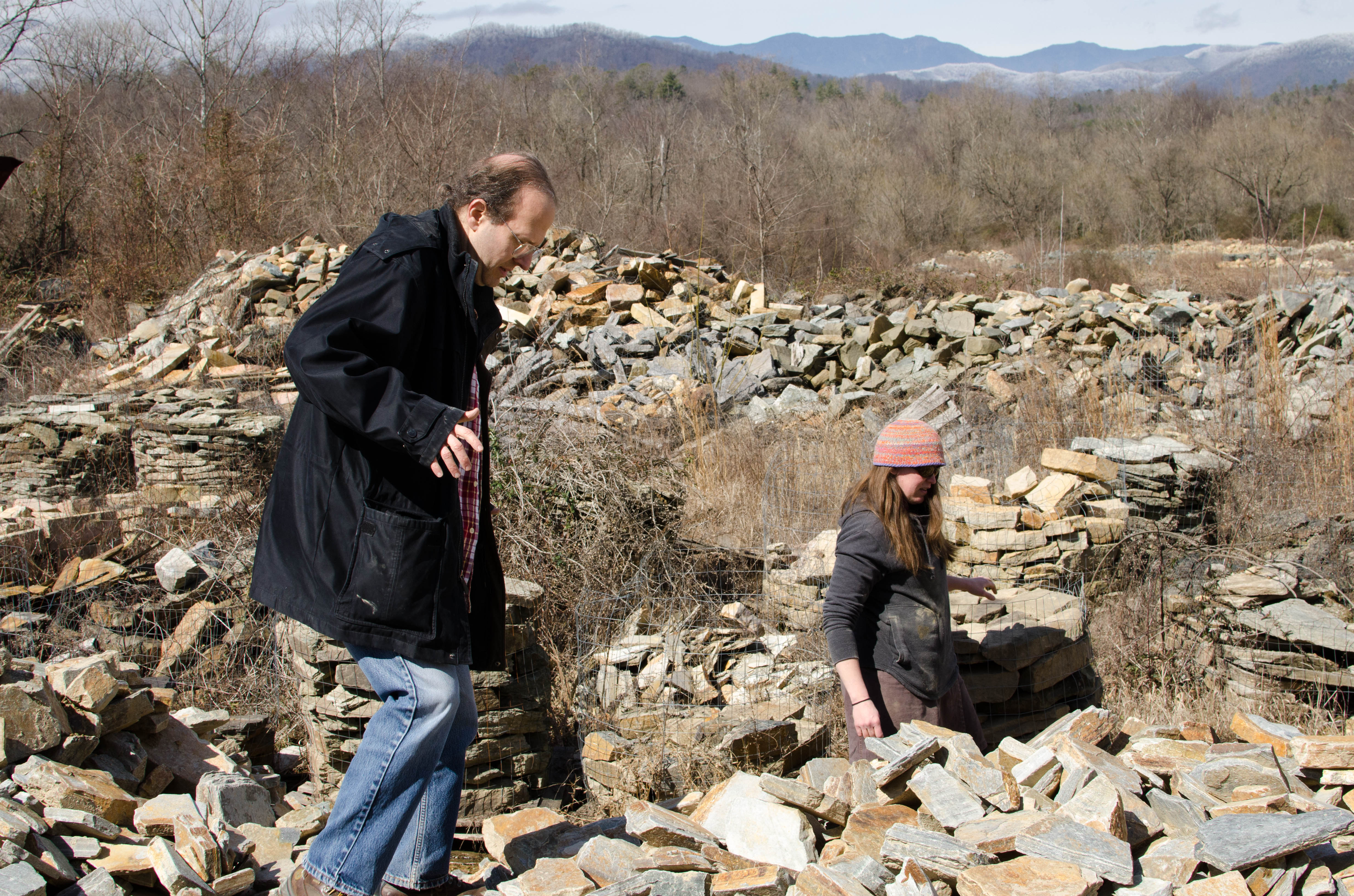
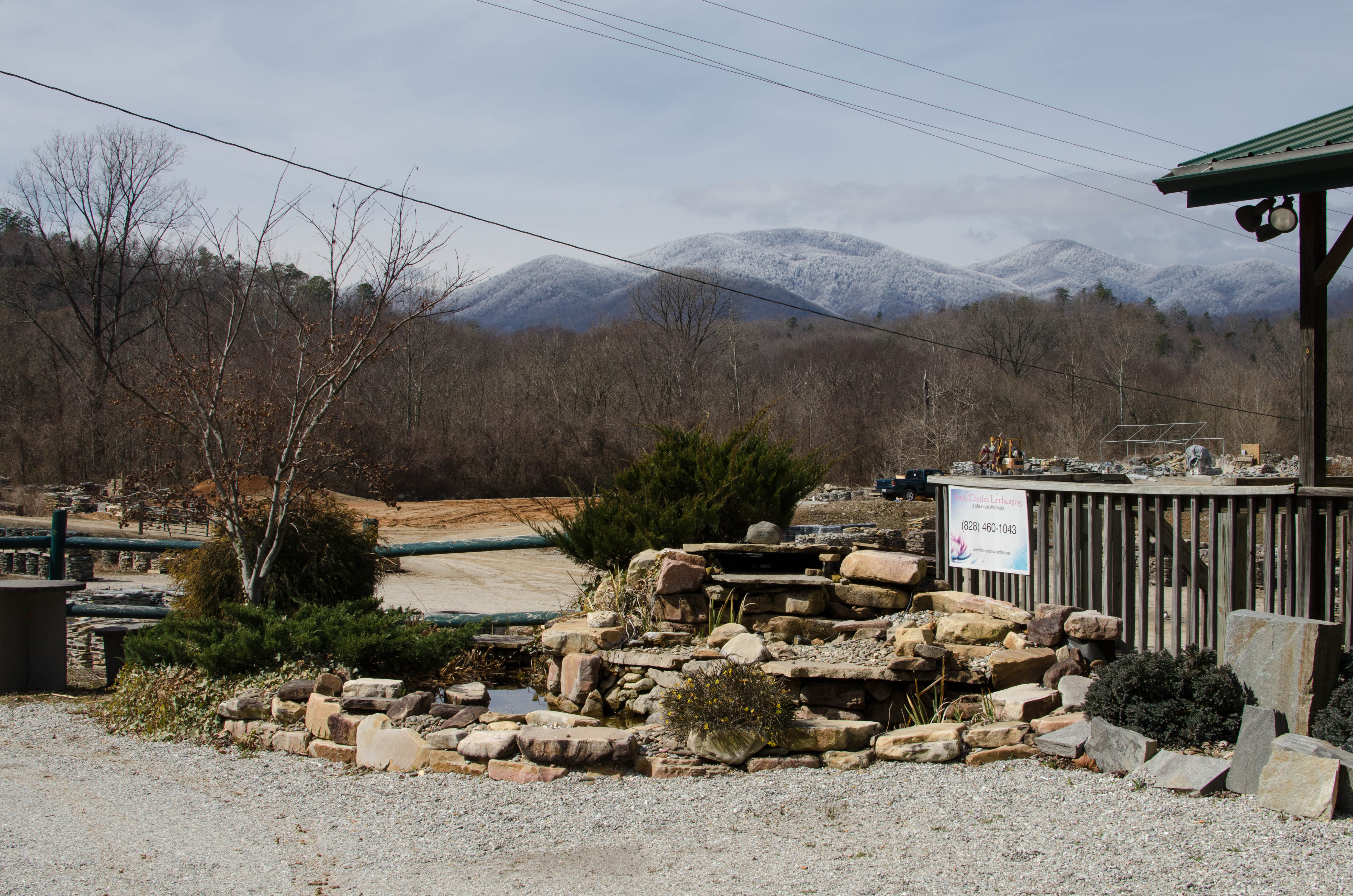
Table Rock Quary
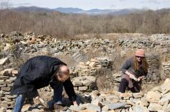
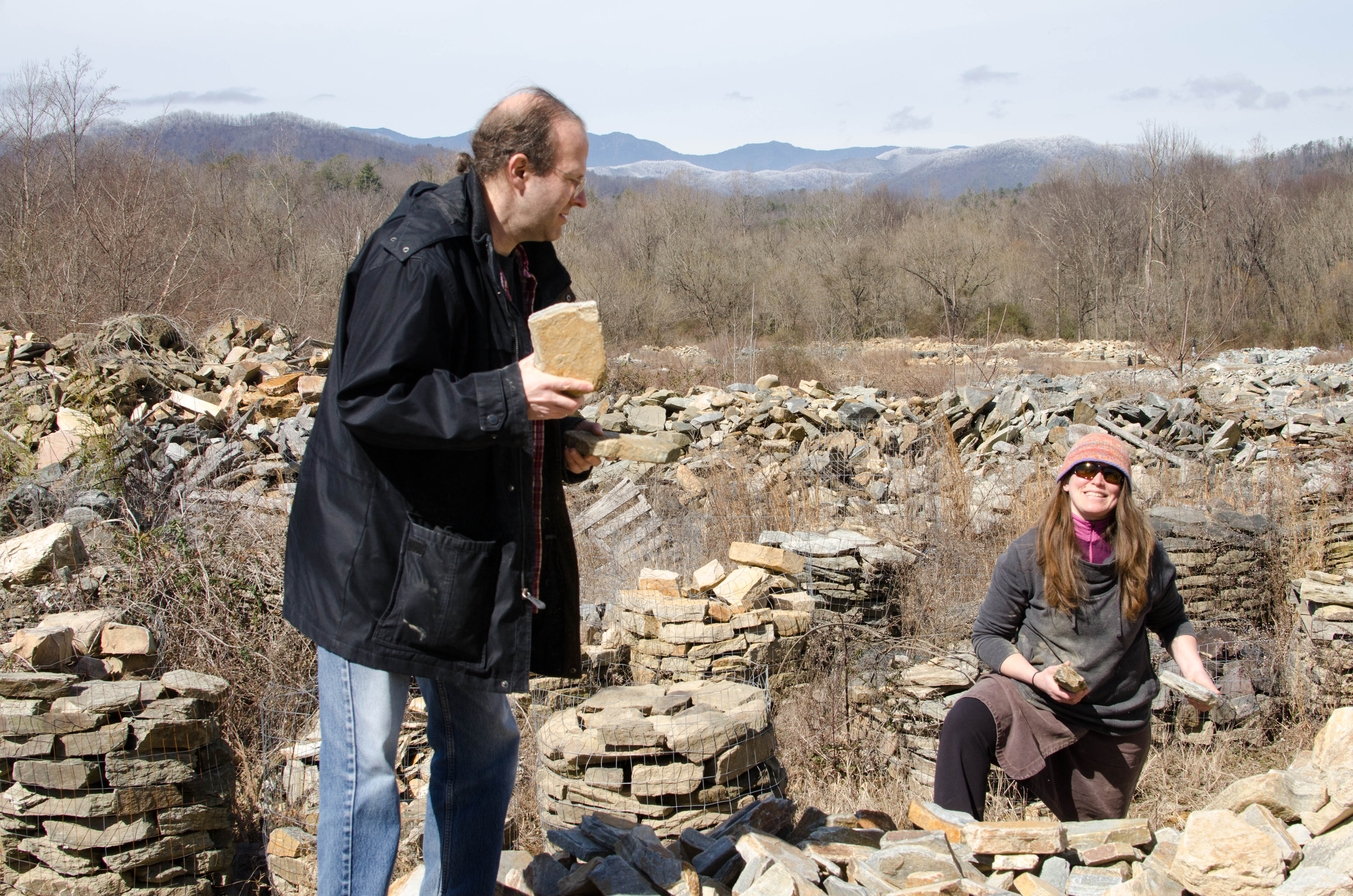
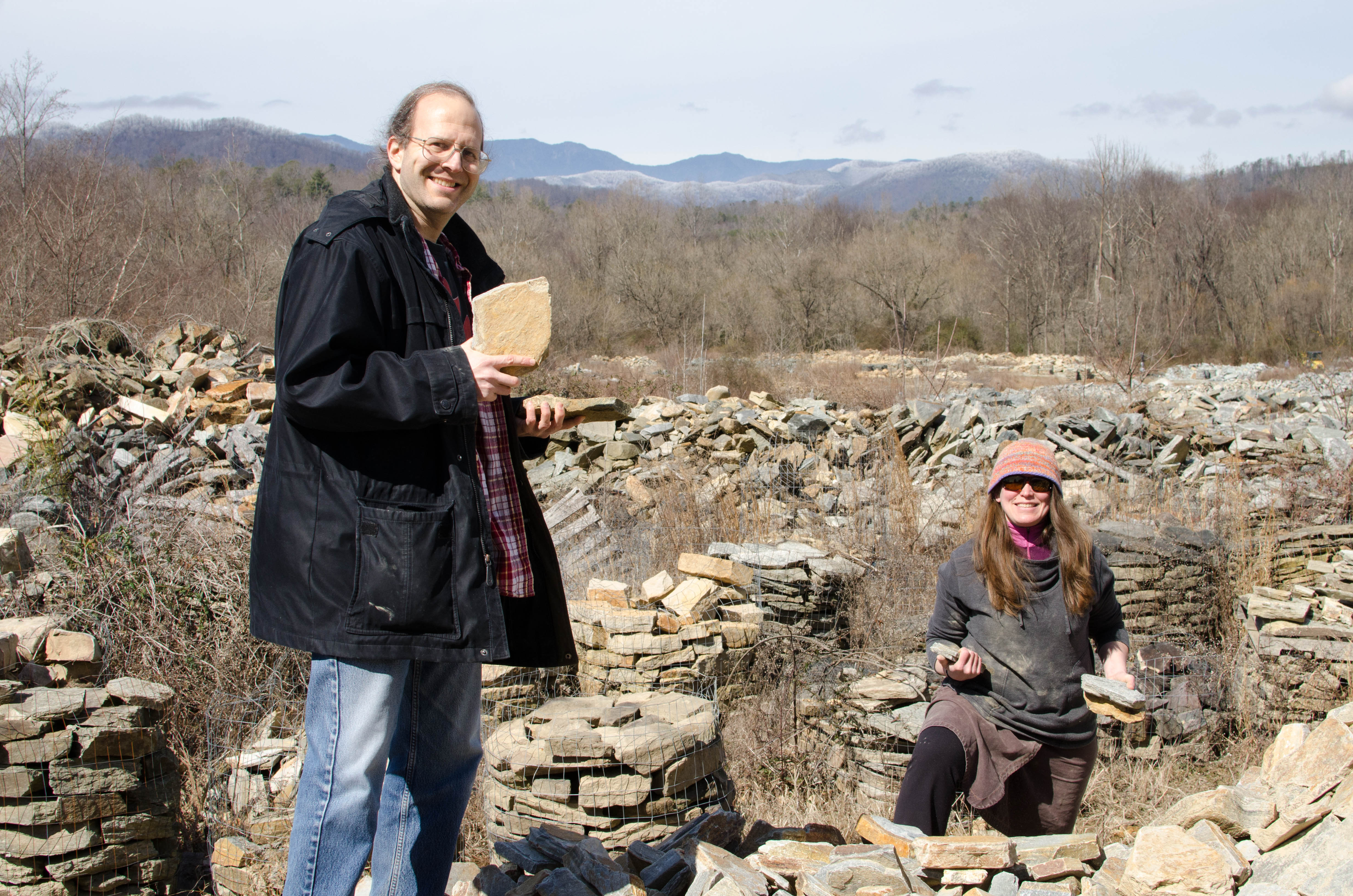
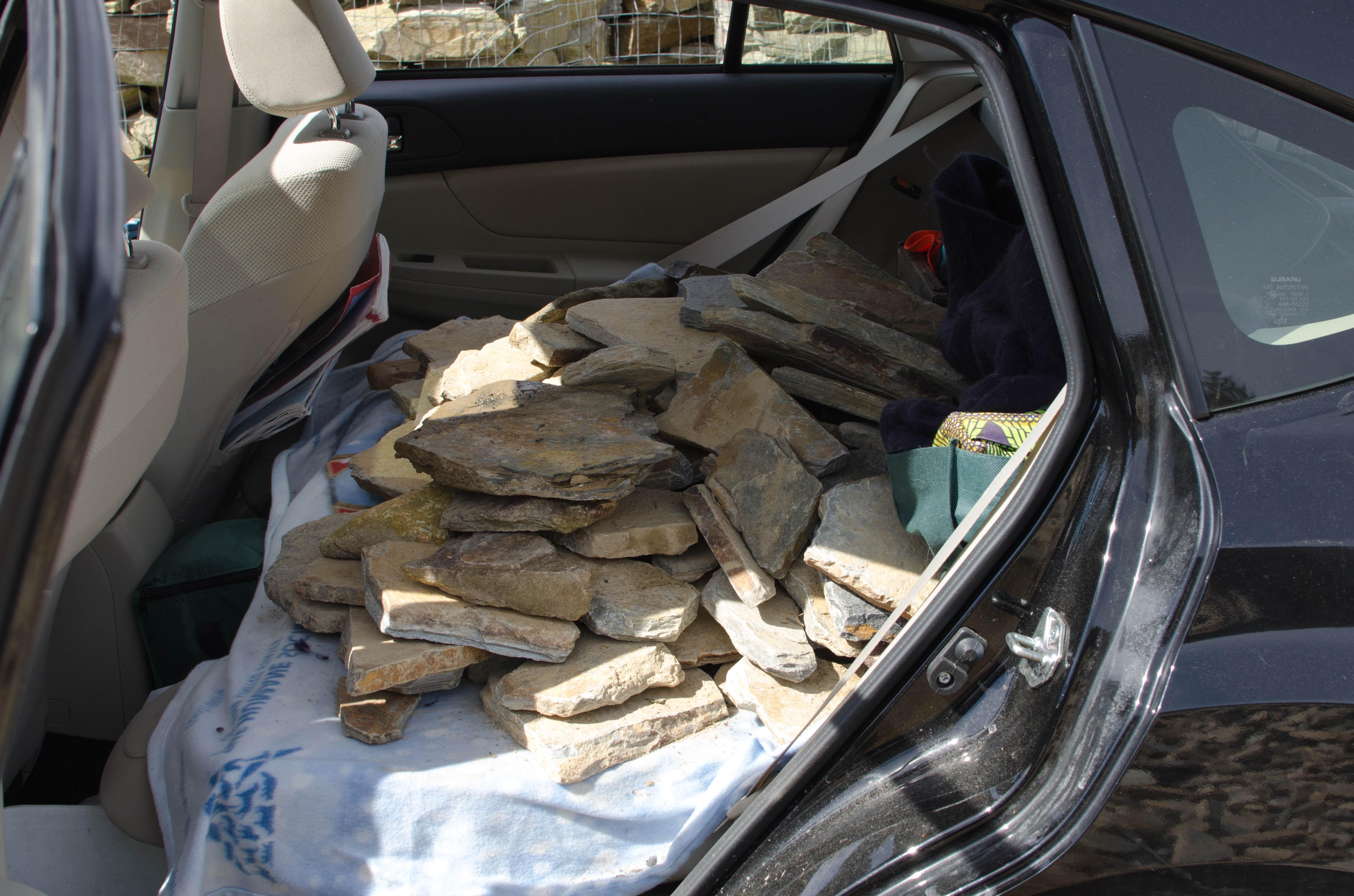
Within a mile of the visitor's center, the Parkway was closed for construction and we were detoured through some town. As we were driving through the town, we passed a rock quary. And the Universe spoke to Amber. It commanded her: you need to get several hundred pounds of loose rock and place it in the back seat of your car and drive it 700 miles north. Basically, what choice did she have. Or more realistically, what choice did I have, since it was her car.So we spent an hour going through the loose rock pile searching for appropriate stones. There was a guy with a pickup truck there who gave us advice and we chatted with him a bit. Note that he was not a "good old boy" but a retired investment banker or some such thing. I asked him if he'd take a few pictures of us and he happily agreed. He was familiar with my camera. After sufficient rocks were gathered, we continued on our way.
009-DSC_6583.jpg
bigger version
huge

This was a 10 foot high hill of rocks. They have front-end loaders dump...(more)
011-DSC_6587.jpg
bigger version
huge

Frank and Amber show off the results of their rock hunt.
013-DSC_6597.jpg
bigger version
huge

Amber's car, with the back-seat folded down, with a bunch of rocks there, as...(more)
015-DSC_6600.jpg
bigger version
huge

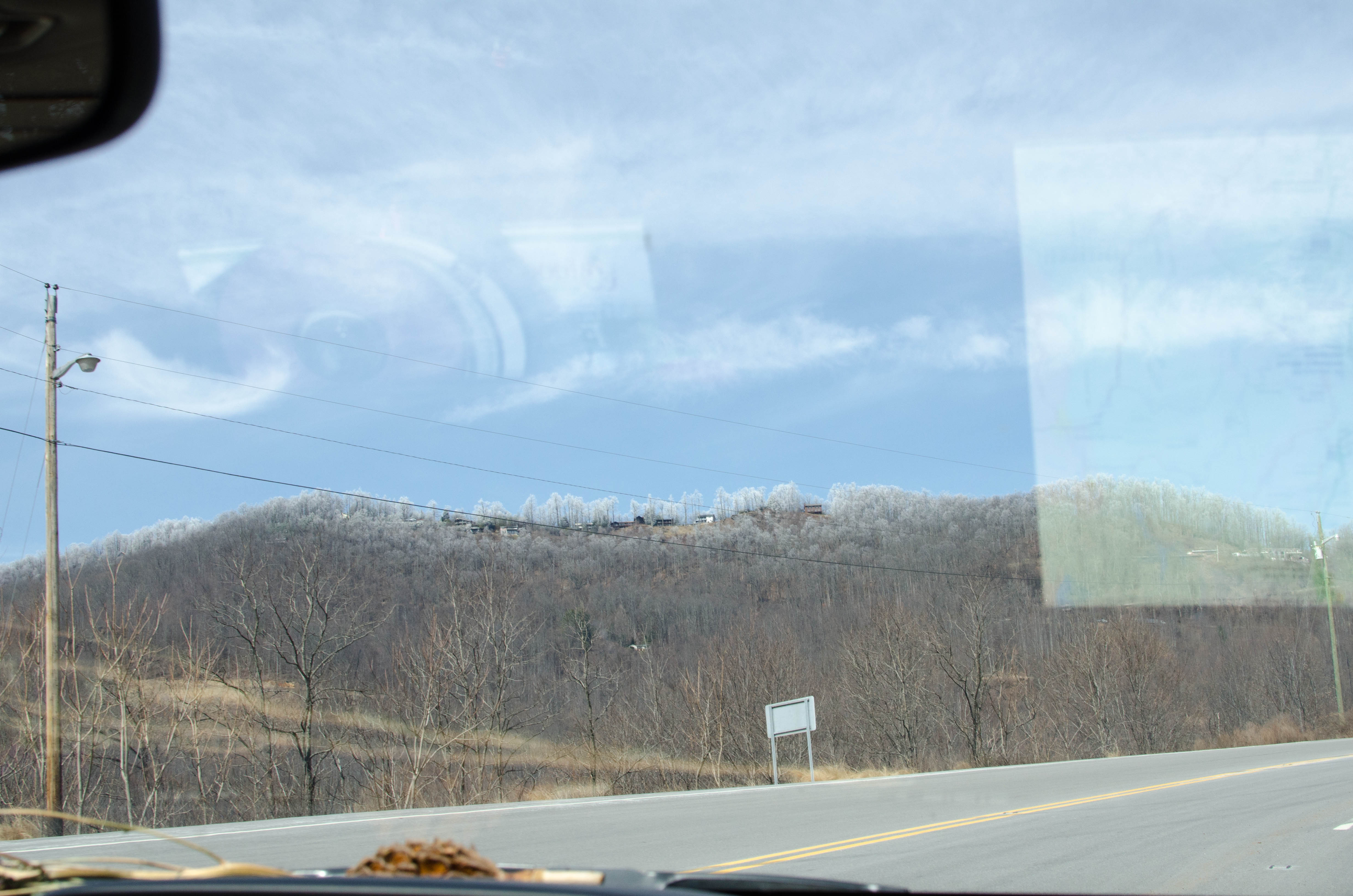
Frosted mountains visible in the distance from the quary.
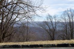
Back on the Parkway
We started driving on the parkway, but it seemed to be closed like every 5 miles with detours and the like. Some of the closures were from weather (snow and ice) but others were for maintenance.
016-DSC_6603.jpg
bigger version
huge

The first hint of snow-frosted trees visible on the top of the
hill.
017-DSC_6605.jpg
bigger version
huge

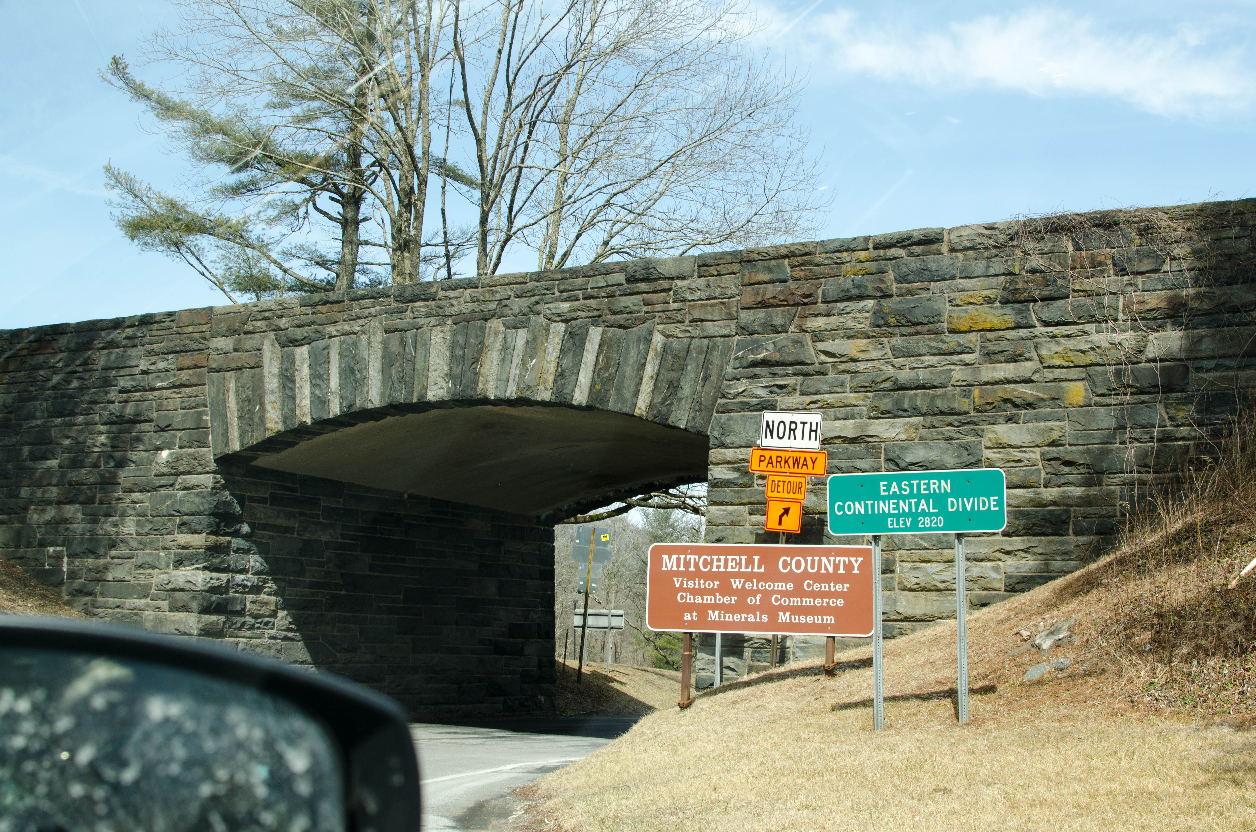
The Eastern Continental Divide. And a detour from a closed
section of the...(more)
018-DSC_6606.jpg
bigger version
huge
. So we ate our lunch in the parking lot nad then continued on. And by that I mean the road beyond the Museum was closed and we had to take a detour.")
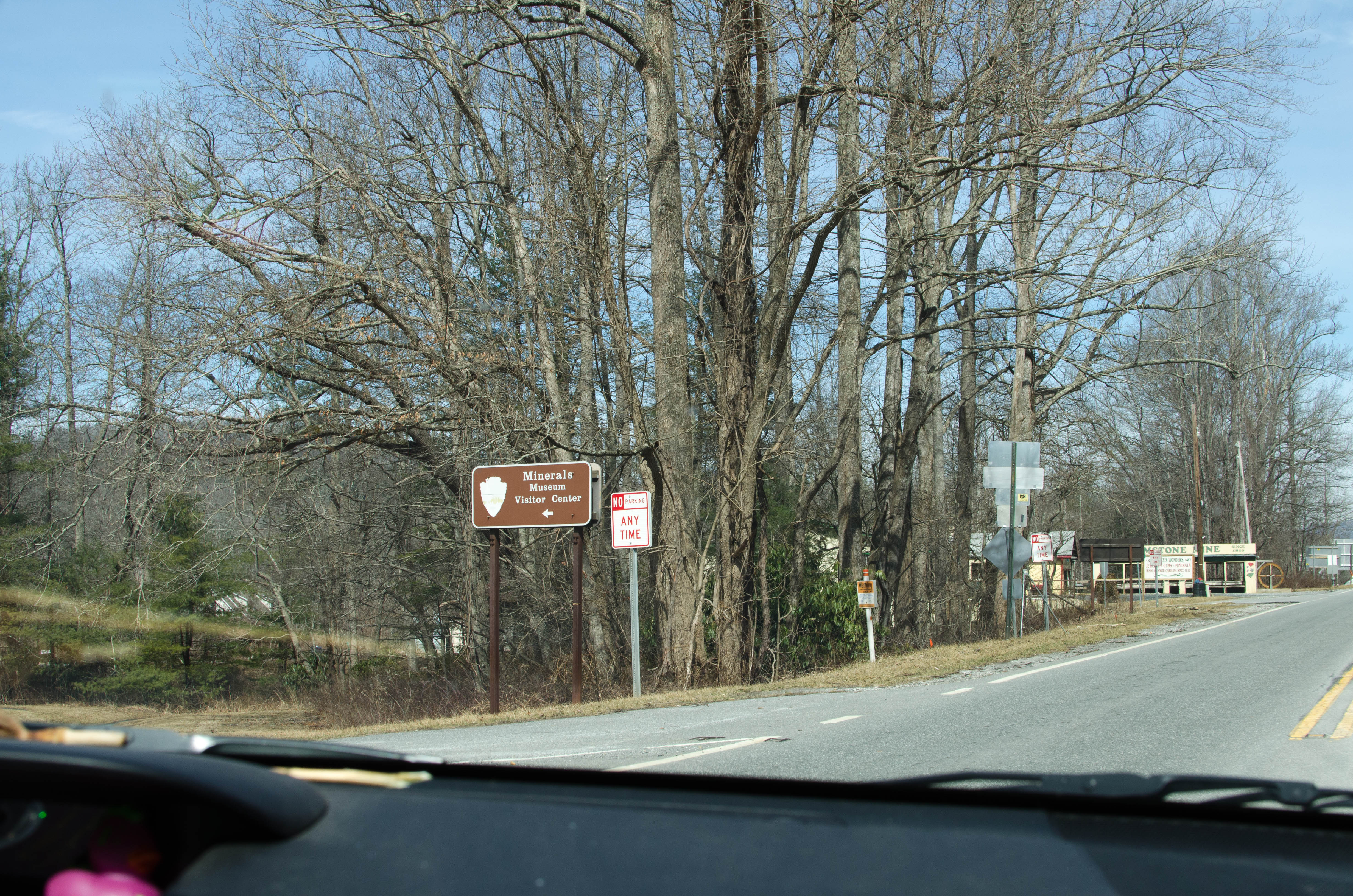
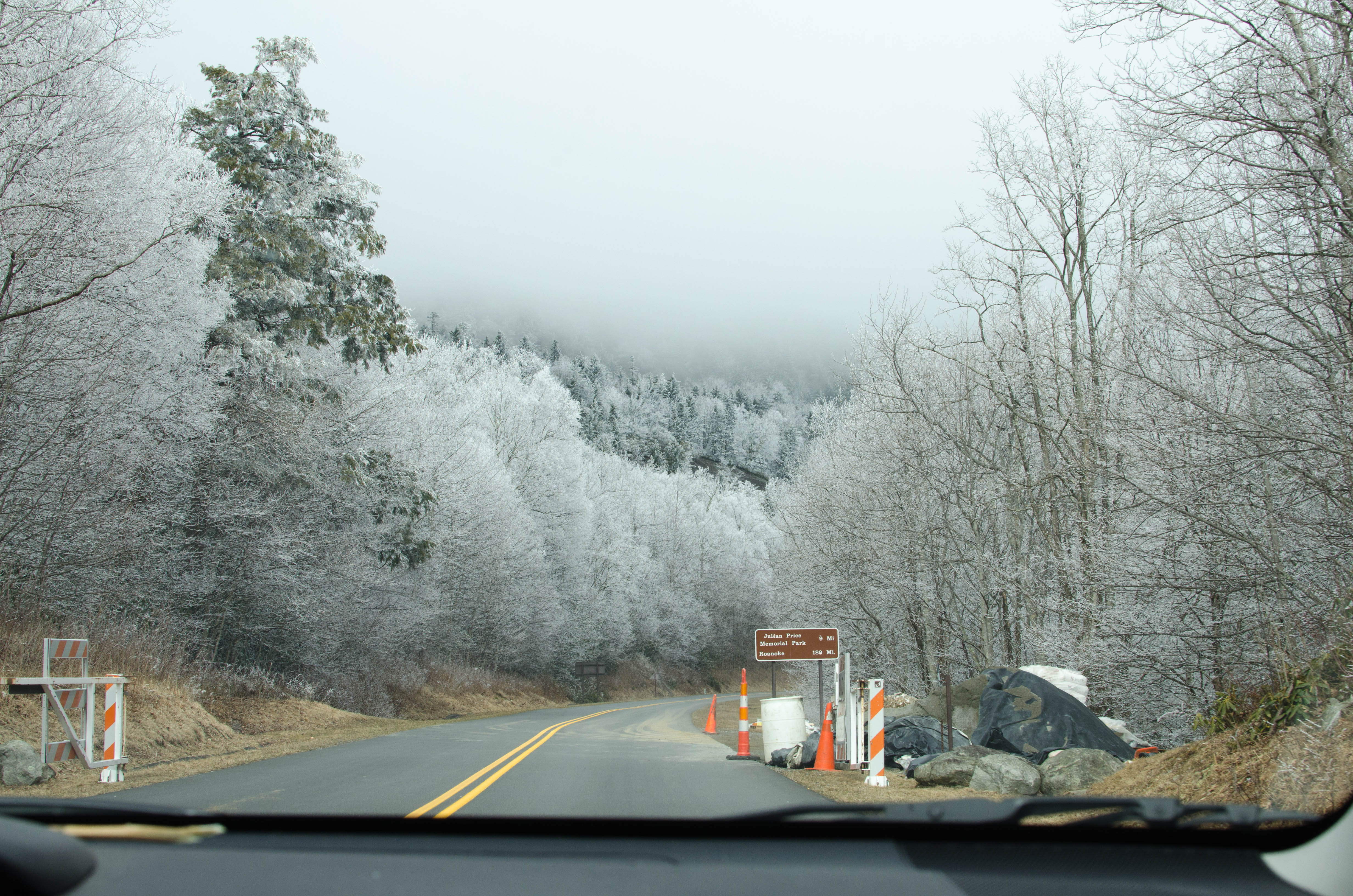
After getting back on the Parkway, we stopped at the Minerals
Museum. But it...(more)
019-DSC_6608.jpg
bigger version
huge

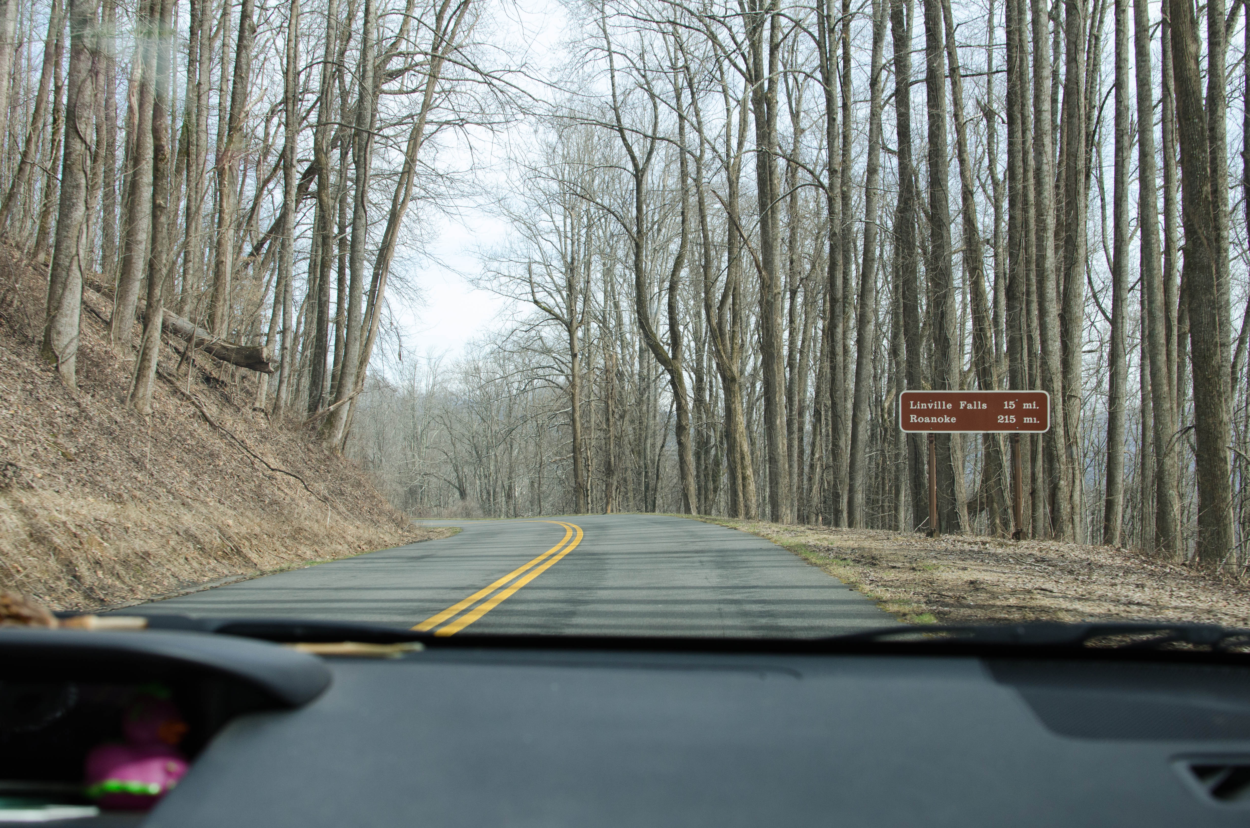
For those keeping score, it was now around 1pm, and we were 215
miles from...(more)
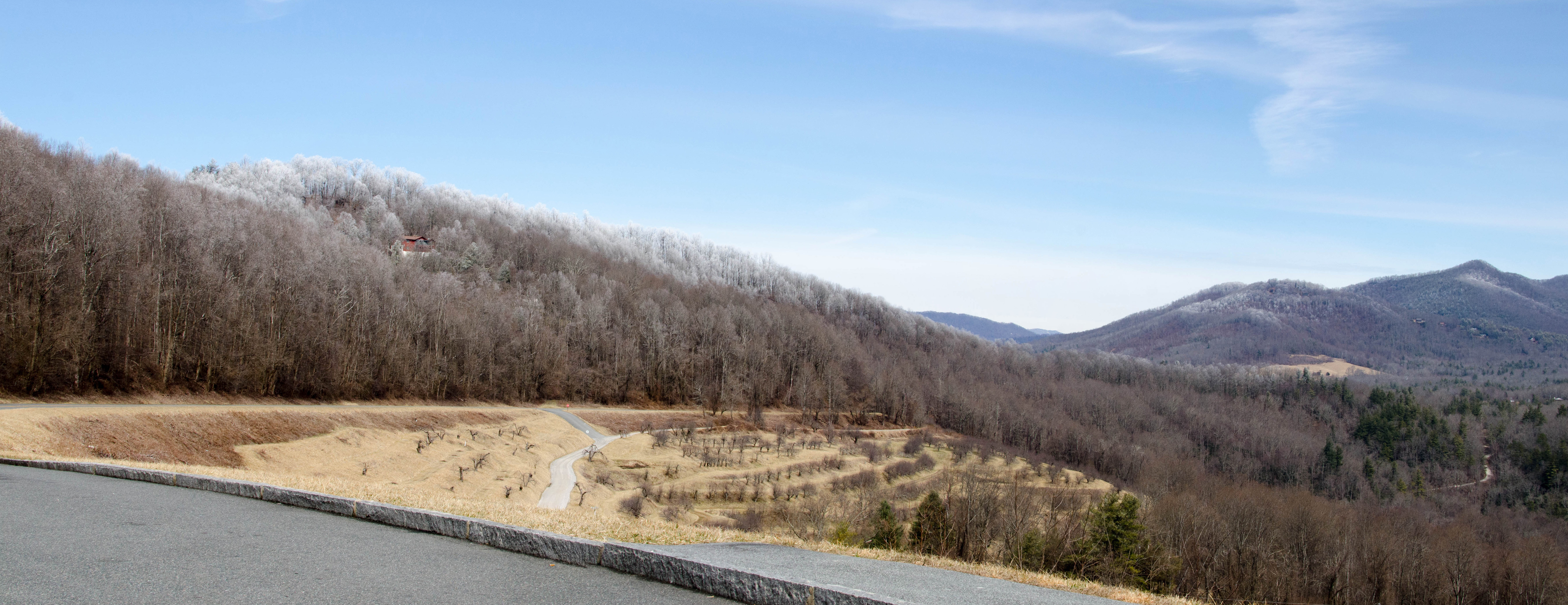
020-table_rock_mtn_P...
bigger version
huge
.")
A two shot panorama of Table Rock Mountain.
Recall that the stone quary was...(more)
021-DSC_6610.jpg
bigger version
huge

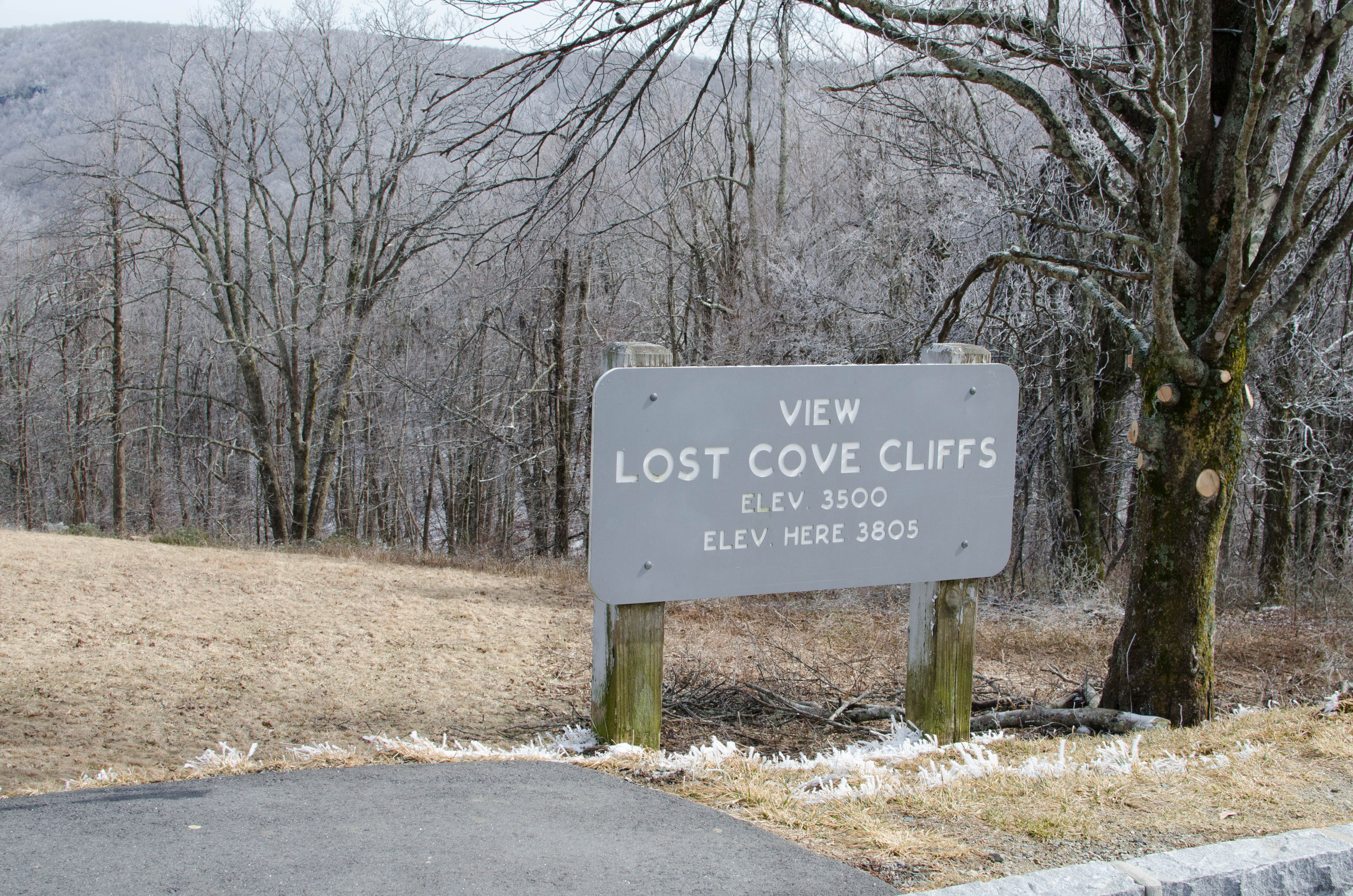
Some views of the mountain from the overlook at
Table Rock Mountain.
024-DSC_6615.jpg
bigger version
huge

Just a few minutes later we reached an altitude where
there was snow on the...(more)
025-HeffnerGap_Panor...
bigger version
huge

A panoramic shot at the Heffner Gap overlook. I
didn't crop the picture,...(more)
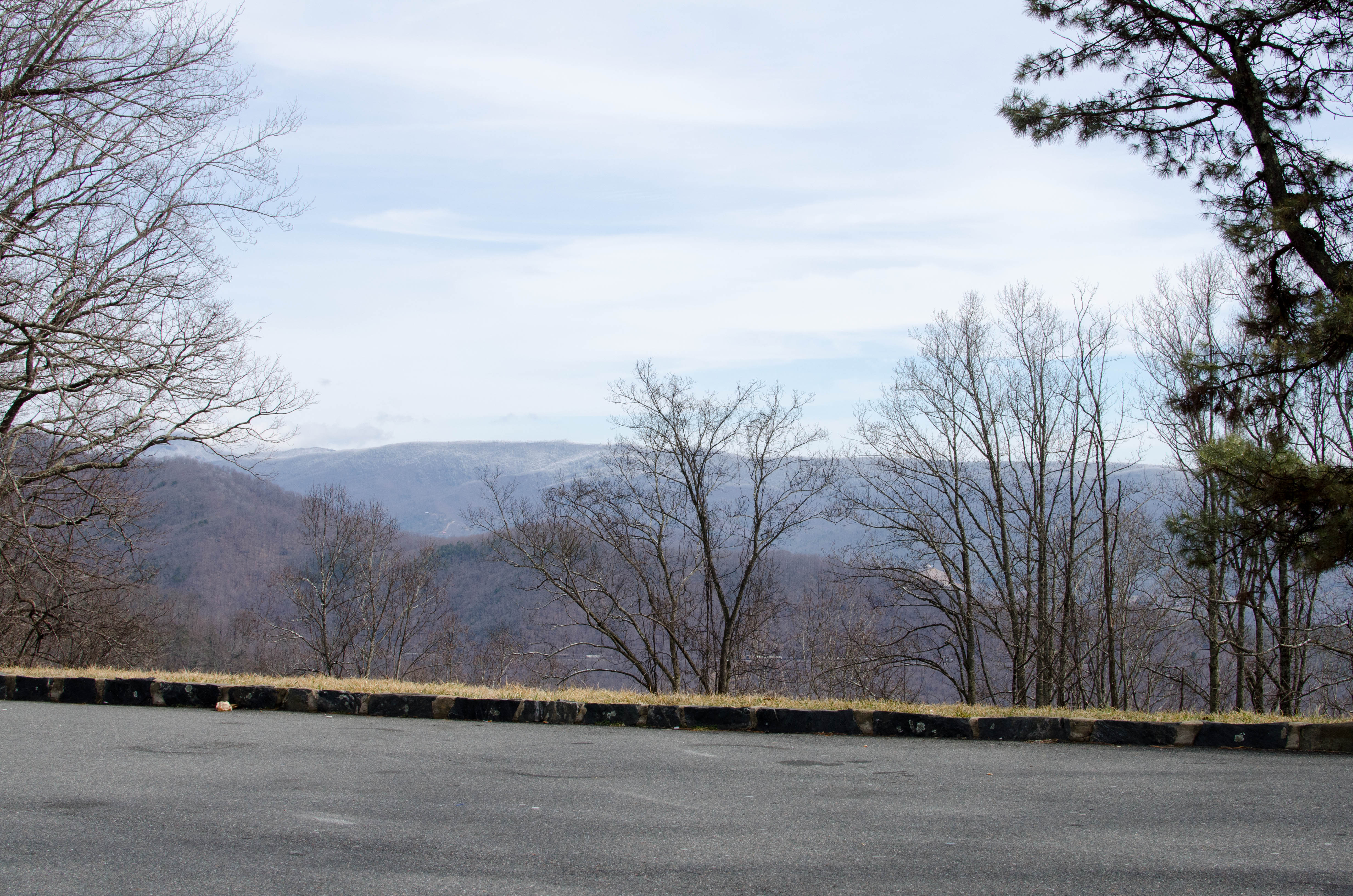
026-DSC_6625.jpg
bigger version
huge

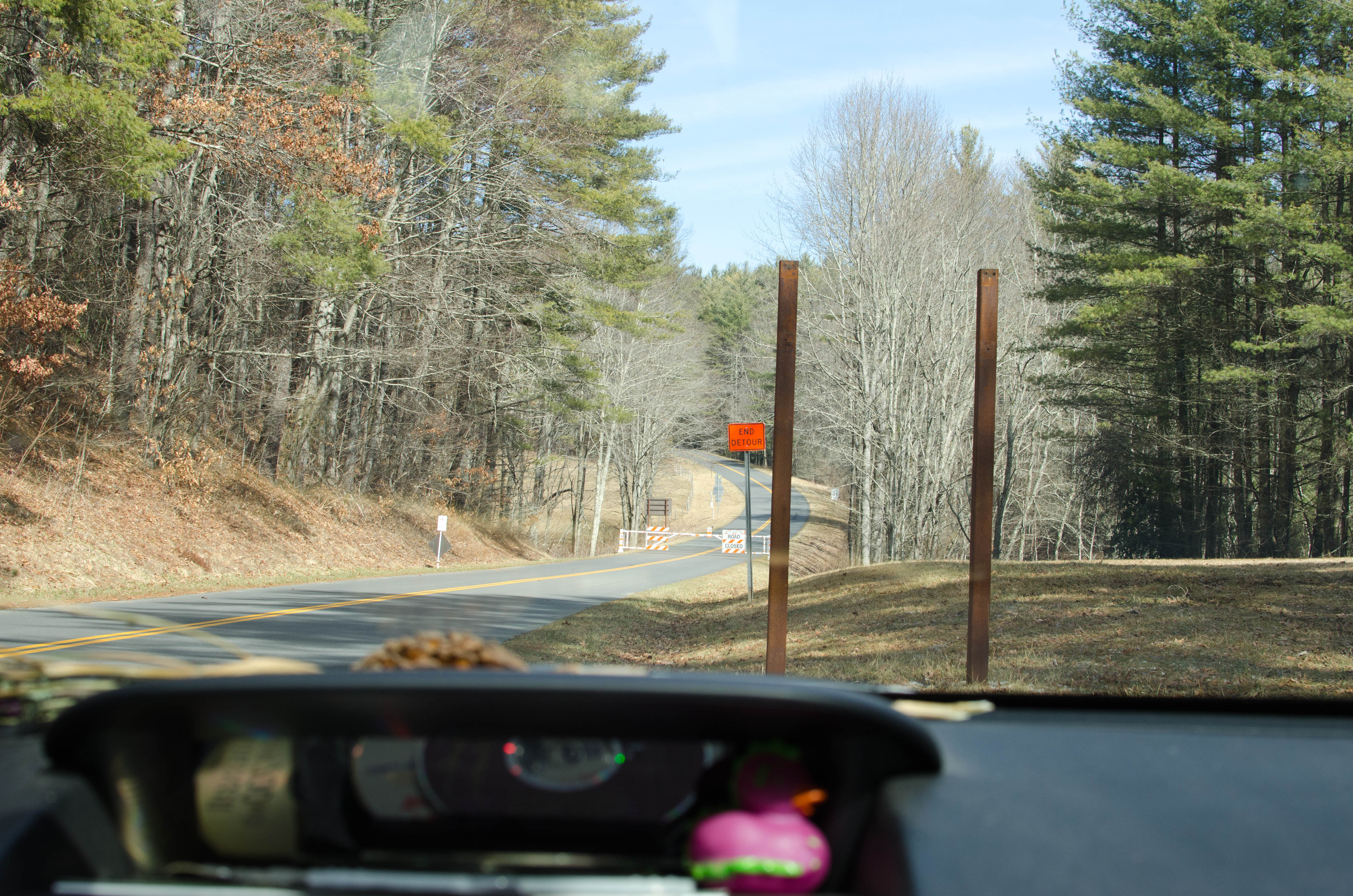
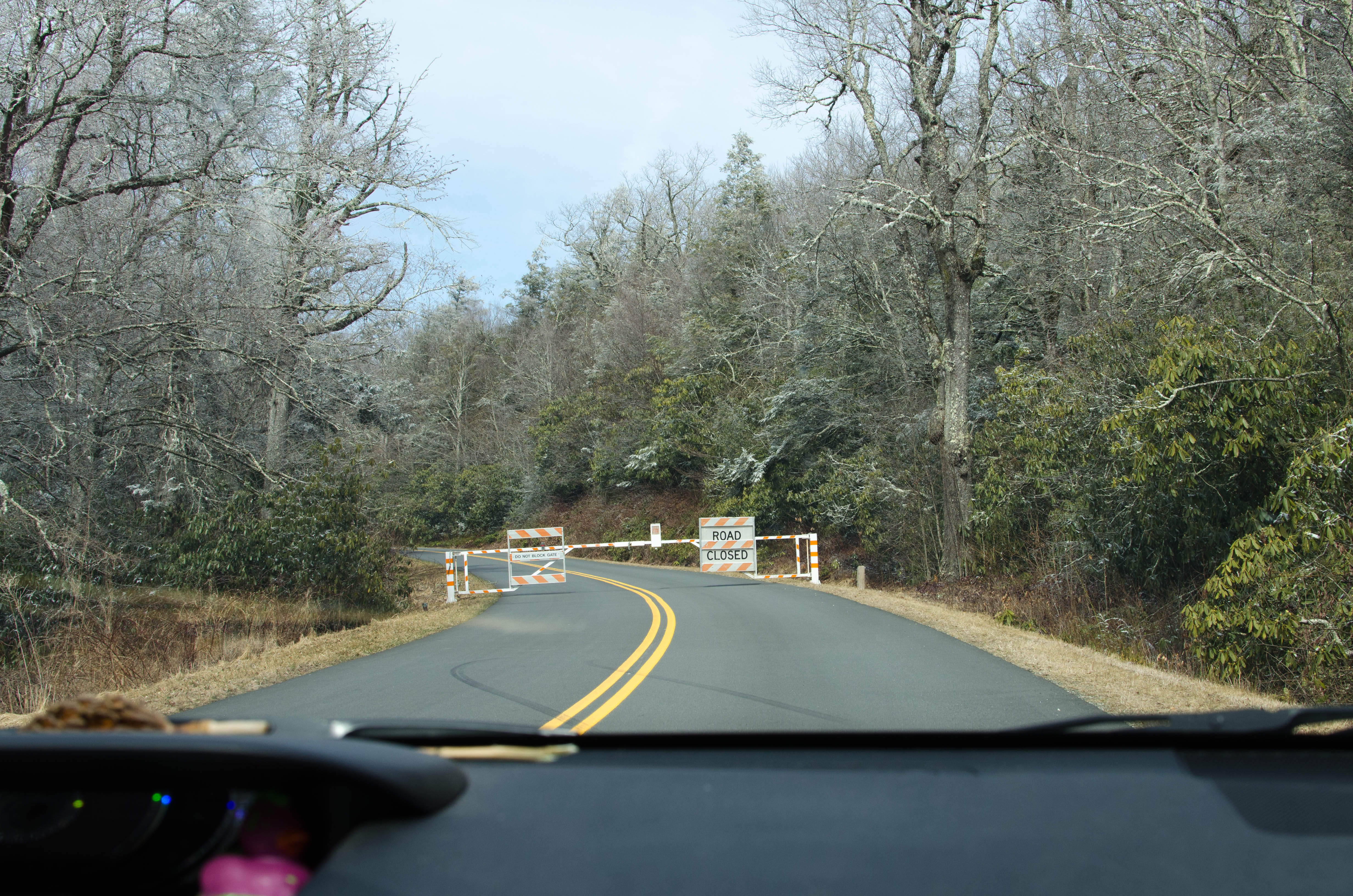
Hey look, the road's closed again. What a coincidence!
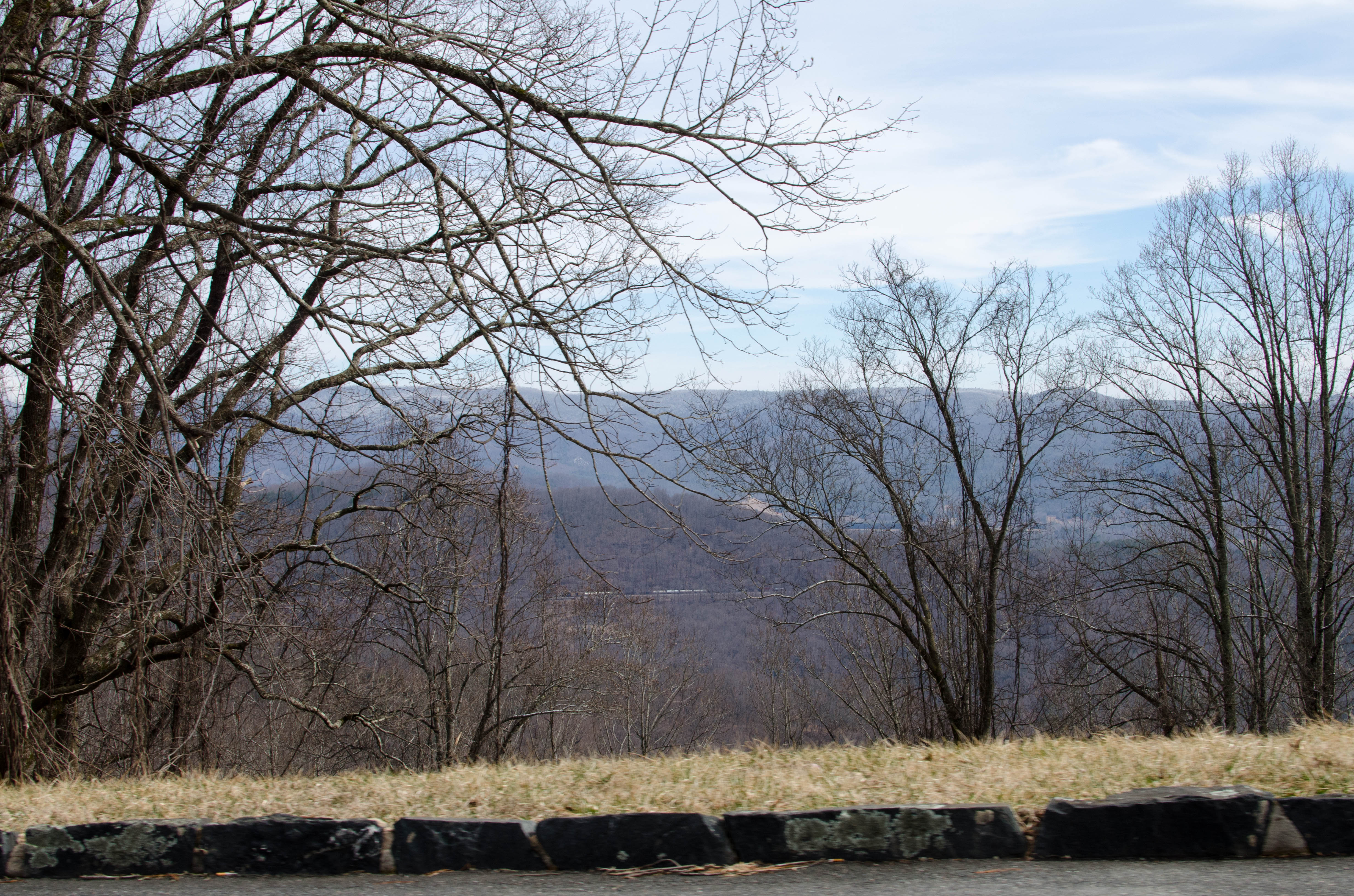
027-DSC_6627.jpg
bigger version
huge

I think this shot was to show where the previous road closure
occurred.
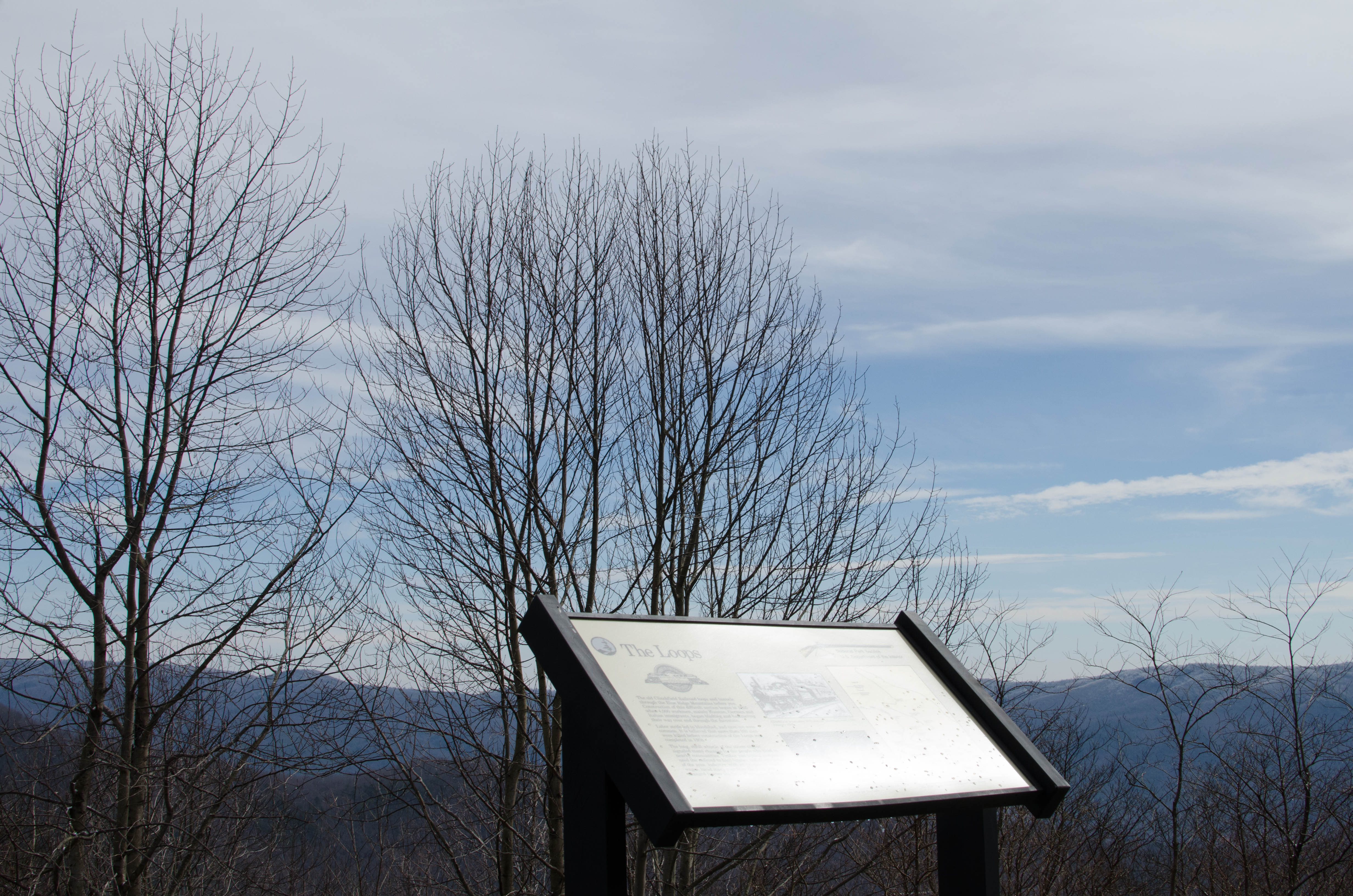
028-DSC_6628.jpg
bigger version
huge

Five miles and an hour later, we get back on the Parkway.
Aaaaaaand...(more)
036-DSC_6637.jpg
bigger version
huge

Could it be? Why yes, it is. The road is closed again. It's
almost as if...(more)
037-DSC_6638.jpg
bigger version
huge

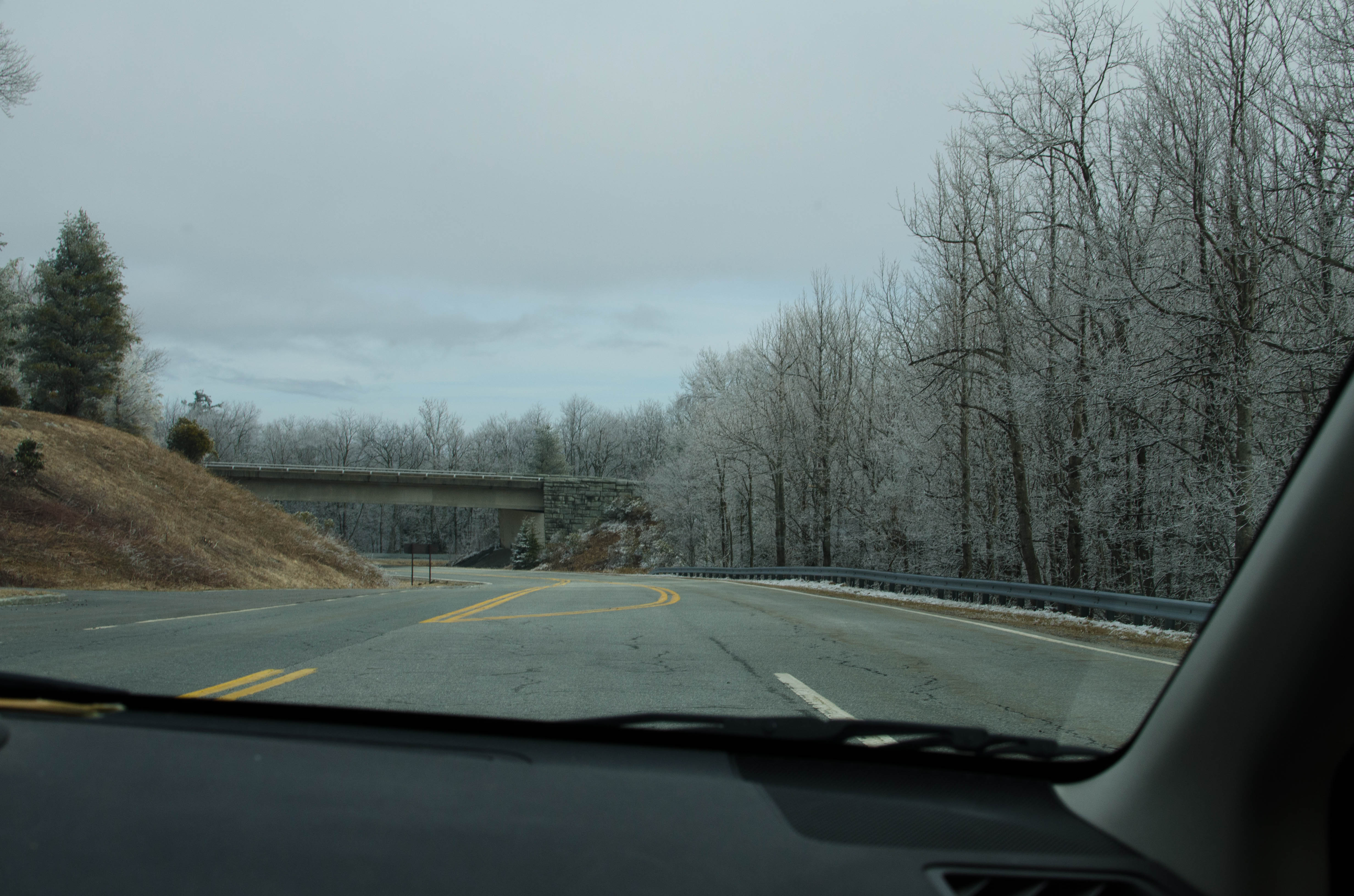
Another underpass, so way to get from the Parkway to other
roads. It probably...(more)
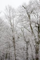
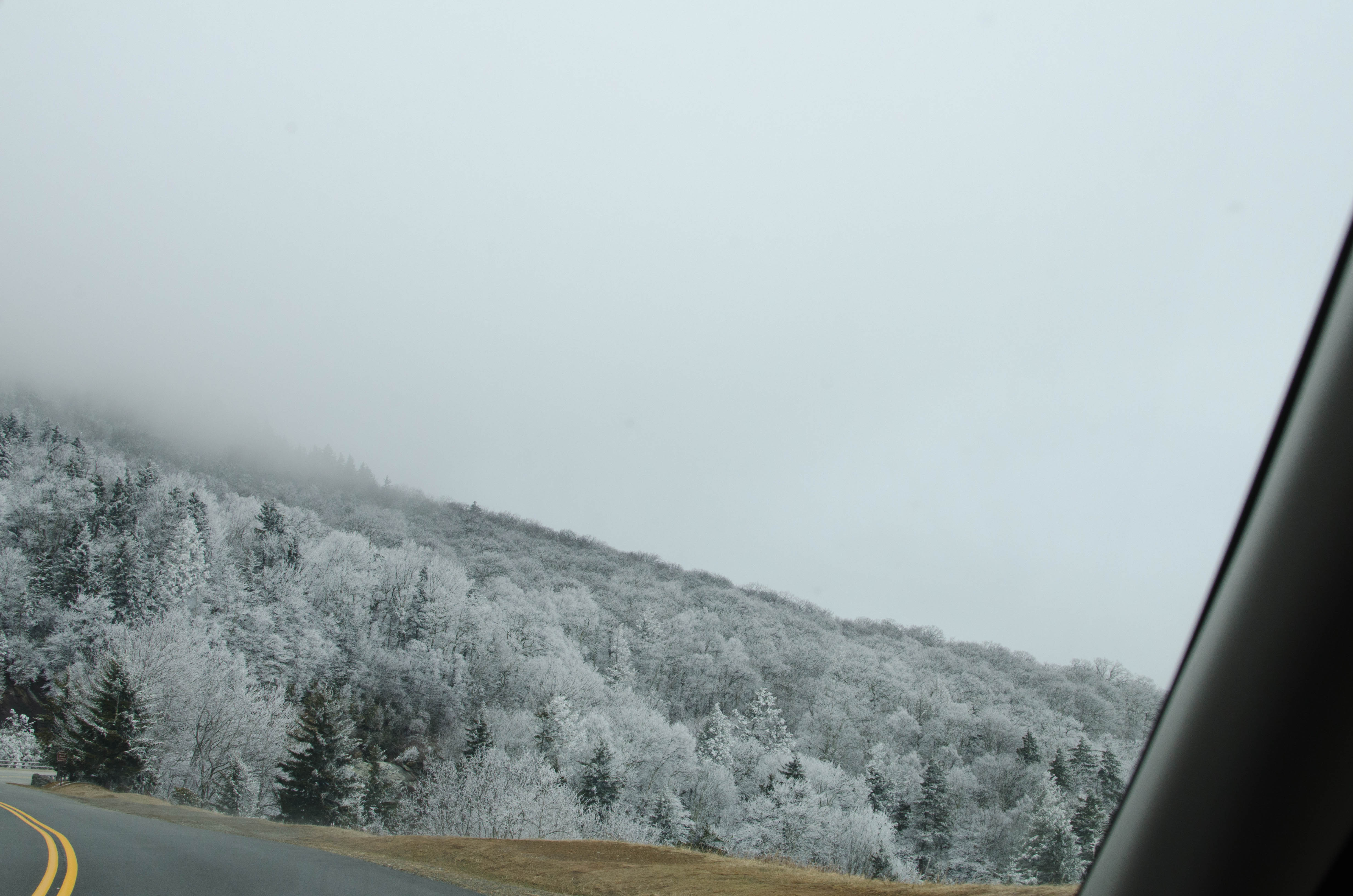
Frosty Higher Altitudes
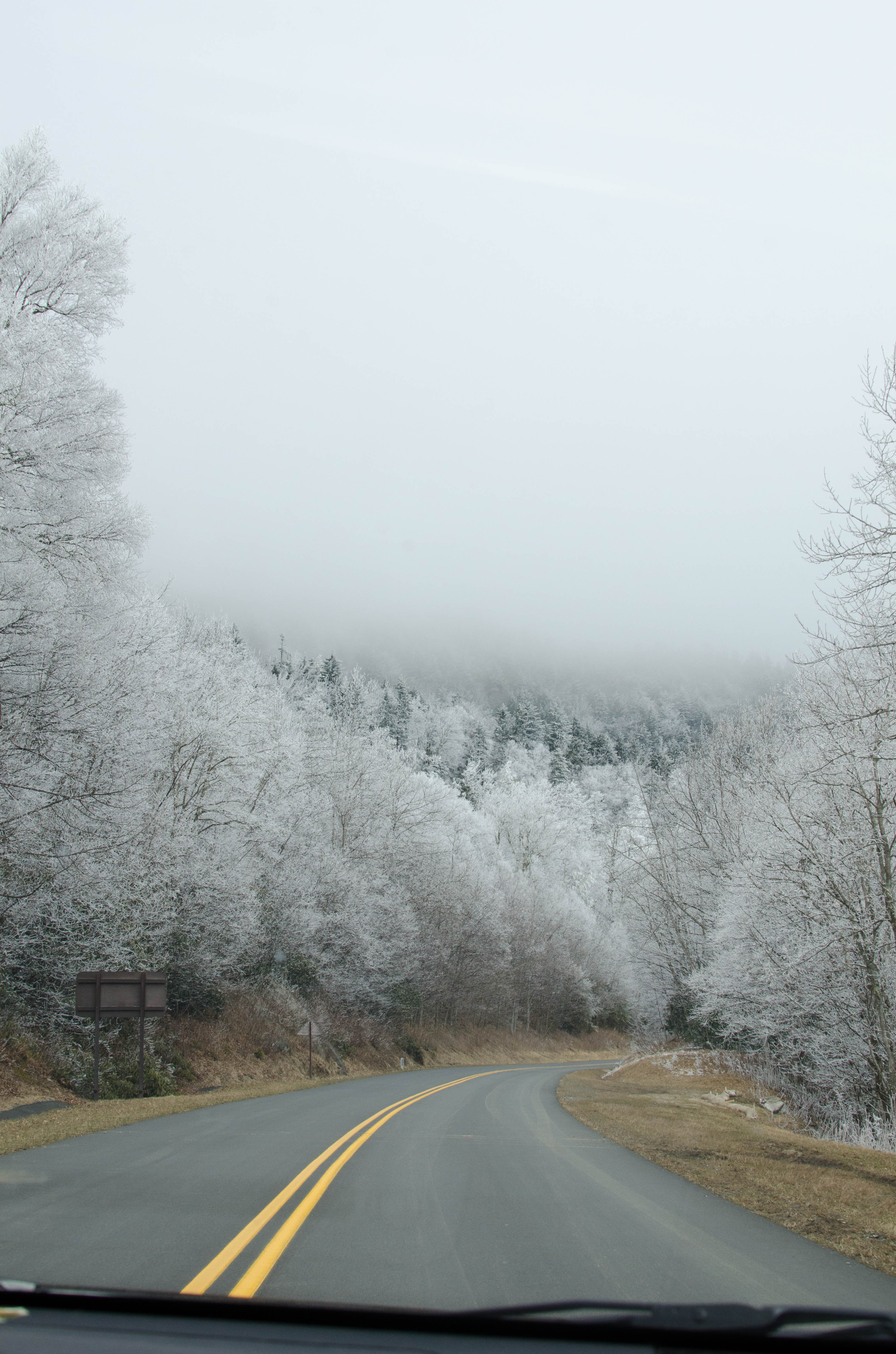
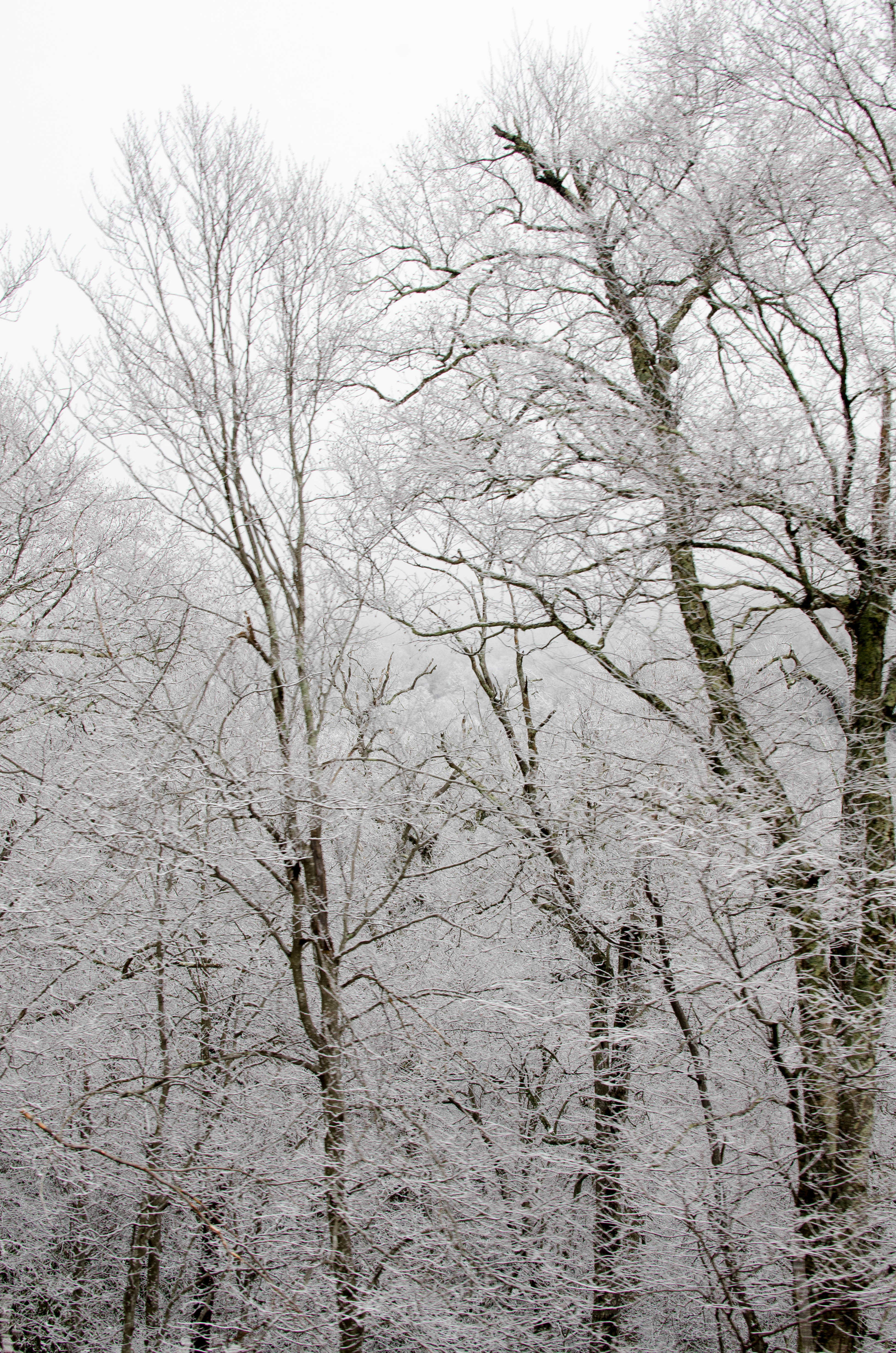
After a while, we got into snowier regions. There
were low clouds that swallowed up the treetops and mountaintops with a wall of
white. The roads were mostly dry and clear. But on occasion, we'd come
around a turn and see one lane blocked by a foot of snow, but the other was
clear.
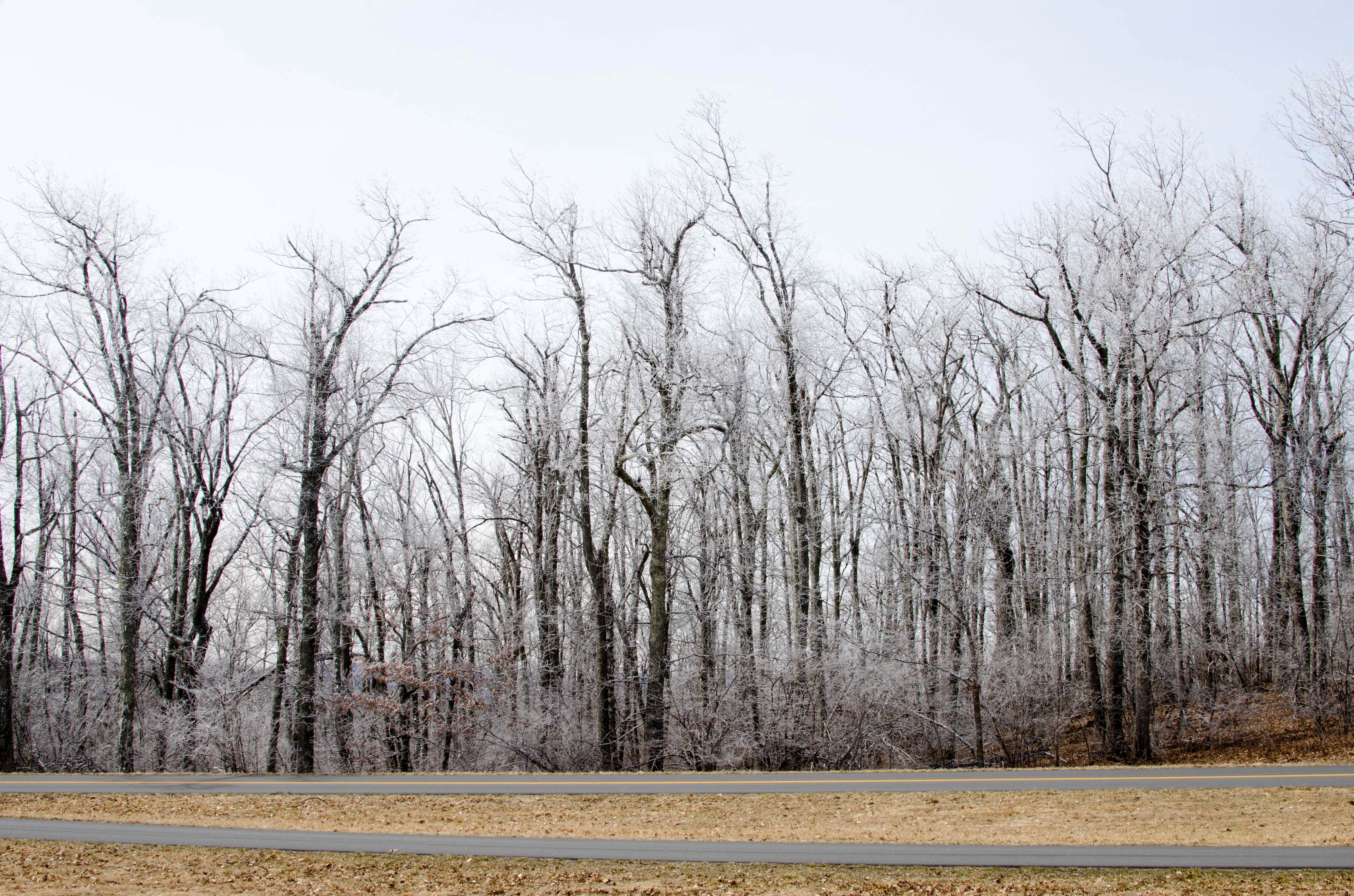
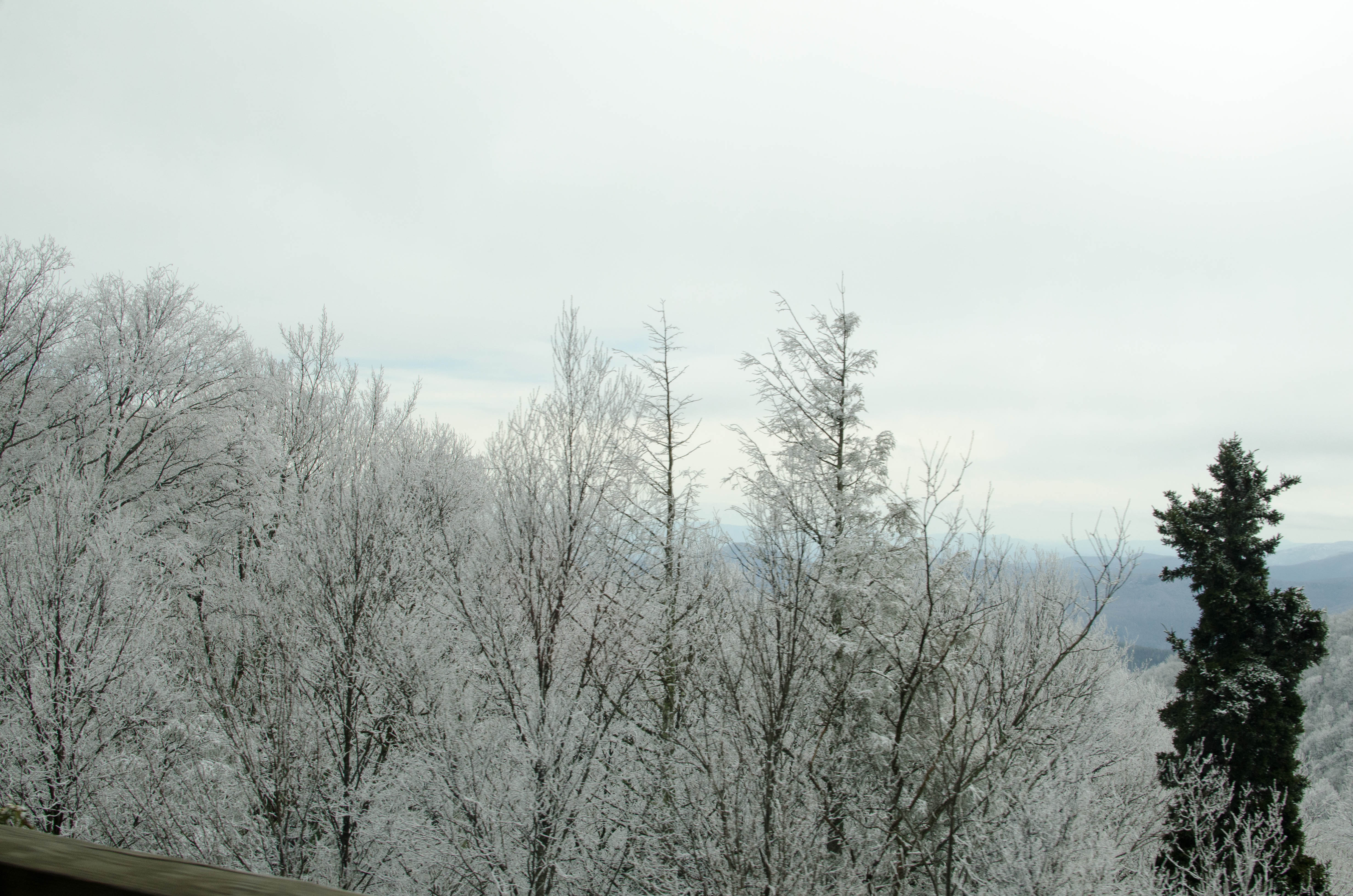
039-DSC_6641.jpg
bigger version
huge

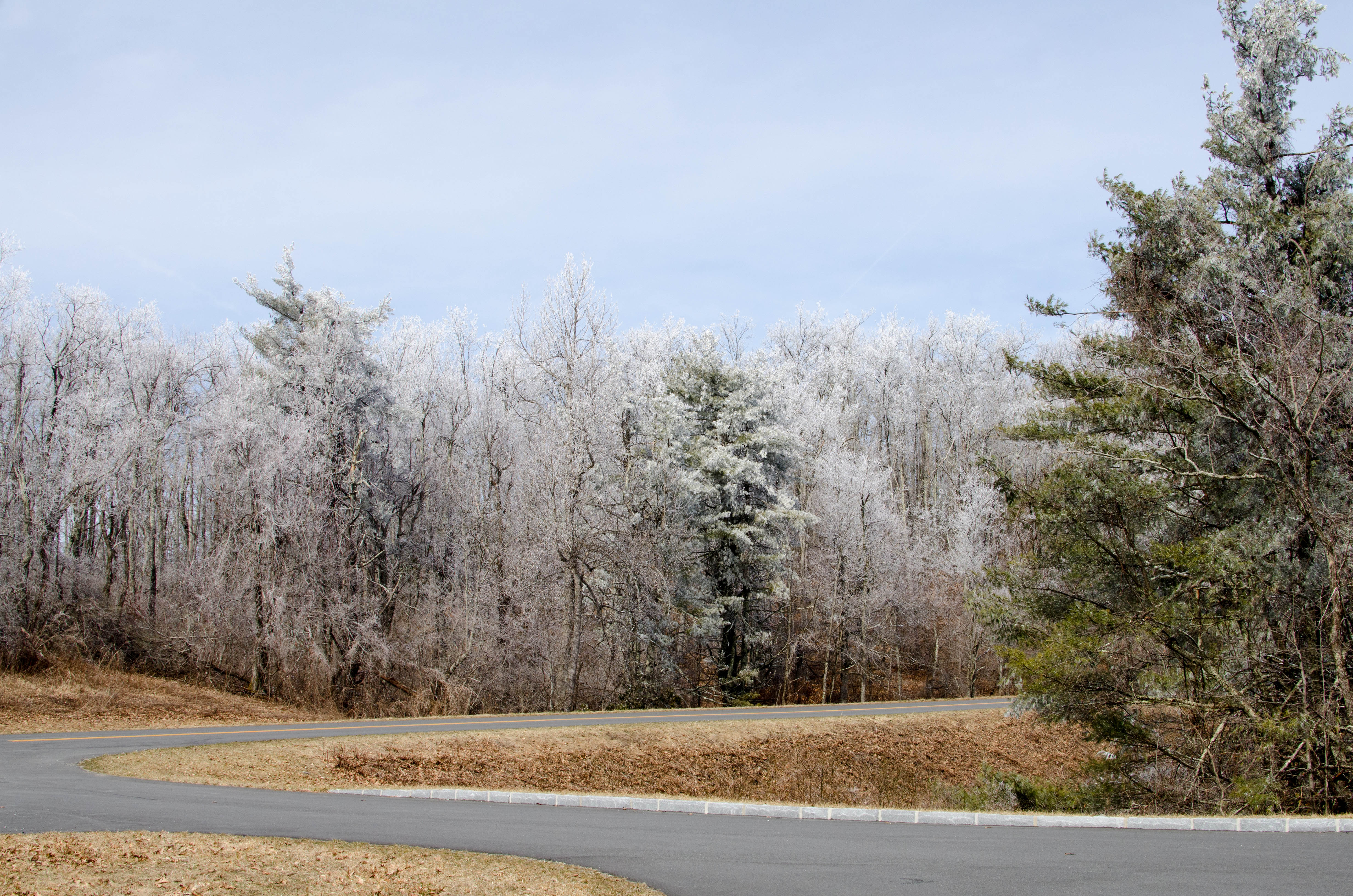
The frosted trees with the clouds above looked both cool and
ominous.
040-DSC_6642.jpg
bigger version
huge

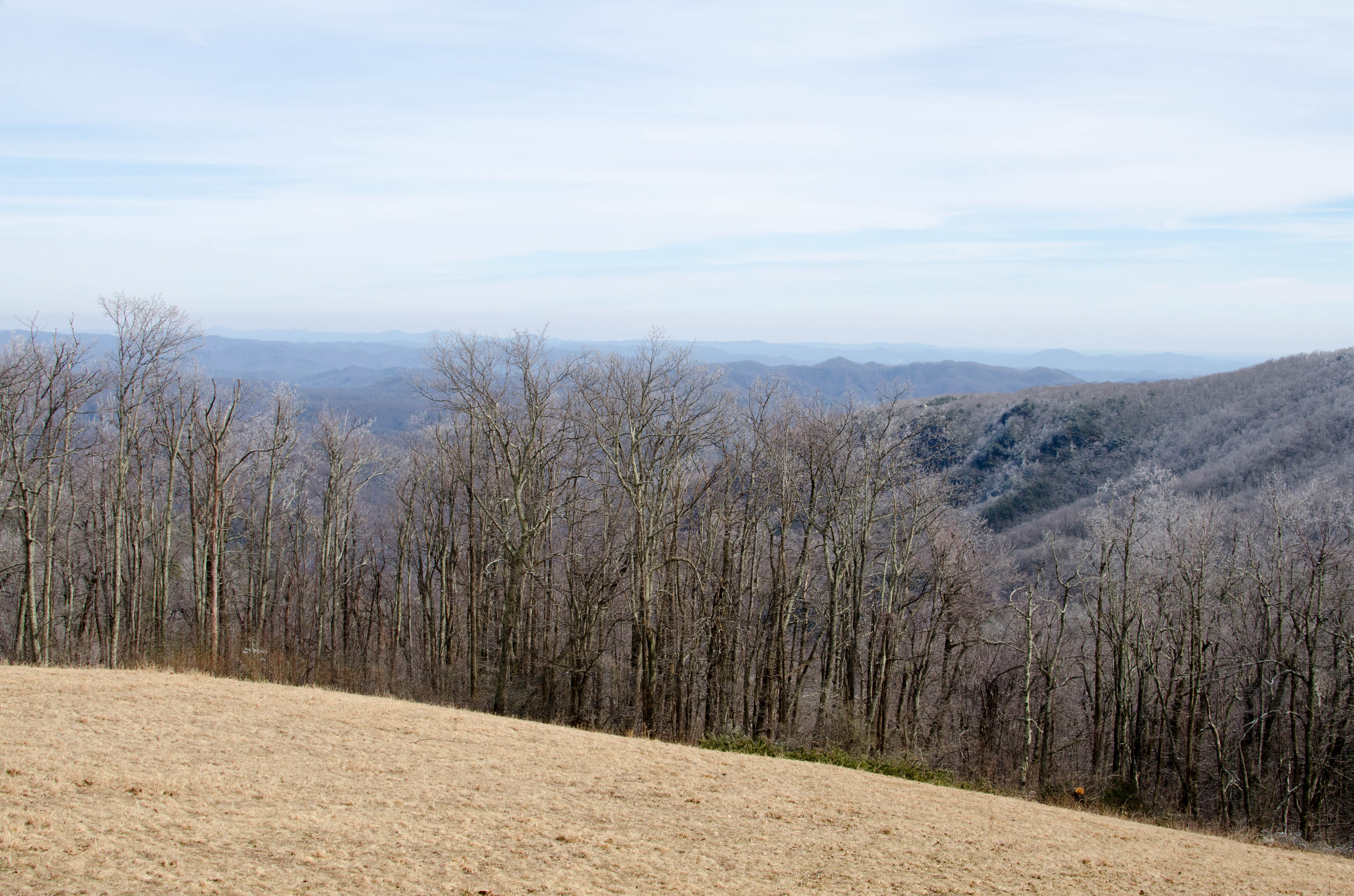
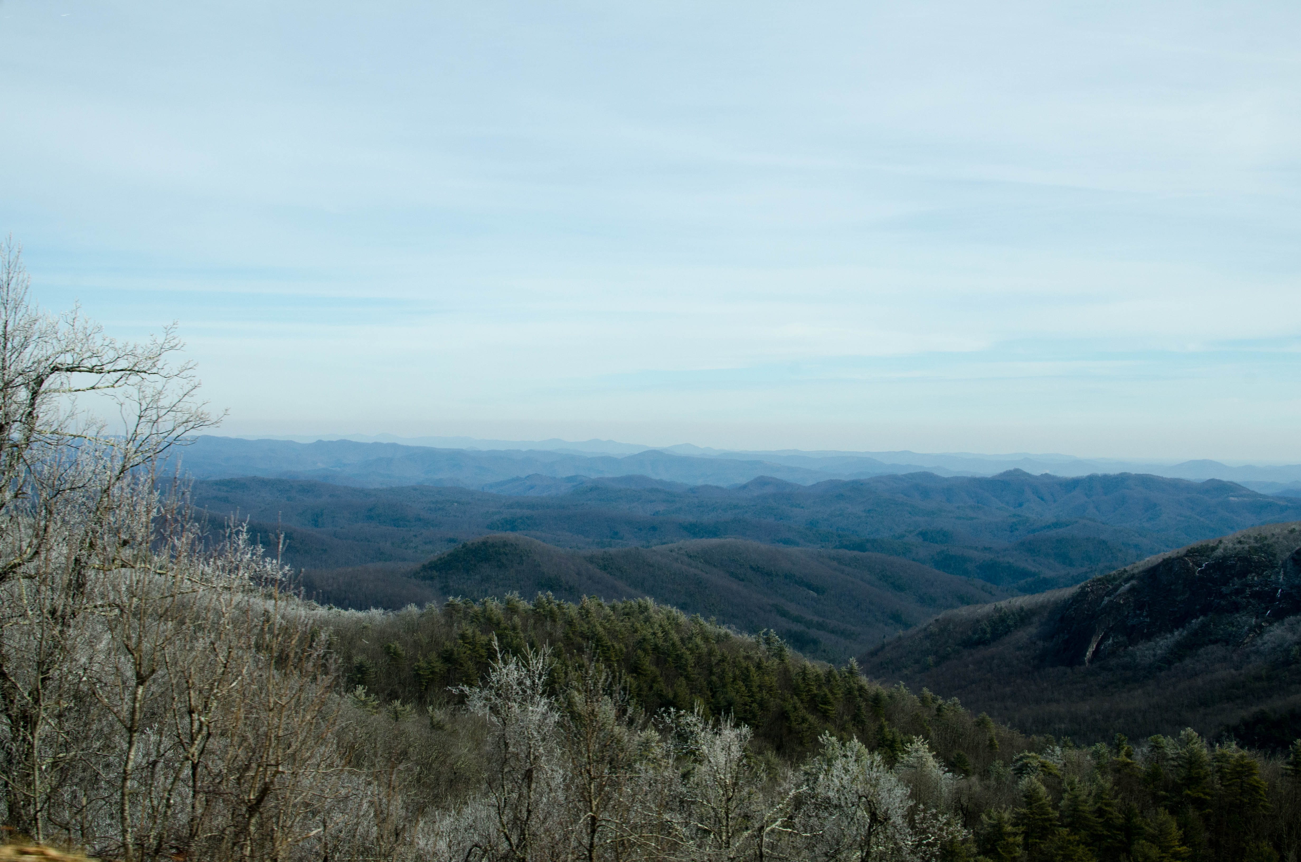
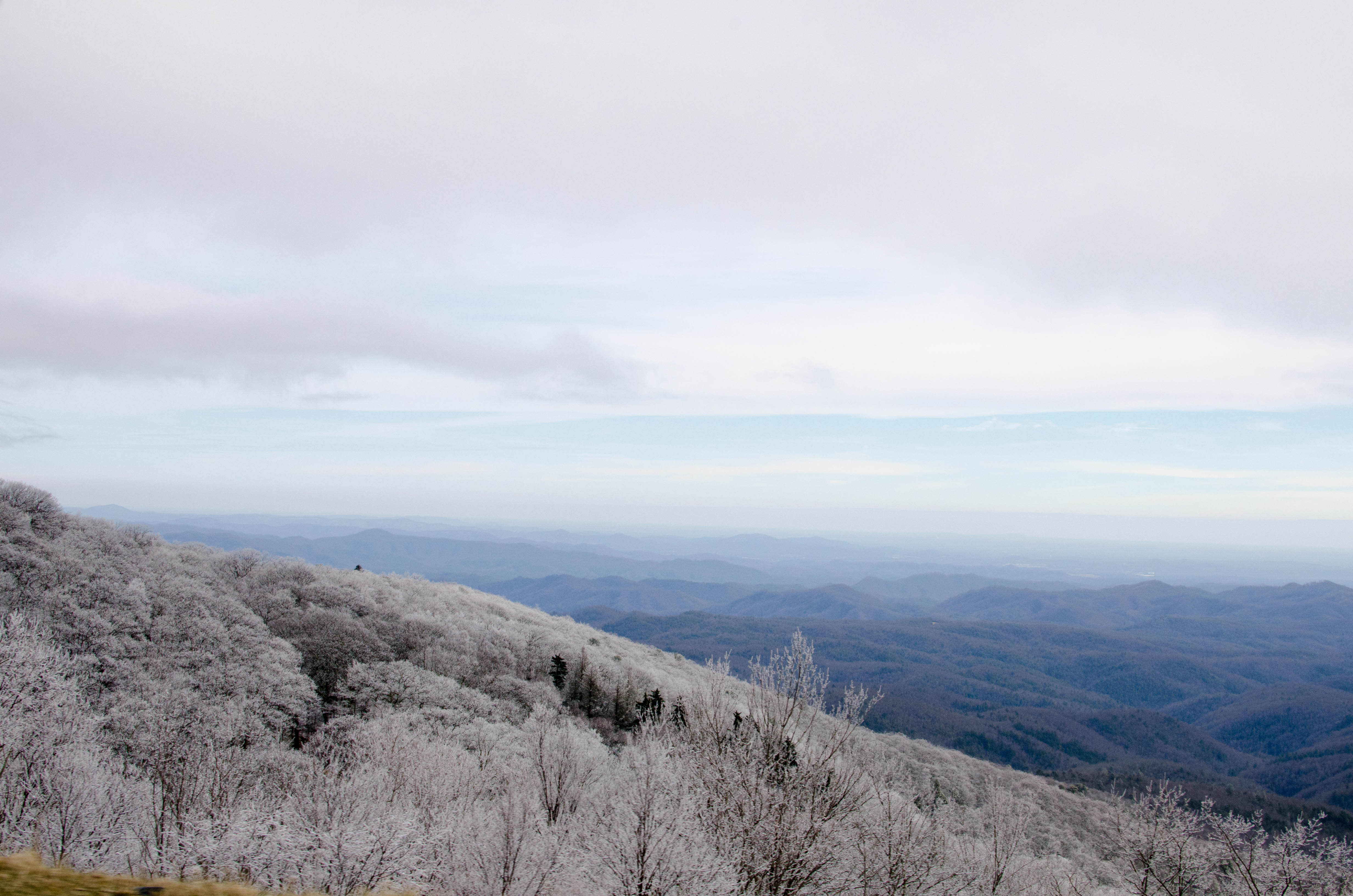
The mountain ranges were still visible off to the side.
041-DSC_6643.jpg
bigger version
huge

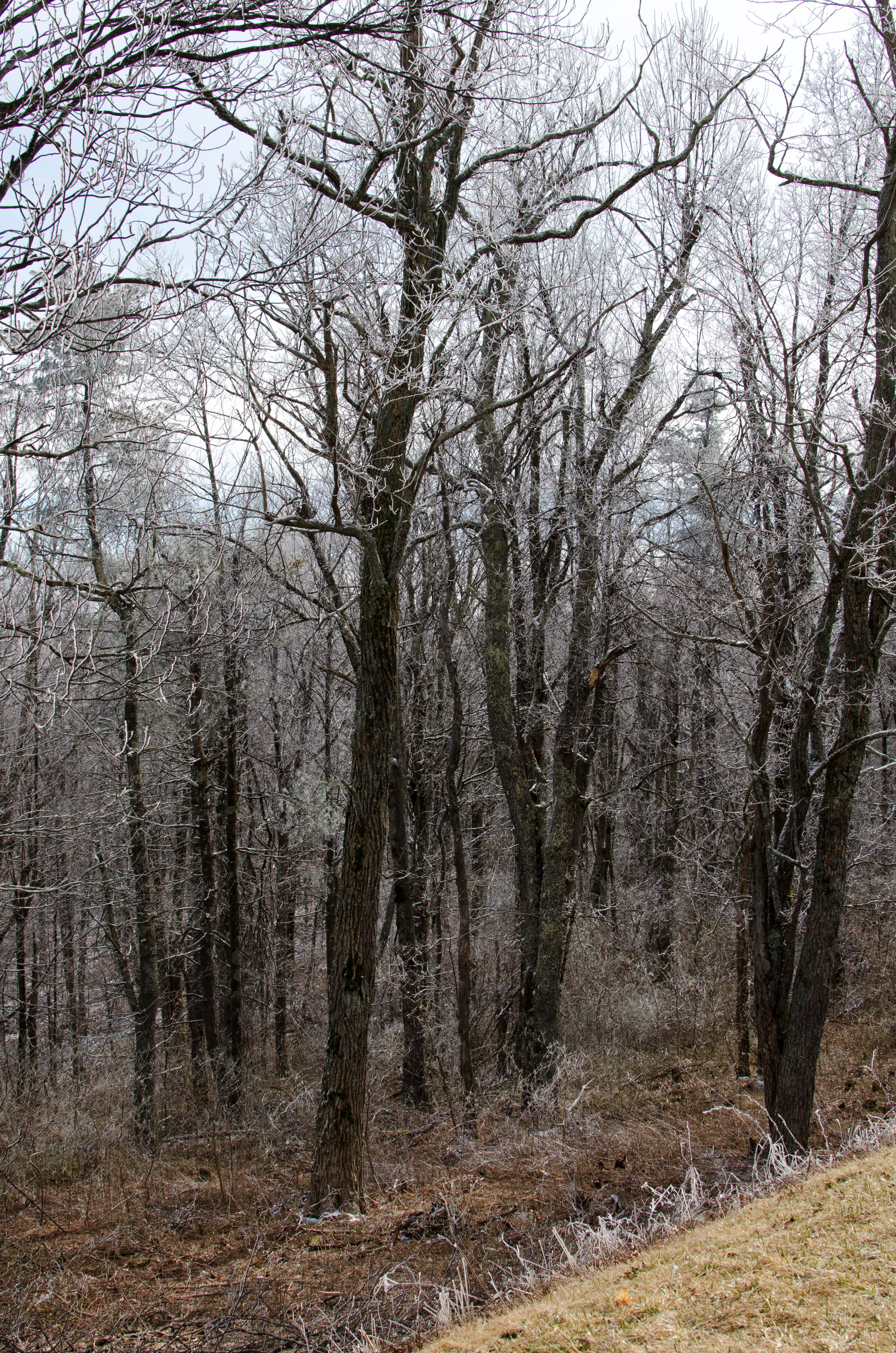
The trees were white and the top of the hill was obscured
043-DSC_6646.jpg
bigger version
huge
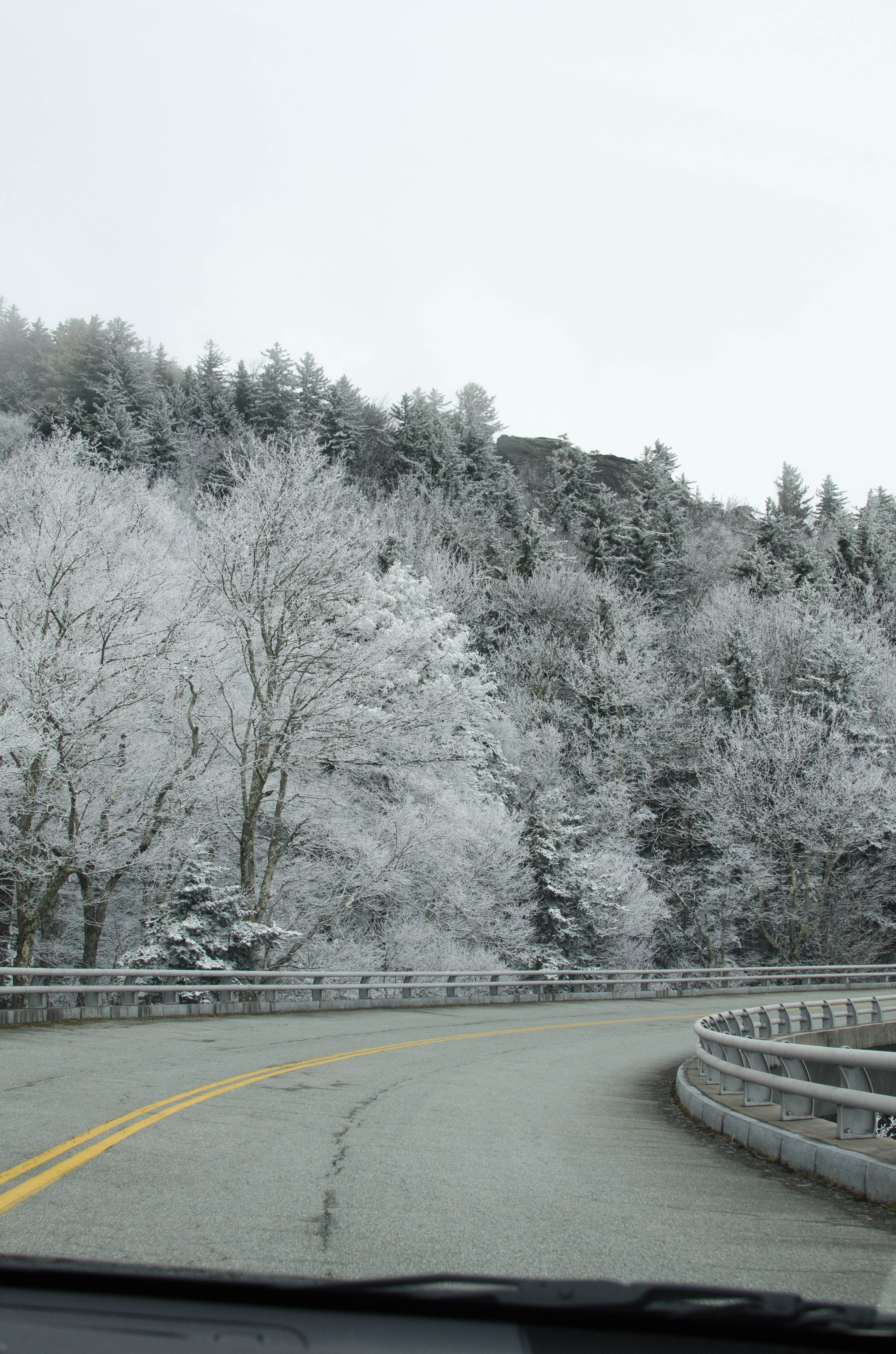
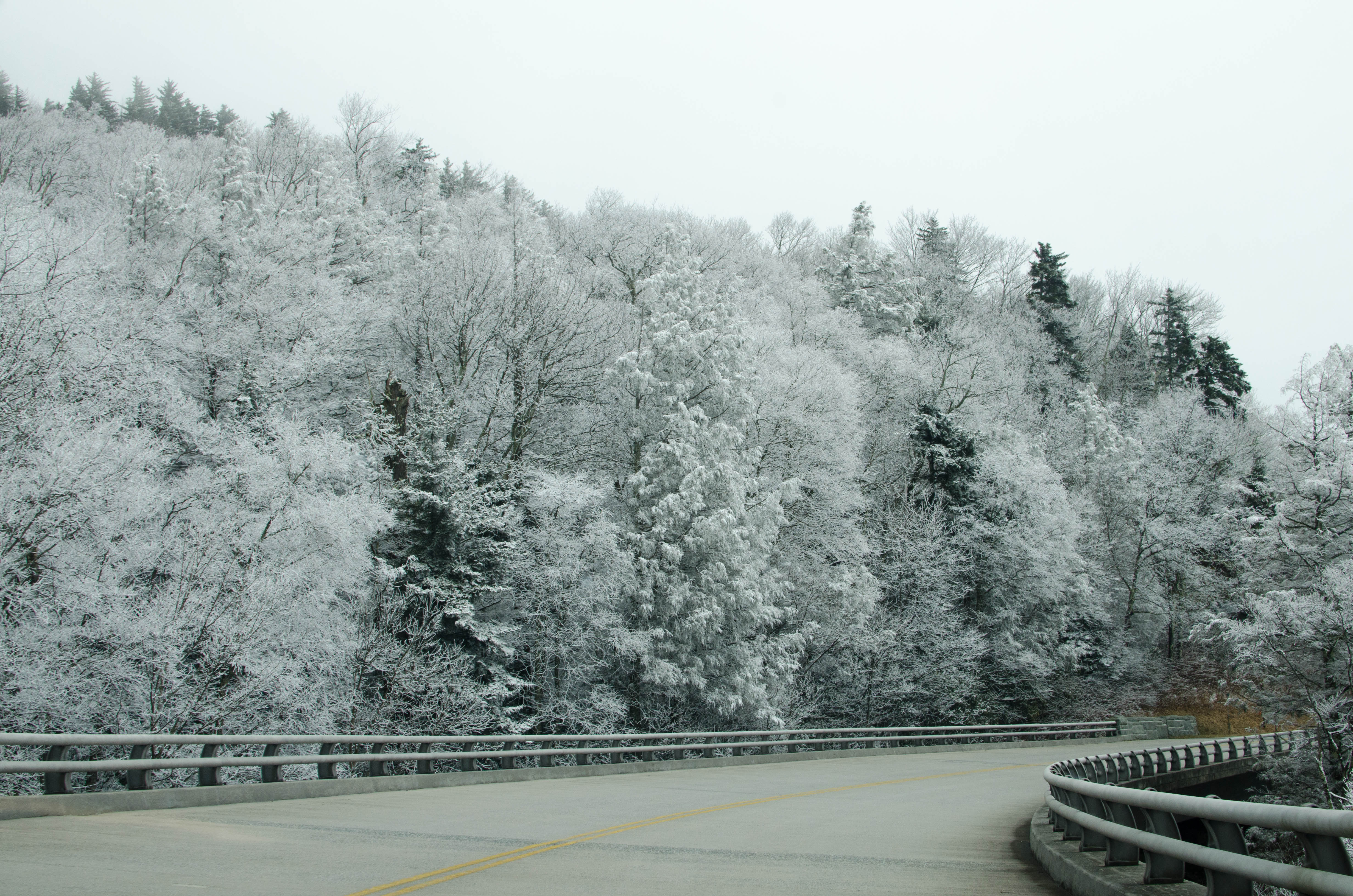
 Viaduct part of the Parkway.")
Note the railing. We're on the (Linn Cove) Viaduct part of
the Parkway.
045-DSC_6649.jpg
bigger version
huge

This was some of the last part of the Parkway to be completed,
like around 1987.
048-DSC_6654.jpg
bigger version
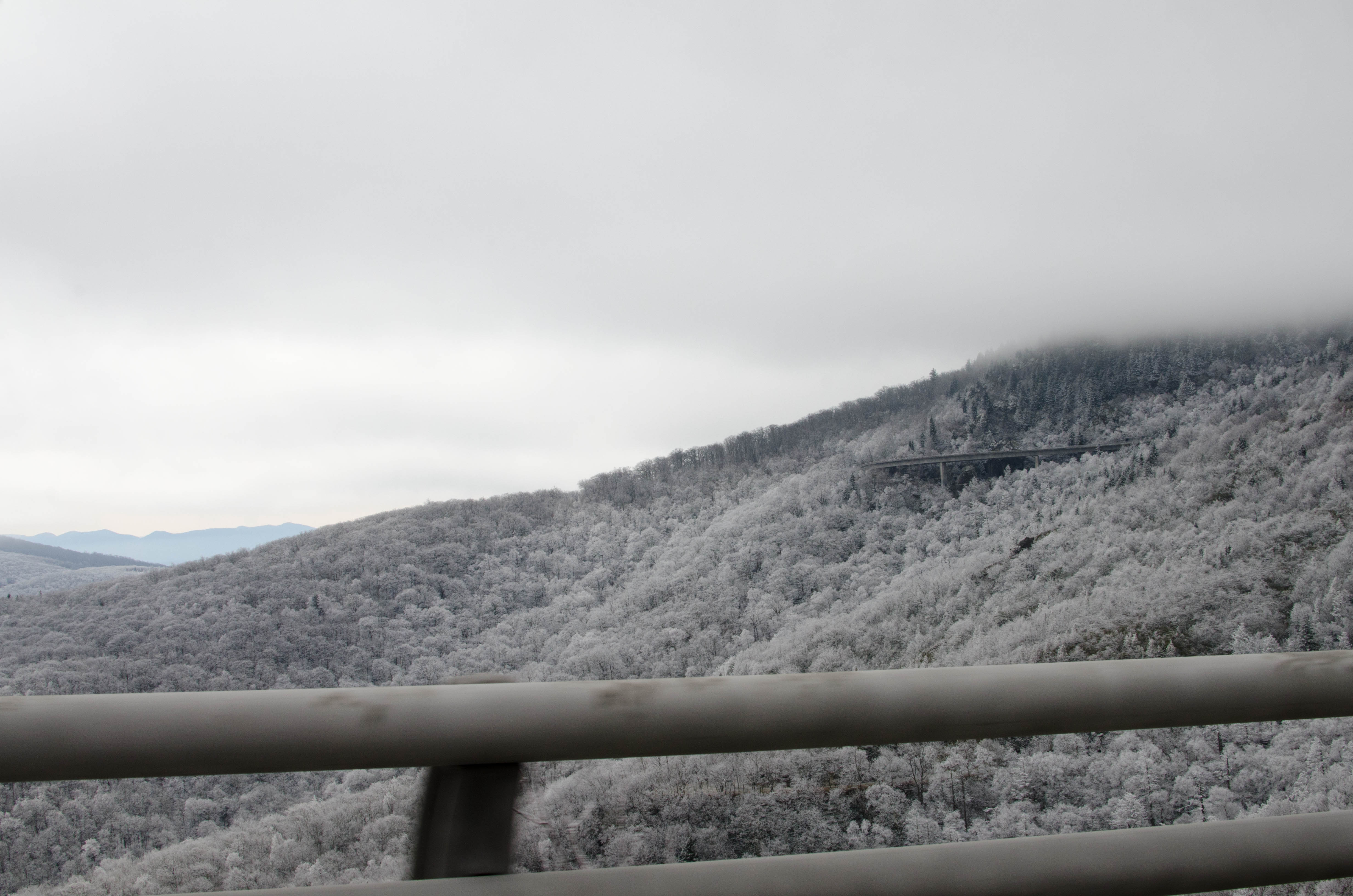
huge

Looking back to the Viaduct where we had just been. It's quite
neat looking.
049-DSC_6657.jpg
bigger version
huge

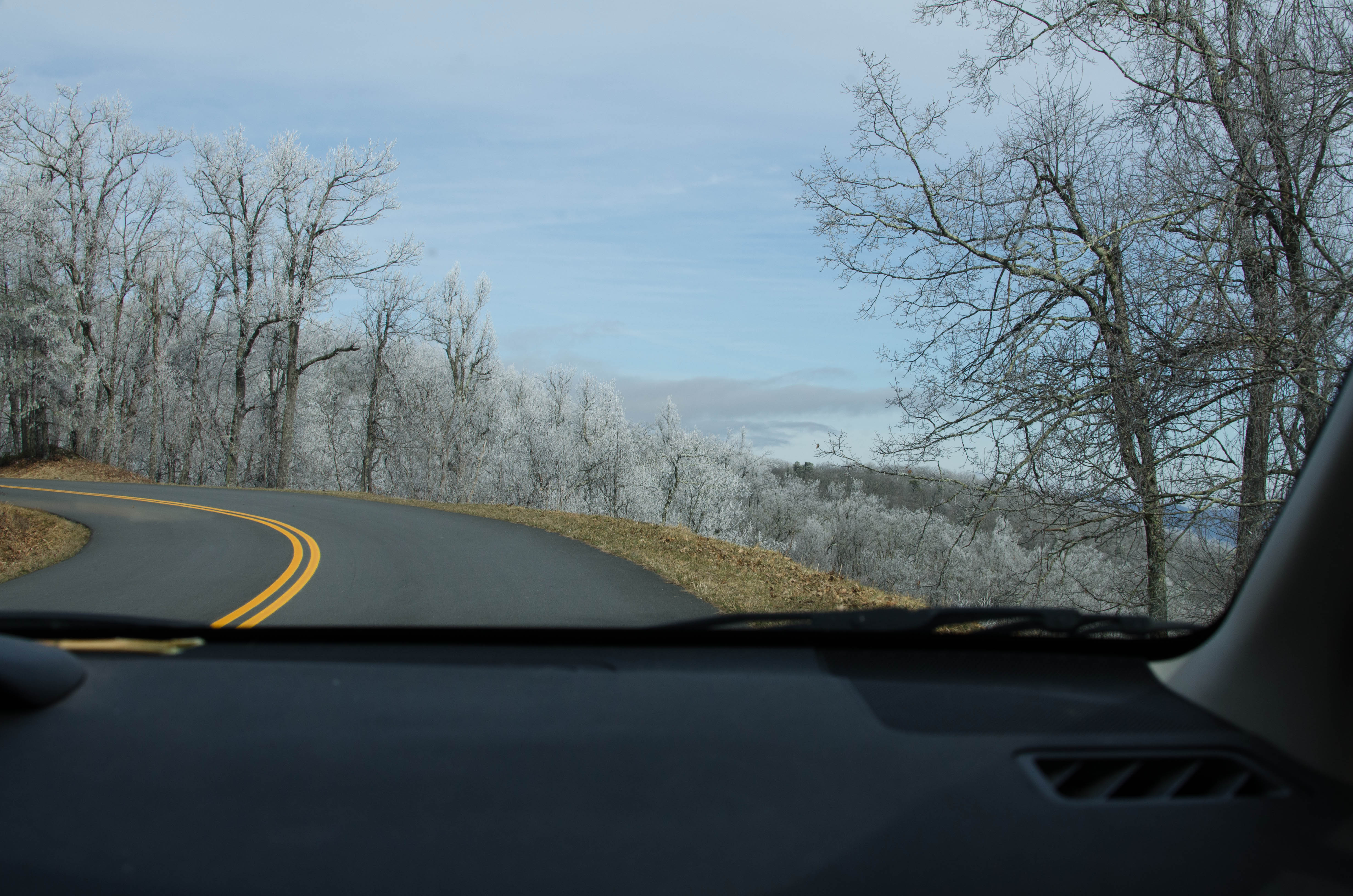
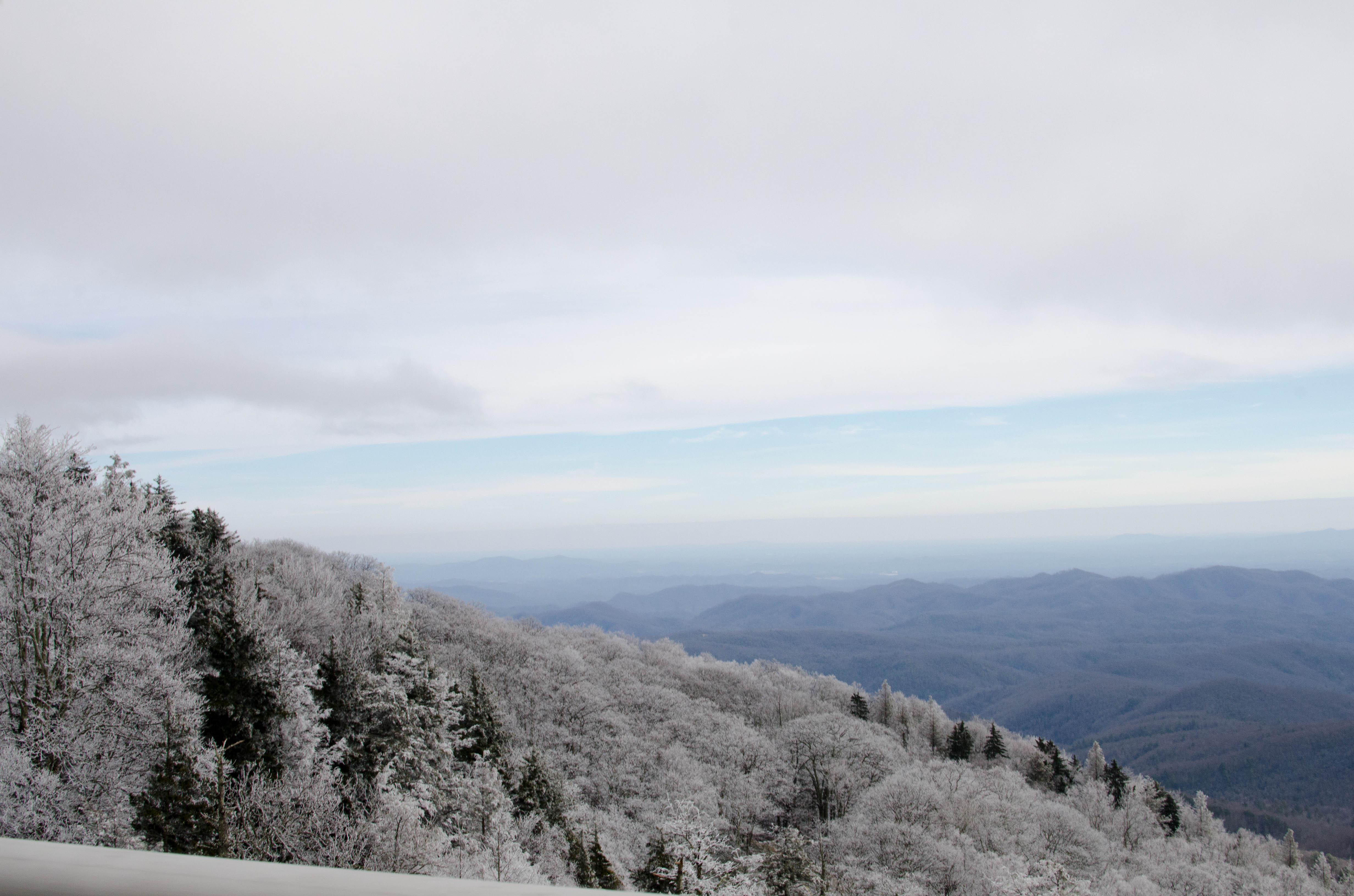
Bits of snow visible on the overlook. There were occasional
patches on the...(more)
051-farm_Panorama.jp...
bigger version
huge

A panoramic shot of farmland and an Alpaca farm just beyond
the Parkway on a...(more)
052-DSC_6659.jpg
bigger version
huge

Why look, it's an Alpaca Farm & Store that we're driving
by. Almost as if...(more)
This page last modified Mar 21, 2014.
Home

feed
![[Title Bar]](/images/header.gif)


.")


