Pacific Northwest Trip: Olympia, WA
Next was our trip south back into the US and down through
all of Washington state on our way to Portland, Oregon. We took a
more scenic route than the straight I-5 route, and stopped a few times
for pictures, before stopping in Olympia, Washington for the night.
We then spent the morning exploring the town then continued onward.
Monday, August 15 - Tuesday, August 16, 2016.
Other pages from the Pacific Northwest trip:
Displaying all 97 pictures
On the Road (and Water) to Olympia
We drove into the US from Vancouver, then
south in I-5, then headed west on Route 20 to Fidalgo Island, then
continued onto Whidbey Island. There we took a a freery from Fort Casey
to Port Townsend back on the Washington mainland. We picked up
Route 101 and headed south (north just loops back near Olympia).
We stopped along the water on 101, near Potlatch State Park
before heading into Olympia for the night.
004-DSC_9291.jpg
bigger version
huge
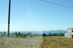
Hey, another F/A-18. Maybe there's a Naval Air Station nearby.
007-DSC_9294.jpg
bigger version
huge
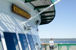
Mowgli on the ferry. This one is way smaller than the one we
took to Vancouver...(more)
013-DSC_9300.jpg
bigger version
huge
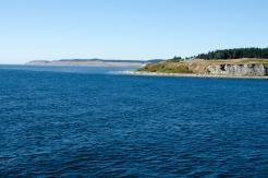
Crossing the ... channel, bay, inlet, er, body of water.
Mt. Walker Viewpoint
Heading south on 101, we saw a sign for a road that
goes up to the top of Mt. Walker that has a nice overlook of Puget Sound.
The road starts at 1100 feet and tops out at 2800 feet. A healthy climb.
We stopped at the north and south viewpoints.
023-DSC_9318.jpg
bigger version
huge
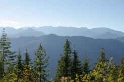
A pretty, non-panoramic view from the north overlook.
024-DSC_9319.jpg
bigger version
huge
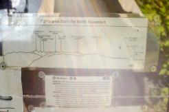
A map of the mountains visible from the north overlook.
026-DSC_9321.jpg
bigger version
huge
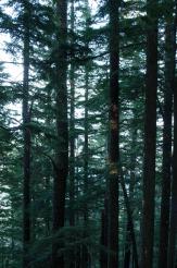
Walking from the north viewpoint to the south viewpoint.
027-DSC_9322.jpg
bigger version
huge
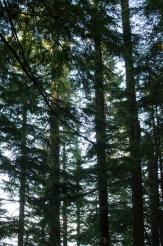
Eventually we turned around and walked back to the car
and drove to the south...(more)
030a-Mt_Walker_S_Pan...
bigger version
huge

A panoramic picture of the south viewpoint.
Mt. Rainier is visible in the big...(more)
Southern Washington State
Continuing to head south down the Olympic
Penninsula, we stopped by the Hamma Hamma River, which empties into
the Hood Canal, maybe an hour north of Olympia (I think it was near
the Potlatch State Park).
031-DSC_9330.jpg
bigger version
huge
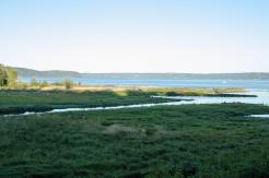
Looking out onto the flat marshy planes of the Hood Canal.
Olympia: The Capital of Washington
Who knew that Olympia was the capital of
Washington state? Clearly, neither Mowgli nor I did. And given how
low-key the town is, it seems likely many more wouldn't know.
The give-away is that they have some impressive capitol and supreme
court buildings. We stopped and checked them out.
045a-WA_capitol_Pano...
bigger version
huge
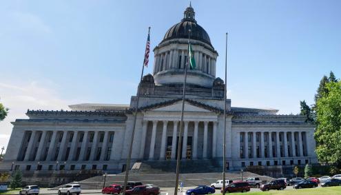
A slightly warped, panoramic picture of
the Washington State Capitol building.
050a-olympia_Panoram...
bigger version
huge

Panoramic shot of the Captiol Lake and the
Budd Inlet from the Capitol area. ...(more)
052a-court1_Panorama...
bigger version
huge

The Temple of Justice
(the Superfriends' backup meeting location).
053-DSC_9370.jpg
bigger version
huge
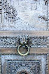
Nice knocker! (On the door of the Temple of Justice.)
054-DSC_9371.jpg
bigger version
huge
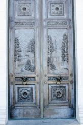
The doors have scenes representing historical development
of Washington State.
056-DSC_9373.jpg
bigger version
huge
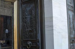
A waterfall and trees, representative of Washington State.
064-DSC_9383.jpg
bigger version
huge
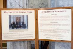
Inside the Temple of Justice (Washington State Supreme Court).
067-DSC_9391.jpg
bigger version
huge
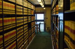
Rows of books on the 2nd floor of the law library. In
the distance the window...(more)
068-DSC_9392.jpg
bigger version
huge
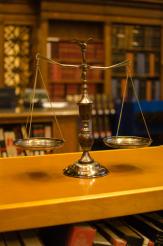
The Scale of Justice! I like this picture. It was sitting
on top of a...(more)
Downtown Olympia
After wandering around the capital area, we
went to the water, the penninsula that opens into Budd Inlet. It has
pretty impressive tidal swings. Actually, we only saw it at low tide,
so I assume the tide actually comes in and fills the bay.
070-DSC_9394.jpg
bigger version
huge
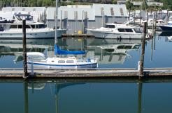
Notice how high up the barnacles are on the pilings by the dock.
Very low tide.
072-DSC_9396.jpg
bigger version
huge
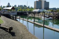
Another view looking south, showing how low the water level is.
073-DSC_9397.jpg
bigger version
huge
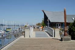
Looking north along the boardwalk (with a scuplture on the
right).
076-DSC_9400.jpg
bigger version
huge
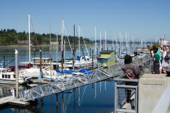
A row of boats at the dock (and someone smoking a very
small cigarette).
084-DSC_9410.jpg
bigger version
huge
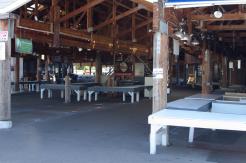
Olympia has a nice Farmer's Market...I think. It was closed
and empty.
086a-low_tide_Panora...
bigger version
huge

A panoramic shot of the inlet at low tide.
Normally this is a mini-bay filled...(more)
Maybe Vader Someday Later
A few fun pictures passing by the exits for Vadar.
Perhaps he was off-planet hunting down Jedi.
087-DSC_9418.jpg
bigger version
huge
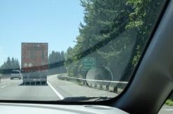
Vader Rd. Maybe this is Darth County. Actually, the
town is called Vader too.
089-DSC_9420.jpg
bigger version
huge
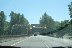
A bridge over the Cowlitz River. I think I found the name to be
funny.
090-DSC_9421.jpg
bigger version
huge
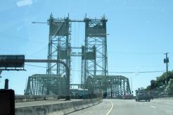
Just a fancy, old-school drawbridge we were about to cross.
This page last modified Sep 20, 2016.
Home

feed