Pacific Northwest Trip: Tillamook, OR
We took an excursion to the Tillamook, OR area. We wanted
to go to the Pacific Ocean, and went to the Netarts Bay, then Siuslaw
National Forest, and the appropriately named Sand Lake Recreation Area.
Our other goal was to visit the Air Museum in the huge blimp hangar
by Tillamook NAS.
August 18, 2016
Other pages from the Pacific Northwest trip:
Displaying all 123 pictures
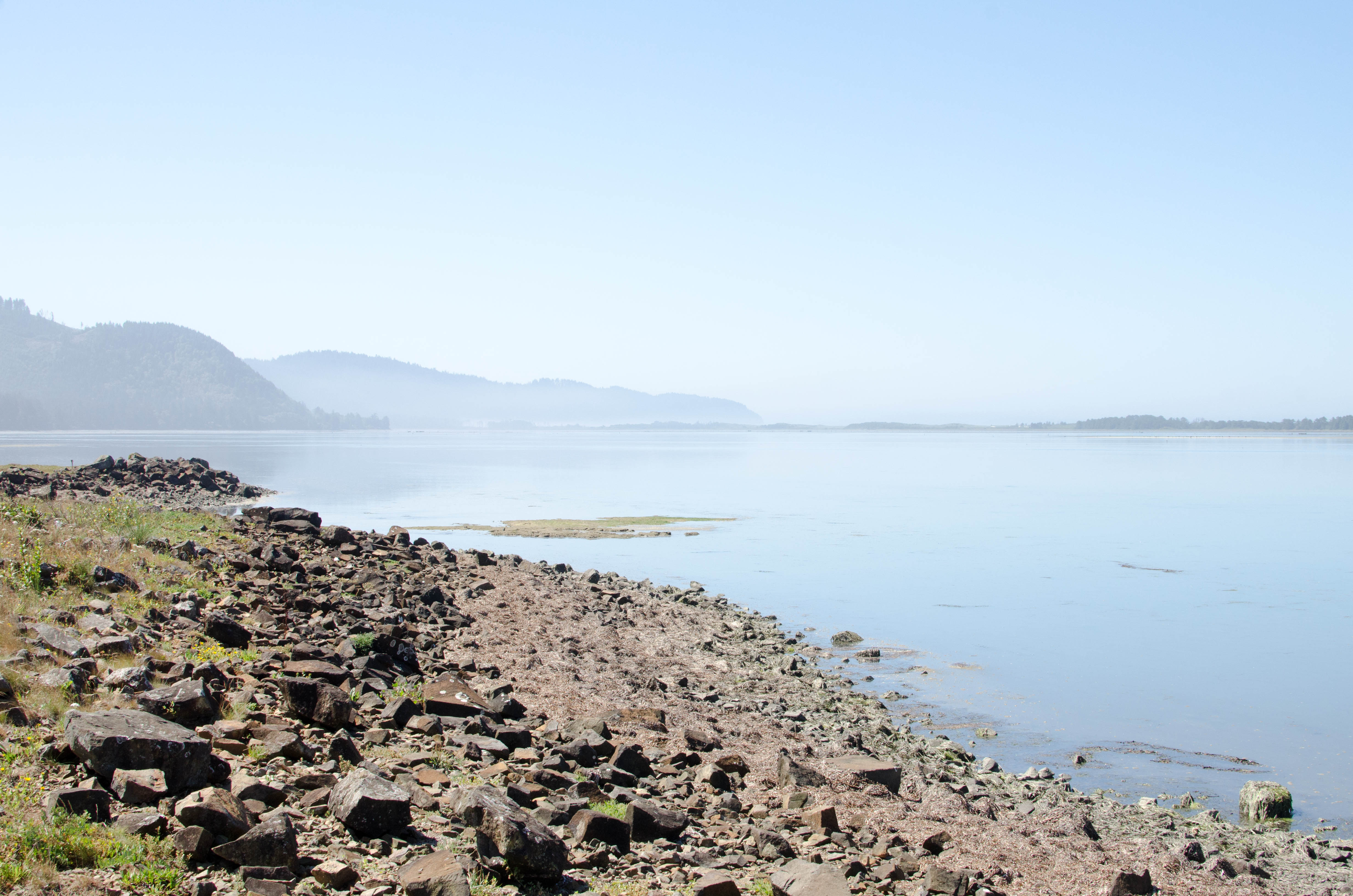
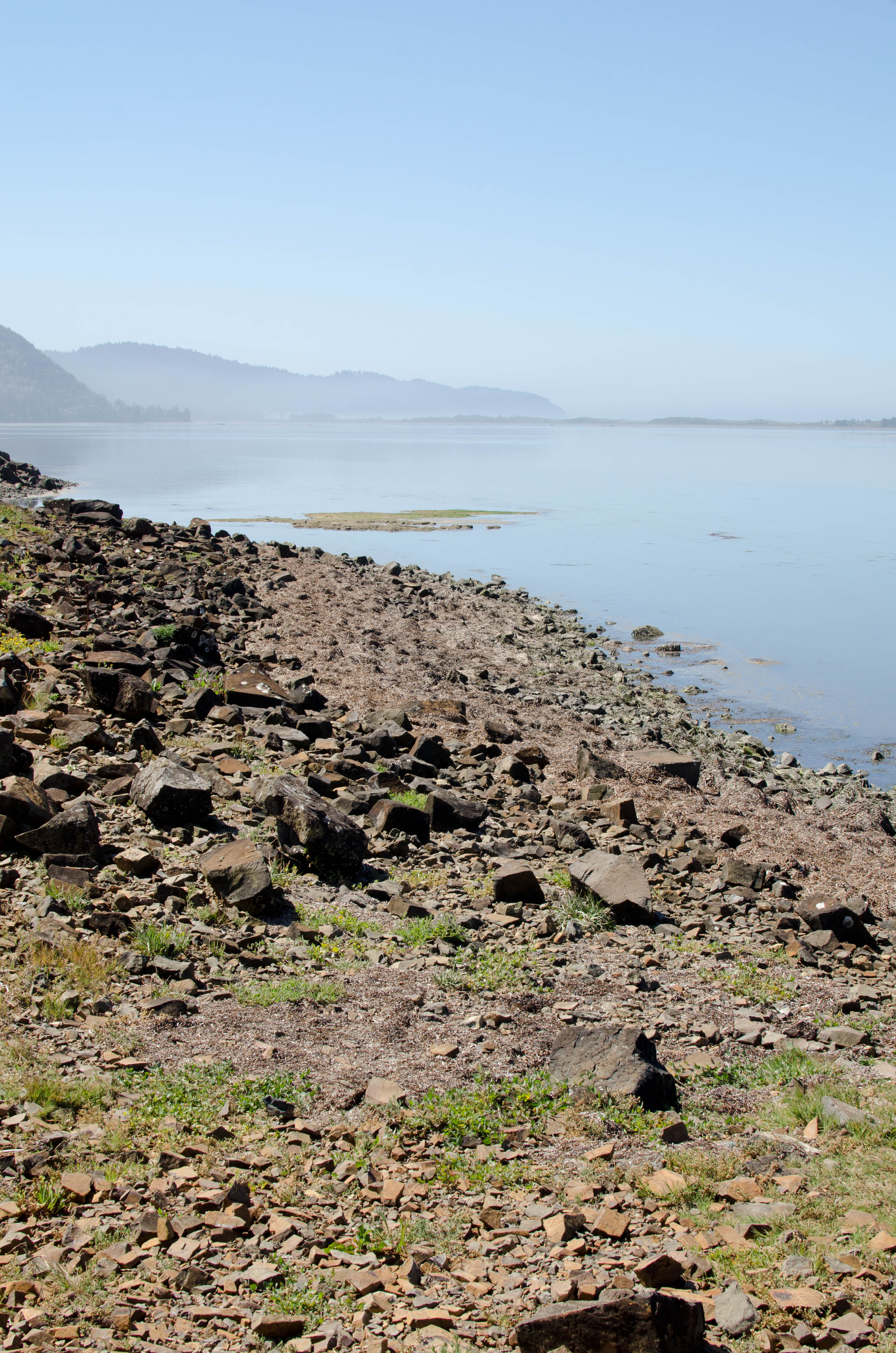
Three Capes Scenic Route by the Netarts Bay
We drove from Portland, OR, along Route 26
to Route 6 through the Tillamook State Forest, till we got to Tillamook
which is at the intersection of 6 and route 101 (the route 101).
We did not do any cheese-related activities, but instead continued on
Route 131 towards the ocean and stopped to take some pictures. I
had no idea why it was called Netarts. According to unverified sources:
In the Native American language
of the local Killamook tribe, “Ne ta at”, meant “near the water.”
Later, modernized spelling became Netarts.
(http://visittheoregoncoast.com/cities/netarts/)
So there.
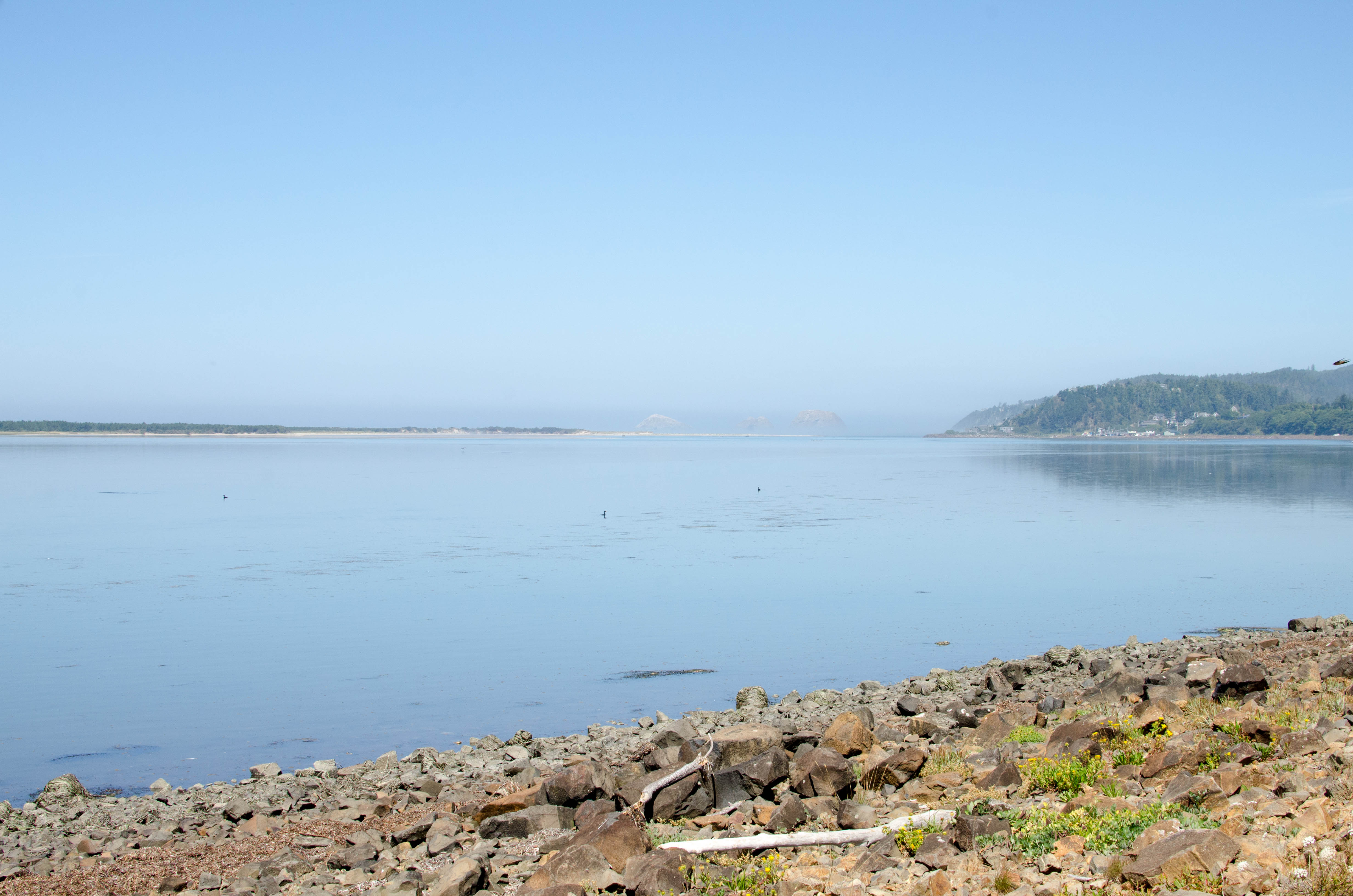
009-DSC_9519.jpg
bigger version
huge

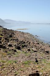
Netarts Bay and the ocean waves from an overlook at Gammon
Launch.
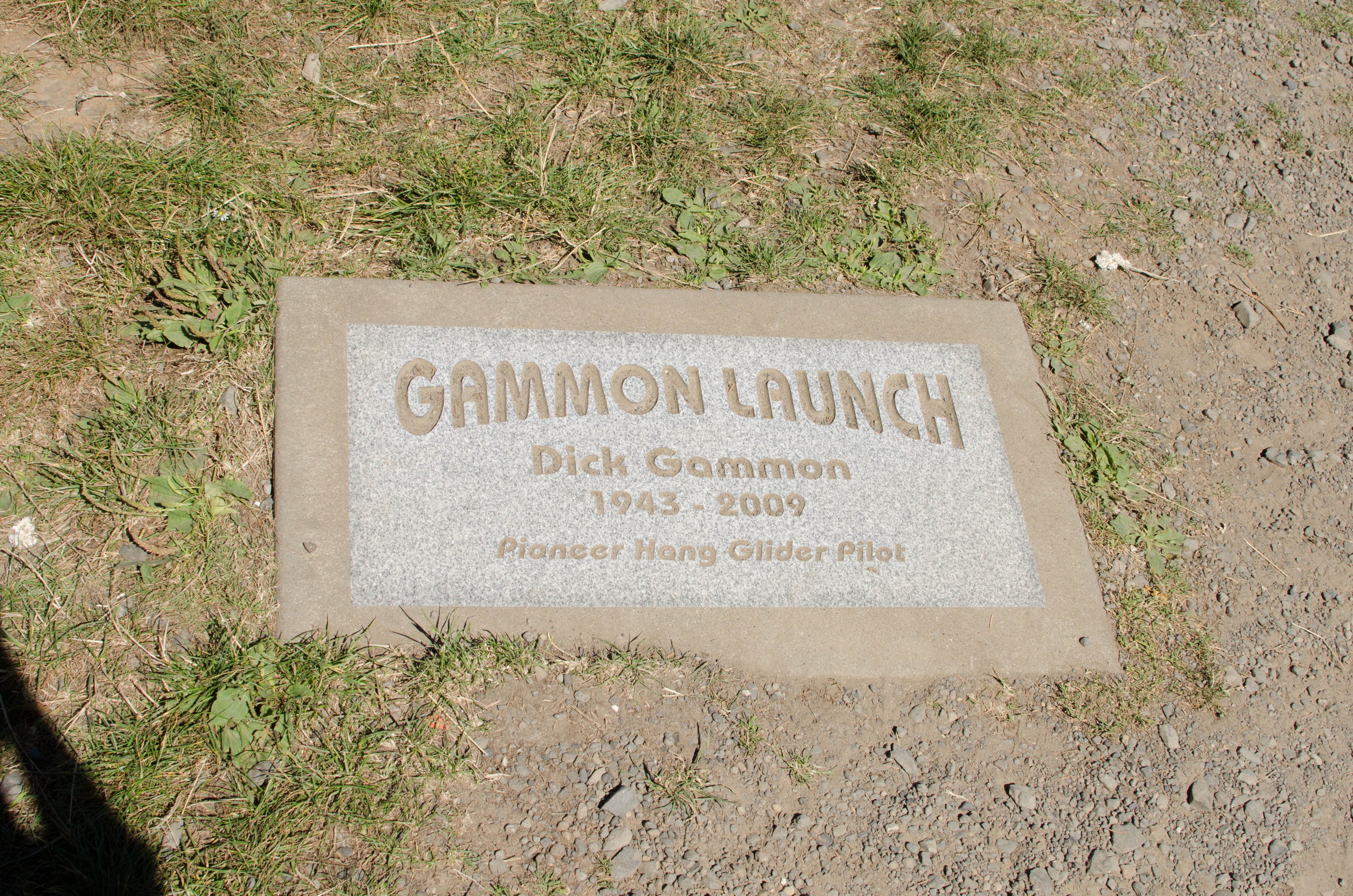
012-DSC_9522.jpg
bigger version
huge
.")
Gammon Launch plaque (it was where someone used to
launch their hang glider).
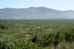
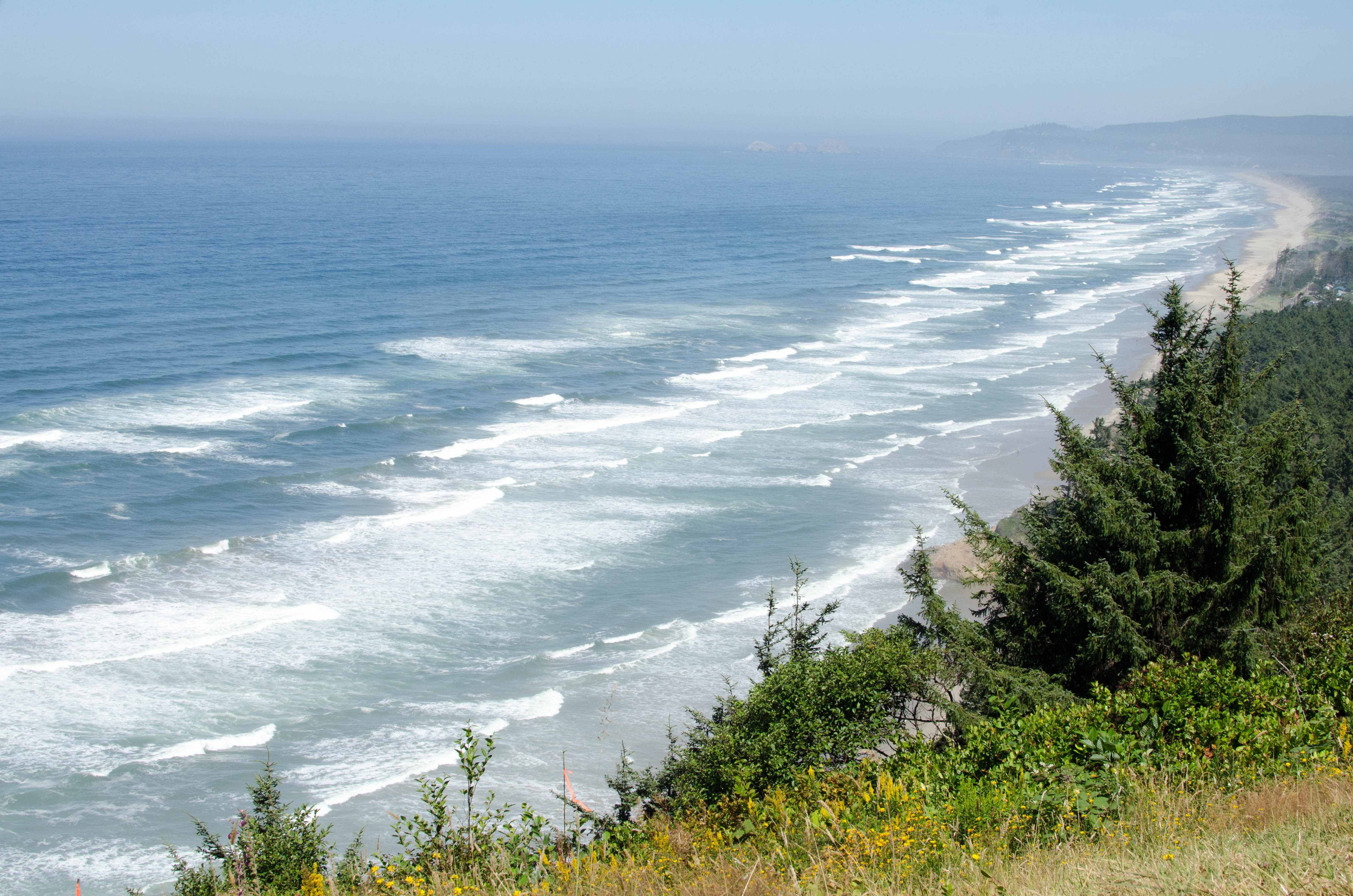
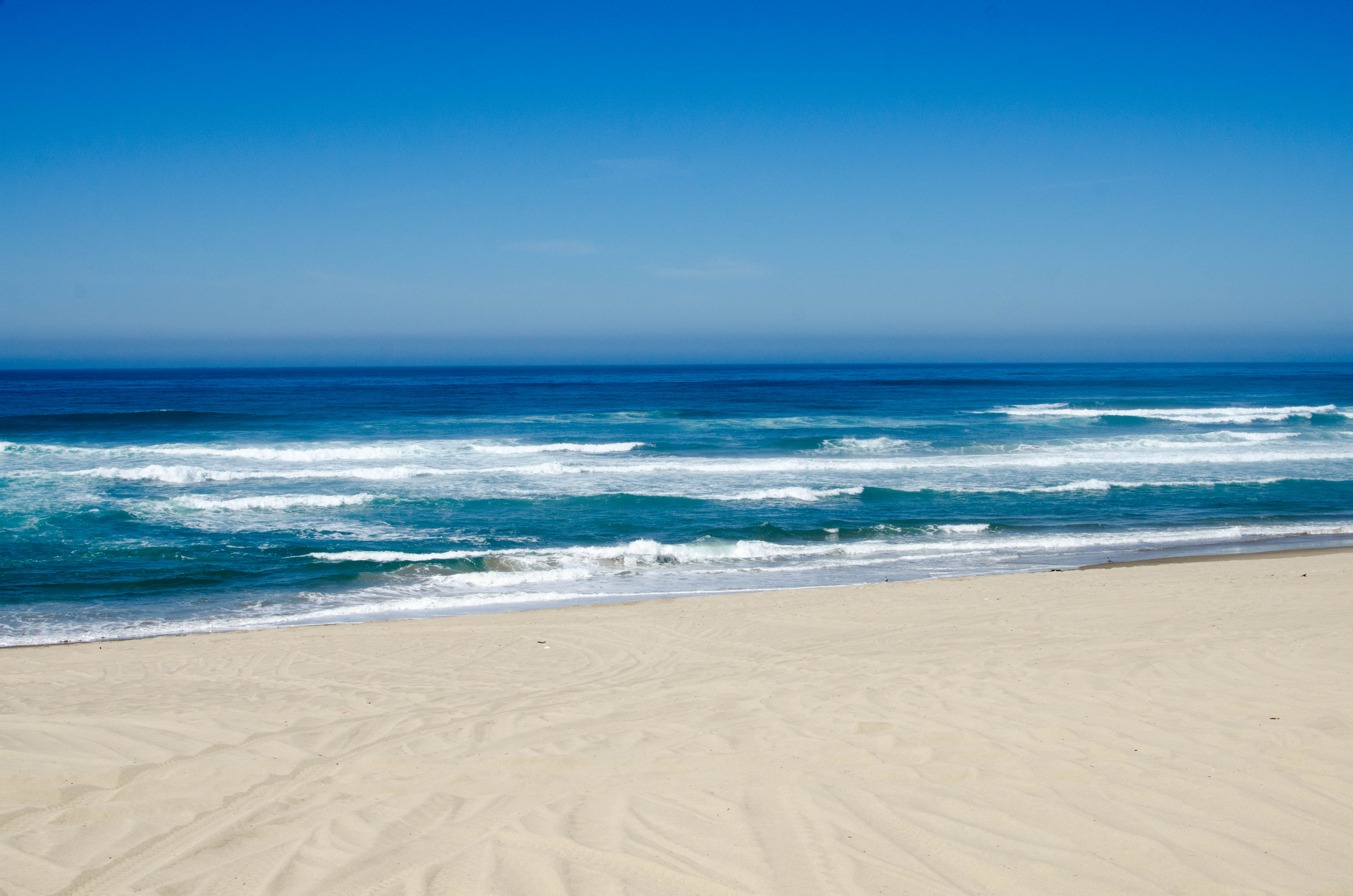
Siuslaw National Forest
The Siuslaw National Forest runs from just
south of Tillamook to south of Eughene, is bordered on the east by
the Willamette Valley and the west by the Pacific Ocean and has
ecosystems which range from coastal forest to sand dunes (and ocean).
We stopped by the ocean side.
014b-beach2_Panorama...
bigger version
huge
.")
This continues from the left border of the previous
picture (photoshop refused...(more)
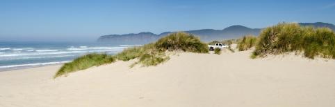
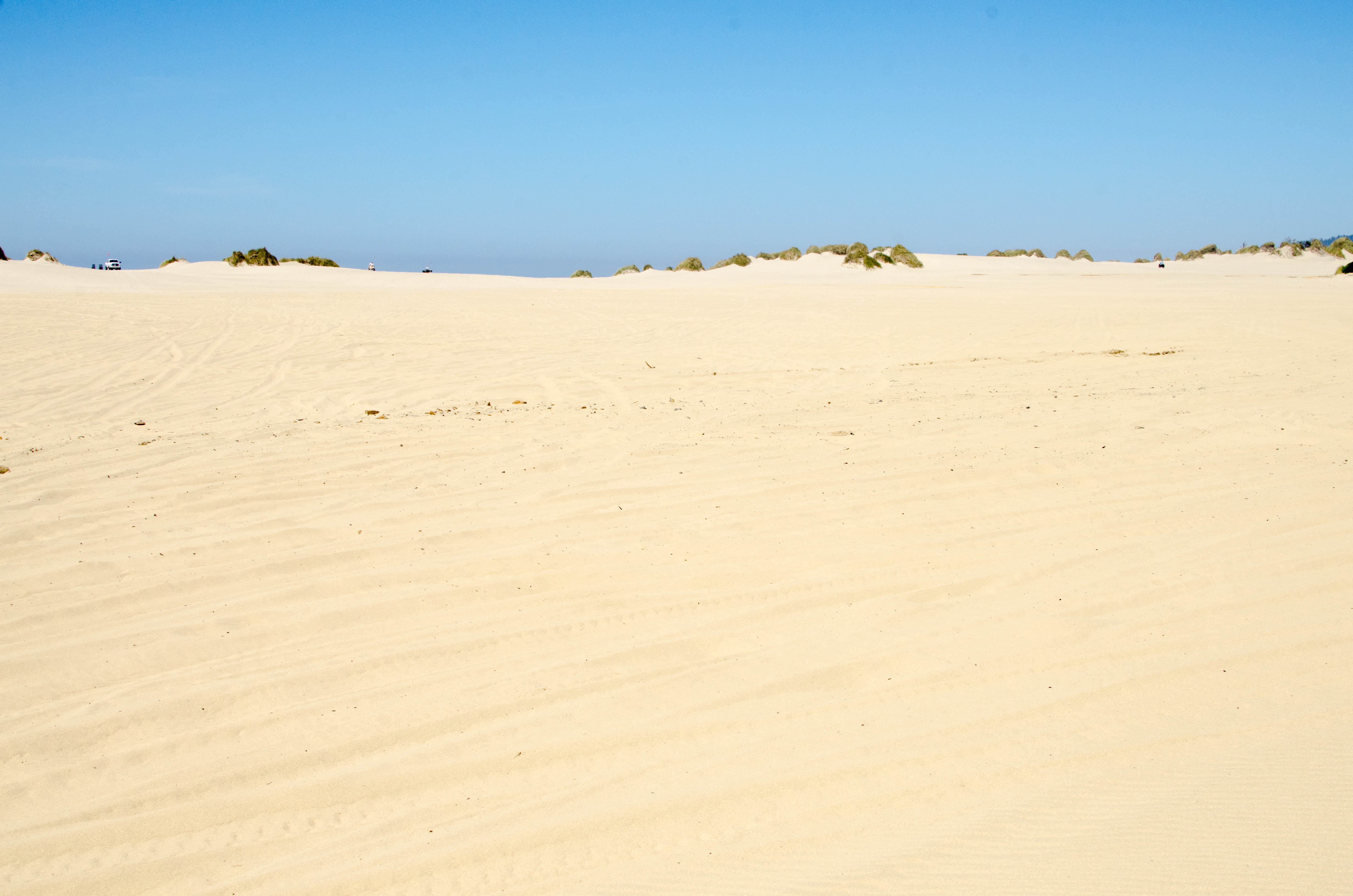
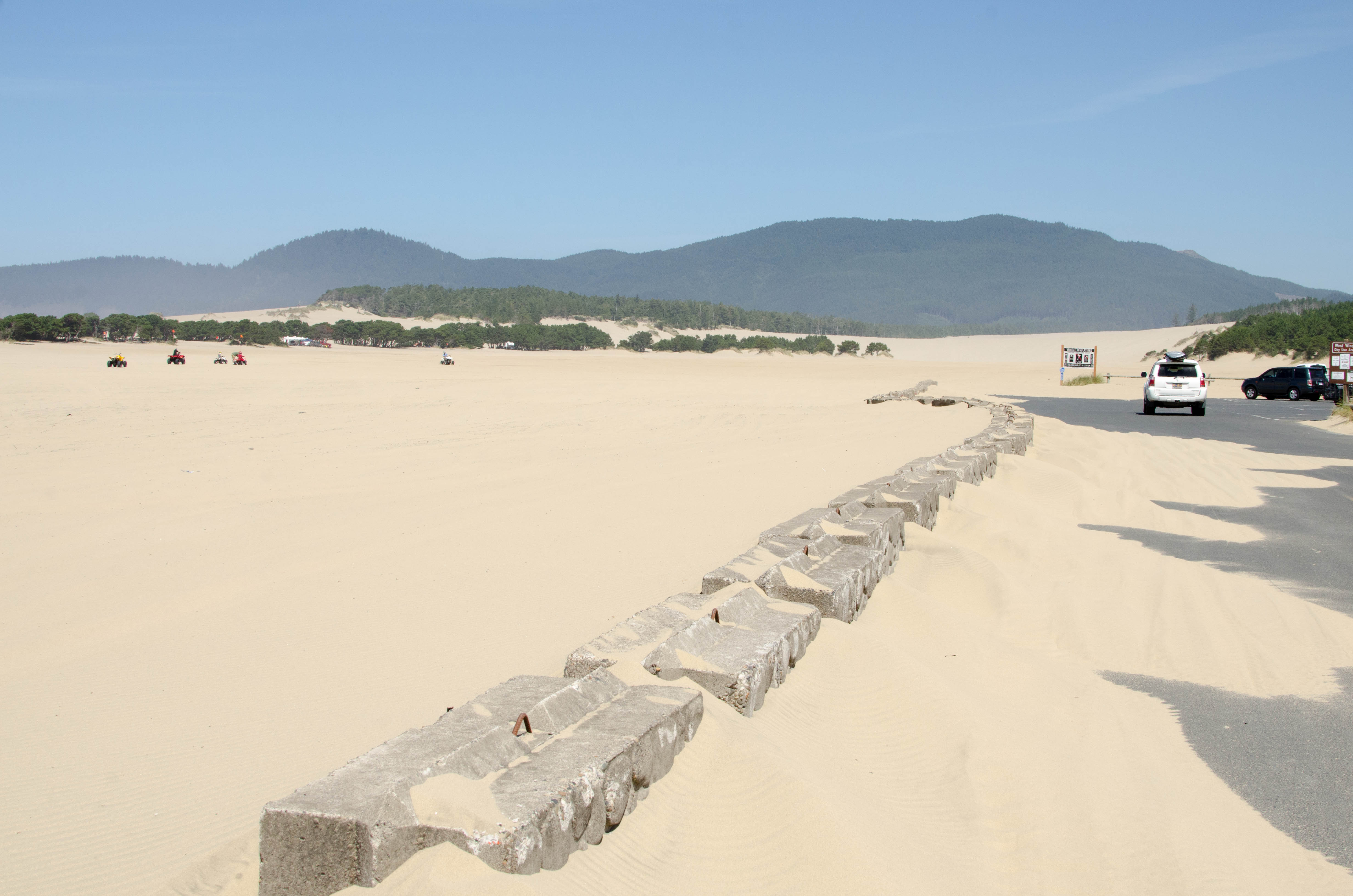
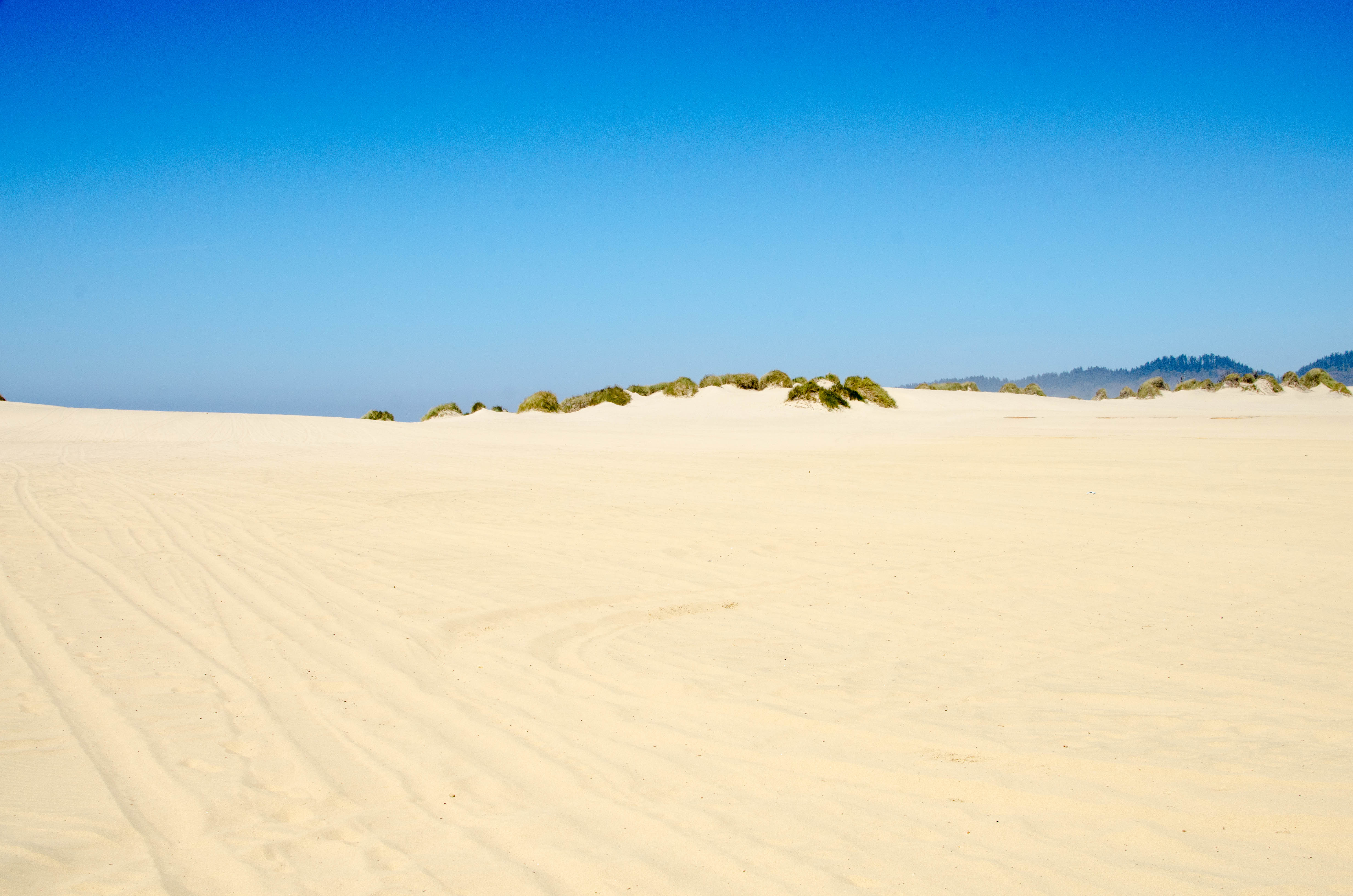
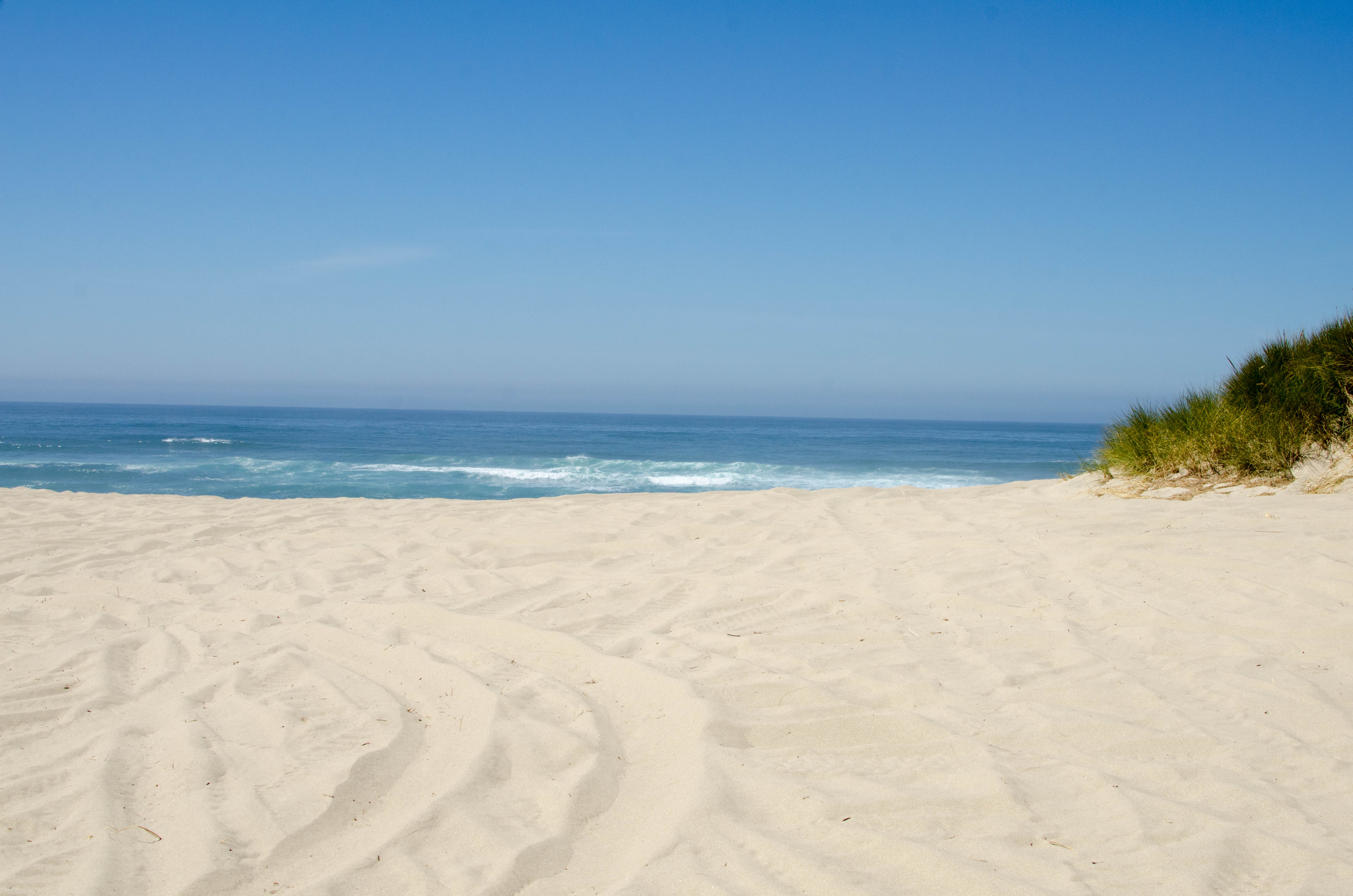
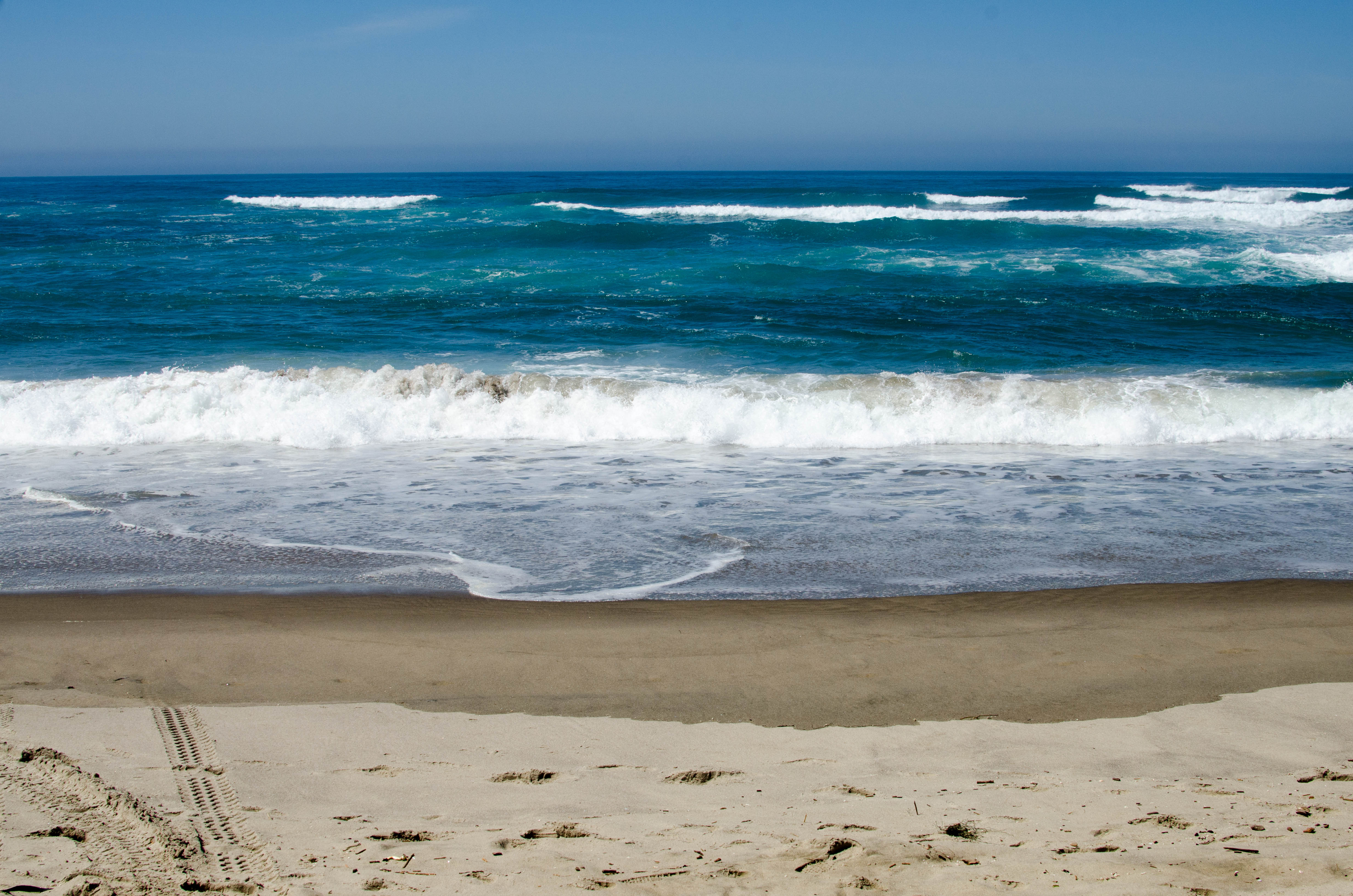
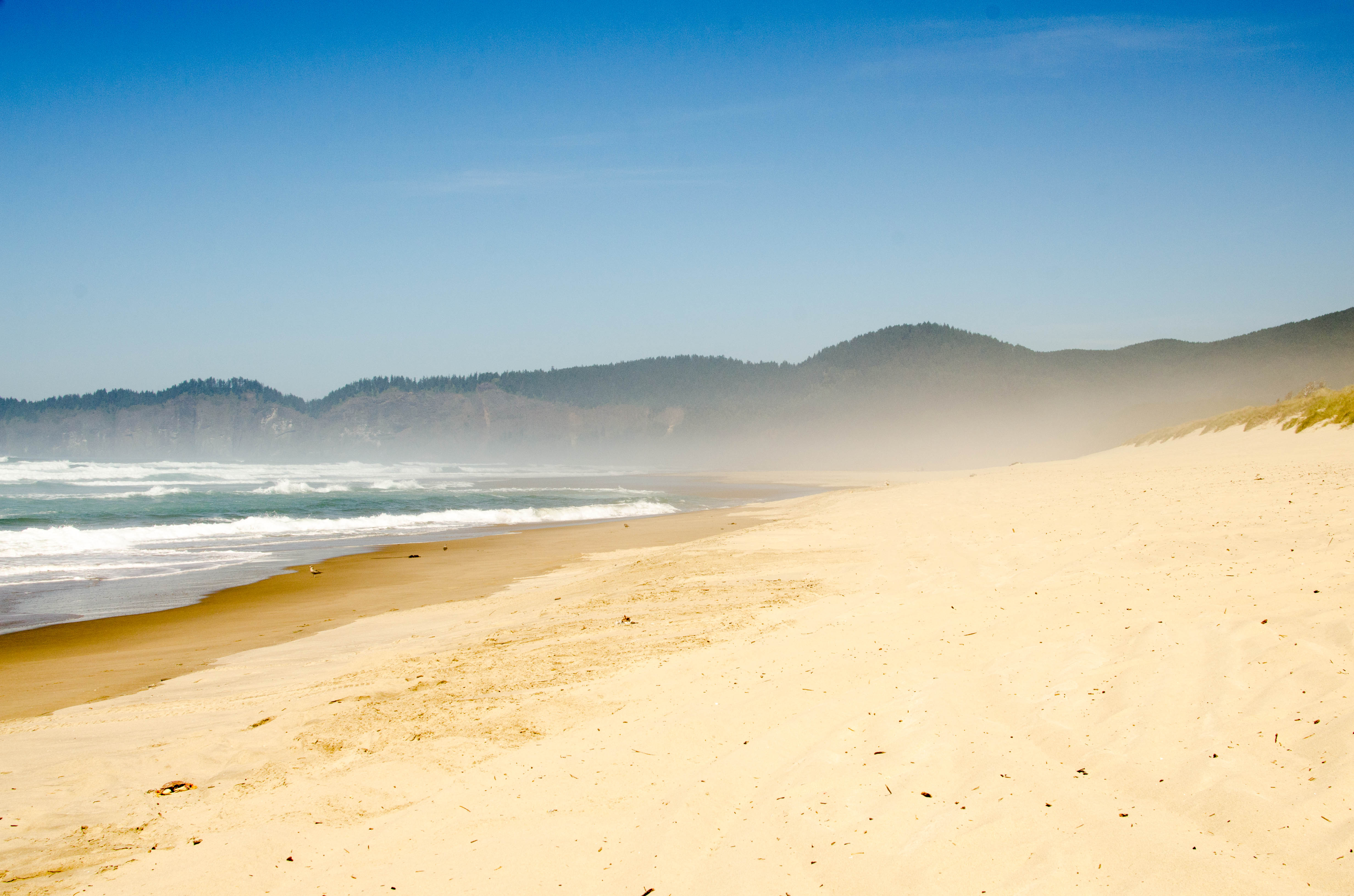
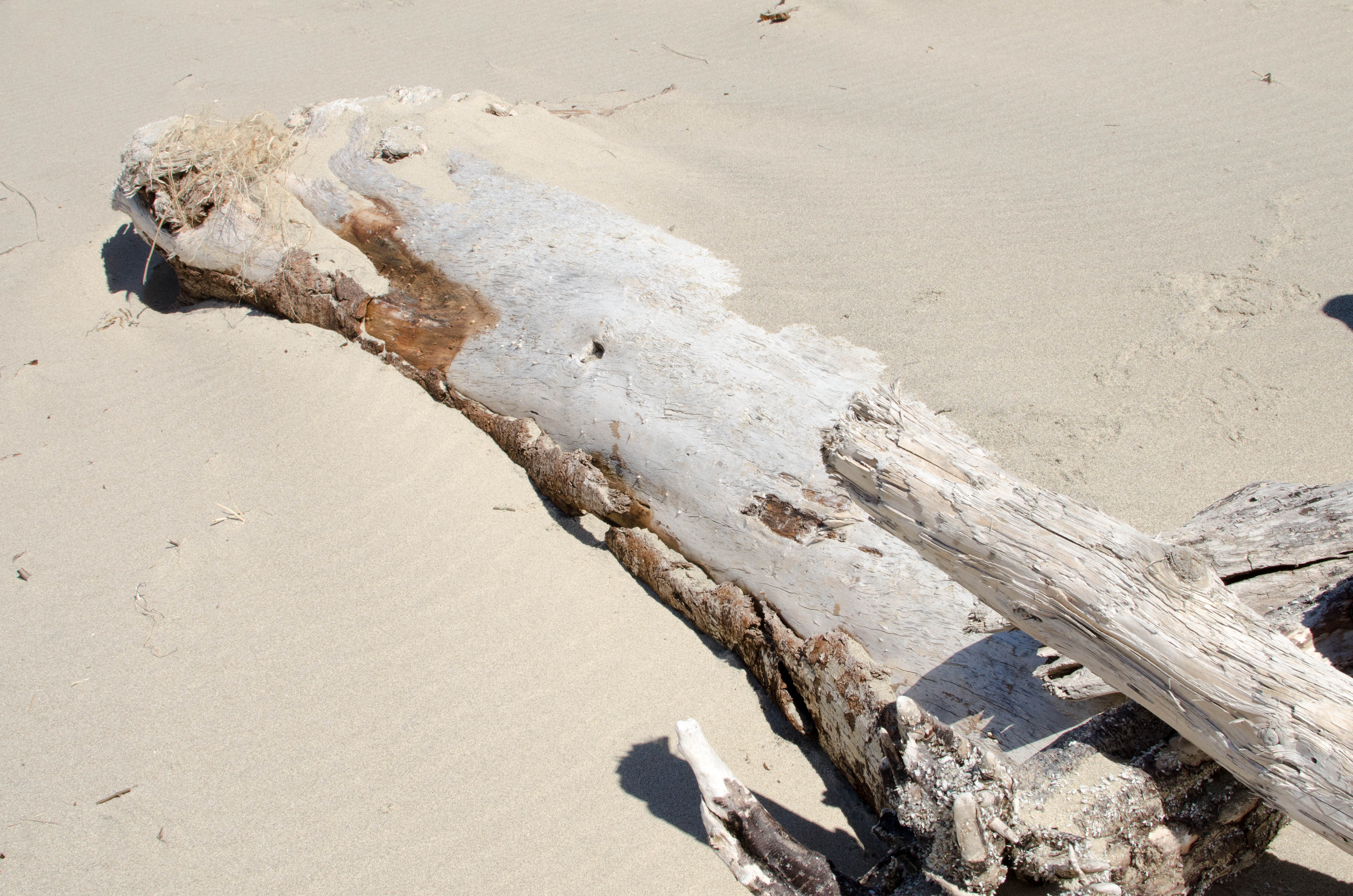
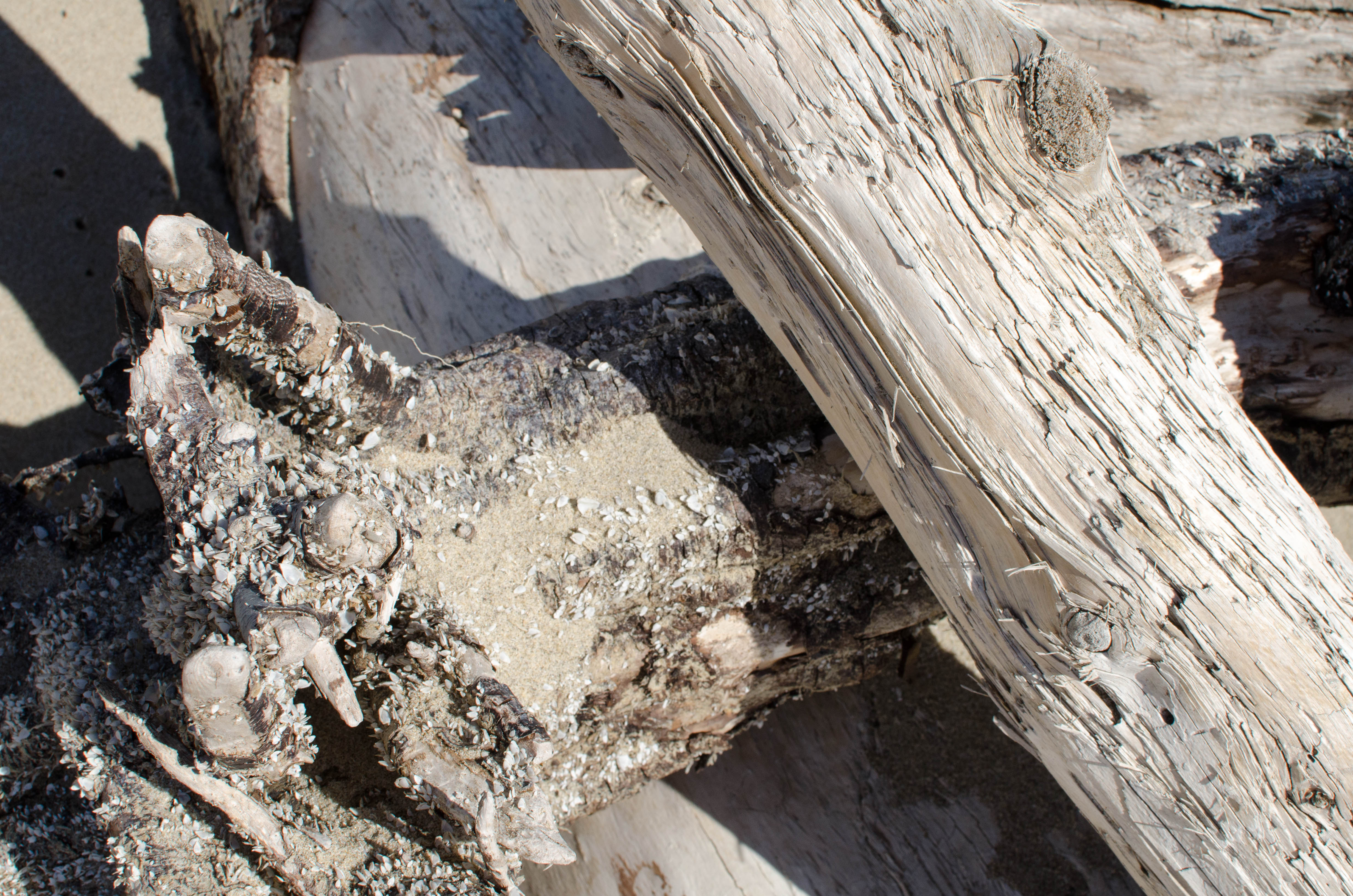
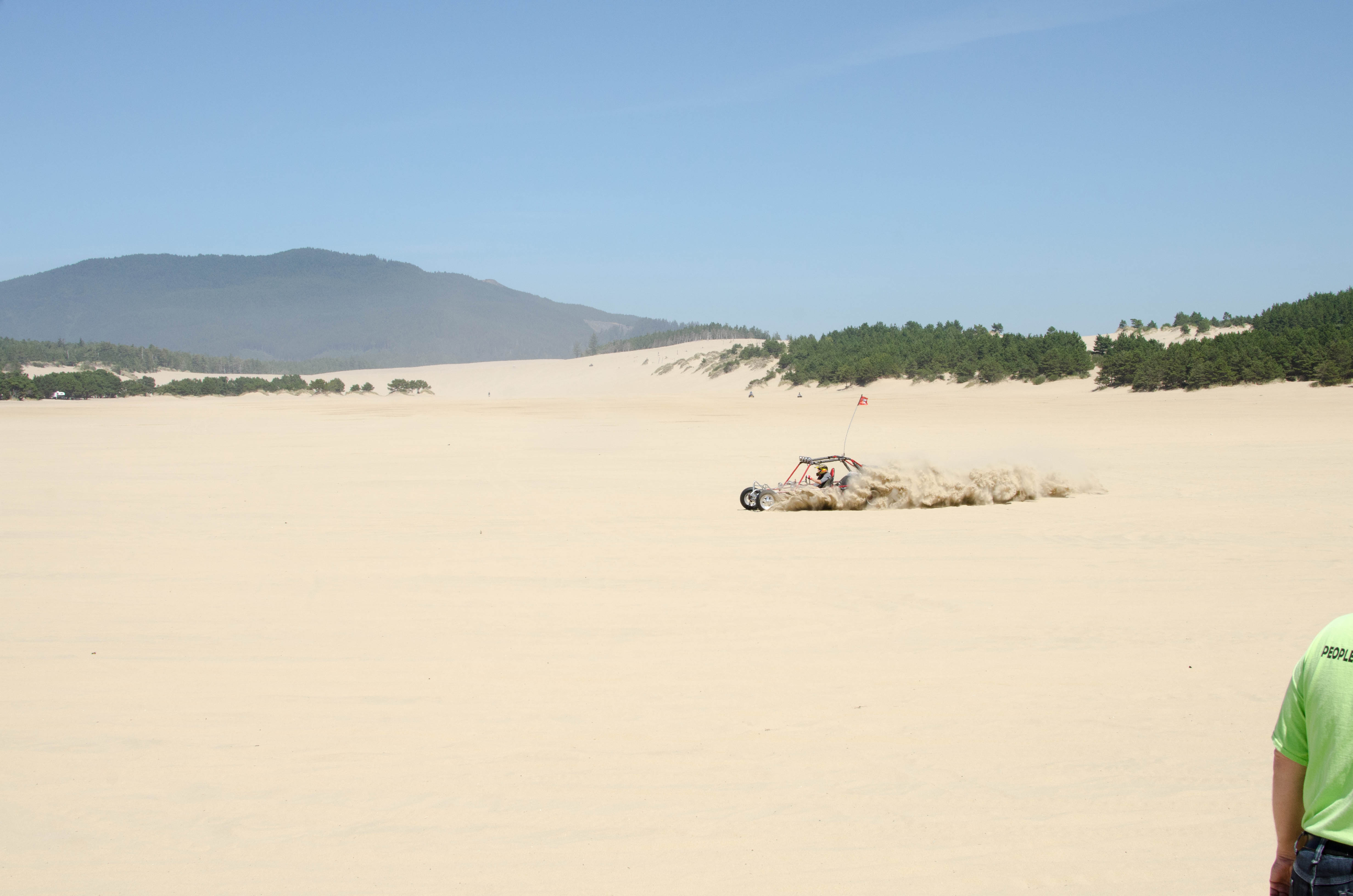
Sand Lake Recreation Area
Sand Lake Recreation Area is a part of the
Siuslaw National Forest and it's pretty much what is advertised.
It's a LOT of sand. Over 1000 acres that stretches 3.5 miles.
People drive various sand-oriented vehicles on it. It meets the
ocean. It's a cool, otherworldly place.
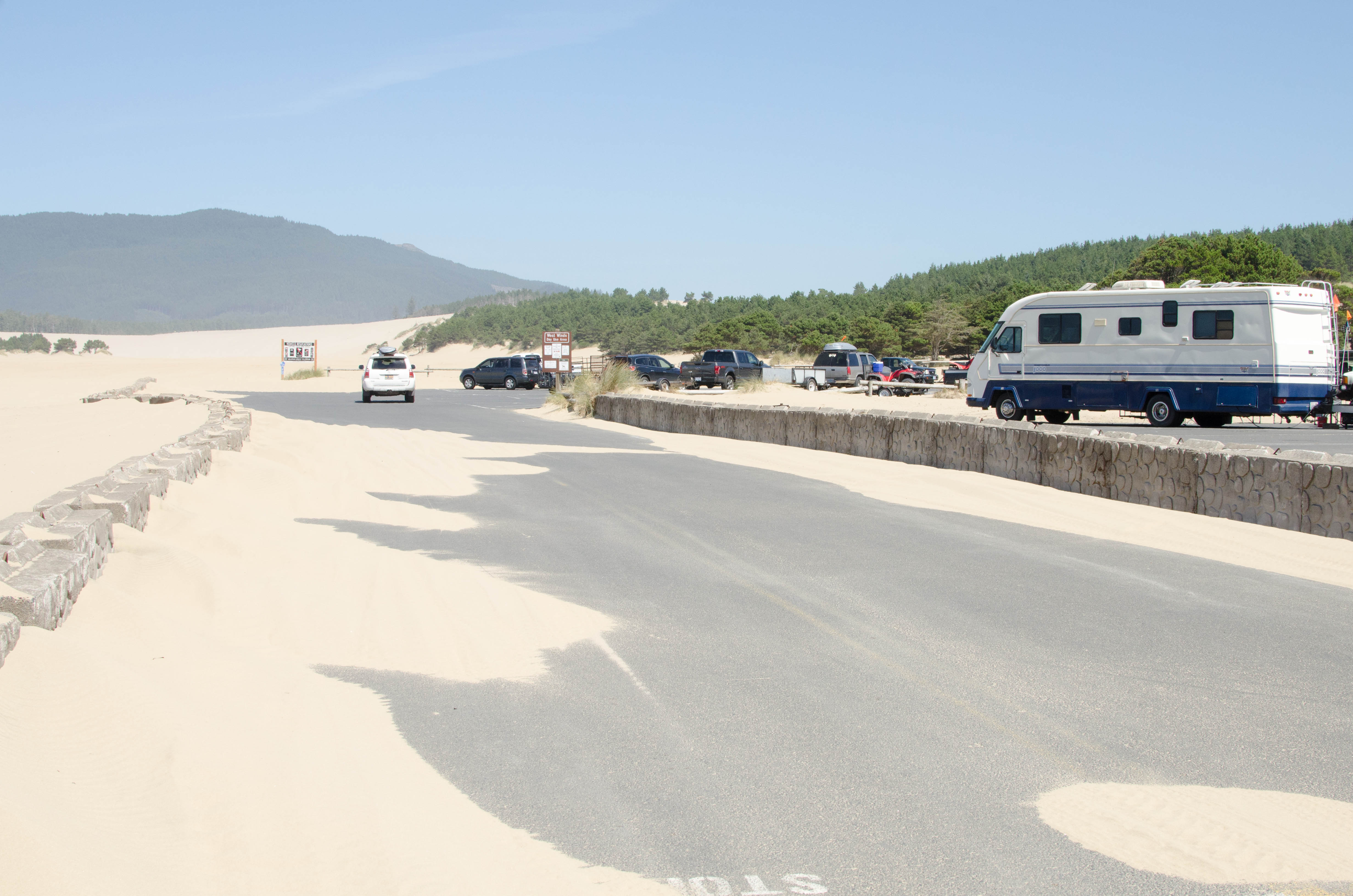
019-DSC_9535.jpg
bigger version
huge

This is the edge of the parking lot, where sand soemtimes
drives over the...(more)
021-DSC_9537.jpg
bigger version
huge

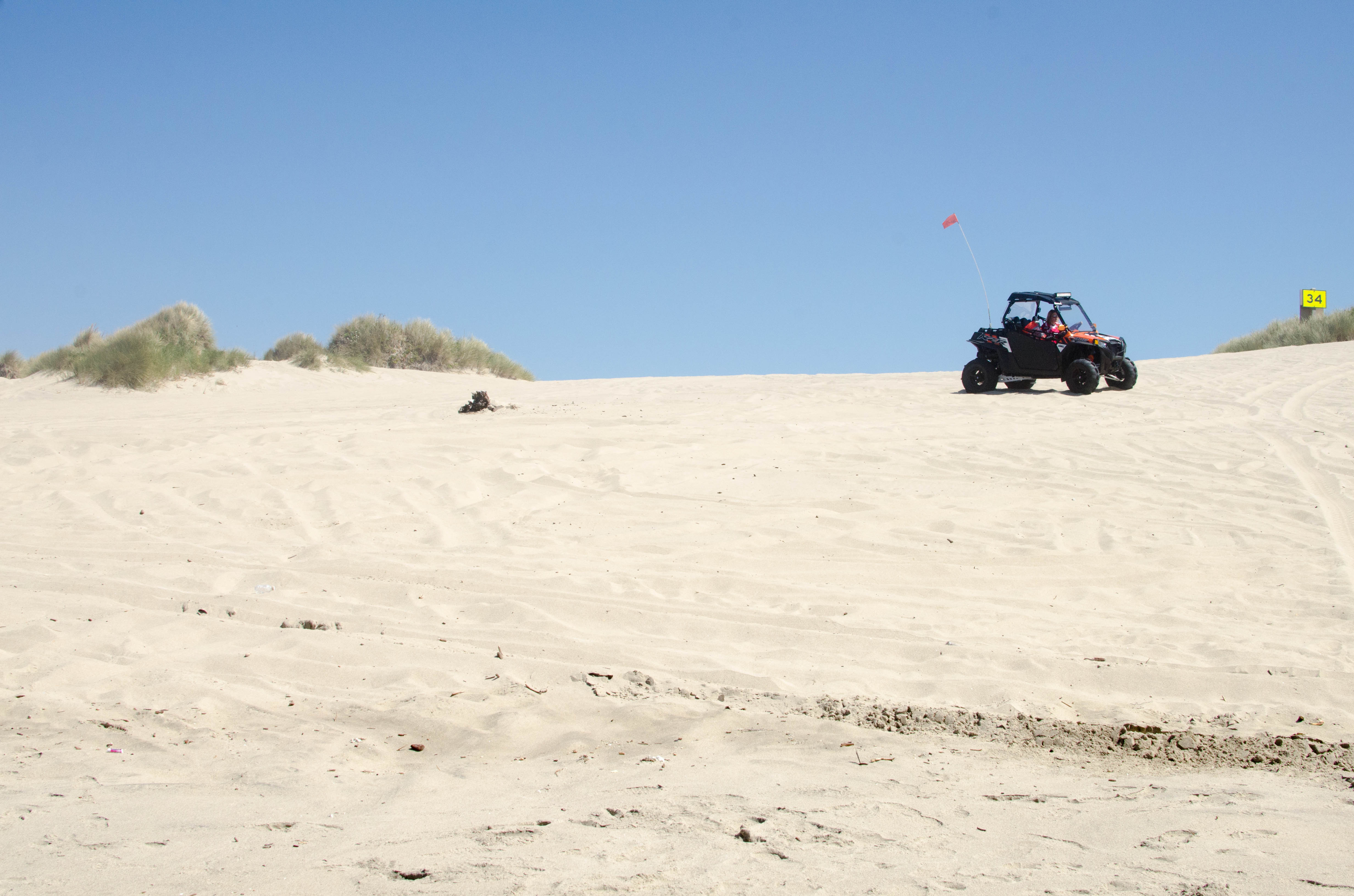
People drive 4-wheel drive sand buggies all over the place.
024-DSC_9541.jpg
bigger version
huge

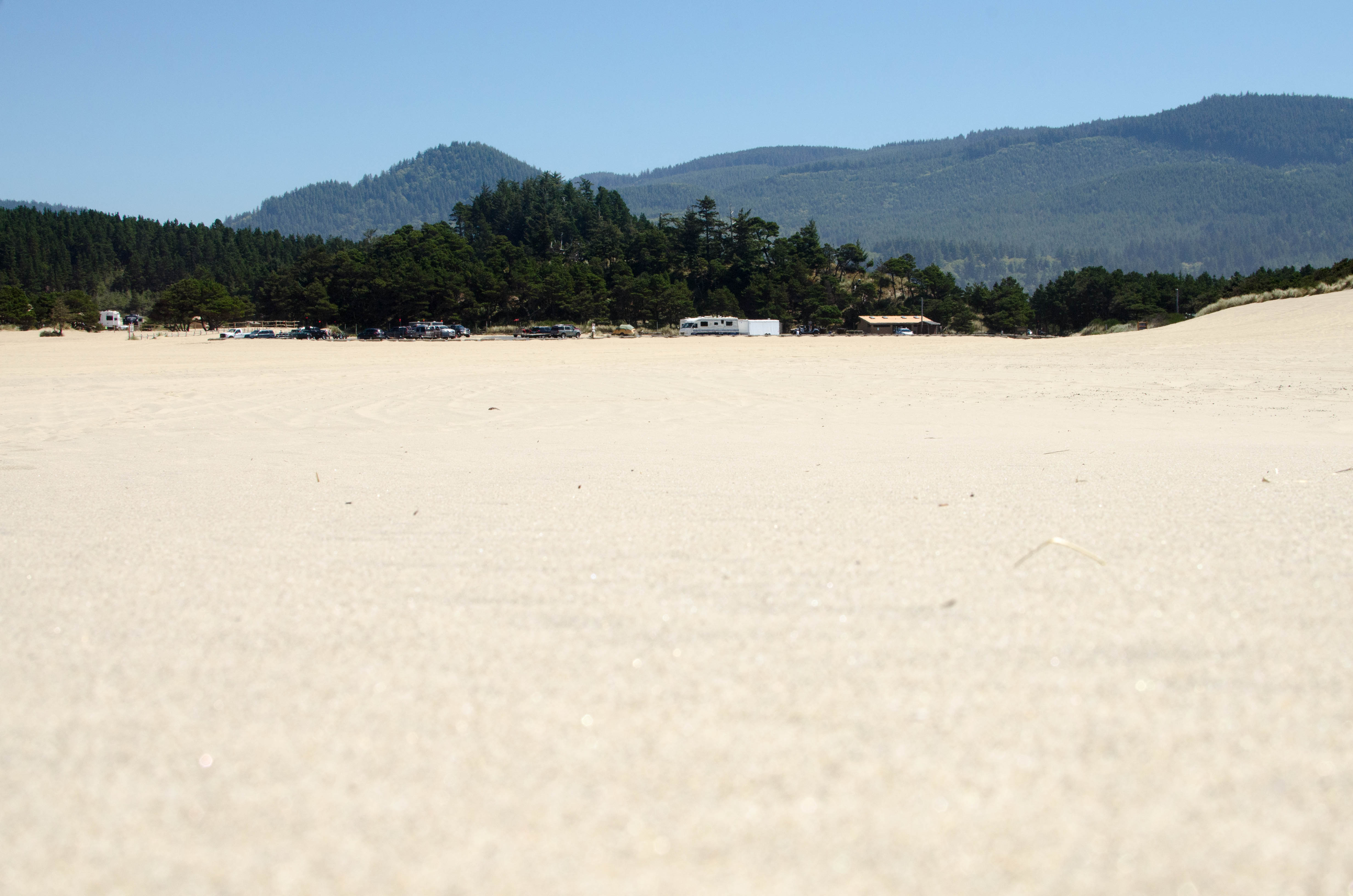
Looking back out across the "lake" back to the
parking lot.
025-DSC_9542.jpg
bigger version
huge

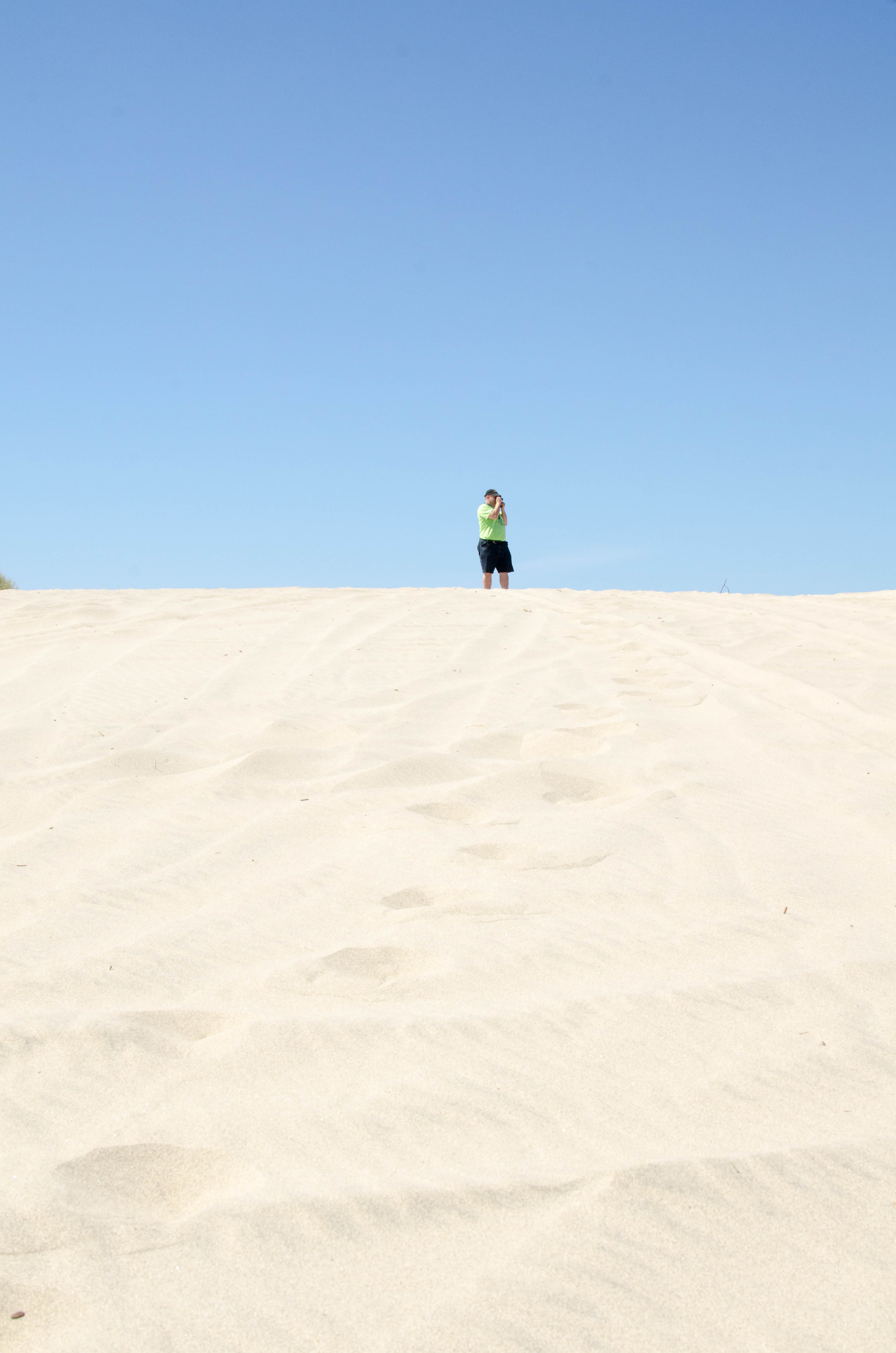
Mowgli wandered ahead of me to take some shots.
So...far...away...
026-DSC_9543.jpg
bigger version
huge
.")
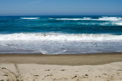
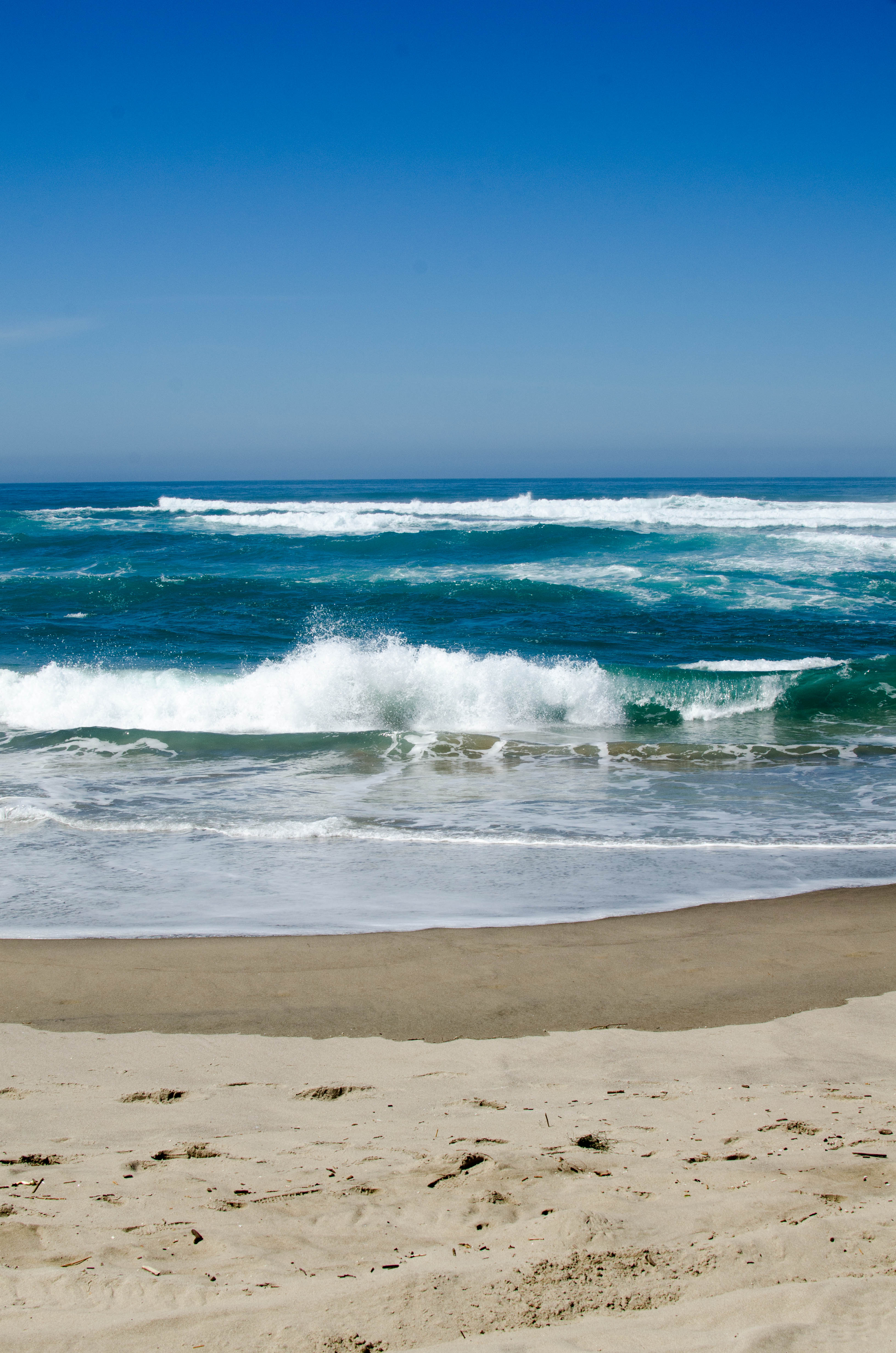
Eventually the Sand Lake meets actual water (the Pacific Ocean).
027b-sand2_Panorama....
bigger version
huge

Skipping the water and looking to my left with a
panoramic picture.
031-DSC_9555.jpg
bigger version
huge

There was a bit of a fog off to the right, which faces
north-ish.
033-DSC_9559.jpg
bigger version
huge

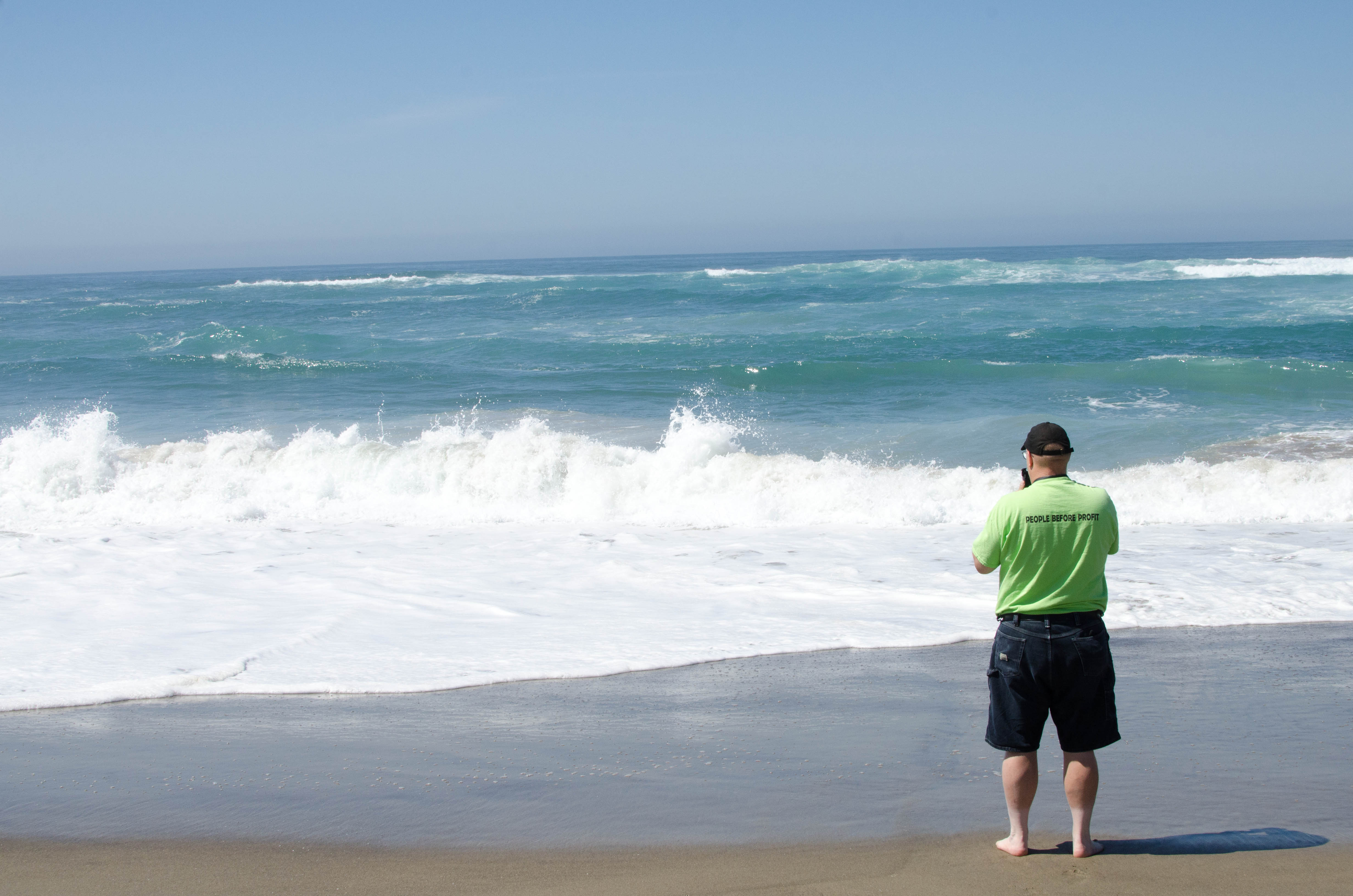
Mowgli stands and watch the waves, barefoot, knowing his shos
are safe behind...(more)
034-DSC_9560.jpg
bigger version
huge

Trucks and all terrain vehicles in the dunes behind us.
035-DSC_9562.jpg
bigger version
huge
")
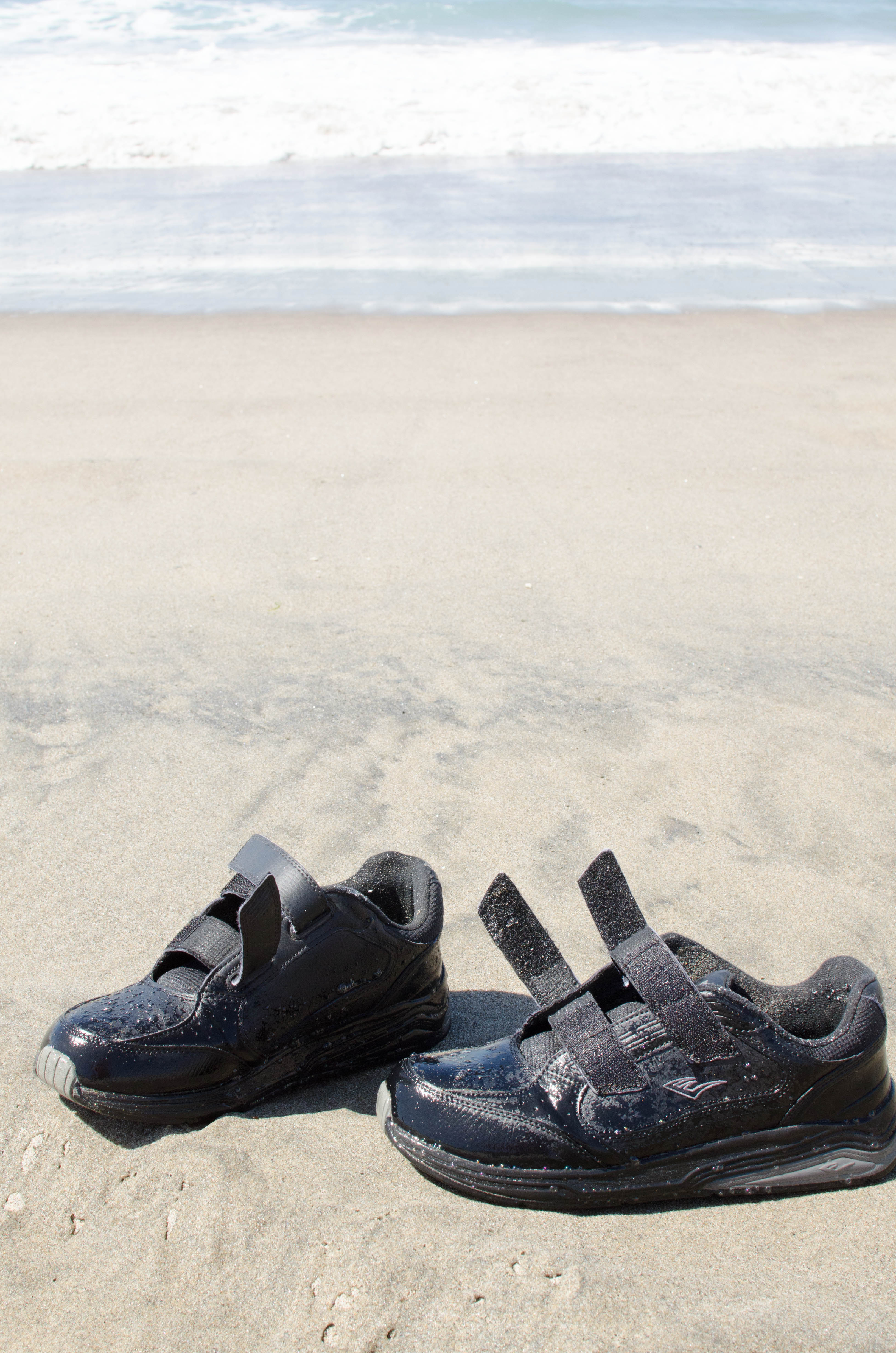
Mowgli's shoes...wet, as if the tide had just come in
and soaked them. (It...(more)
035a-beach_Panorama....
bigger version
huge

Two shot panoramic of the bedge of the beach. I like
how beyond the sign,...(more)
038-DSC_9565.jpg
bigger version
huge

And a very blue sky to contrast the green and other colors.
047-DSC_9574.jpg
bigger version
huge

Narrow depth of field, blurring the misty mystery of What Lies
Beyond.
048-DSC_9575.jpg
bigger version
huge

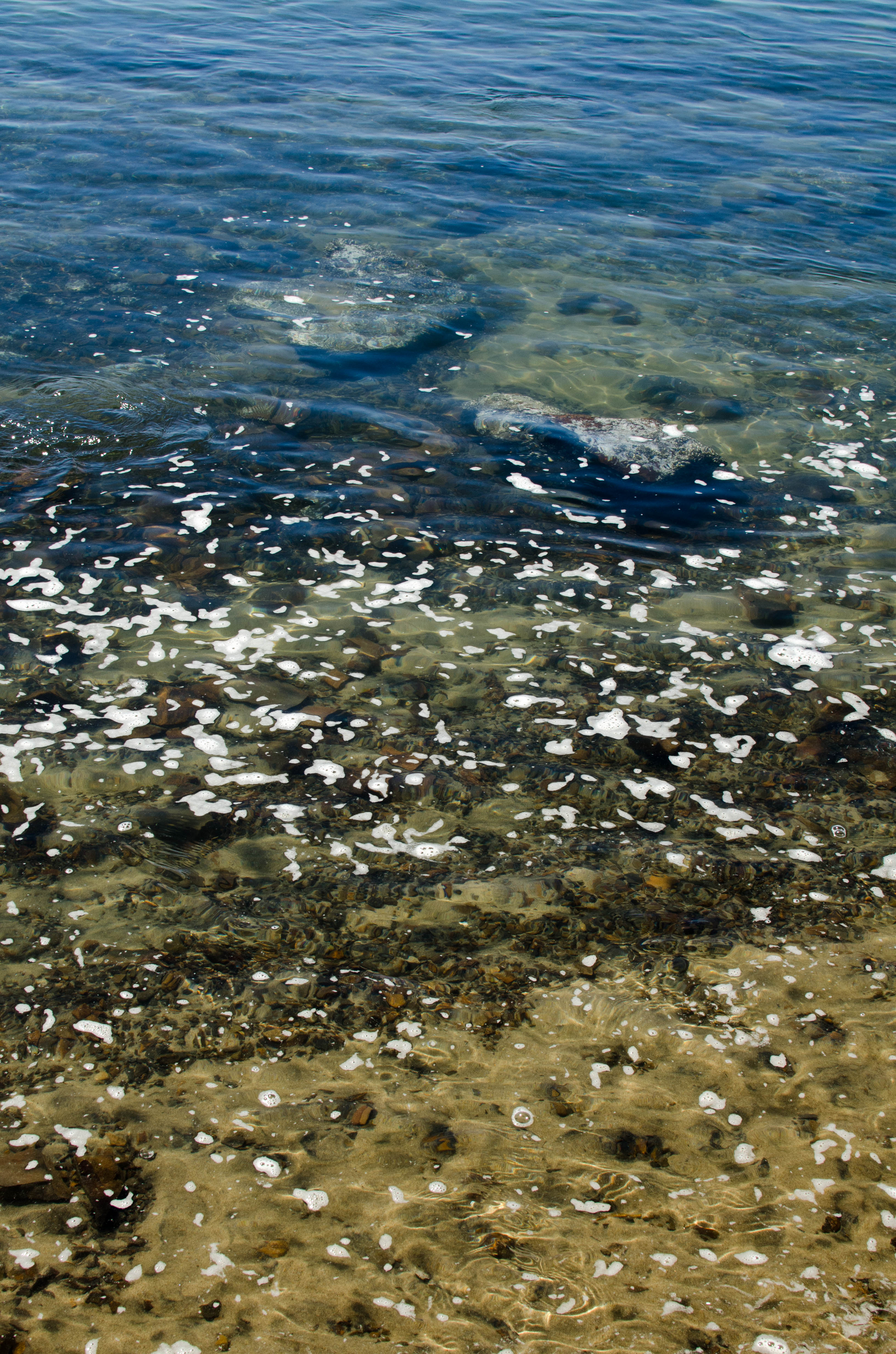
Cool colors, patterns, and textures in the sand. Very different
from the wind...(more)
049-DSC_9576.jpg
bigger version
huge

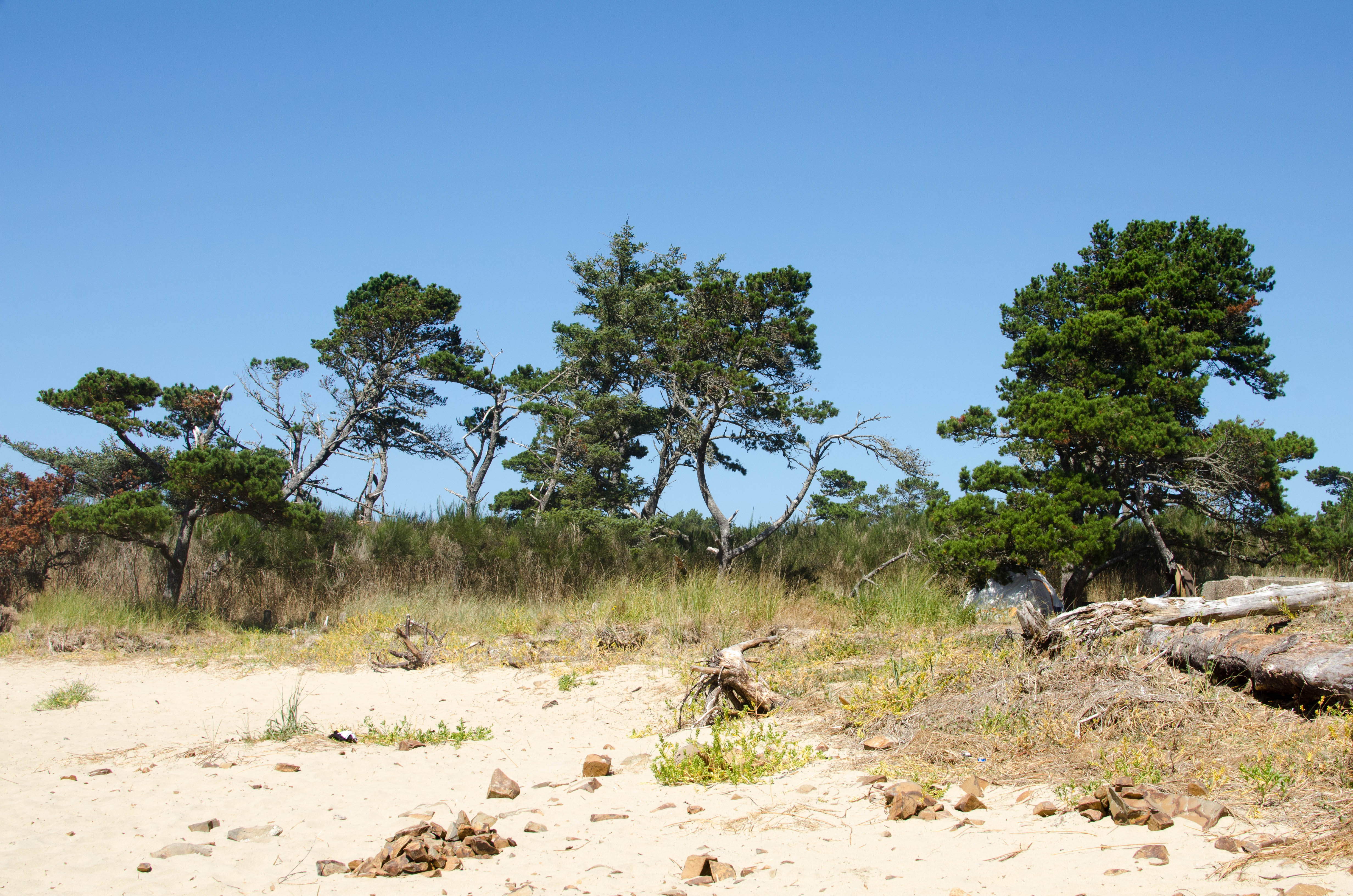
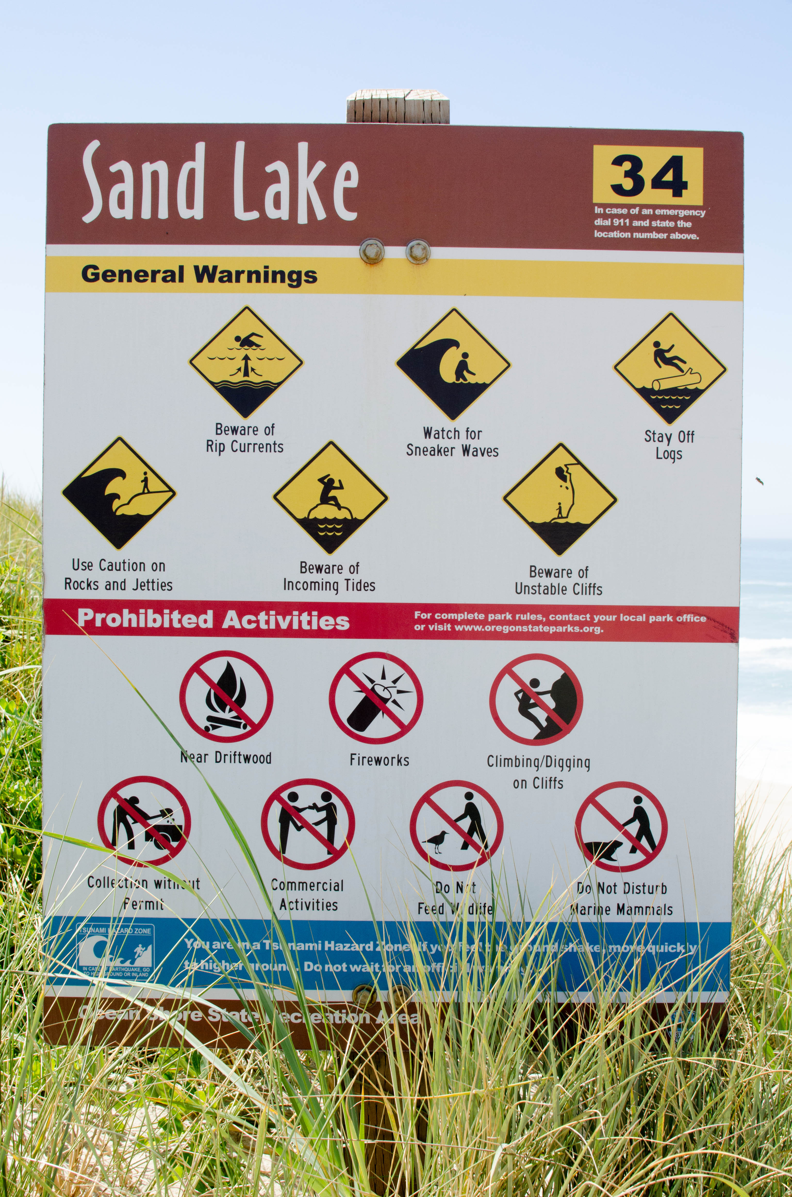
A warning sign. I really like all the yellow warning symbols.
I'm not sure...(more)
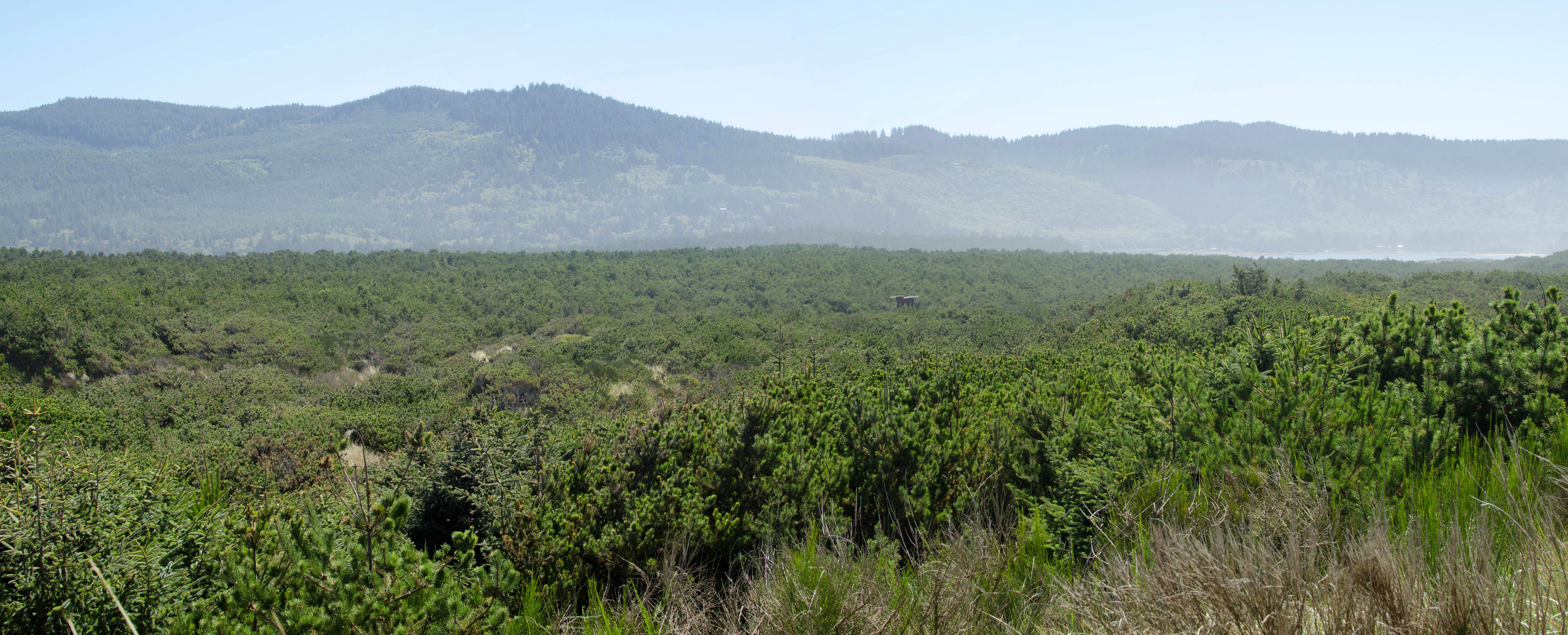
049a-no_sand_Panoram...
bigger version
huge

Panoramic shot looking back east to an ocean of green
with hills in the...(more)
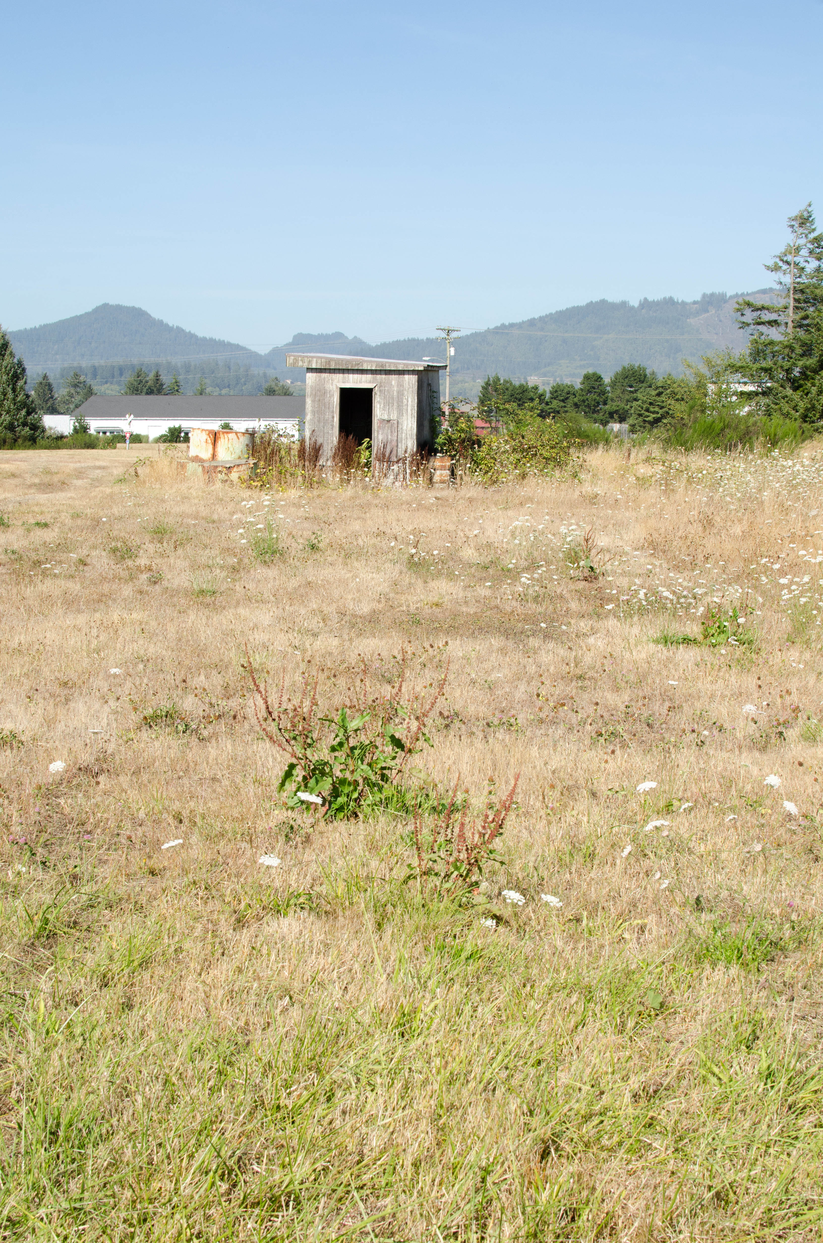
050-DSC_9577.jpg
bigger version
huge

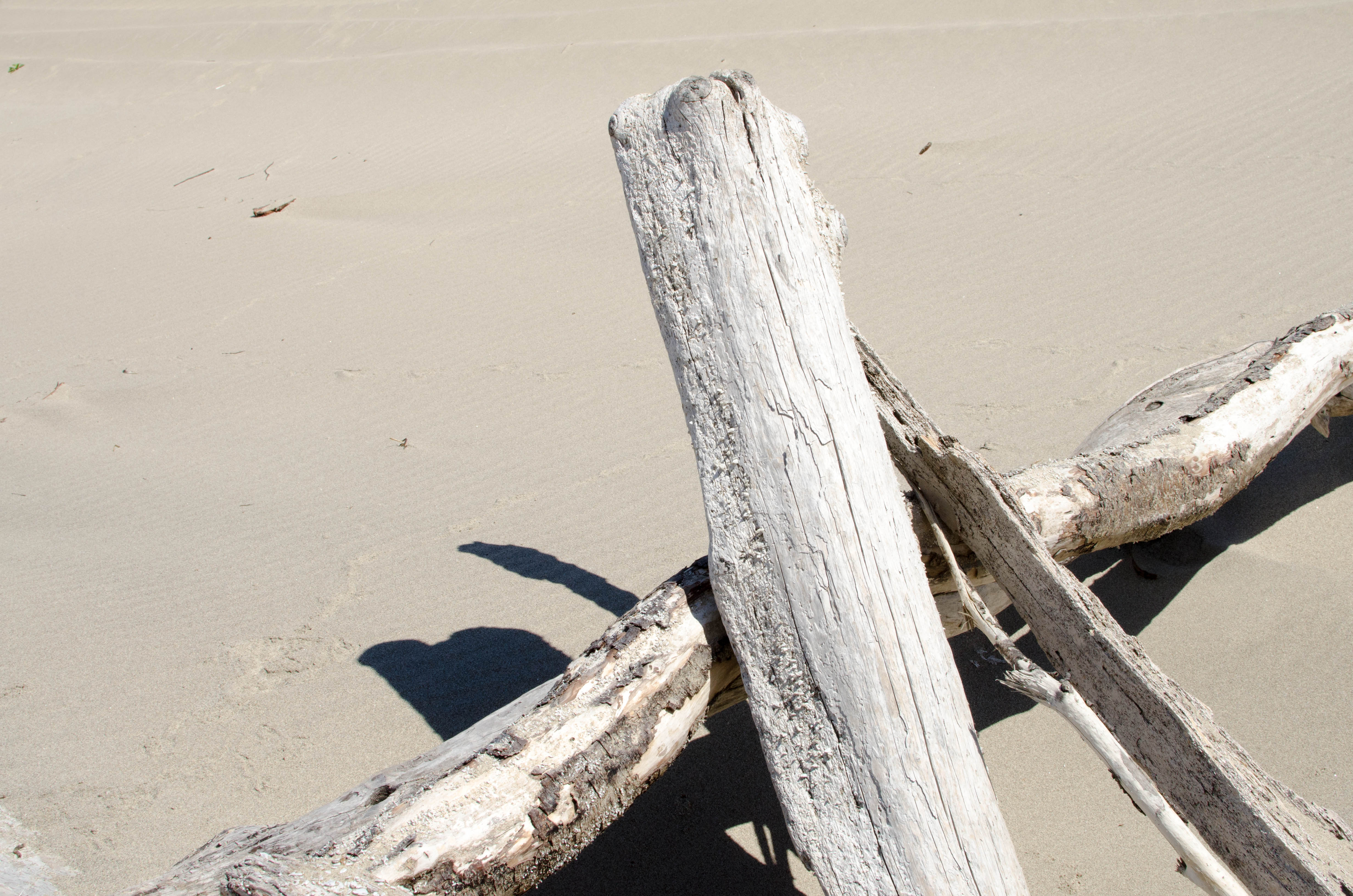
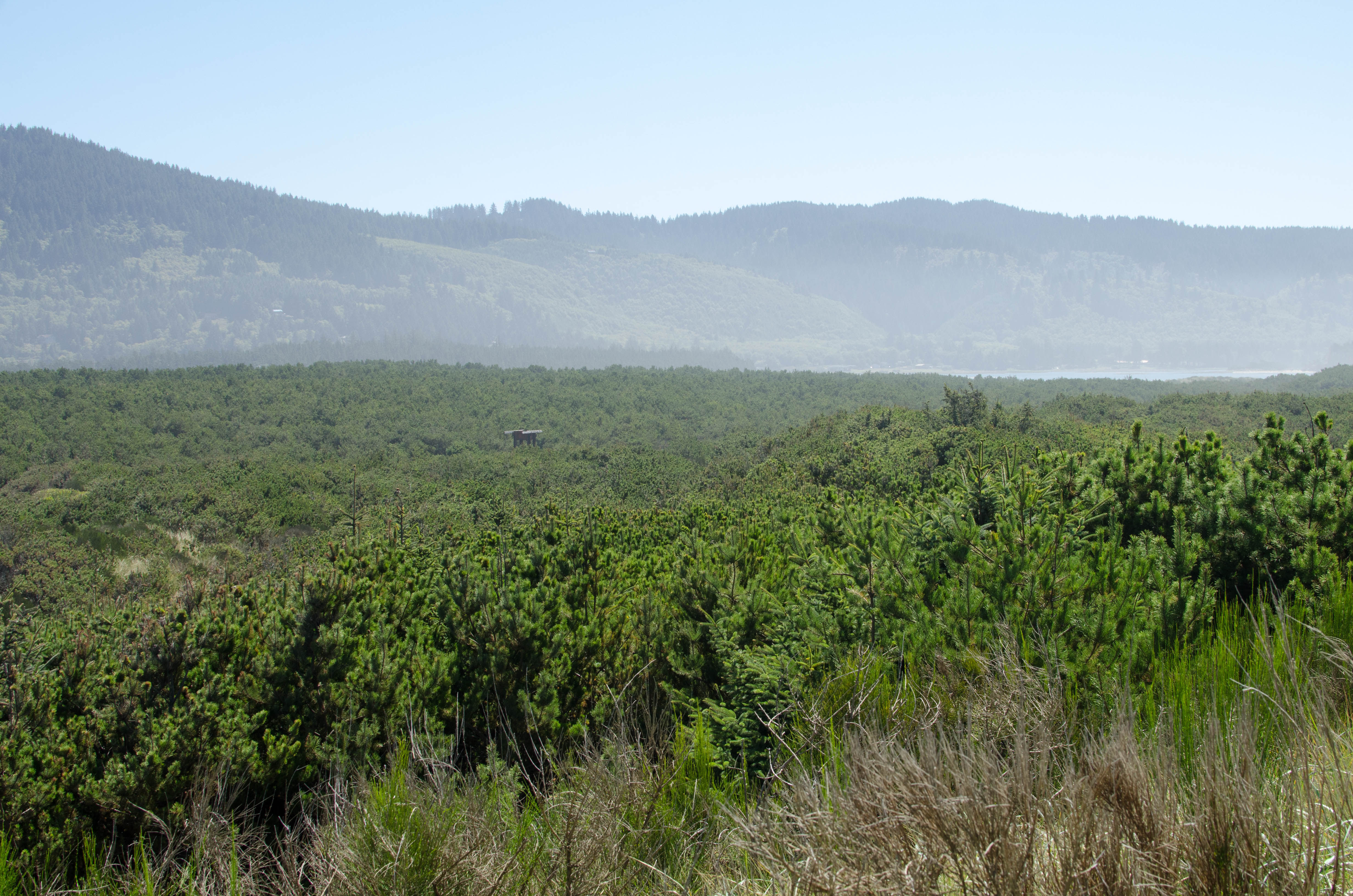
I don't know what that small wooden structure in the middle is.
I assume...(more)
053-DSC_9580.jpg
bigger version
huge

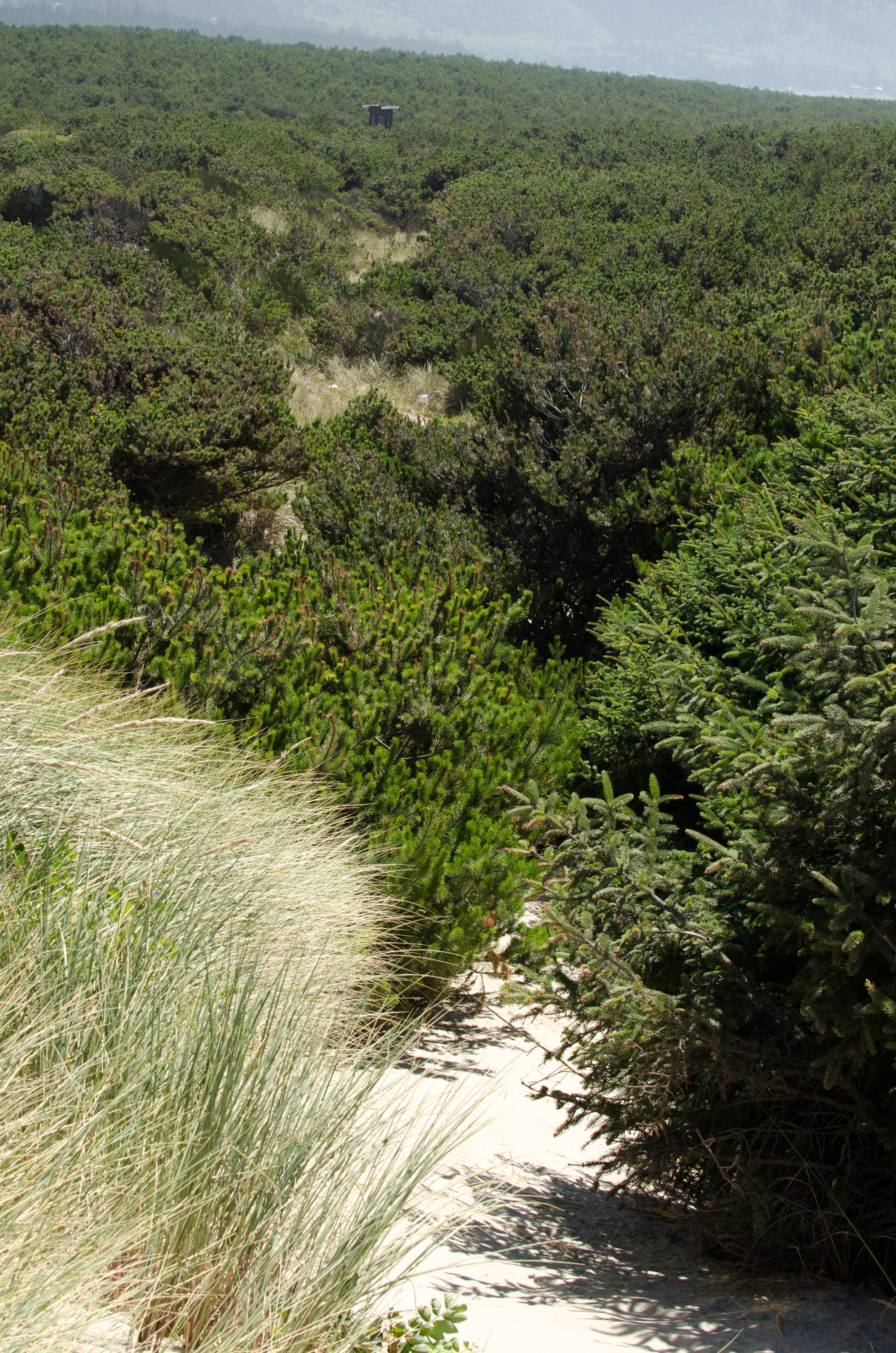
A path leading down into the tall grass and eventually to the
Mystery Structure.
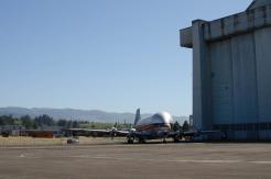
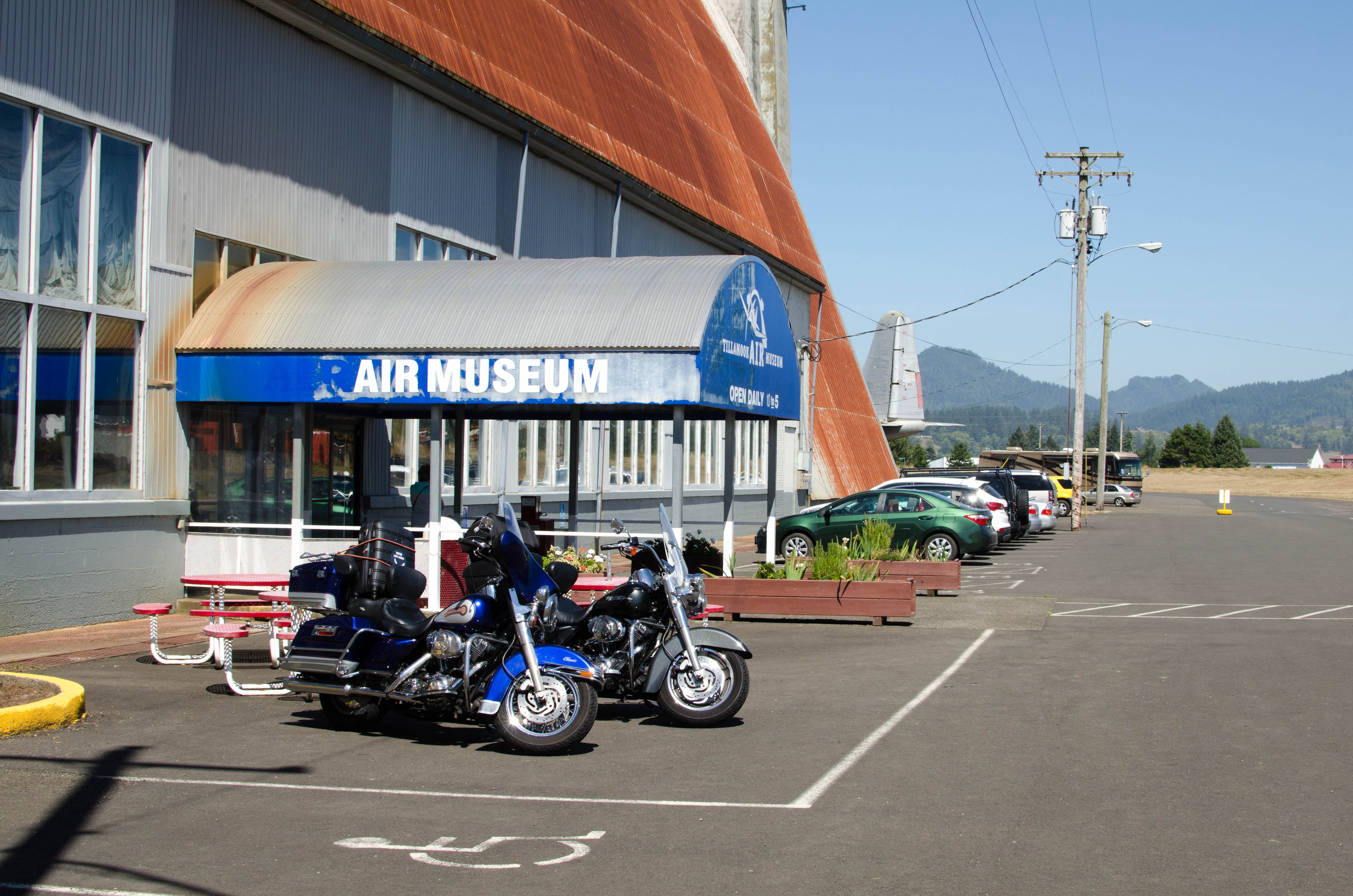
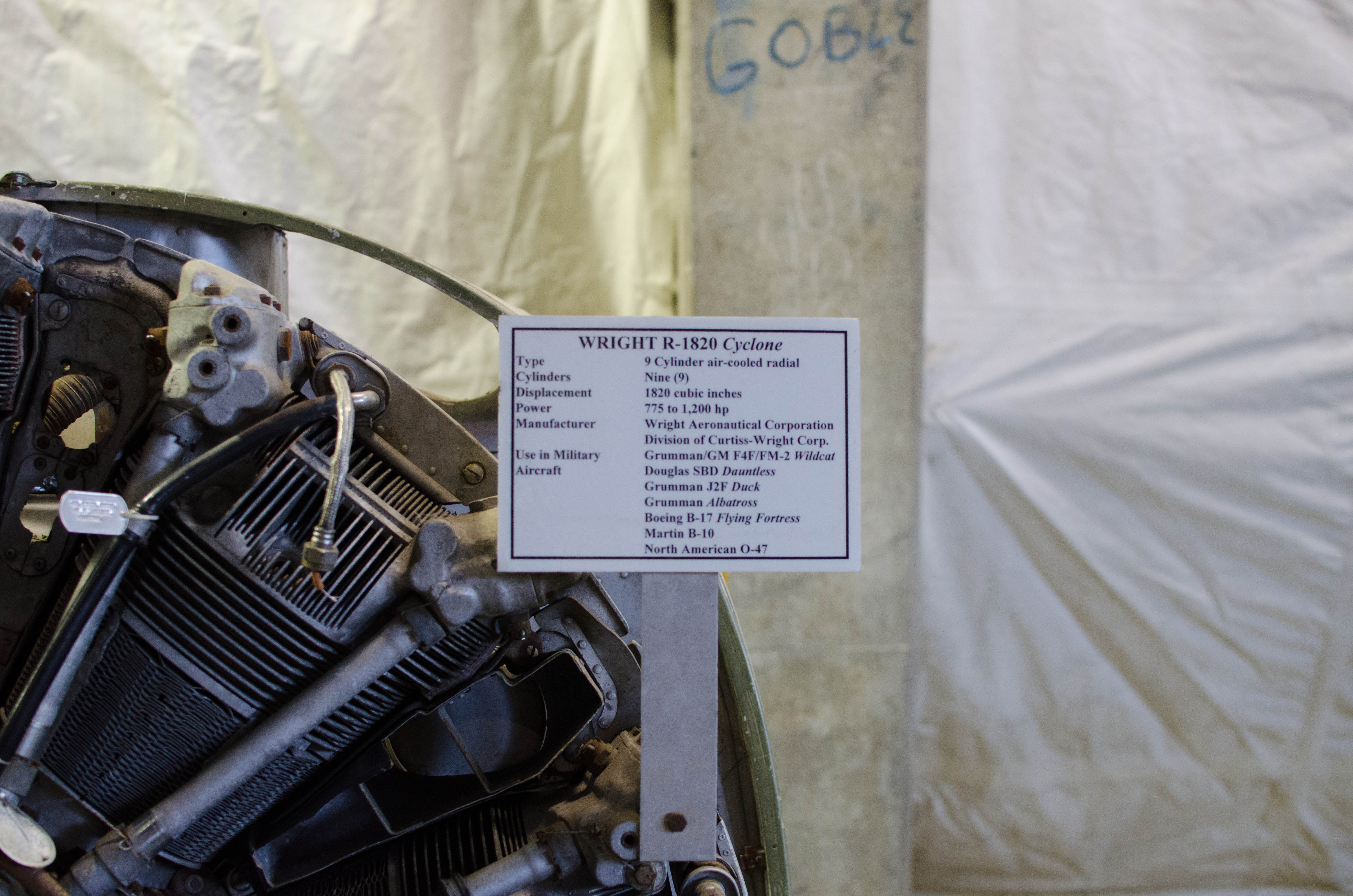
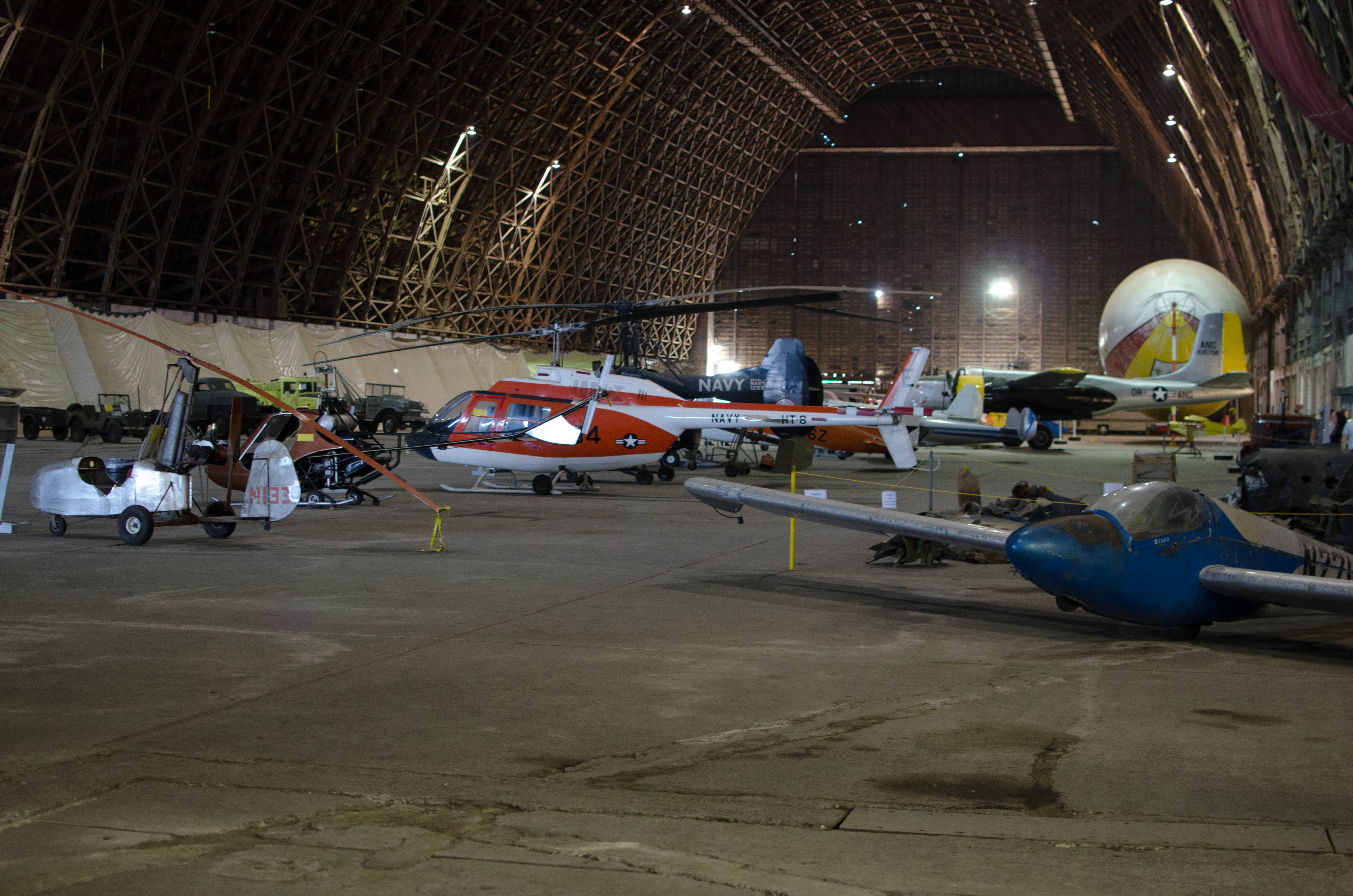
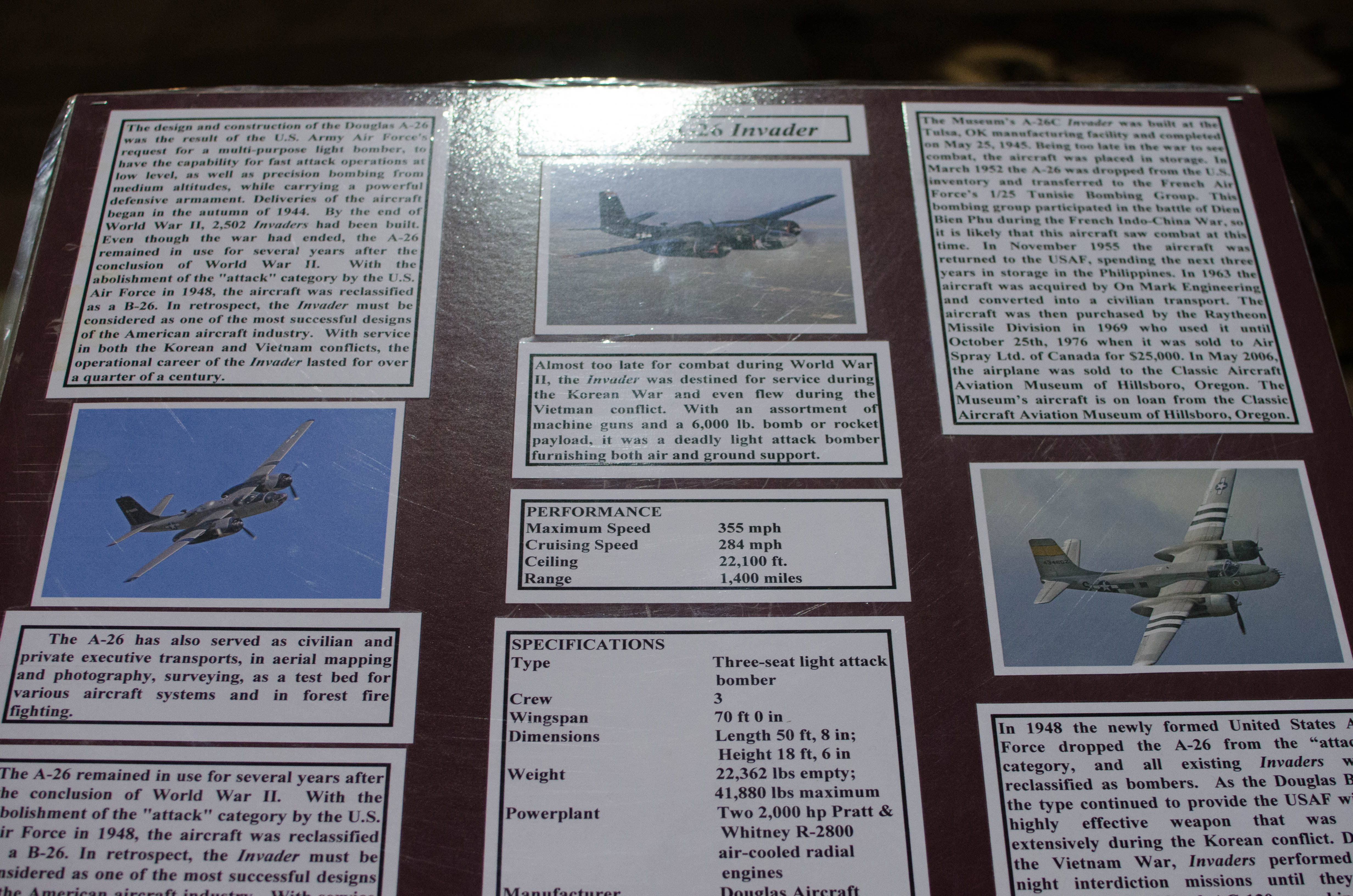
Naval Air Station Tillamook Air Musuem
The Tillamook Air Musuem is in Hangar B
at what had been the Naval Air Station Tillamook during World War II.
The hangar is huge: 1072 feet (327 m) long, 296 feet (90 m) wide,
and 192 feet (59 m) tall. The inside area is over 7 acres (2.8 ha).
Hangar A was destroyed in a fire in 1992. The musuem has a collection
of various aircraft.
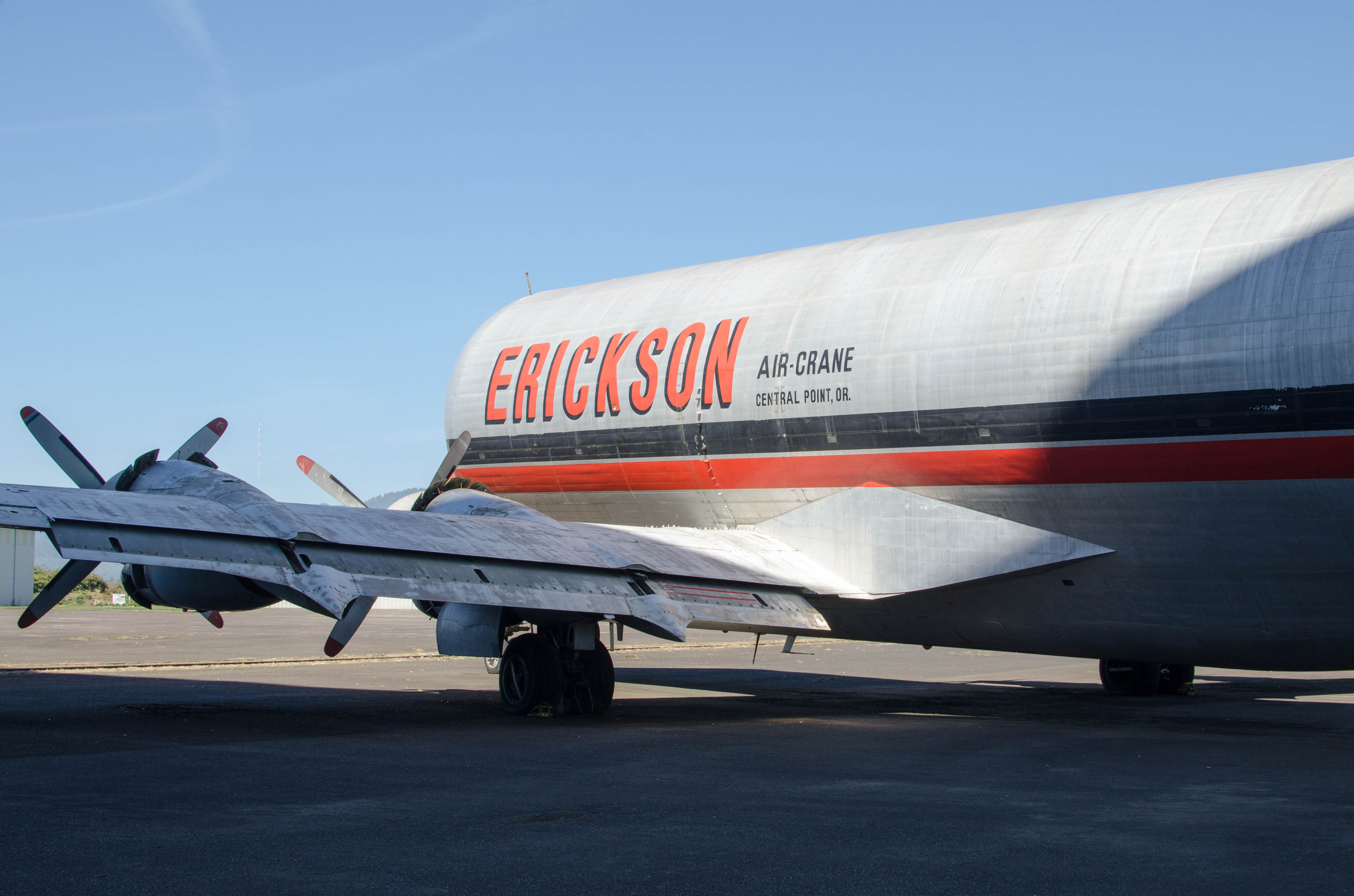
056a-hangar_Panorama...
bigger version
huge

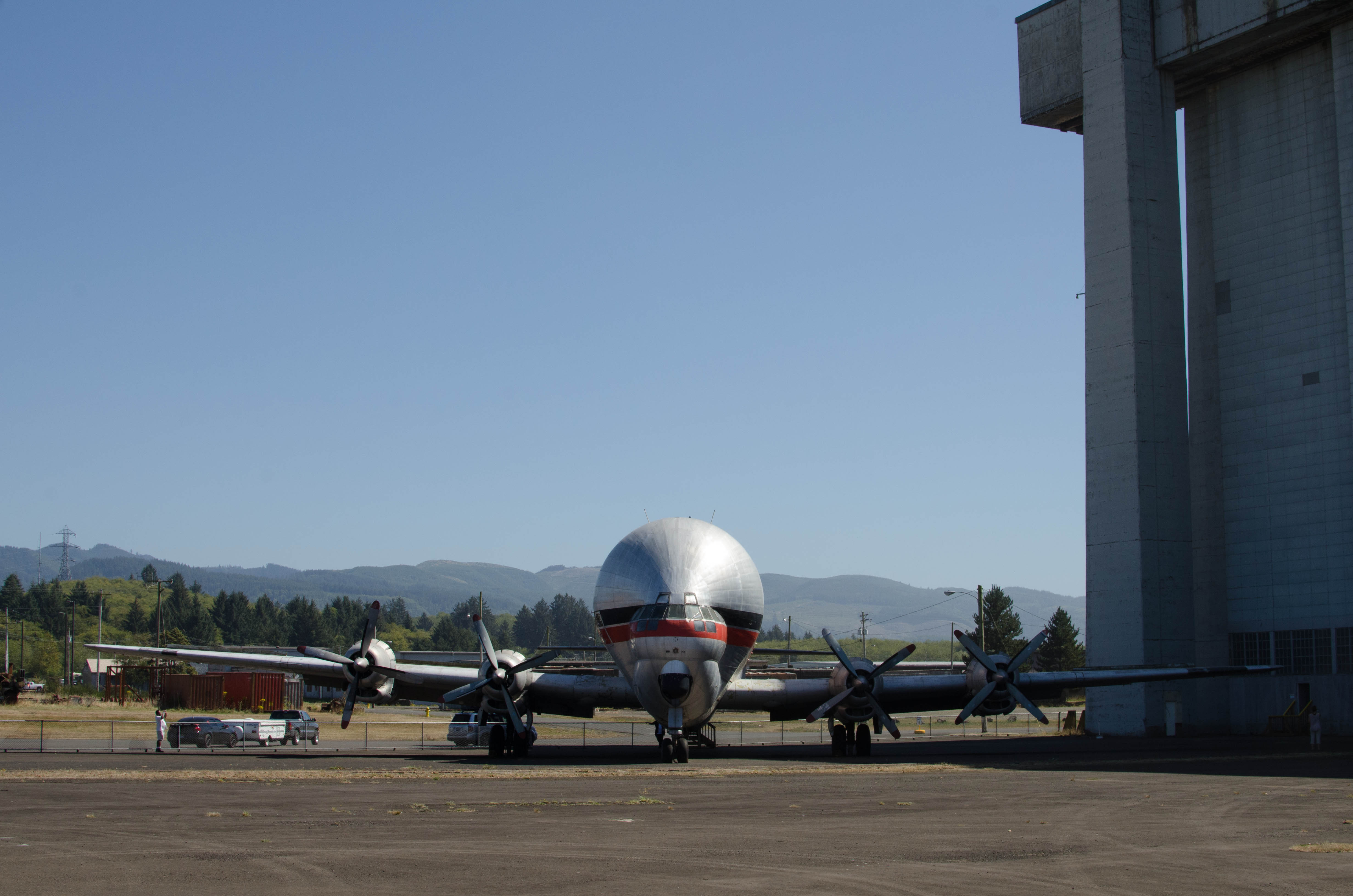
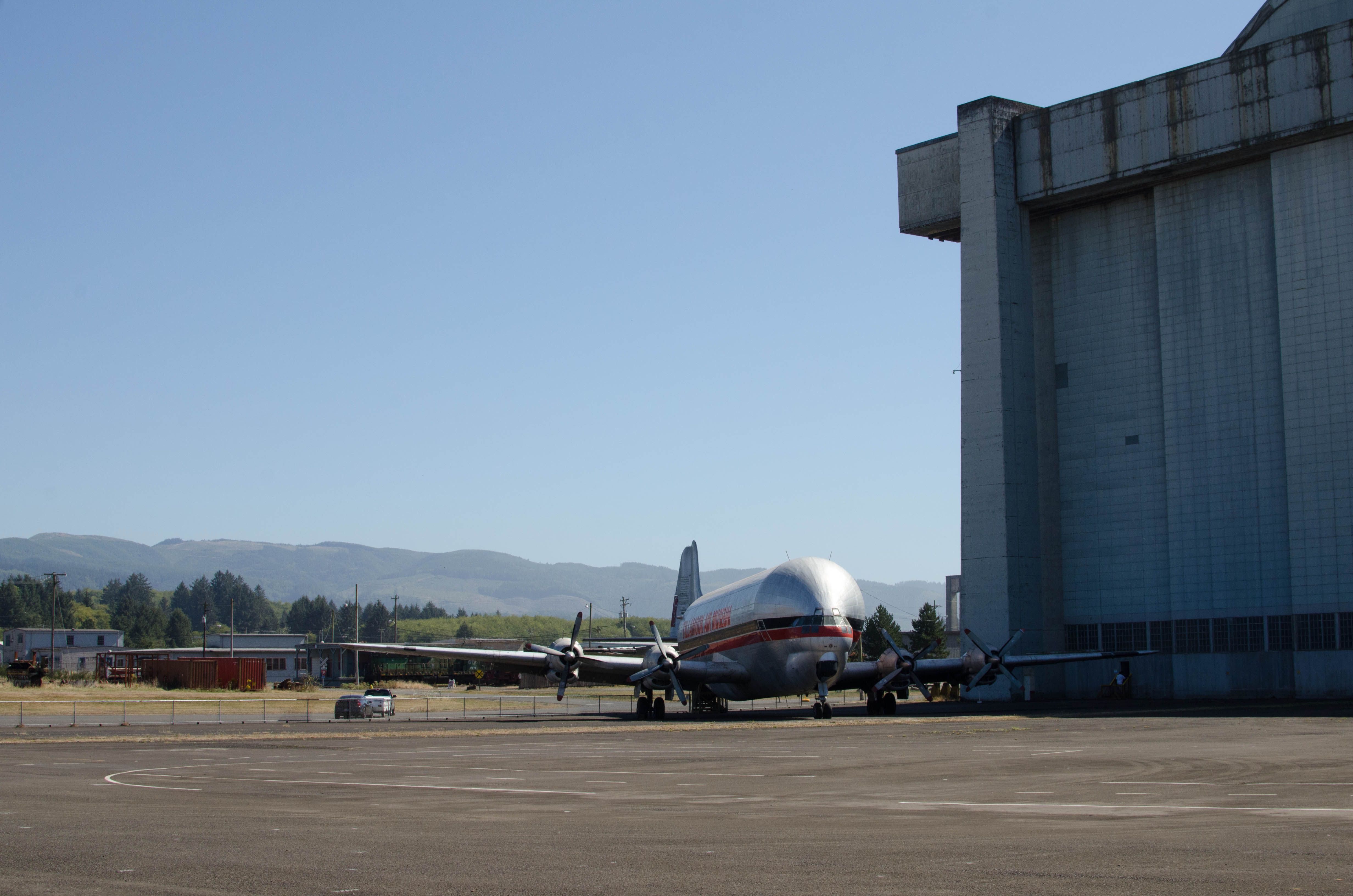
Panoramic 2-shot picutre of Hangar B with
the Aero Spacelines Mini Guppy in...(more)
058-DSC_9586.jpg
bigger version
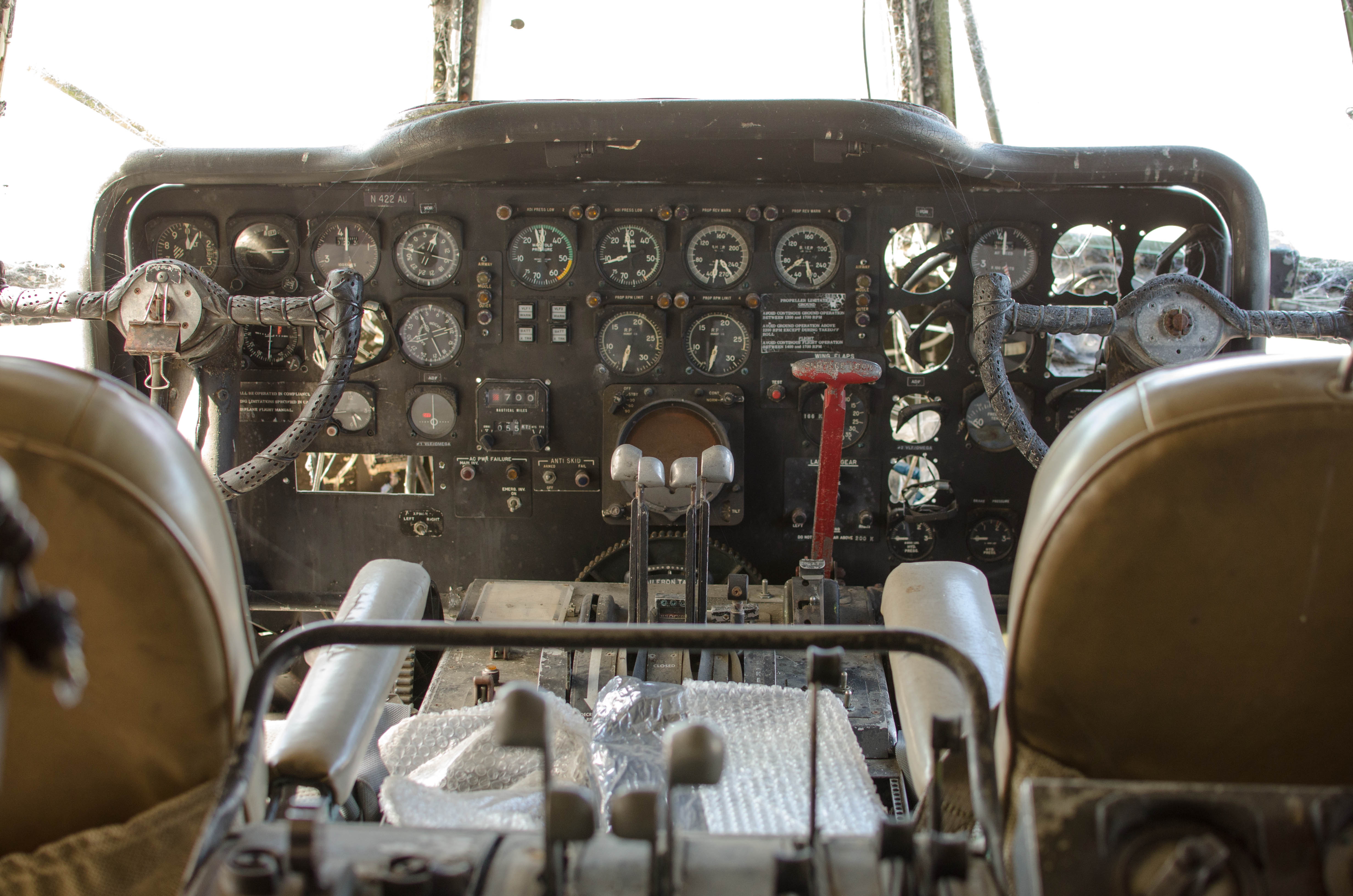
huge

The view forward from the steps that was cockpit level
on a F-14 Tomcat.
060-DSC_9588.jpg
bigger version
huge

The Mini Guppie. It was designed to haul parts
of rockets for NASA in the...(more)
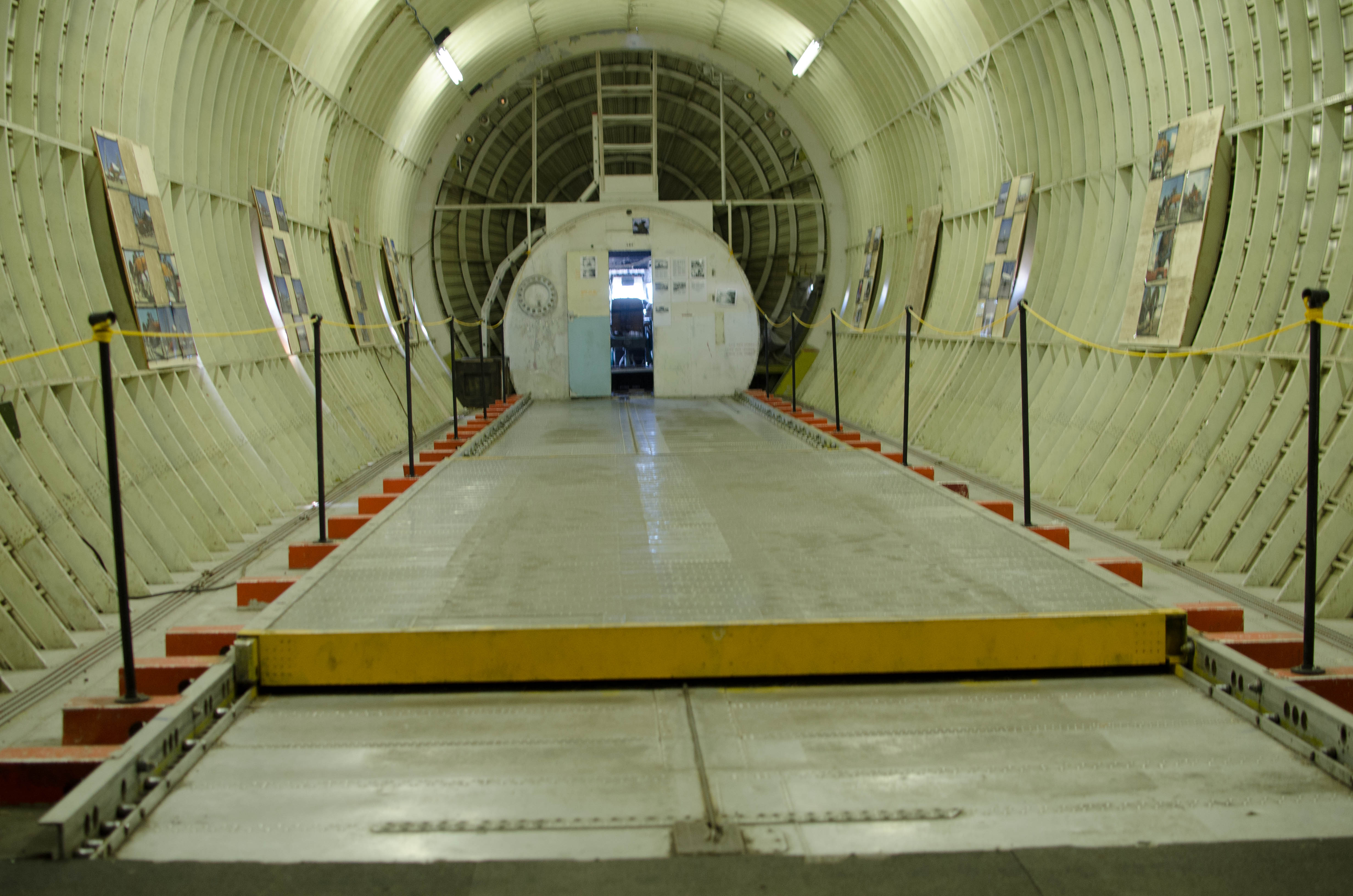
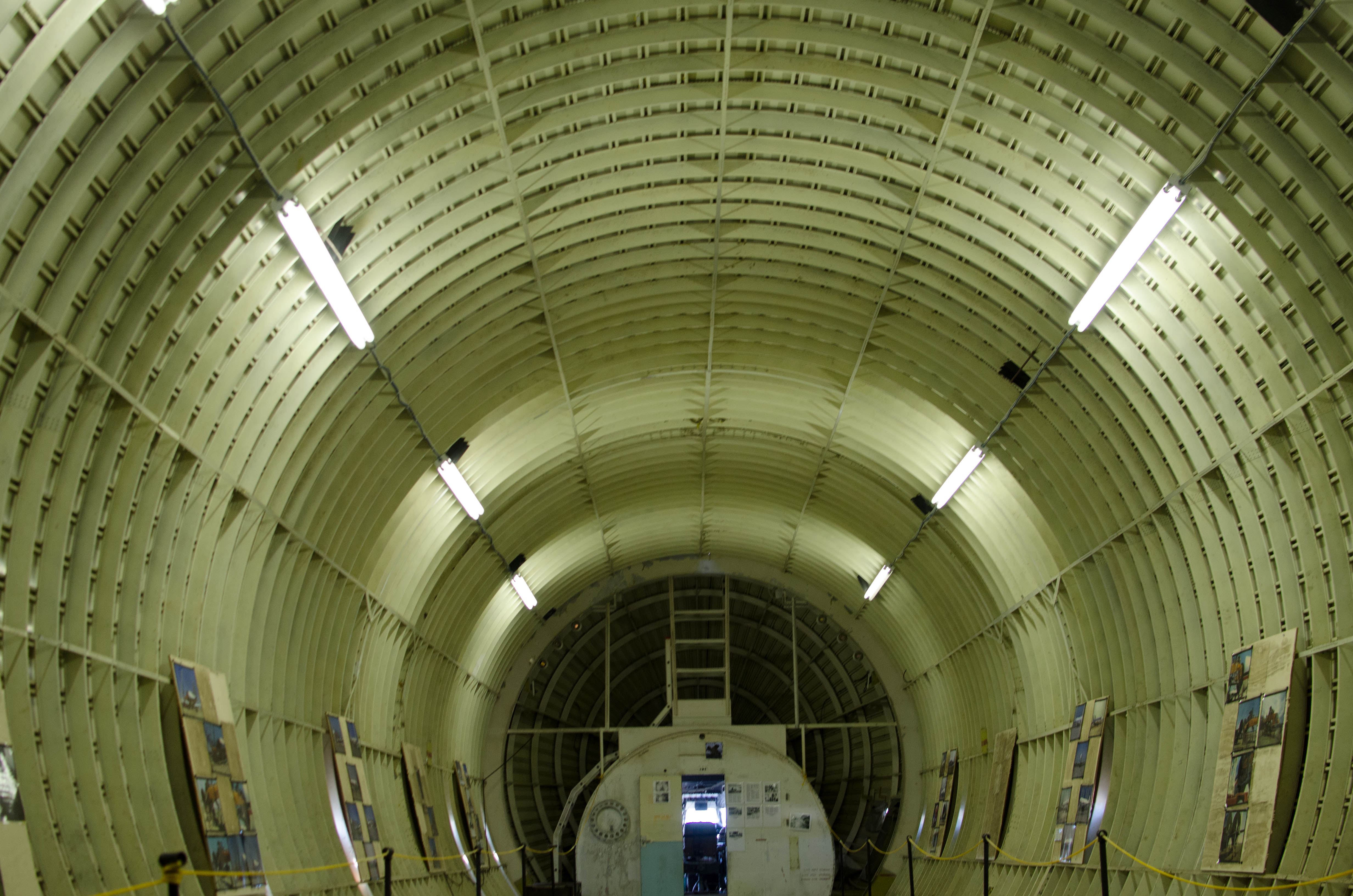
061-DSC_9592.jpg
bigger version
huge

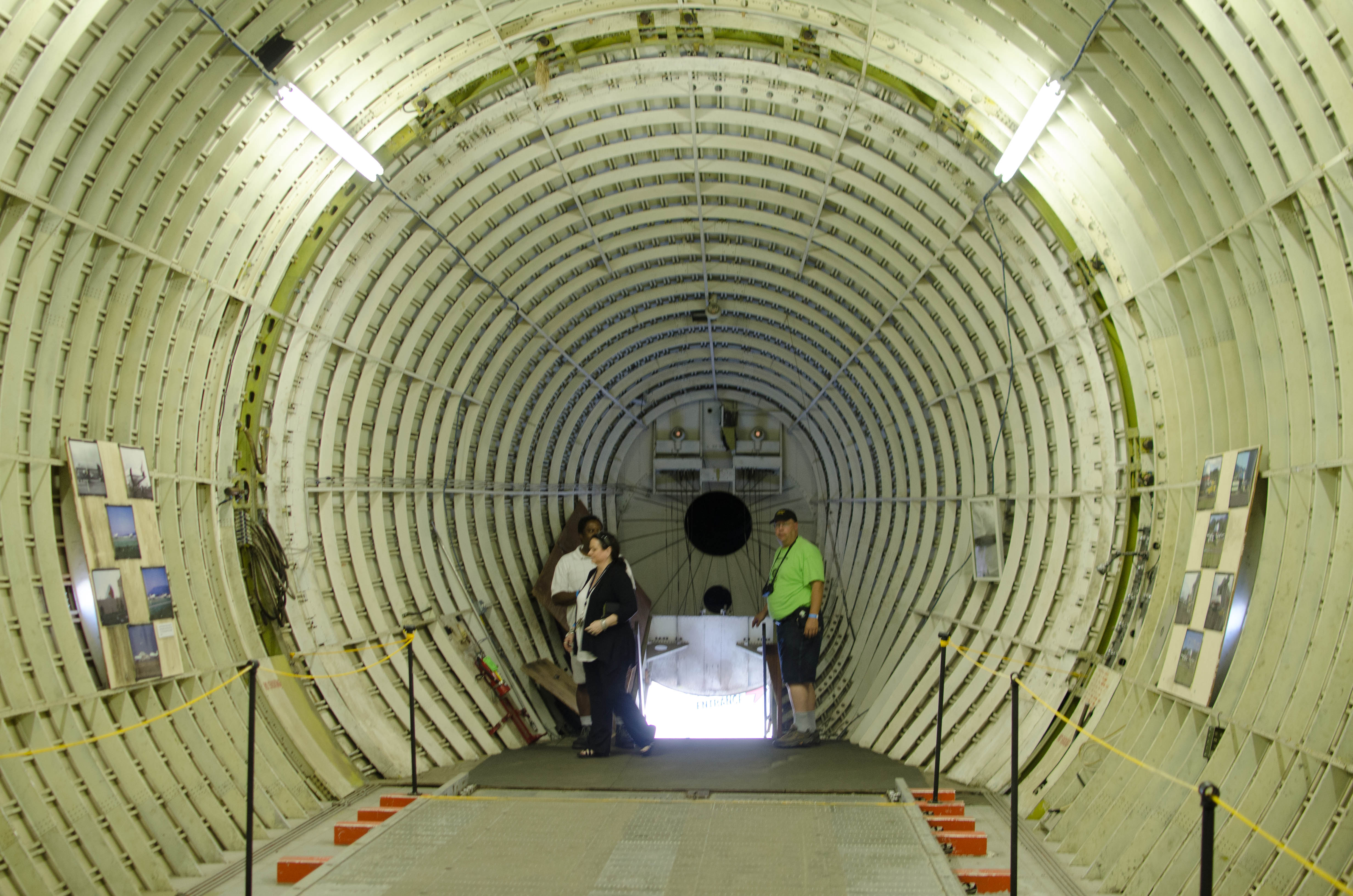
The inside of the Guppy, looking forward. The
floor could slide backwards,...(more)
063-DSC_9594.jpg
bigger version
huge

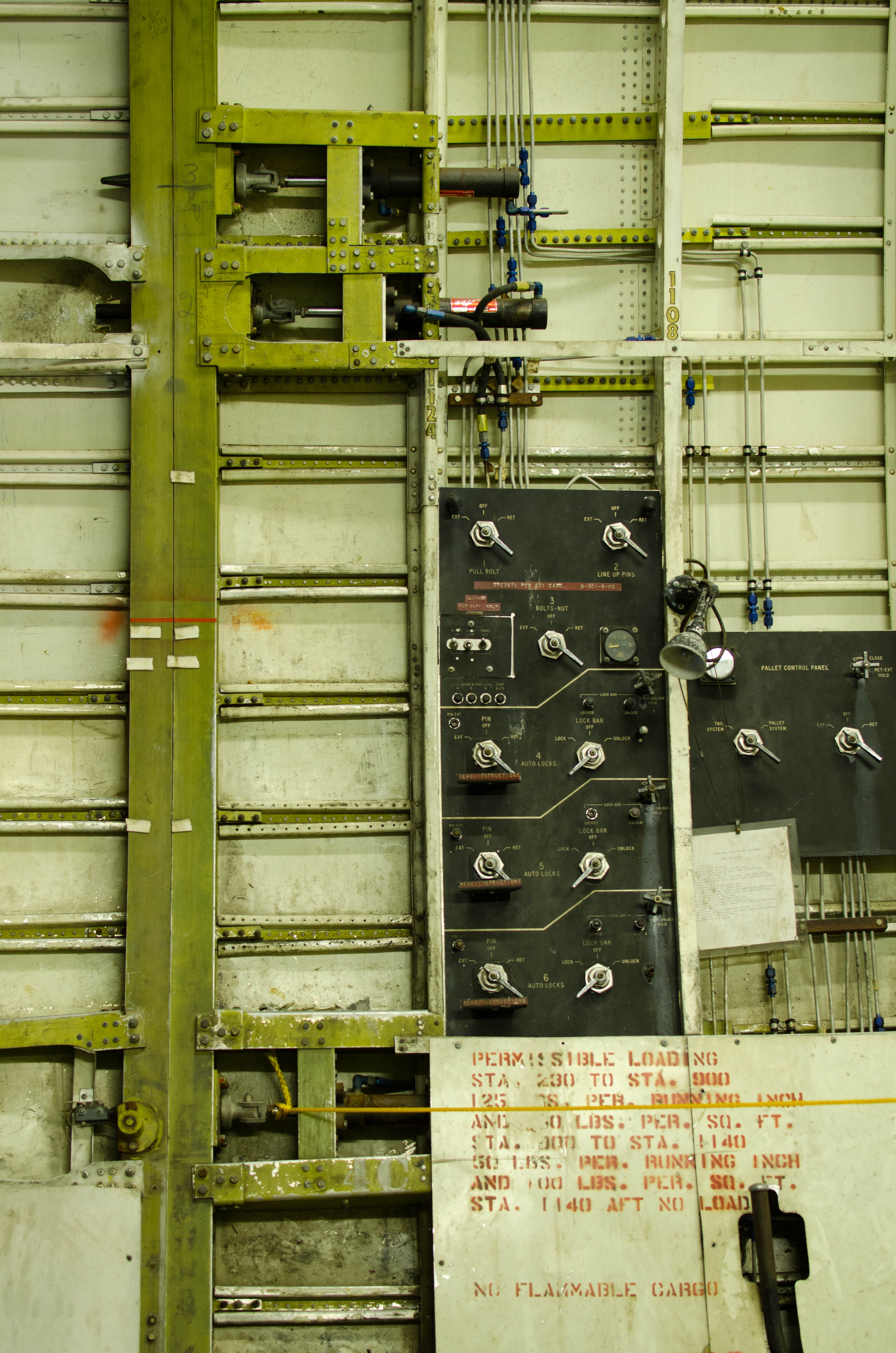
The tail opened up for loading and unloading.
This shows the vertical seam,...(more)
065-DSC_9596.jpg
bigger version
huge

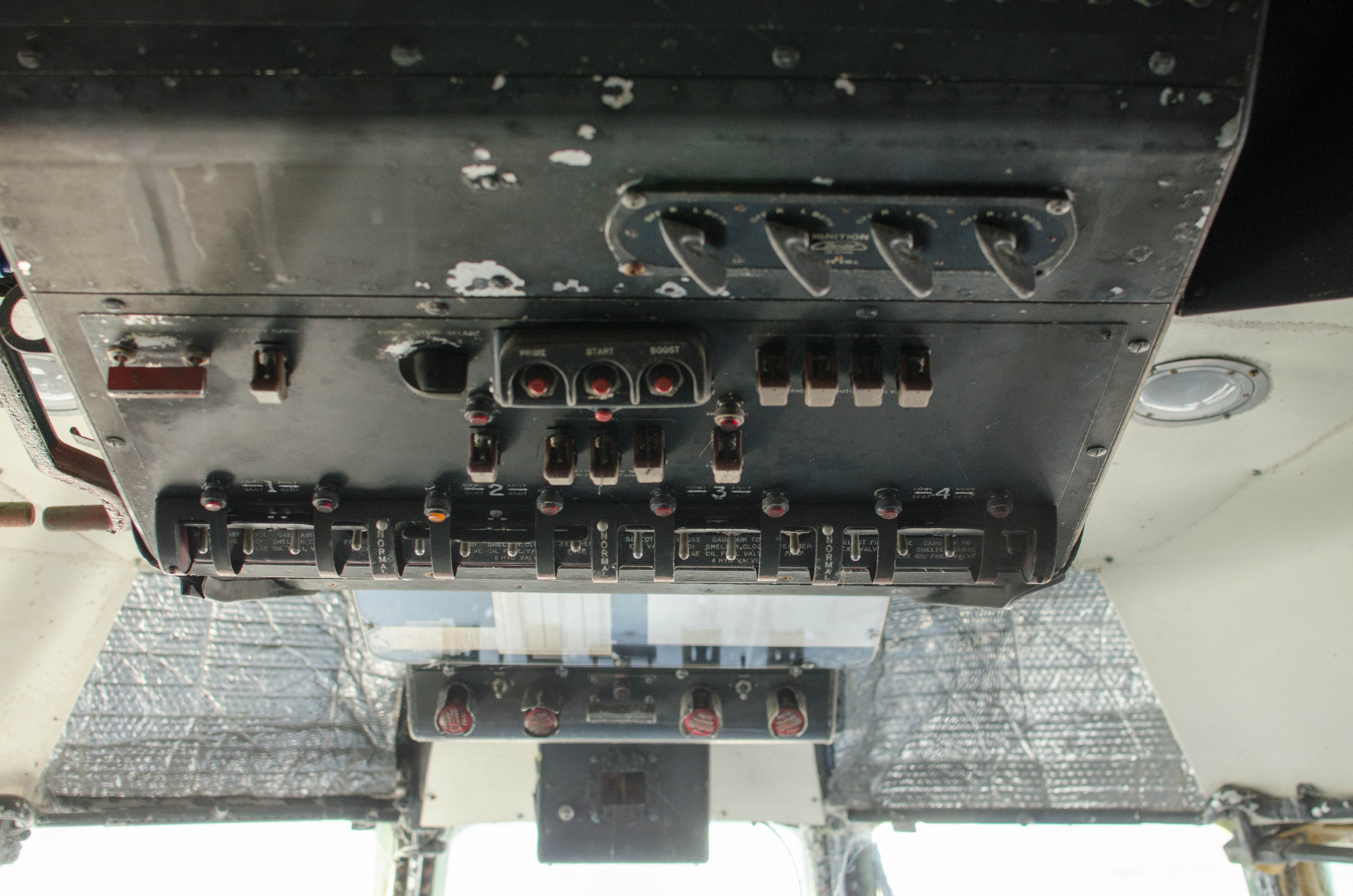
The engine control panel on the ceiling of the
cockpit.
066-DSC_9597.jpg
bigger version
huge

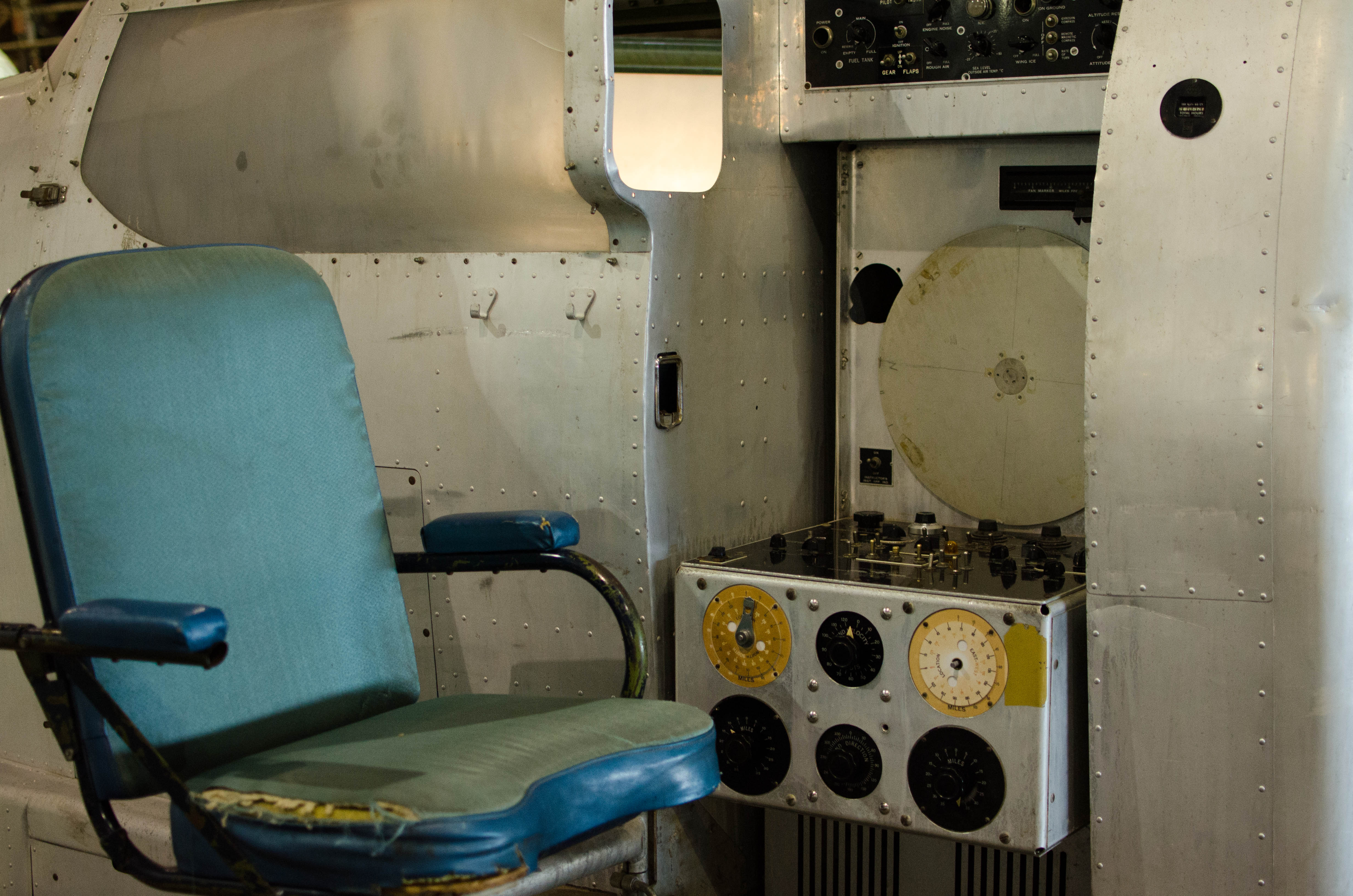
The engineers station in the cockpit, on the back
right side.
067-DSC_9598.jpg
bigger version
huge
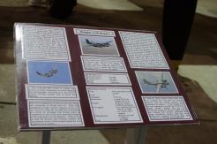
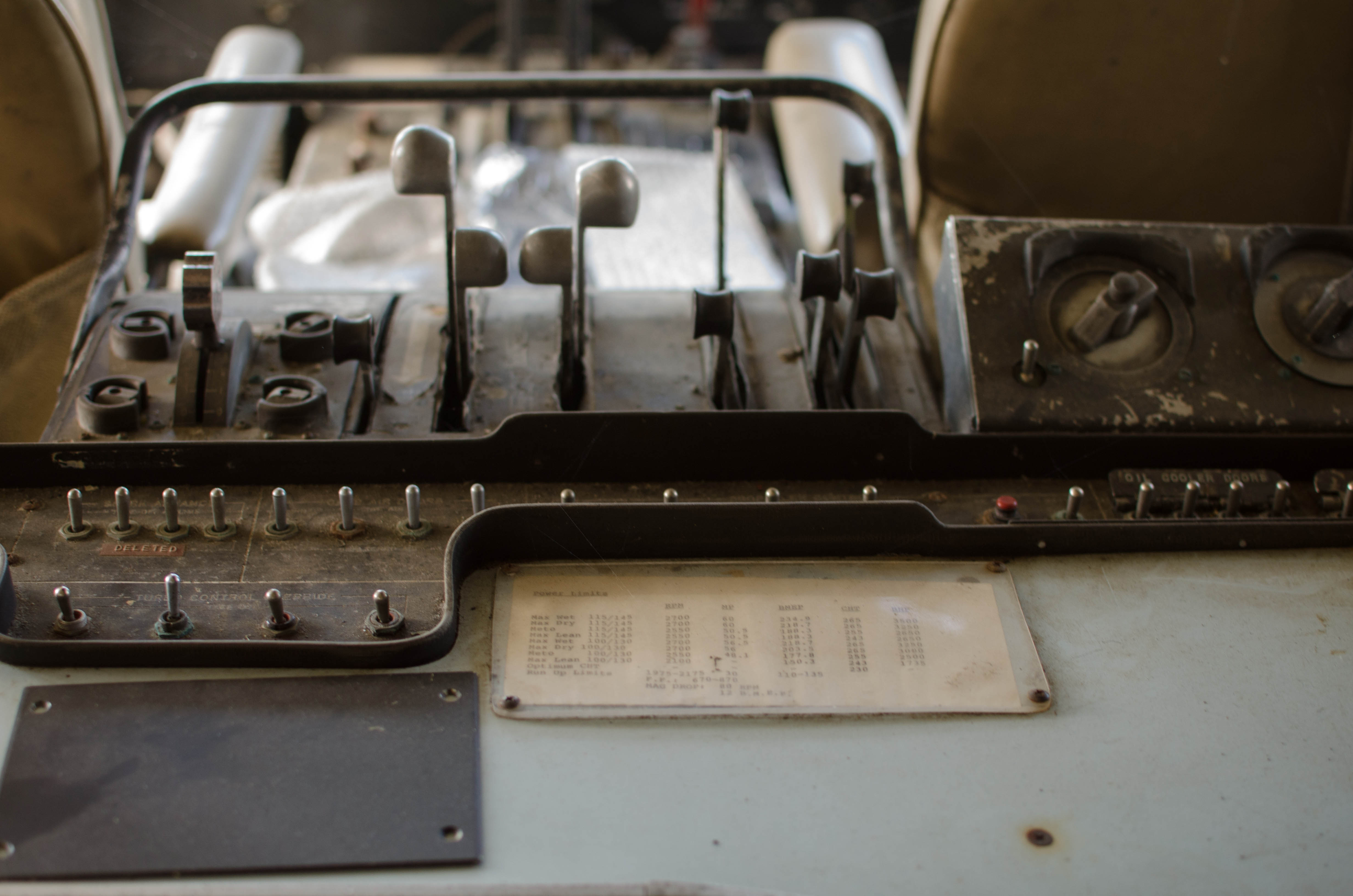
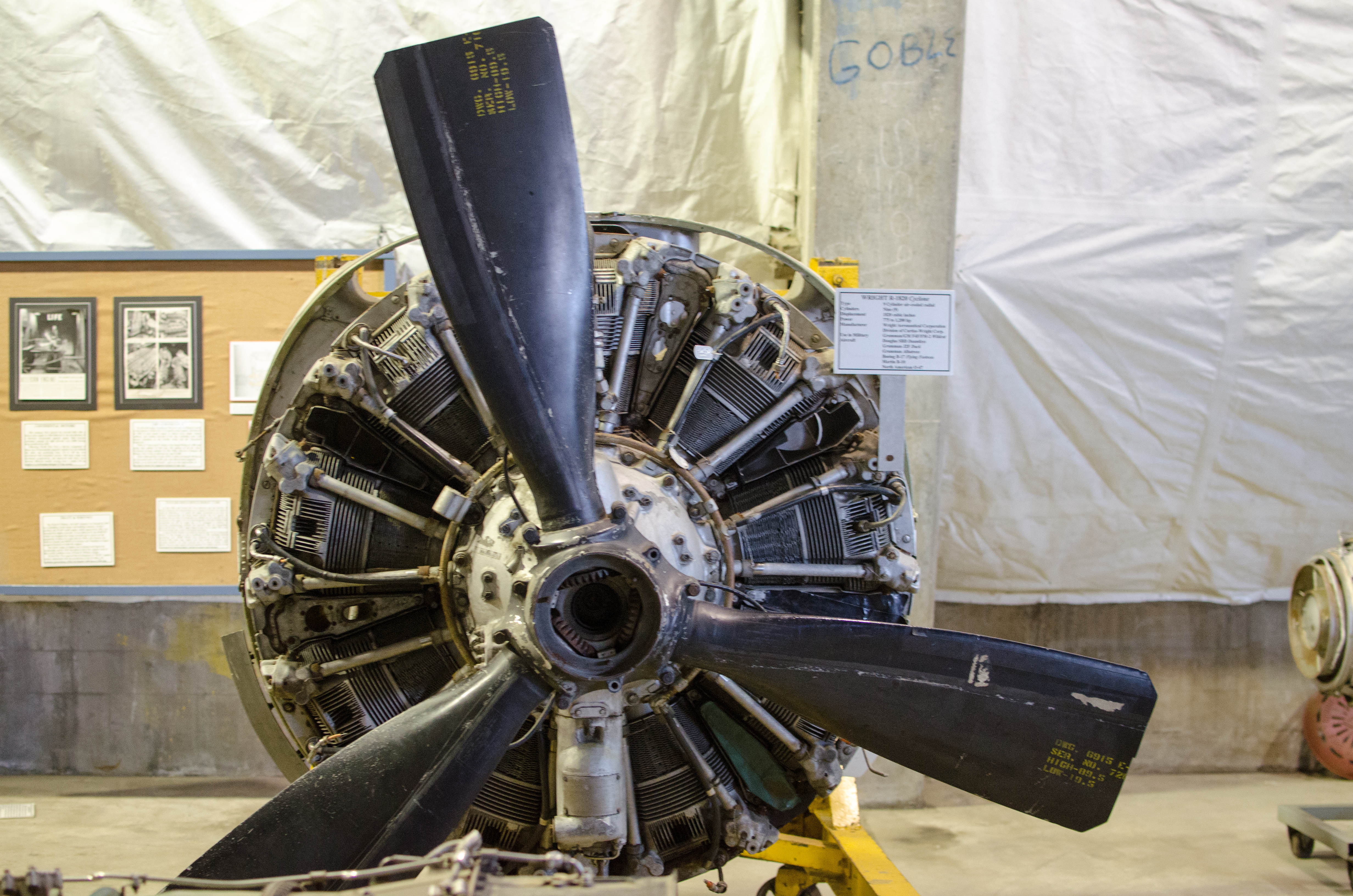
. The sheet of paper lists engine limits, like RPM, manifold pressure, cylinder head temperature and more.")
Engine control levelrs (not throttles, those are
forward of this). The sheet...(more)
068-DSC_9599.jpg
bigger version
huge

Looking back at the cargo hold, which is like 90%
of the plane.
075-DSC_9607.jpg
bigger version
huge

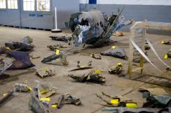
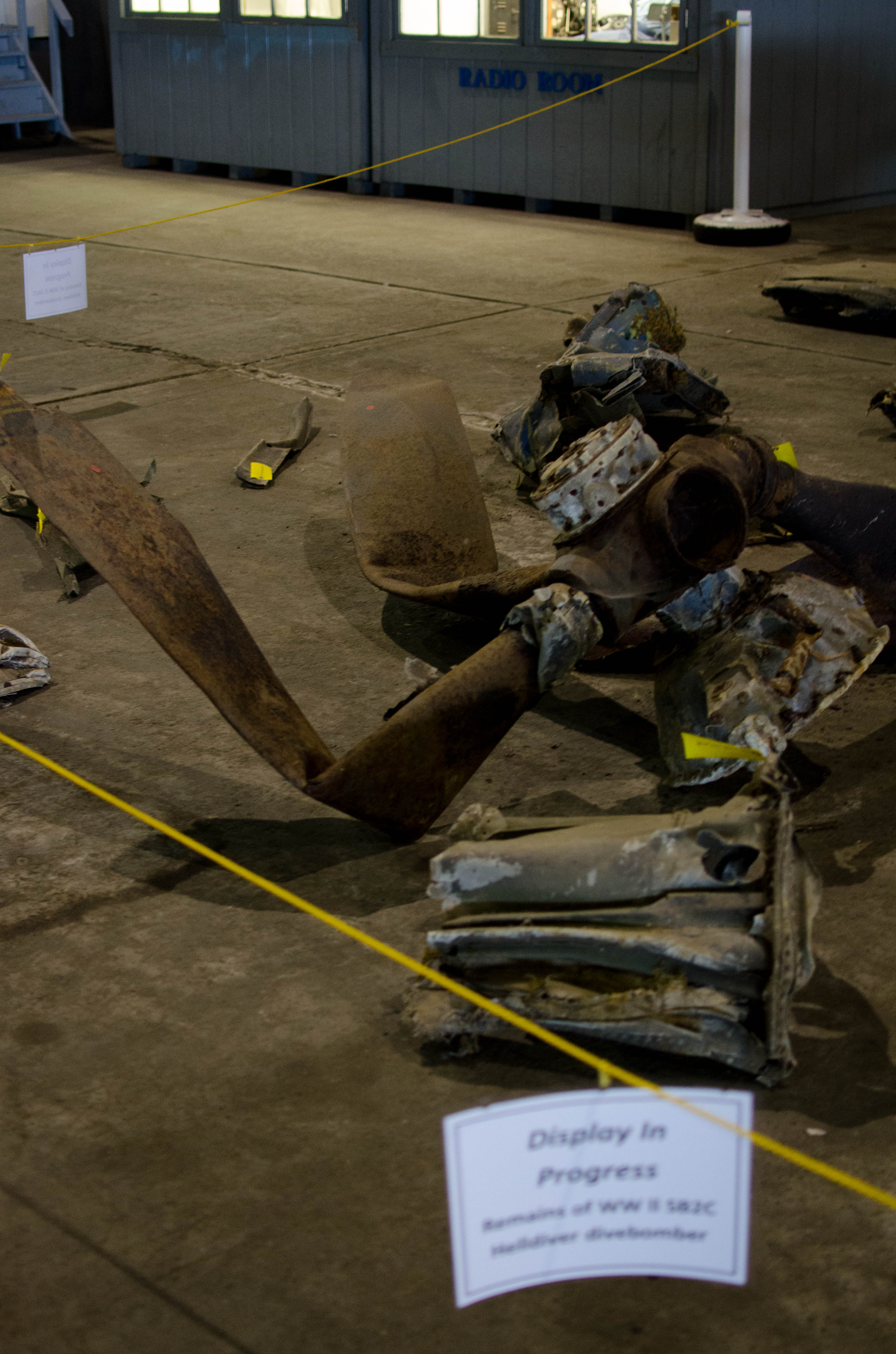
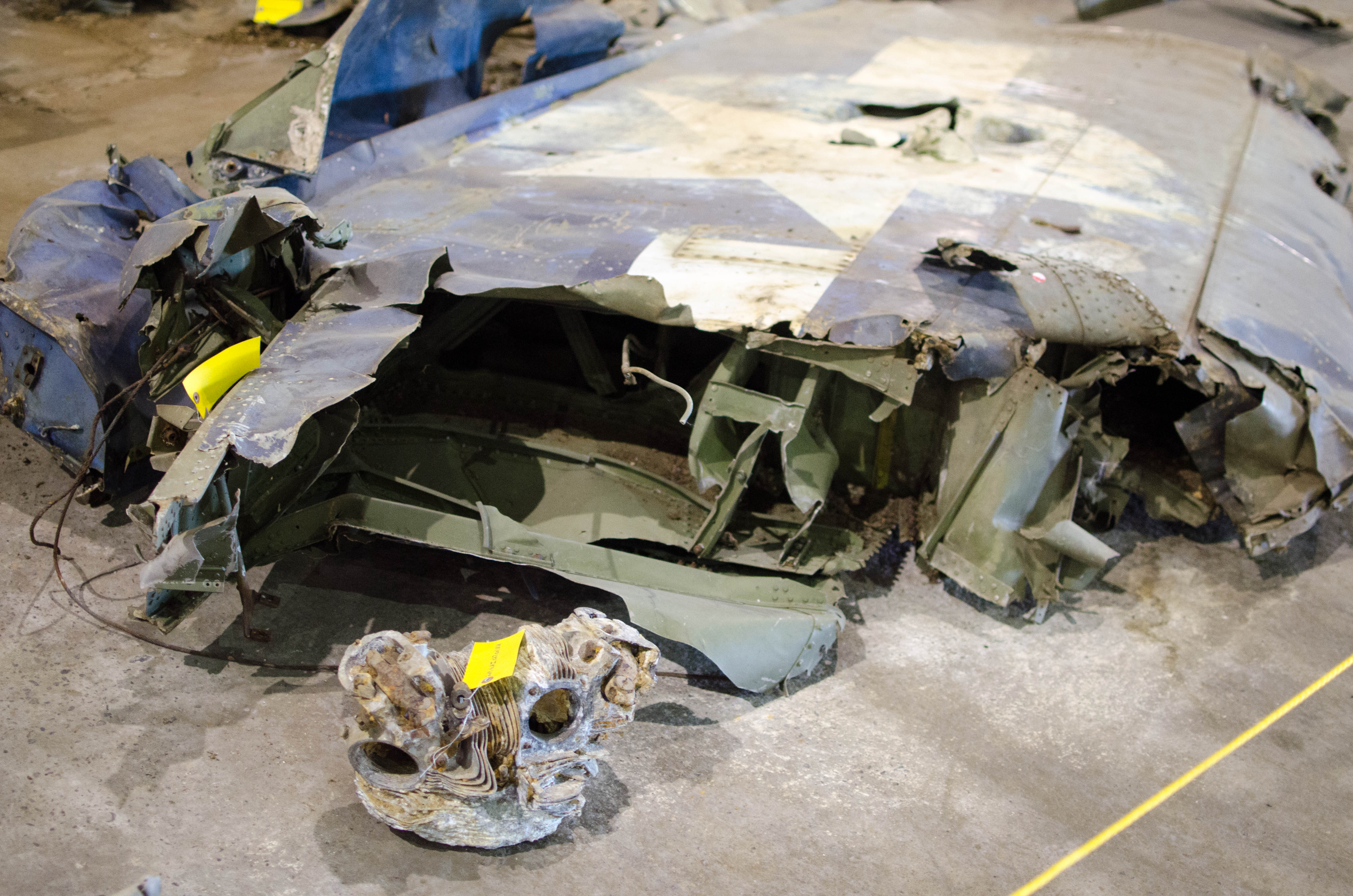
Kind of sad...parts from a wreck. An SB2C-5 Helldiver.
076-DSC_9608.jpg
bigger version
huge

Lots of yellow tags. I assume it's probably NTSB
reconstruction of what the...(more)
078-DSC_9610.jpg
bigger version
huge

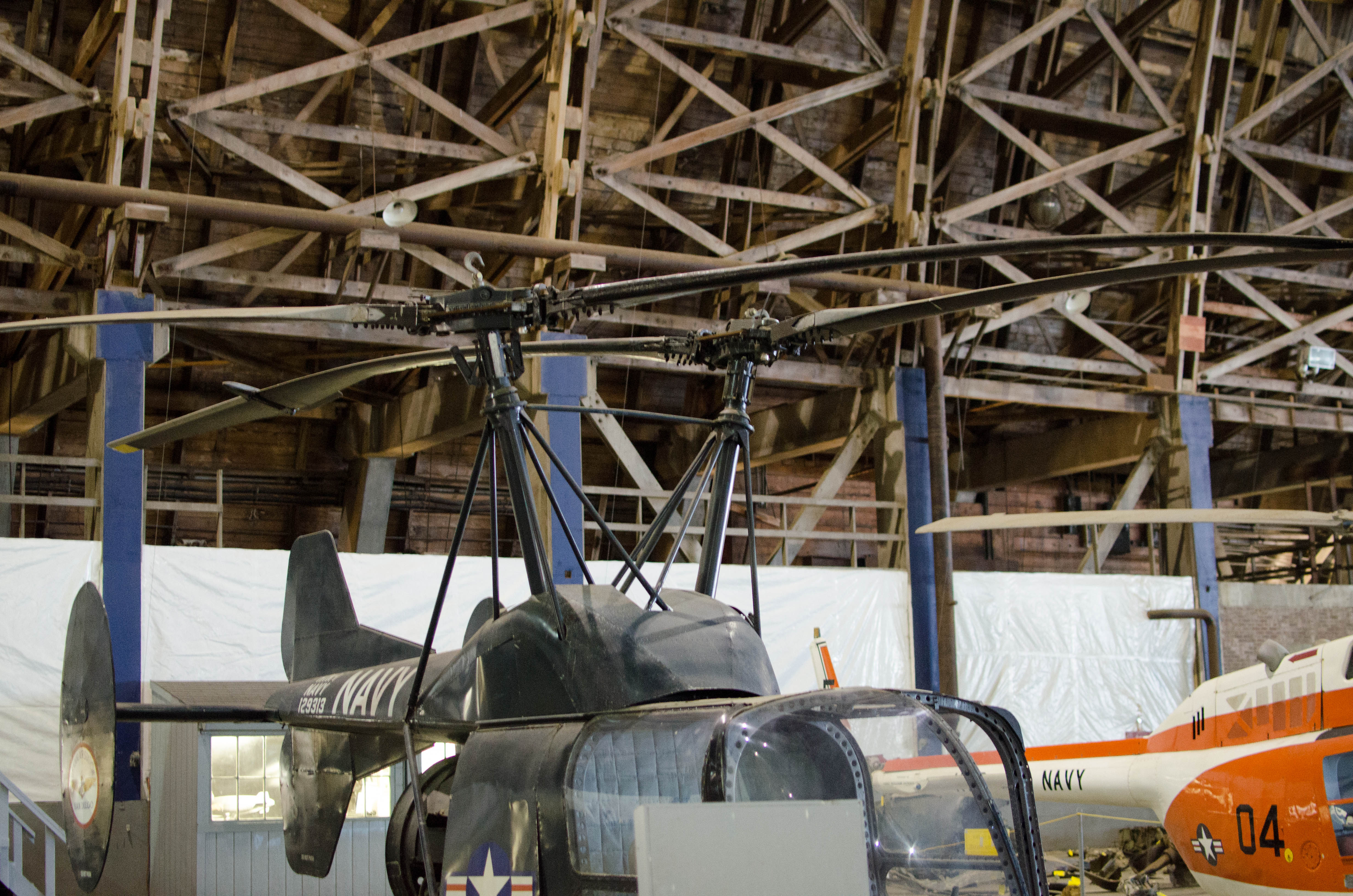
A helicopter with two blades that are next to
each other. I don't understand...(more)
080-DSC_9612.jpg
bigger version
huge

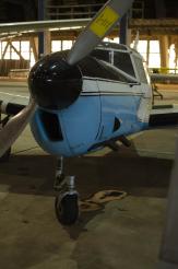
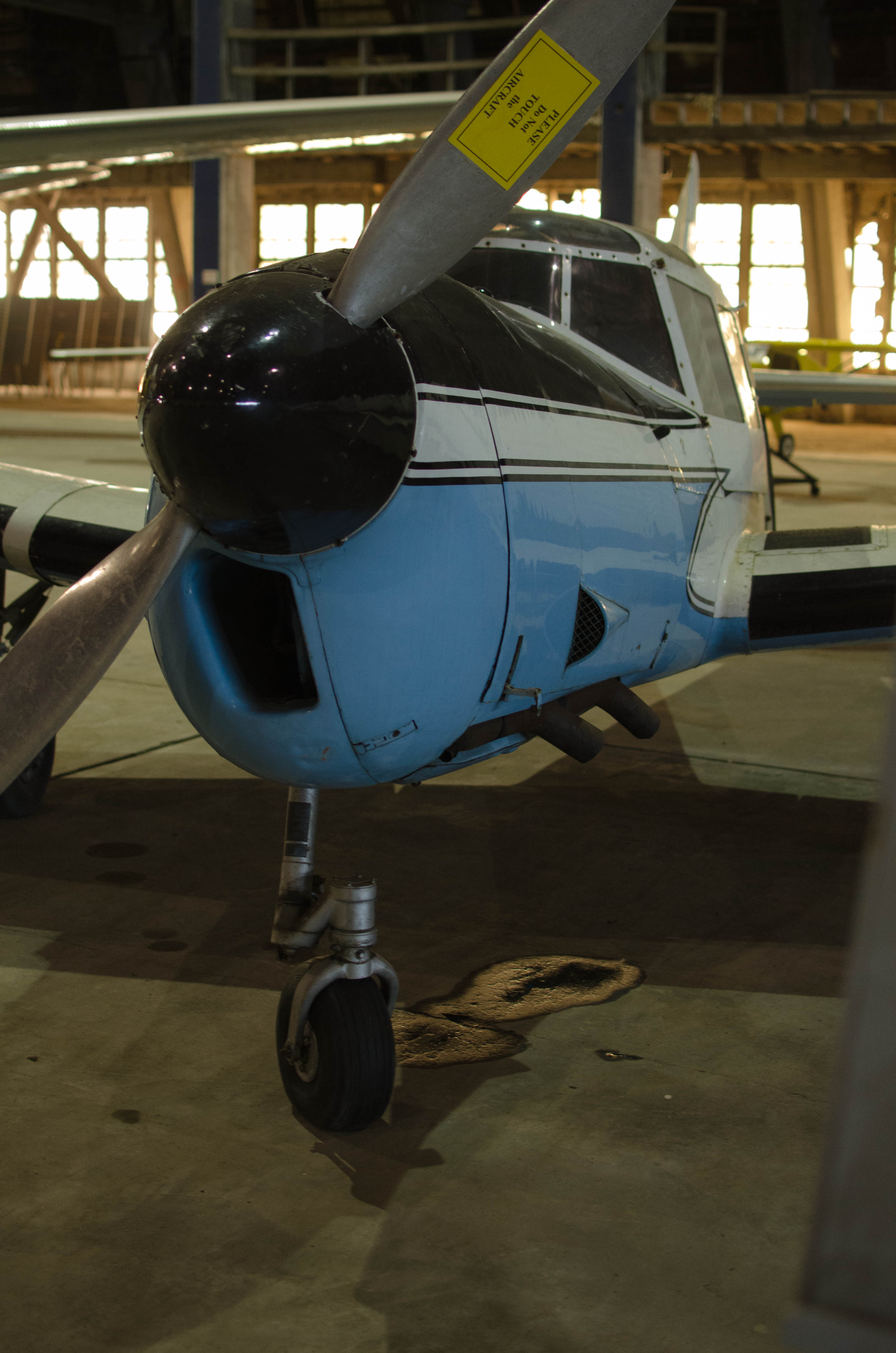
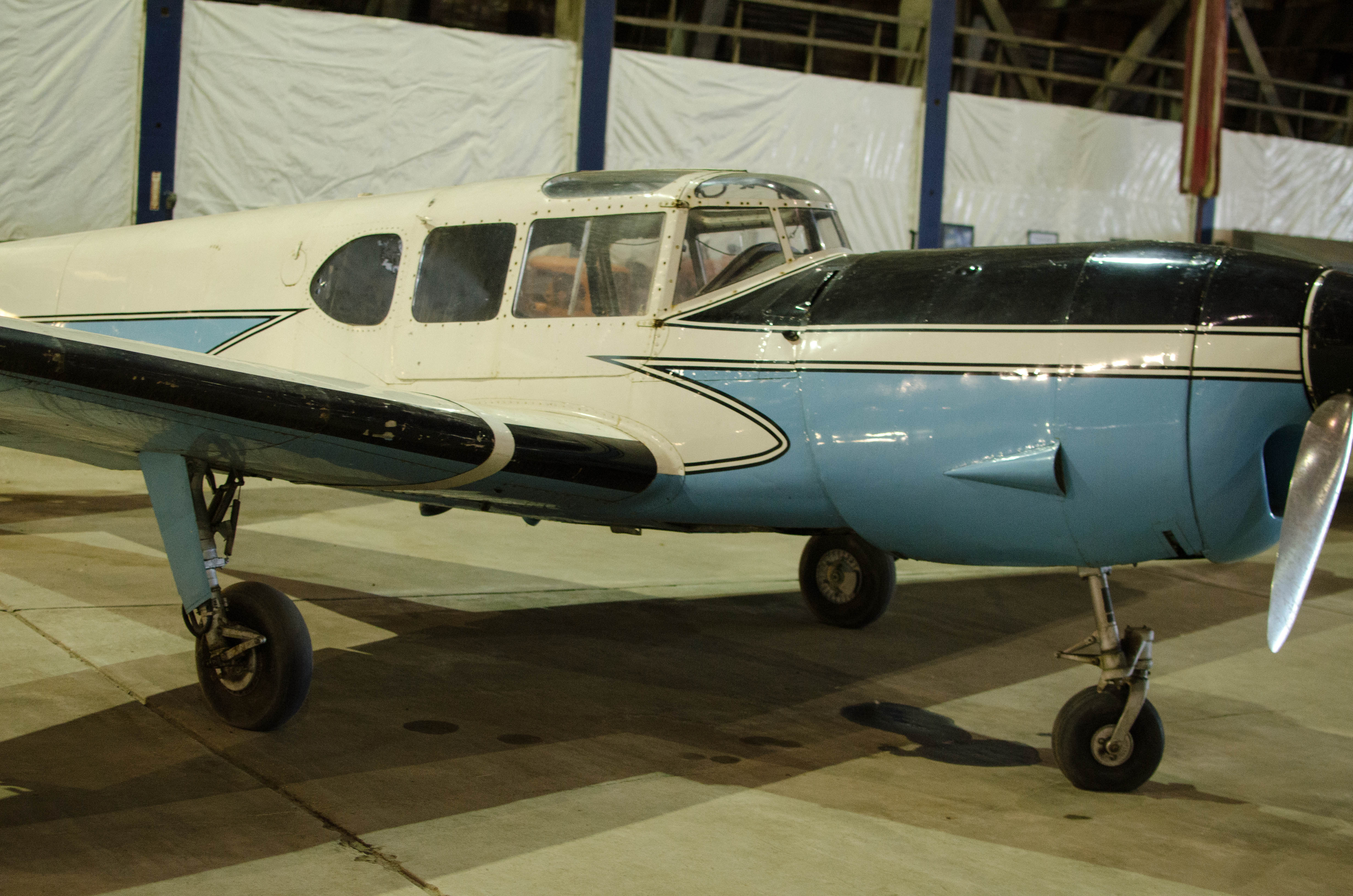
I'm not sure what kind of aircraft this was. The
really long nose suggests...(more)
084-DSC_9616.jpg
bigger version
huge

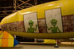
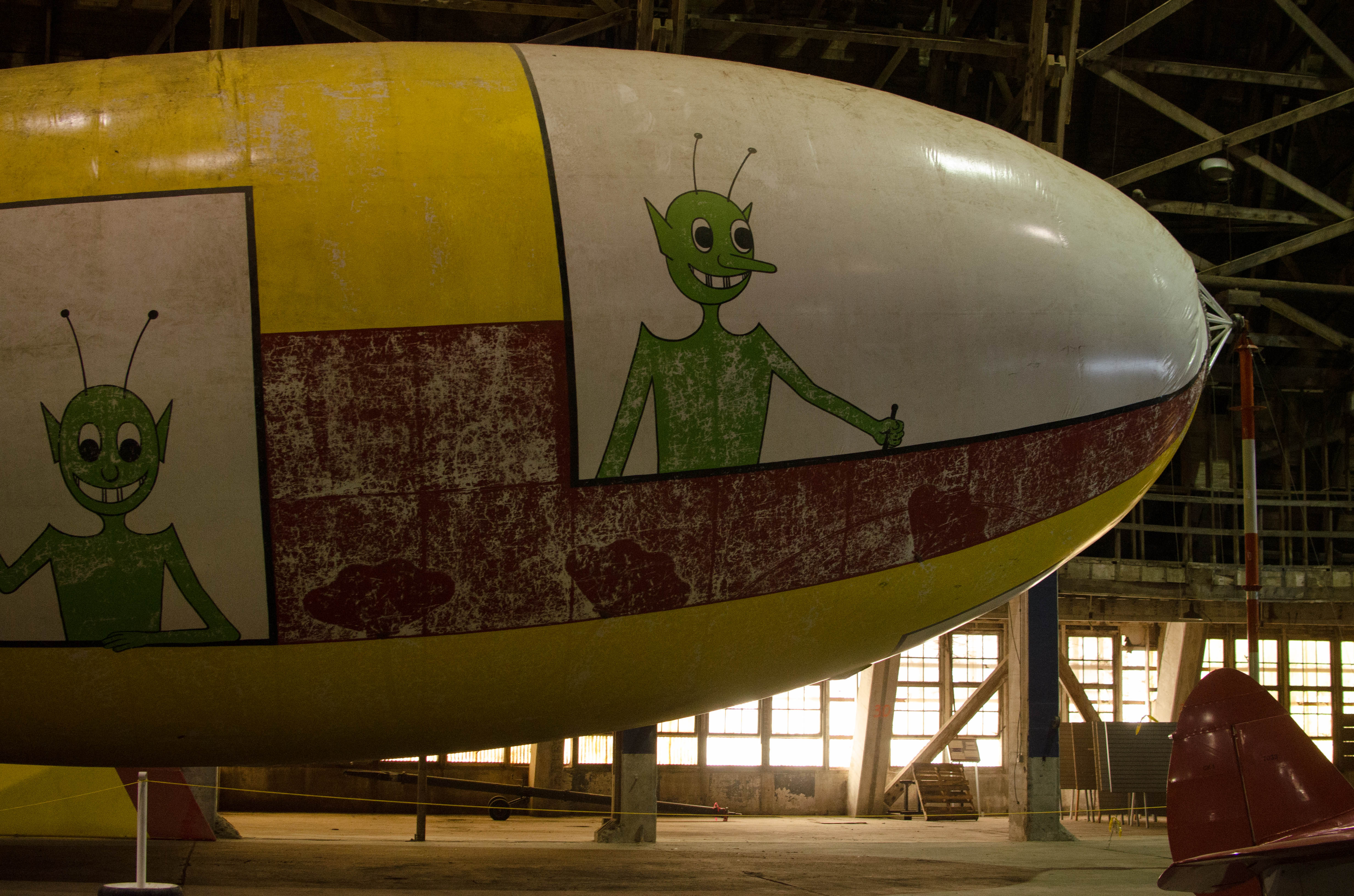
Some sort of airship or balloon, maybe a barrage balloon?
087-DSC_9619.jpg
bigger version
huge
.")
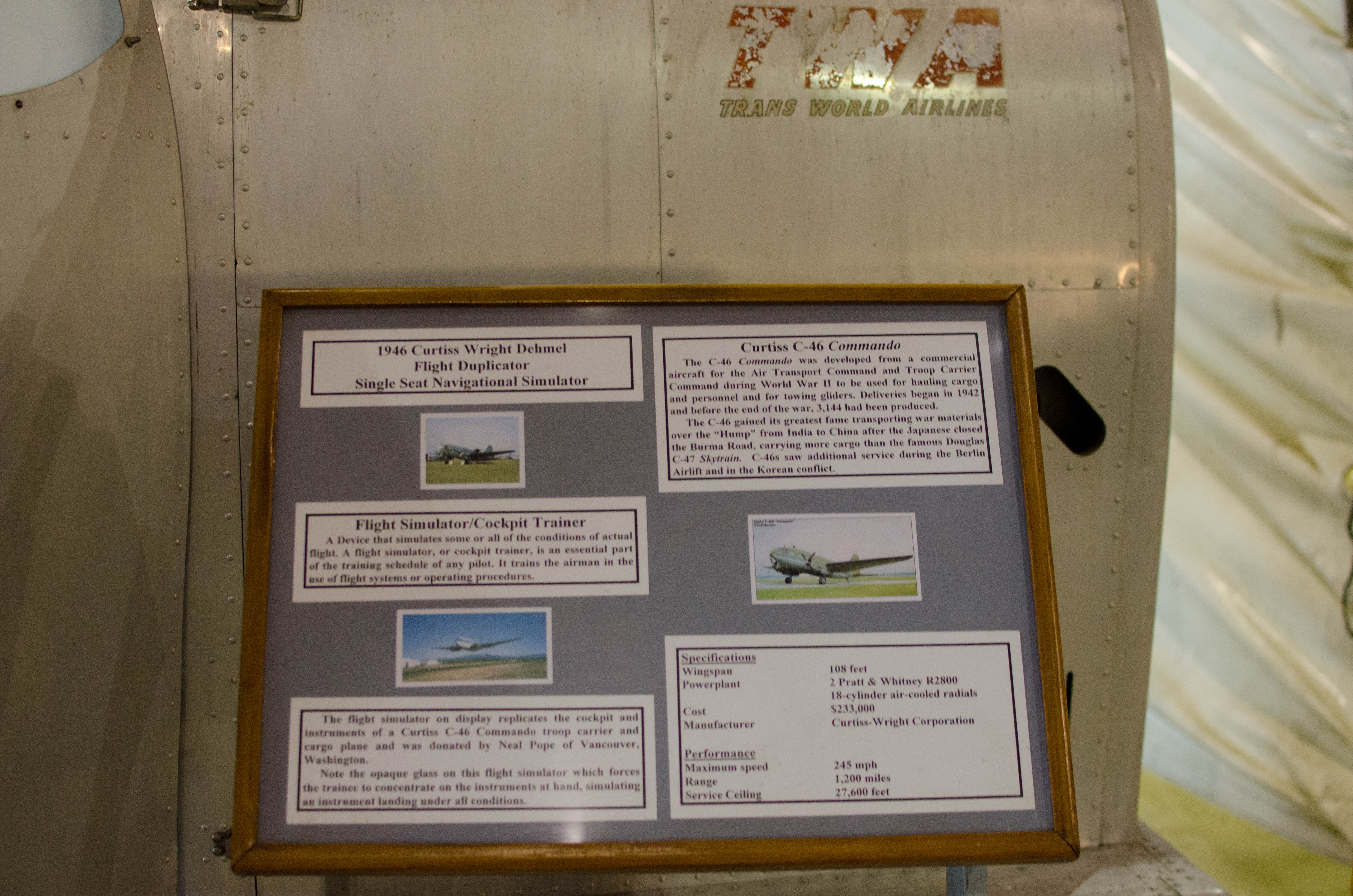
Information on the C-46 simulator (note the worn TWA).
091-DSC_9623.jpg
bigger version
huge

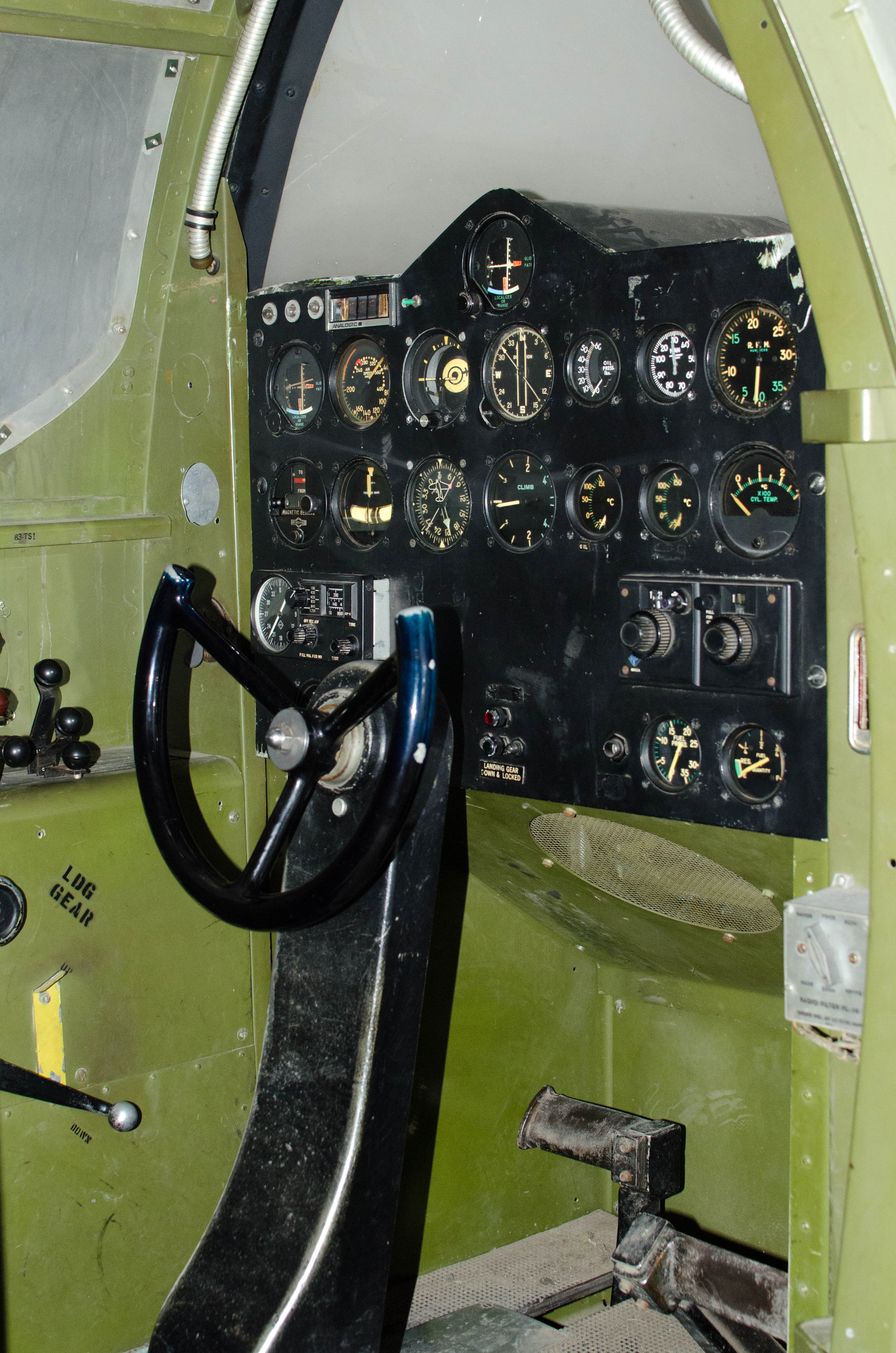
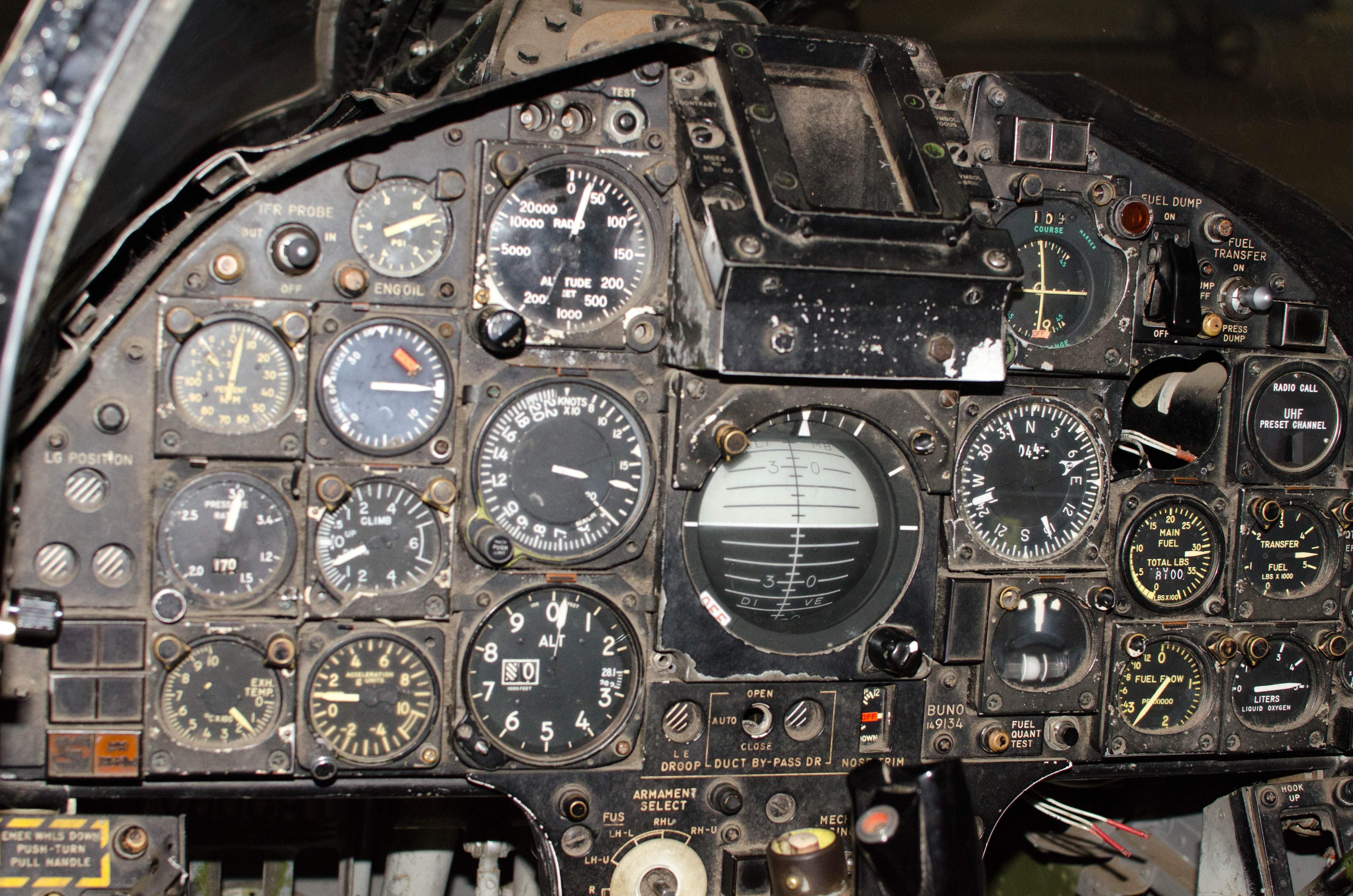
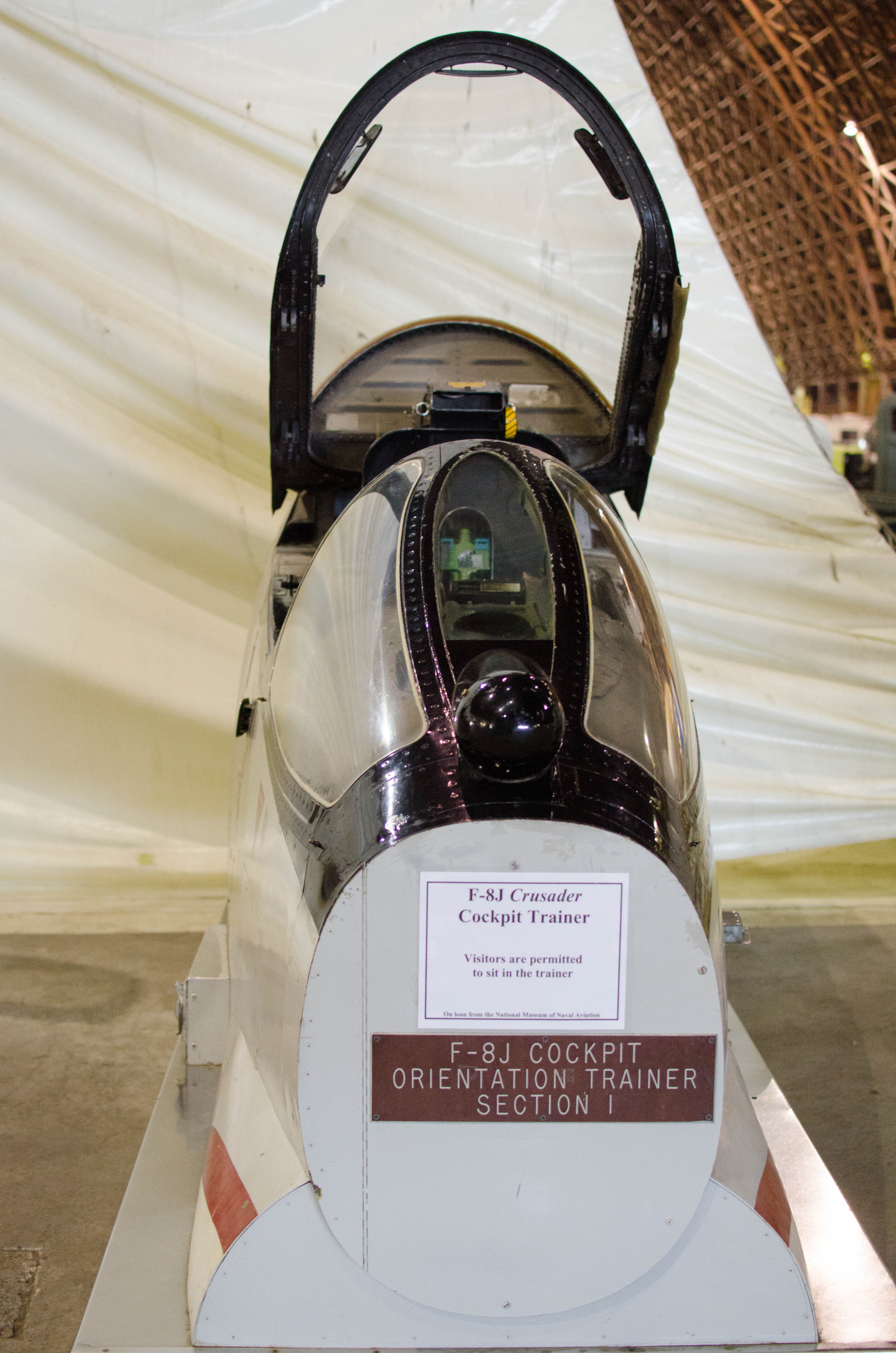
F-8J Cockpit Trainer with a lot of old-school
"steam gauges."
093-DSC_9625.jpg
bigger version
huge

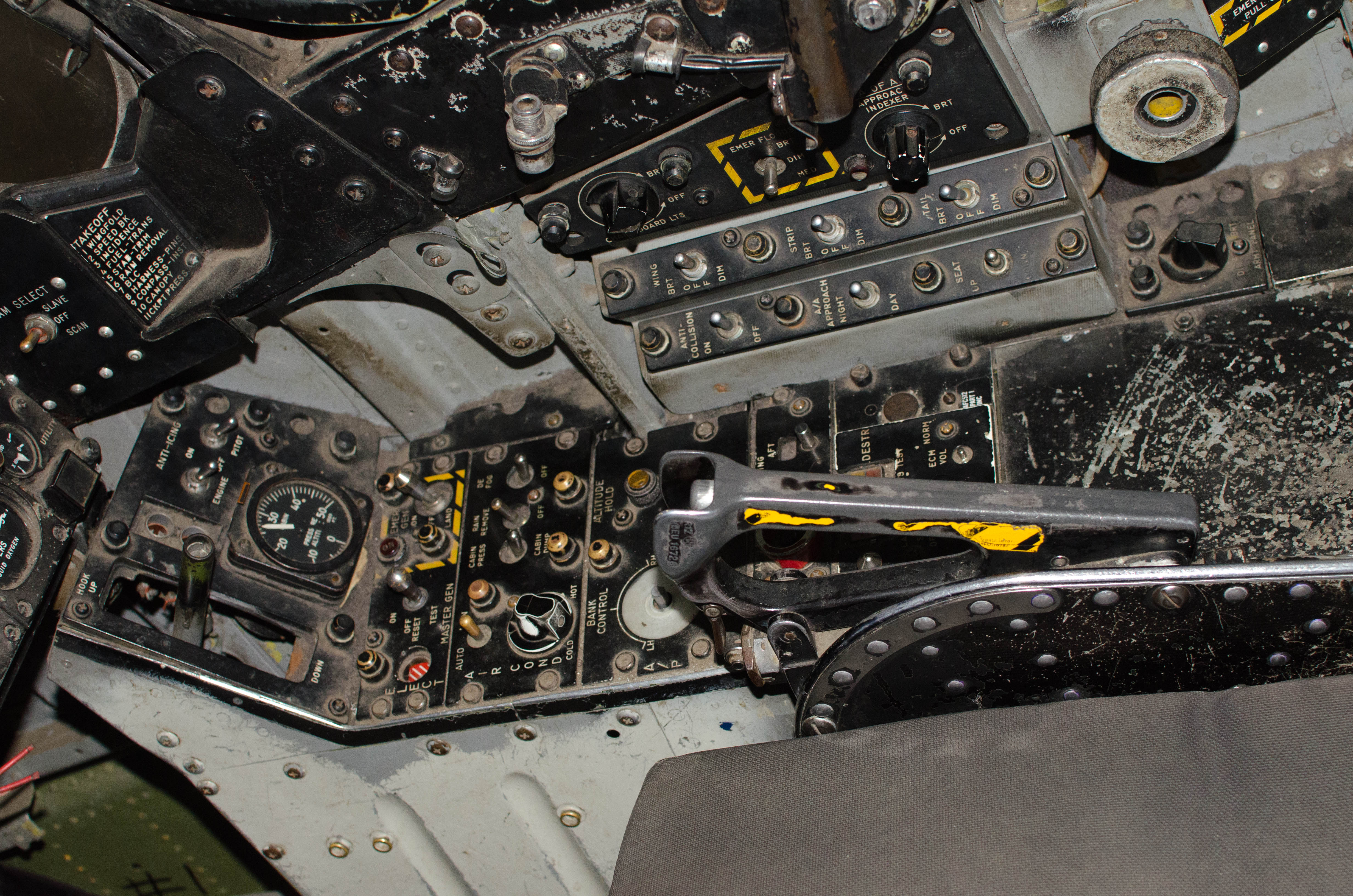
Left side of F-8J Cockpit Trainer with emergency controls
outlined with yellow...(more)
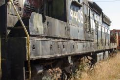
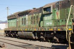
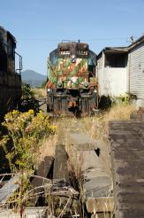
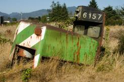
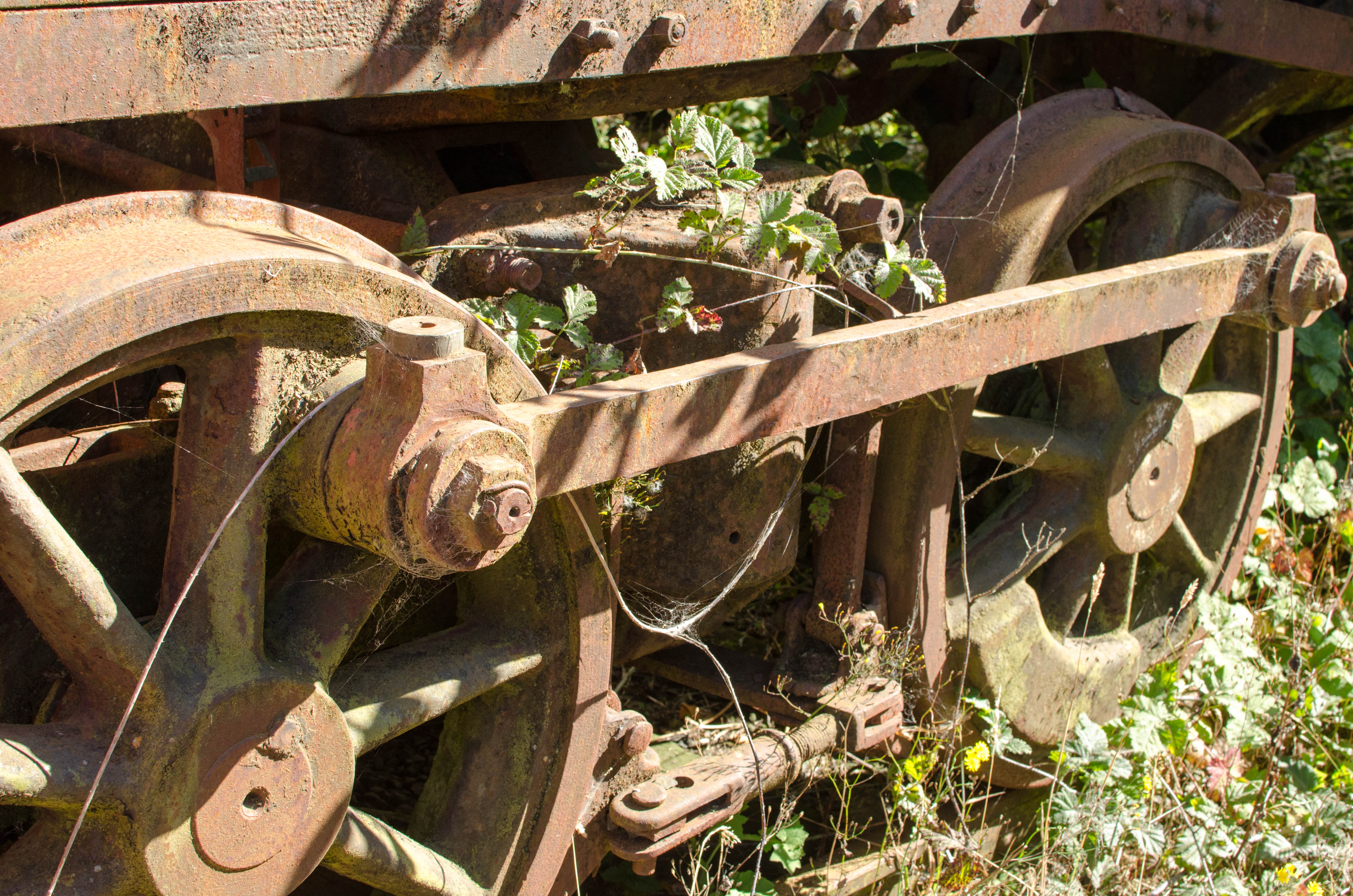
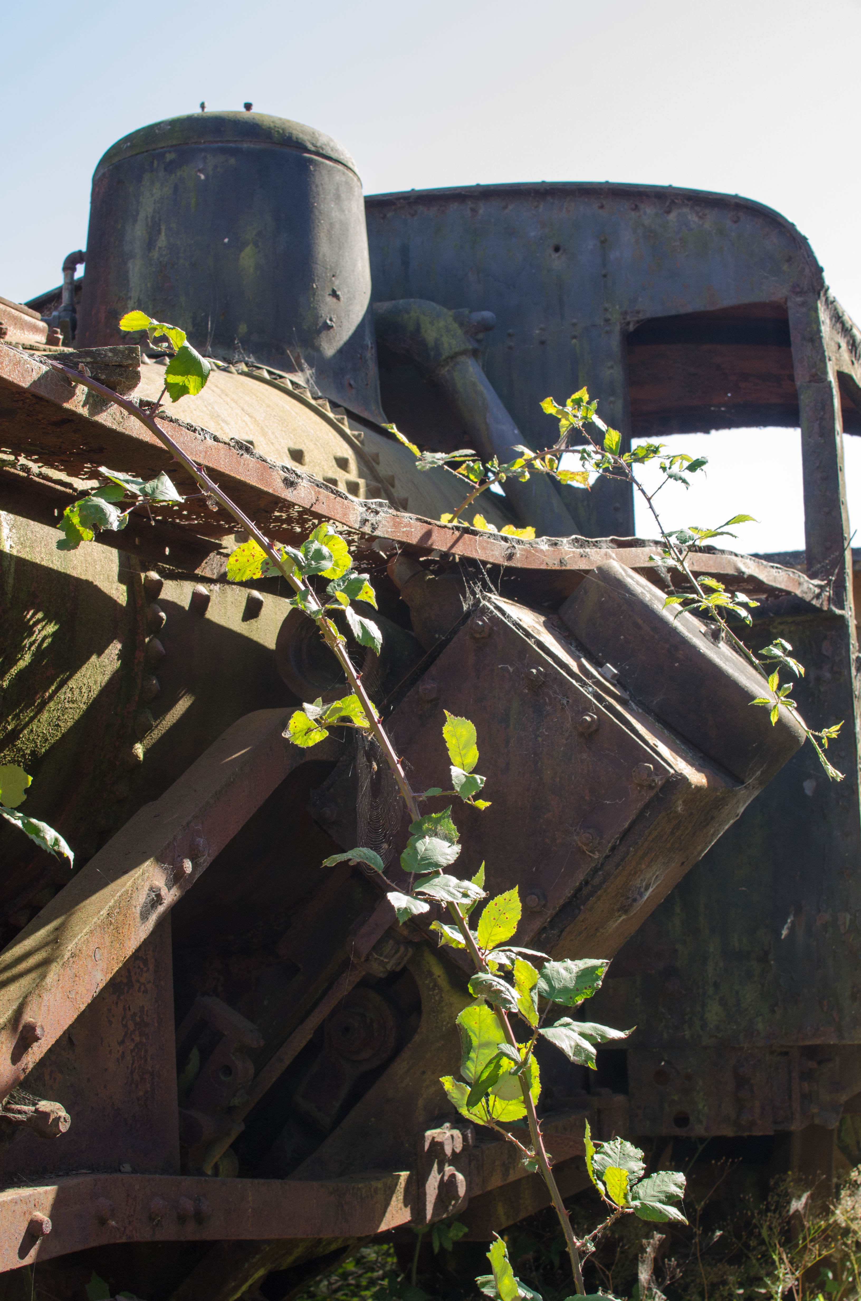
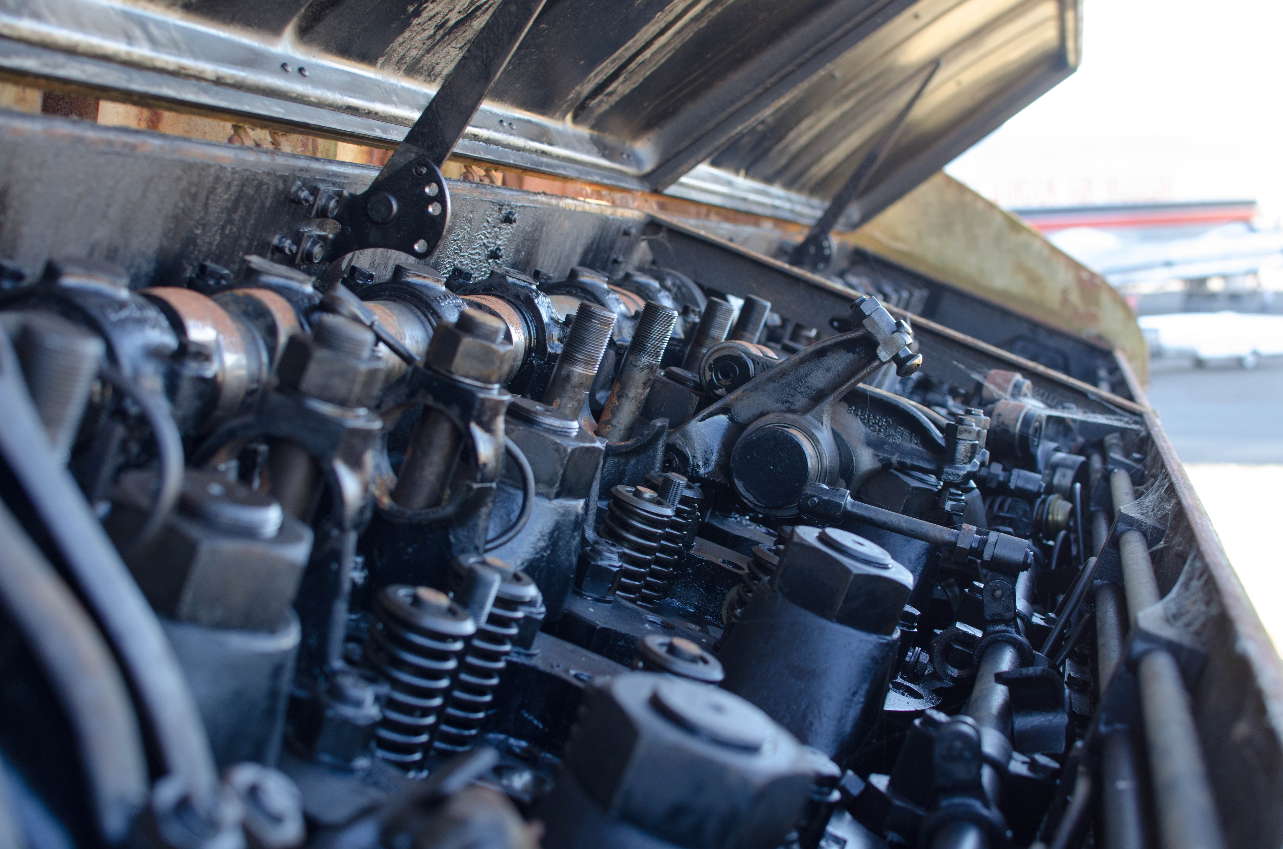
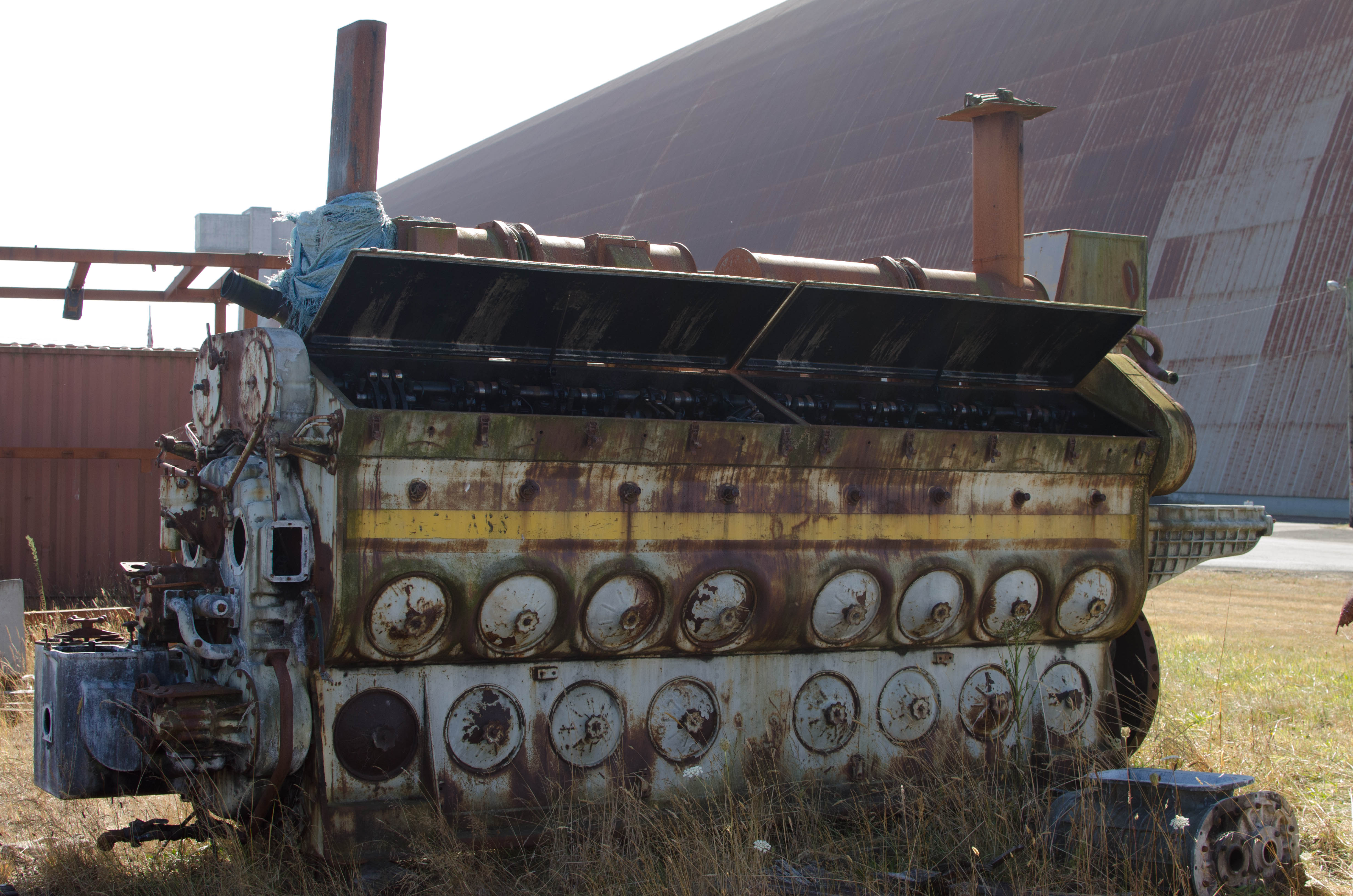
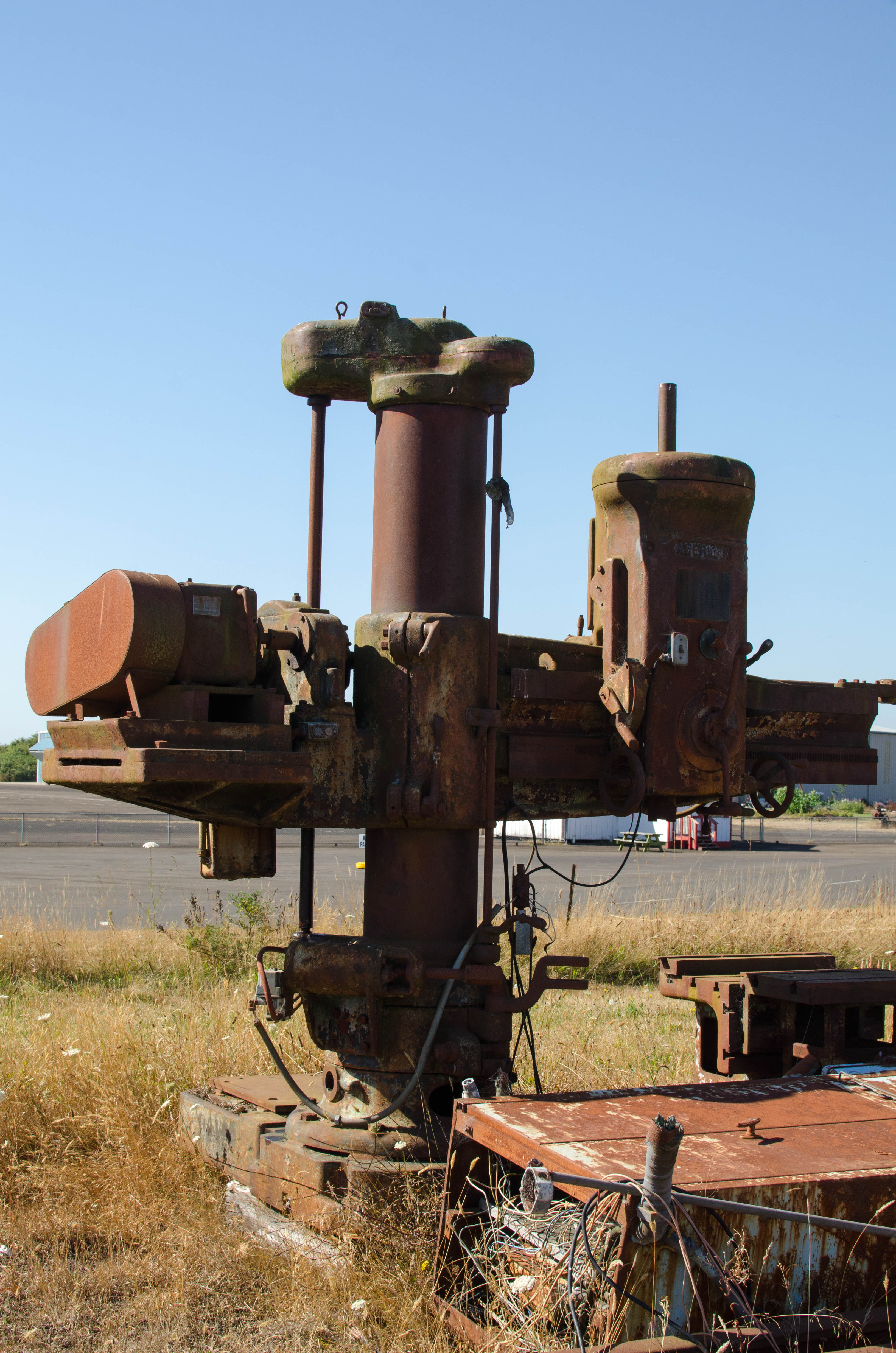
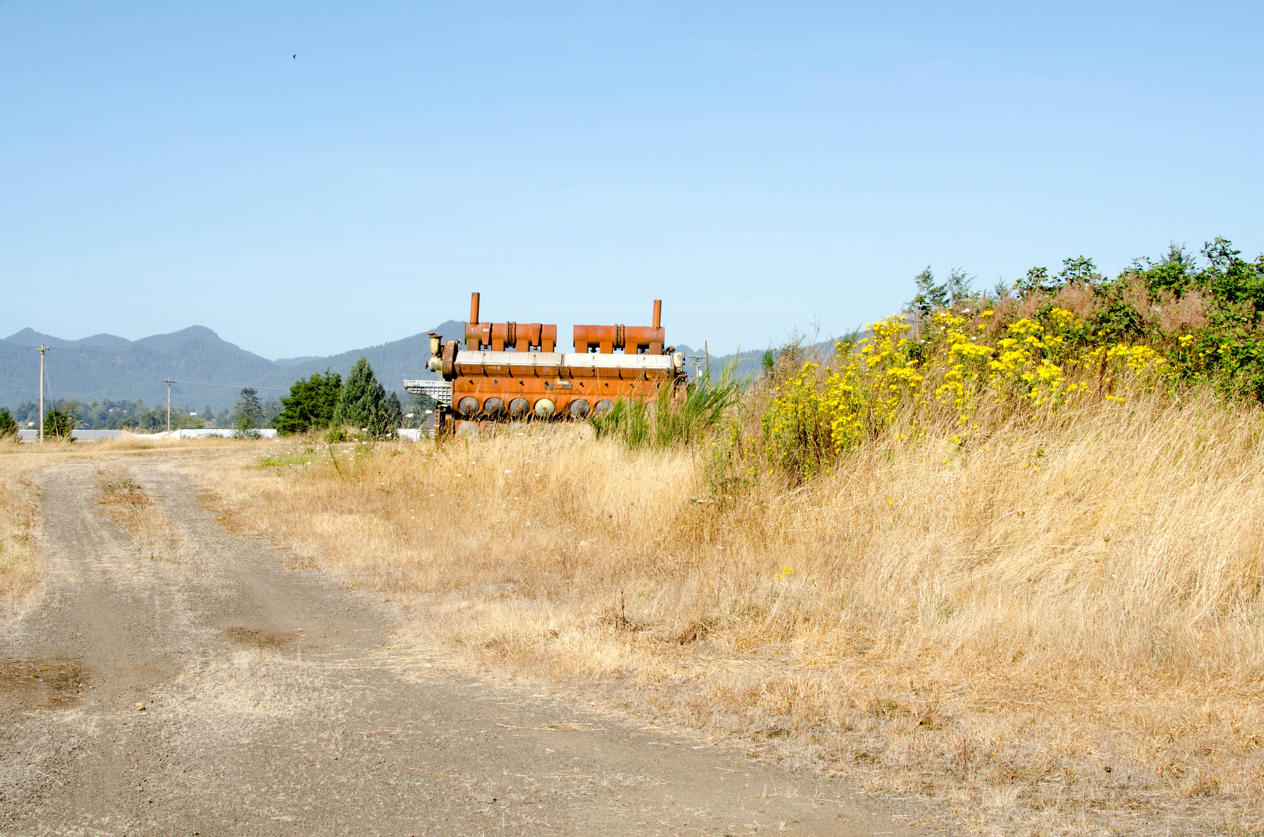
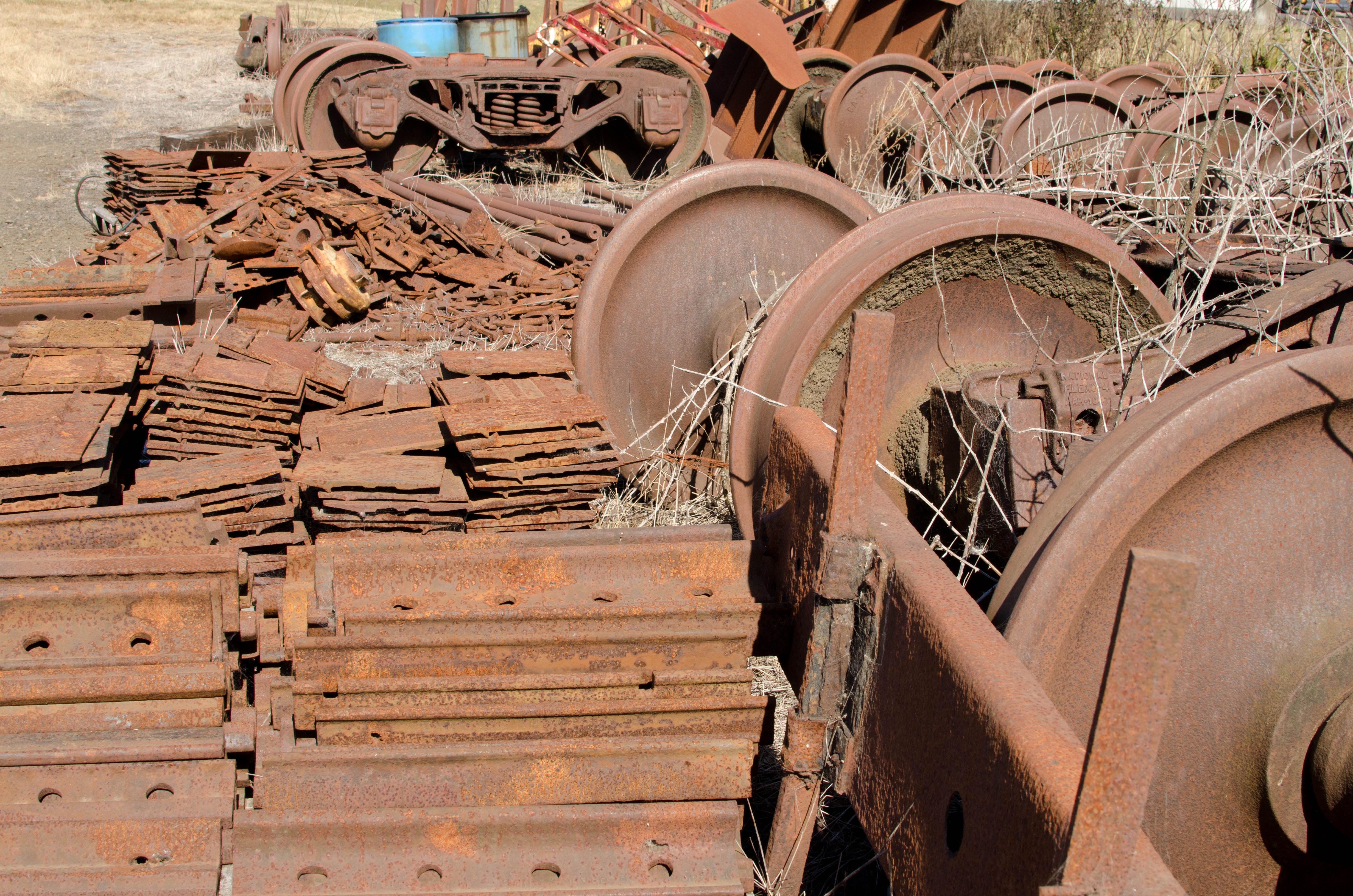
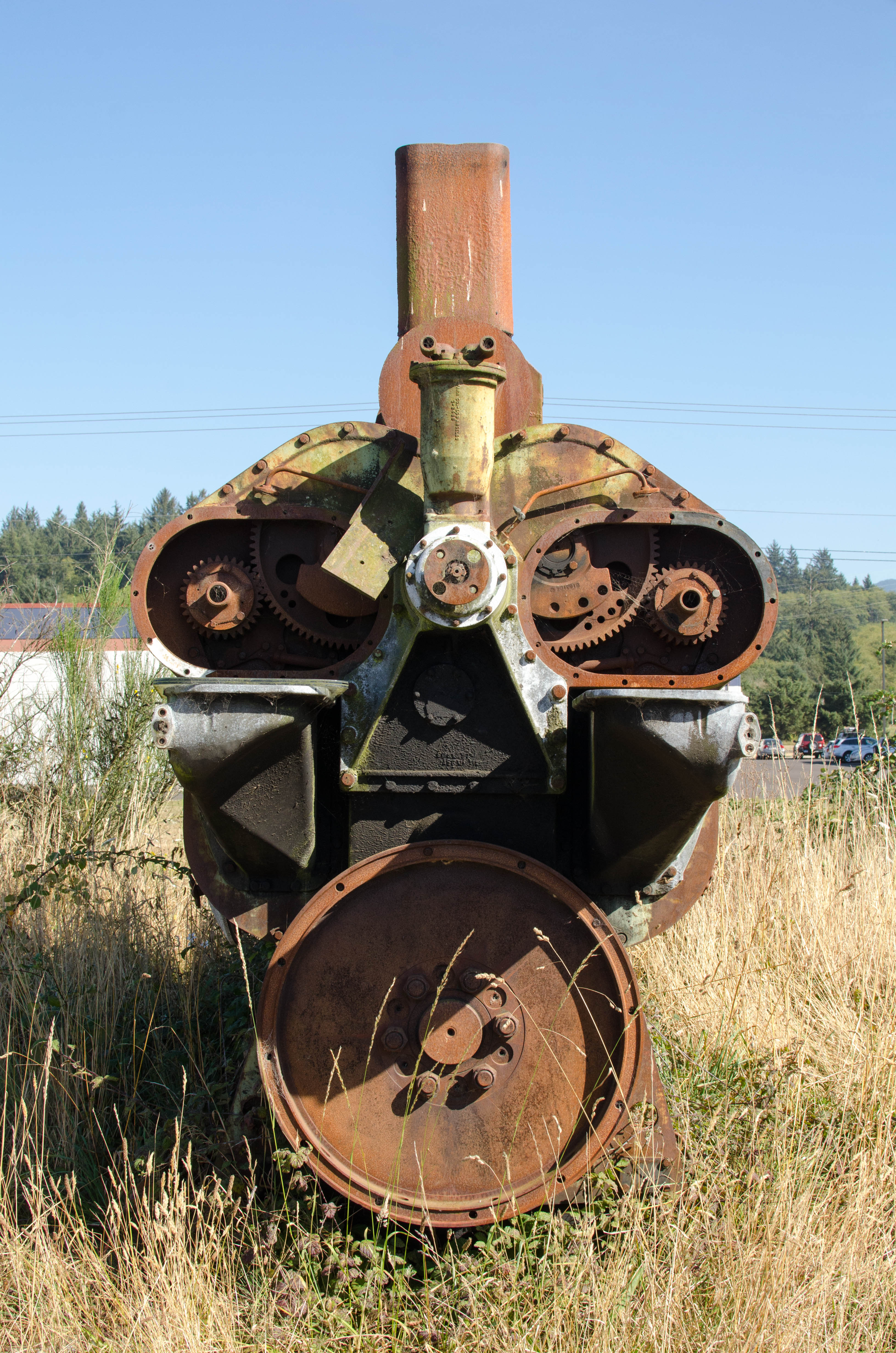
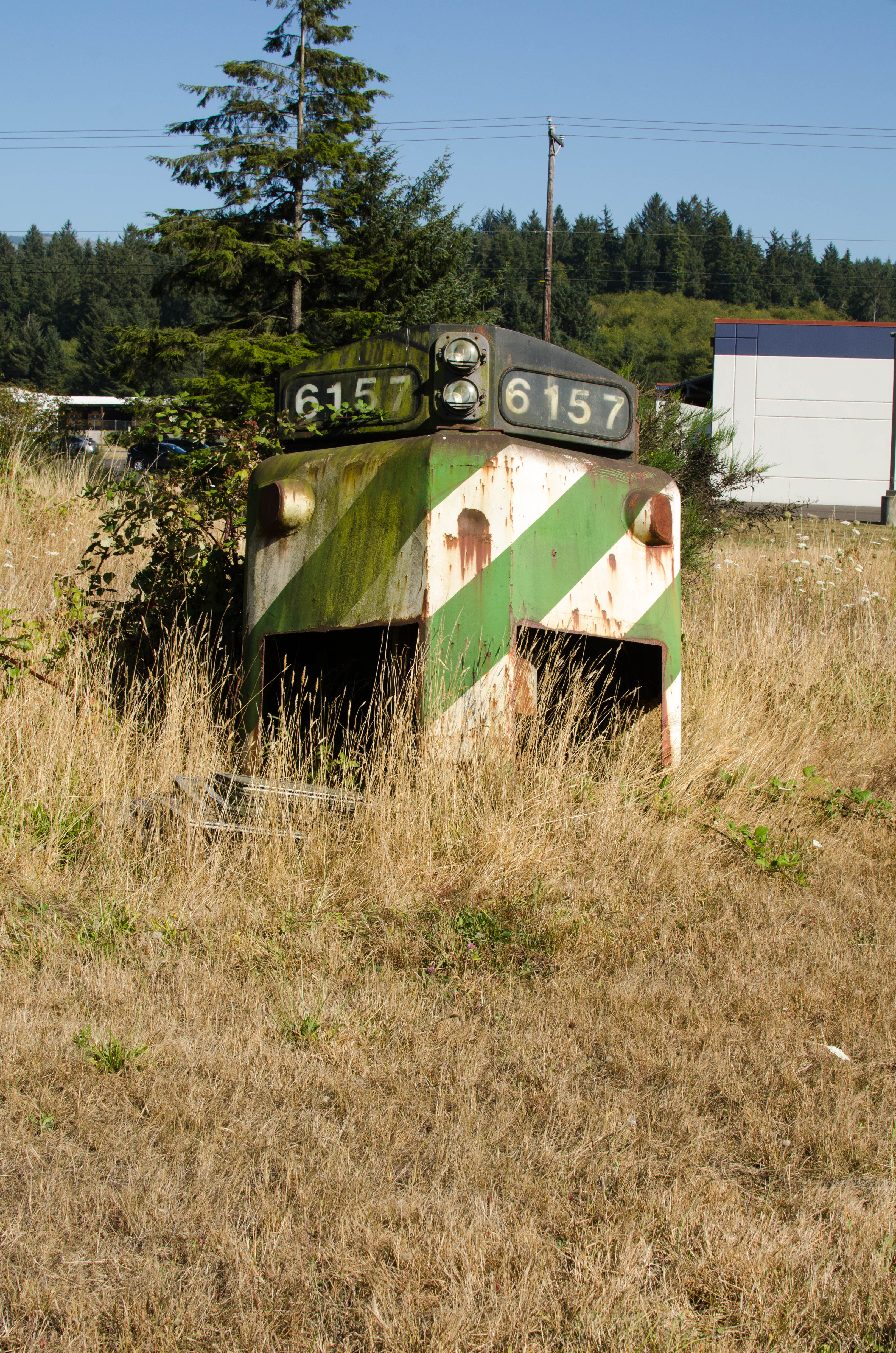
NAST: Trains and more
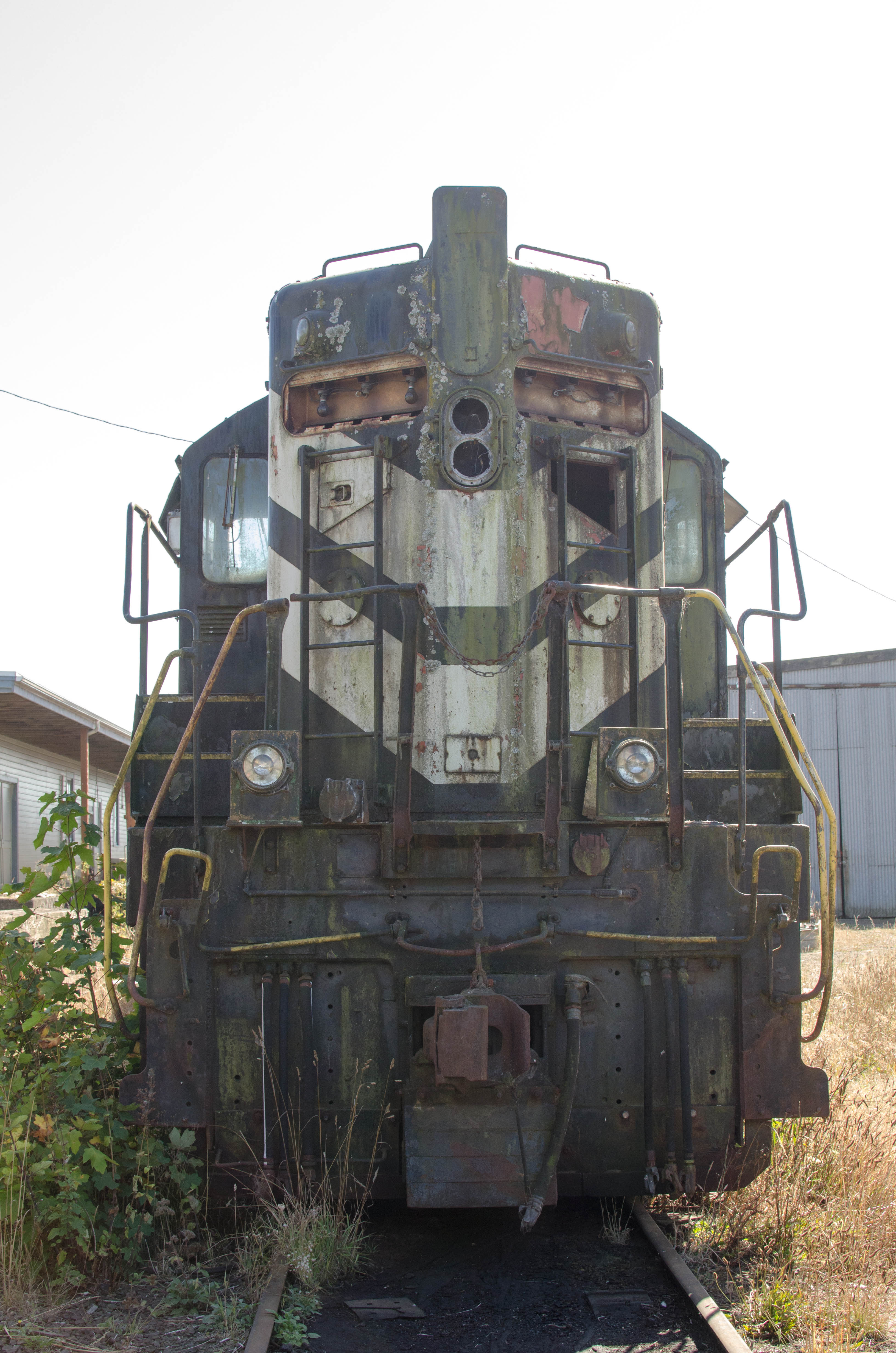
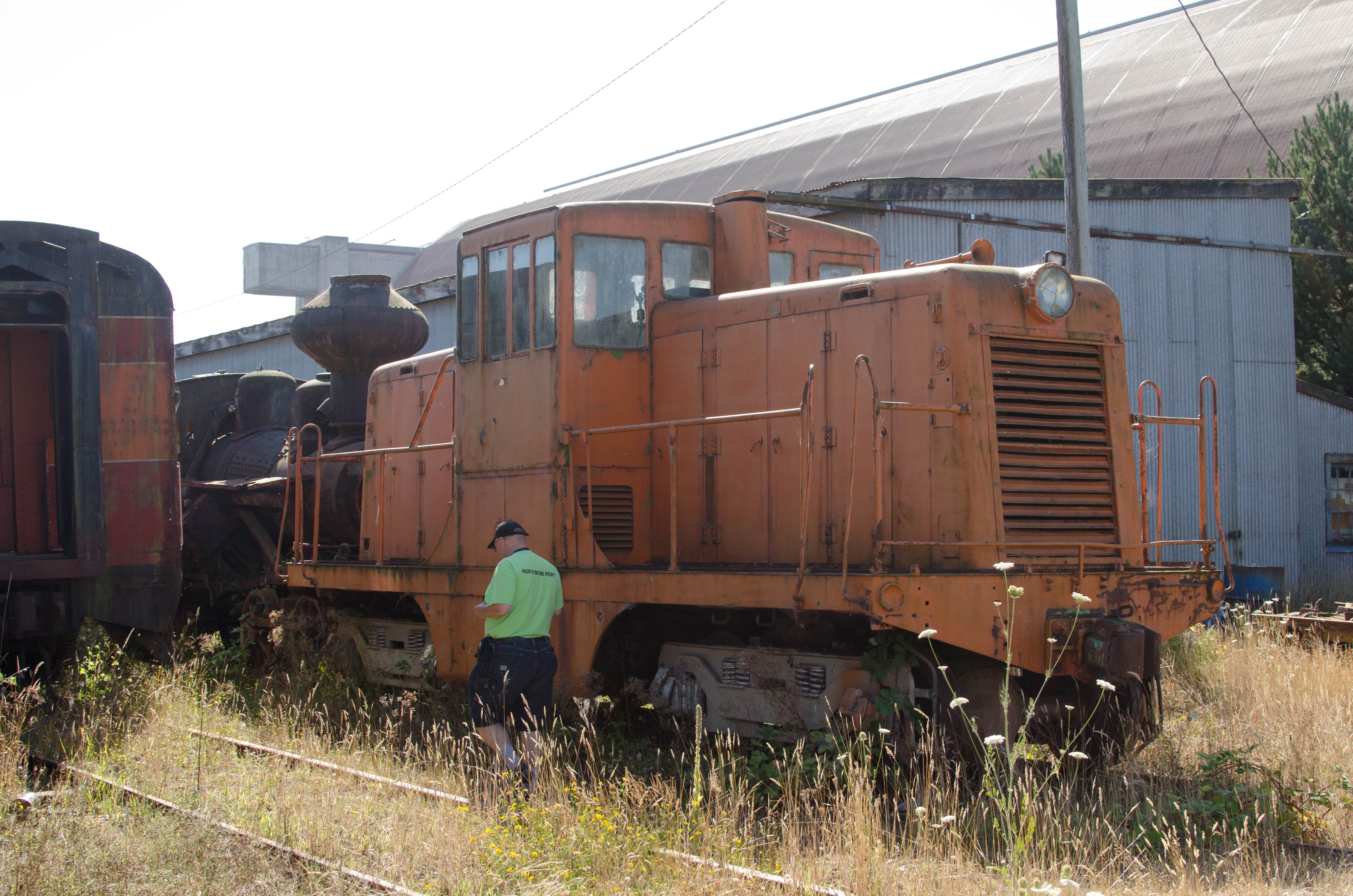
Just beyond the Air Musuem was a train yard.
There were several old trains parked there, looking like they had been
there for quite some time. Beyond that was a field where there was
spare parts and junk: wheels, engines, frame or body of a car.
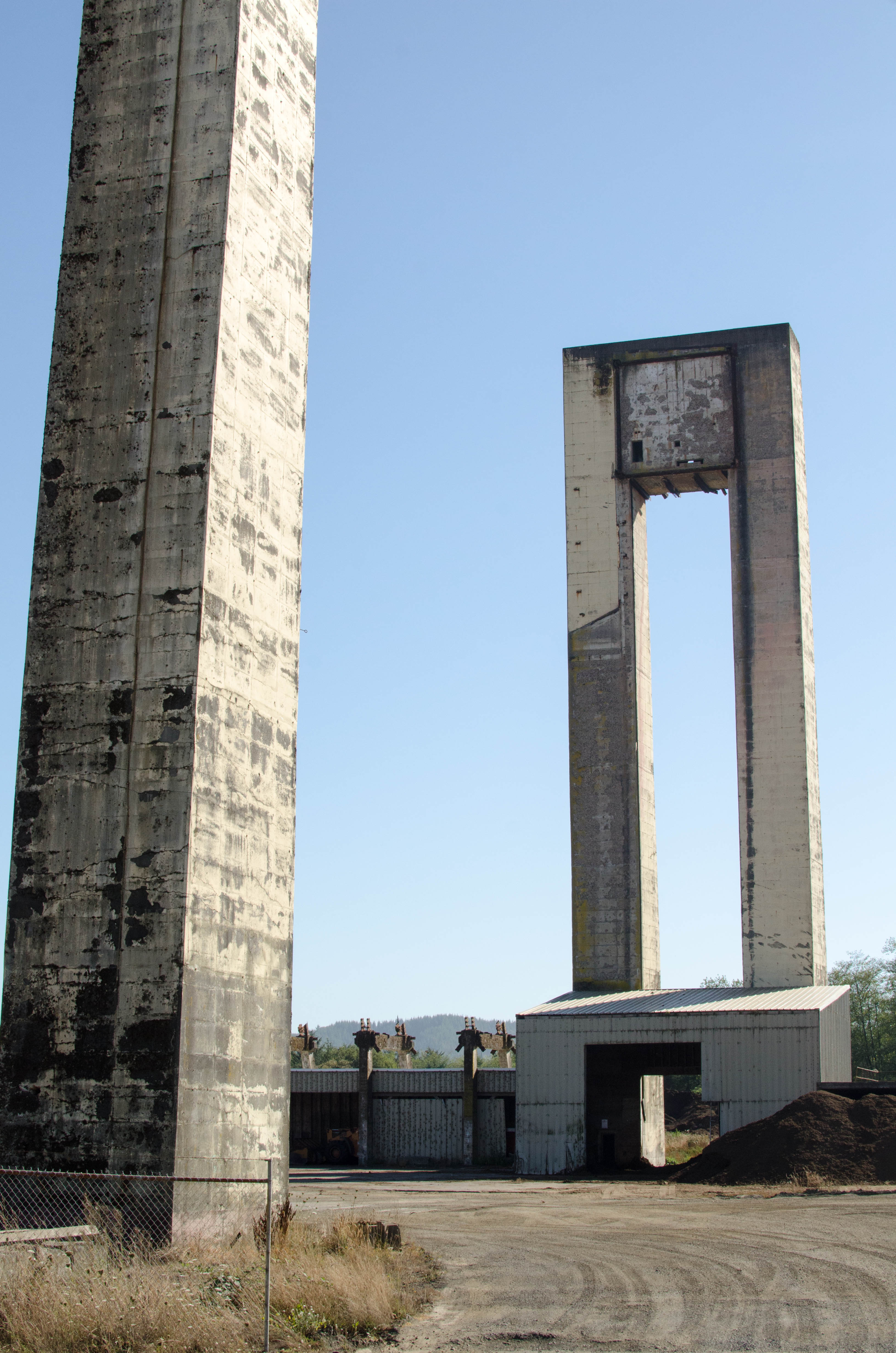
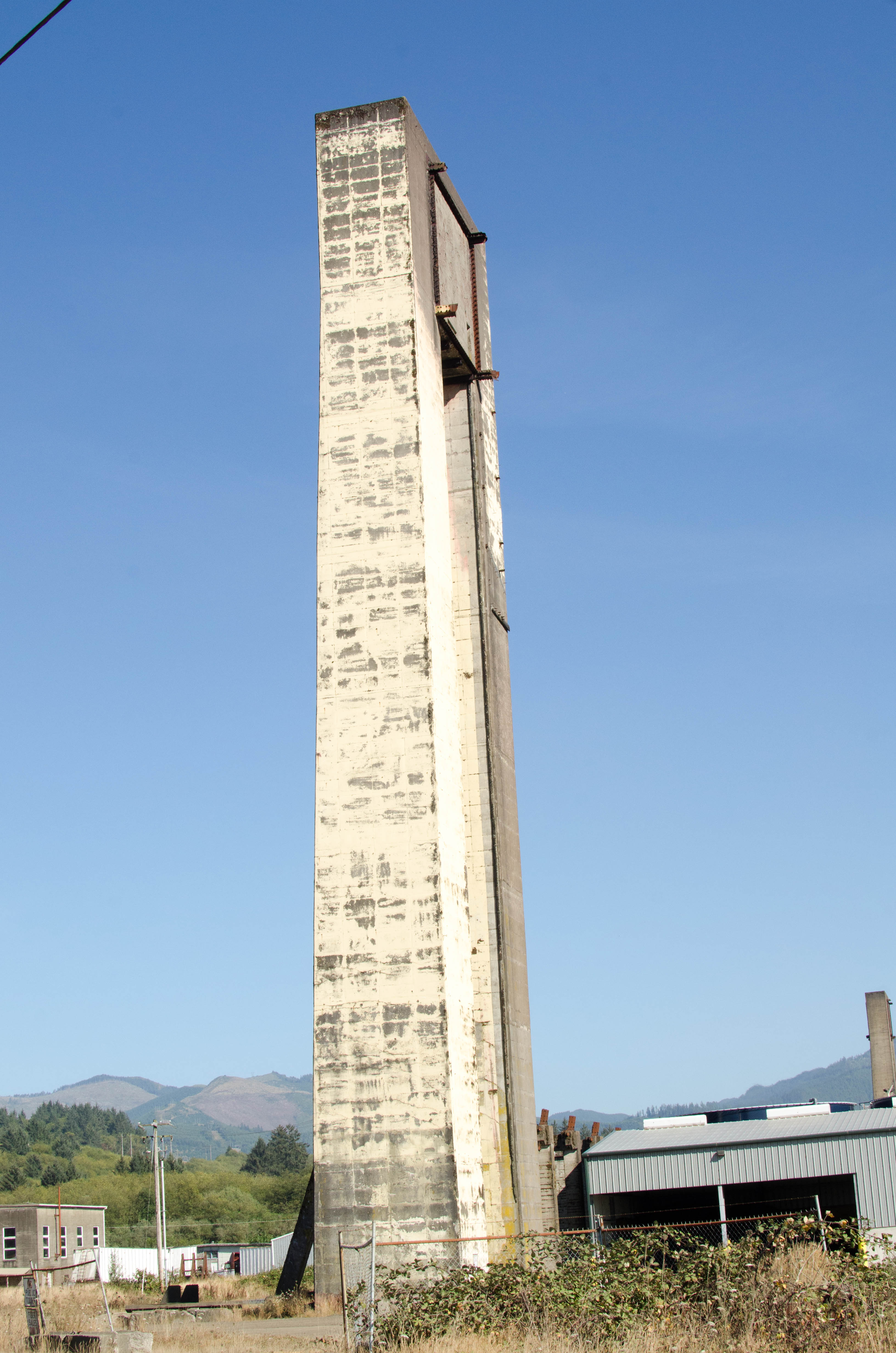
Finally, we drove by the remains of Hangar A, which was destroyed in
a fire in 1992 and all that remains are the giagantic doorposts. The
space that would have been inside is used for something else now.
105-DSC_9637.jpg
bigger version
huge

Front of the train with plants growing on and through it.
115-DSC_9652.jpg
bigger version
huge

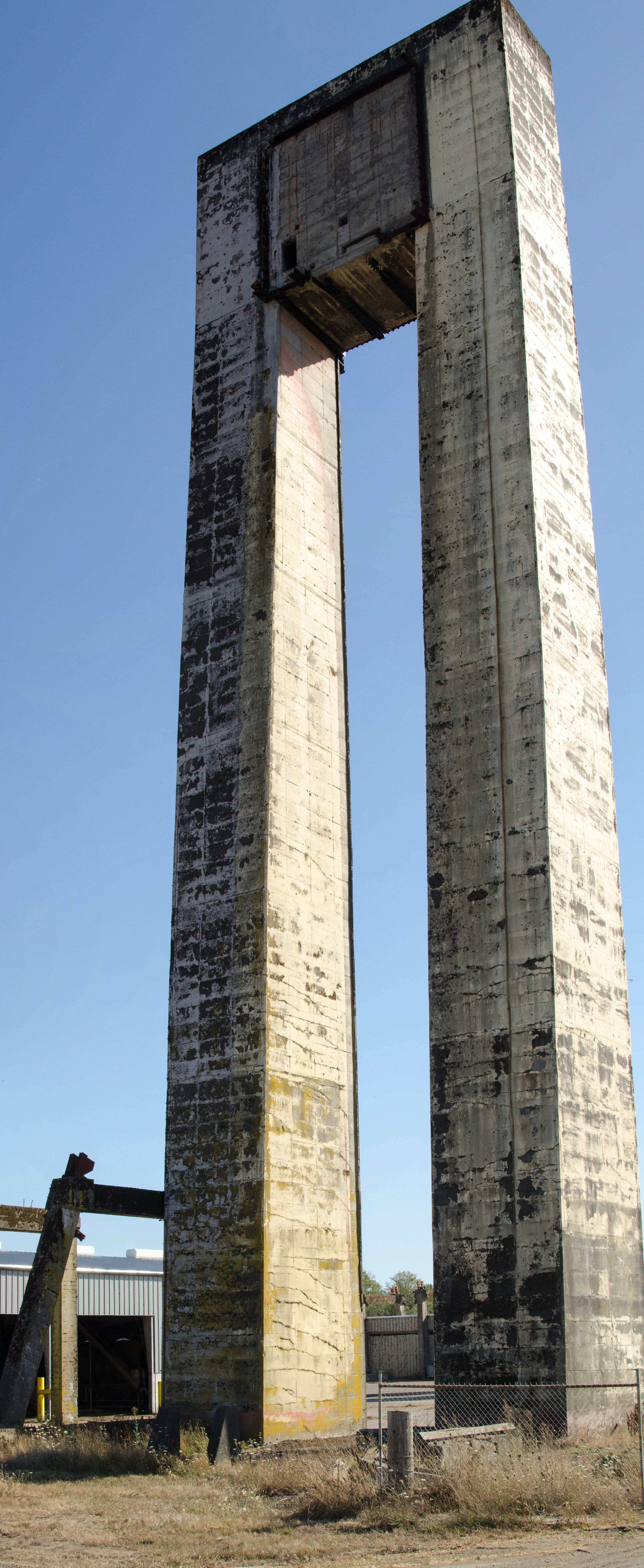
The two doorframes from Hangar A, the only thing that survived
the fire that...(more)
116-DSC_9653.jpg
bigger version
huge

The only thing remaining of Hangar A after the fire:
the concrete doorframe.
117a-doorframe_Panor...
bigger version
huge

Vertical panorama of remains of Hangar A doorframe.
This page last modified Sep 24, 2016.
Home

feed


