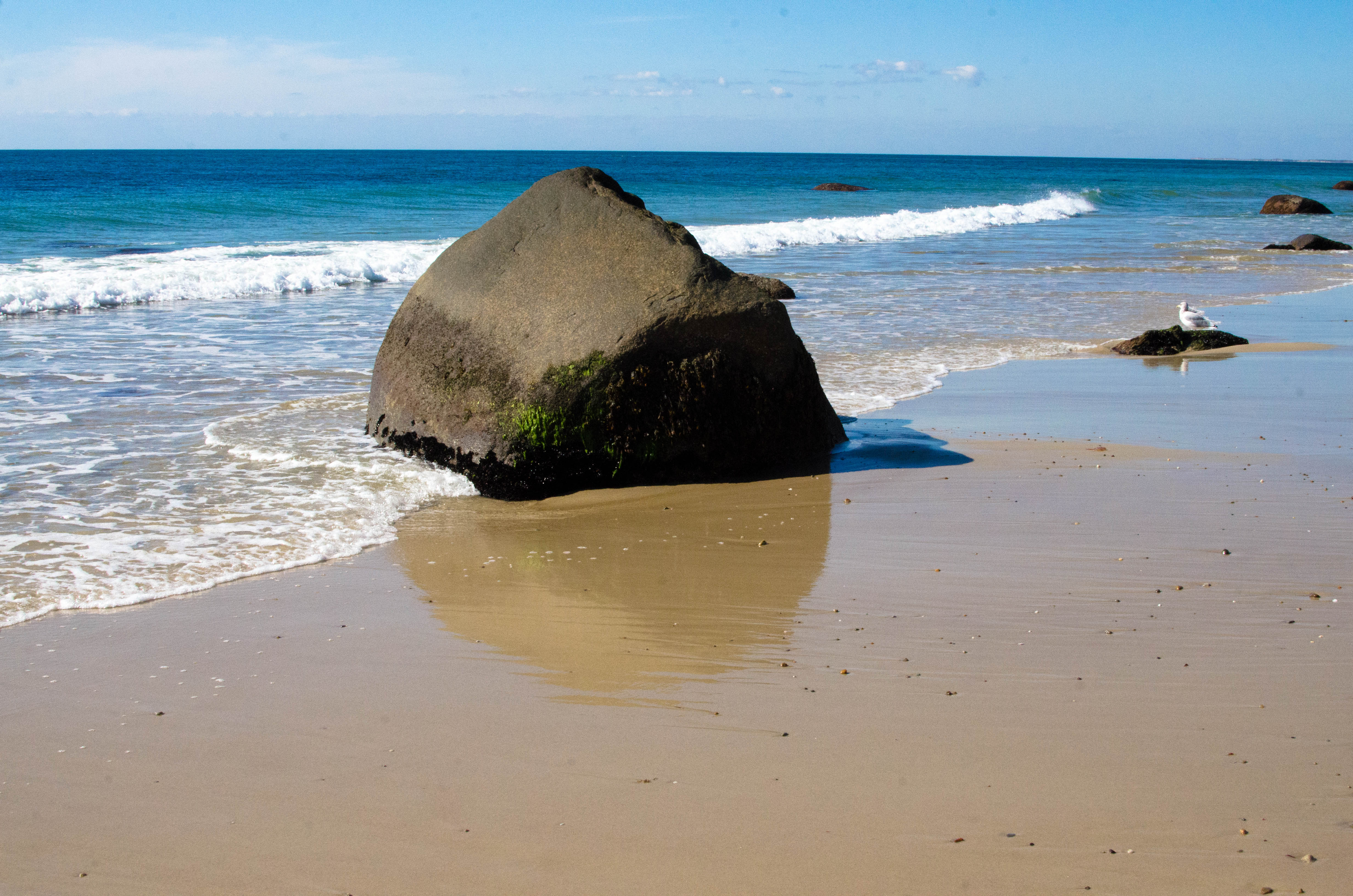
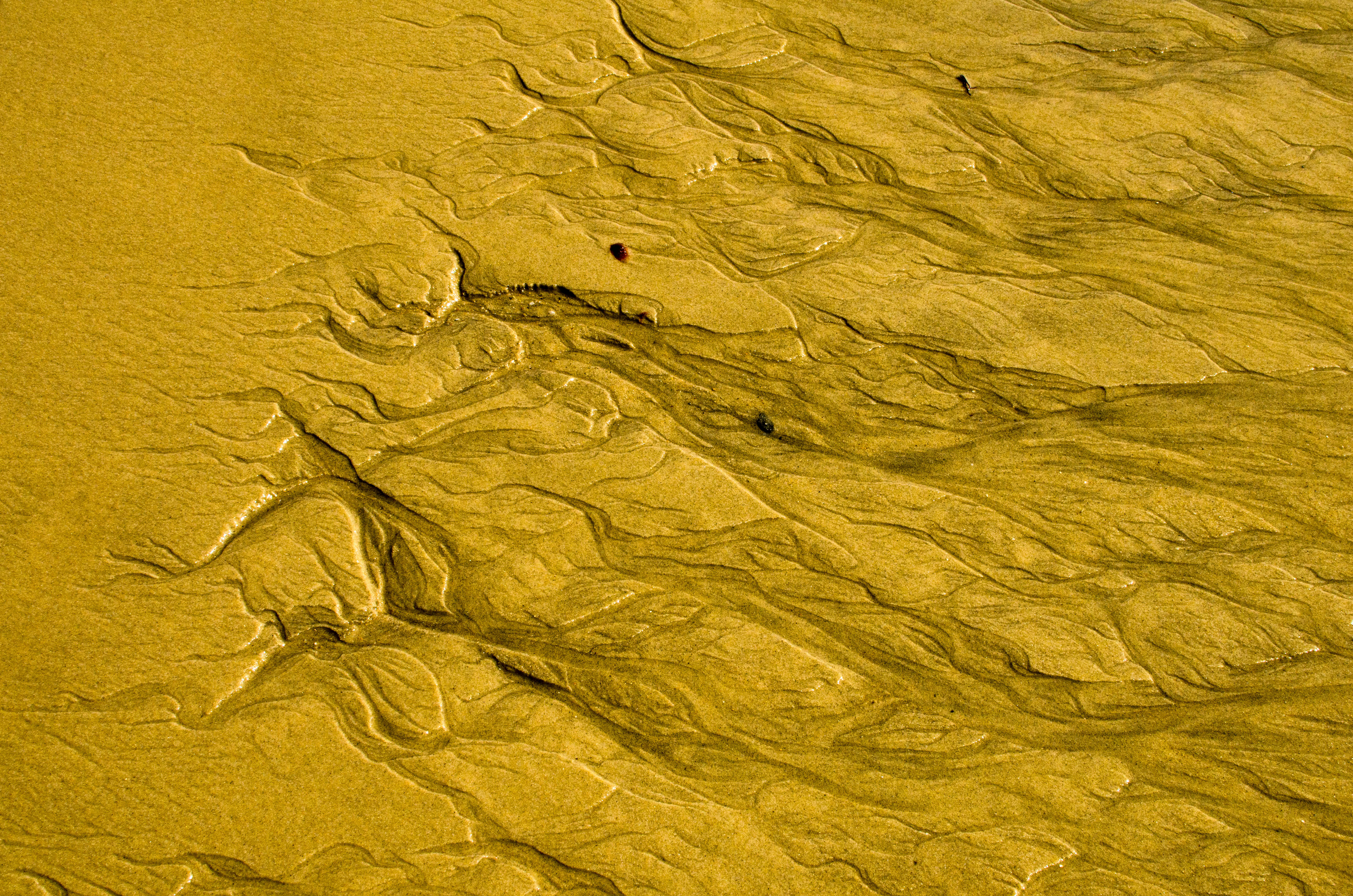
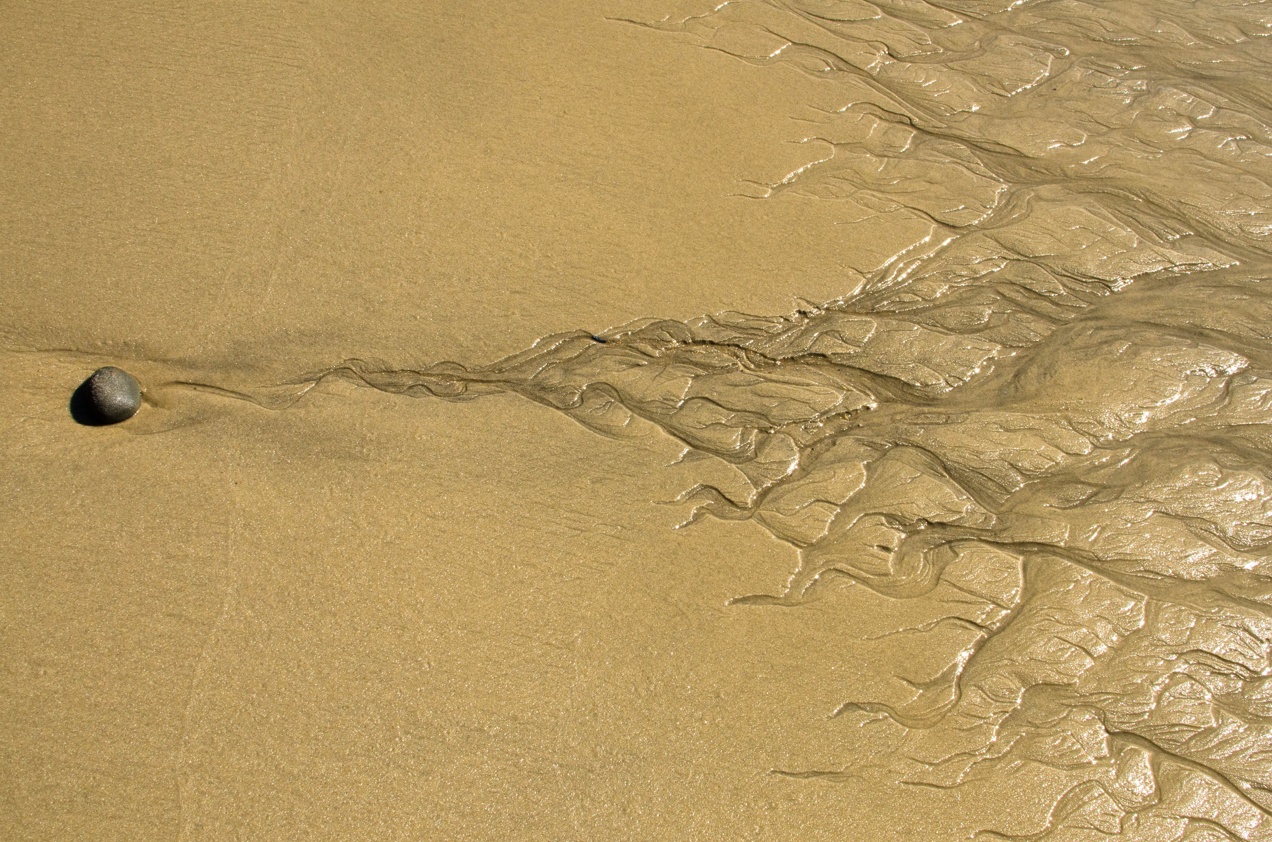
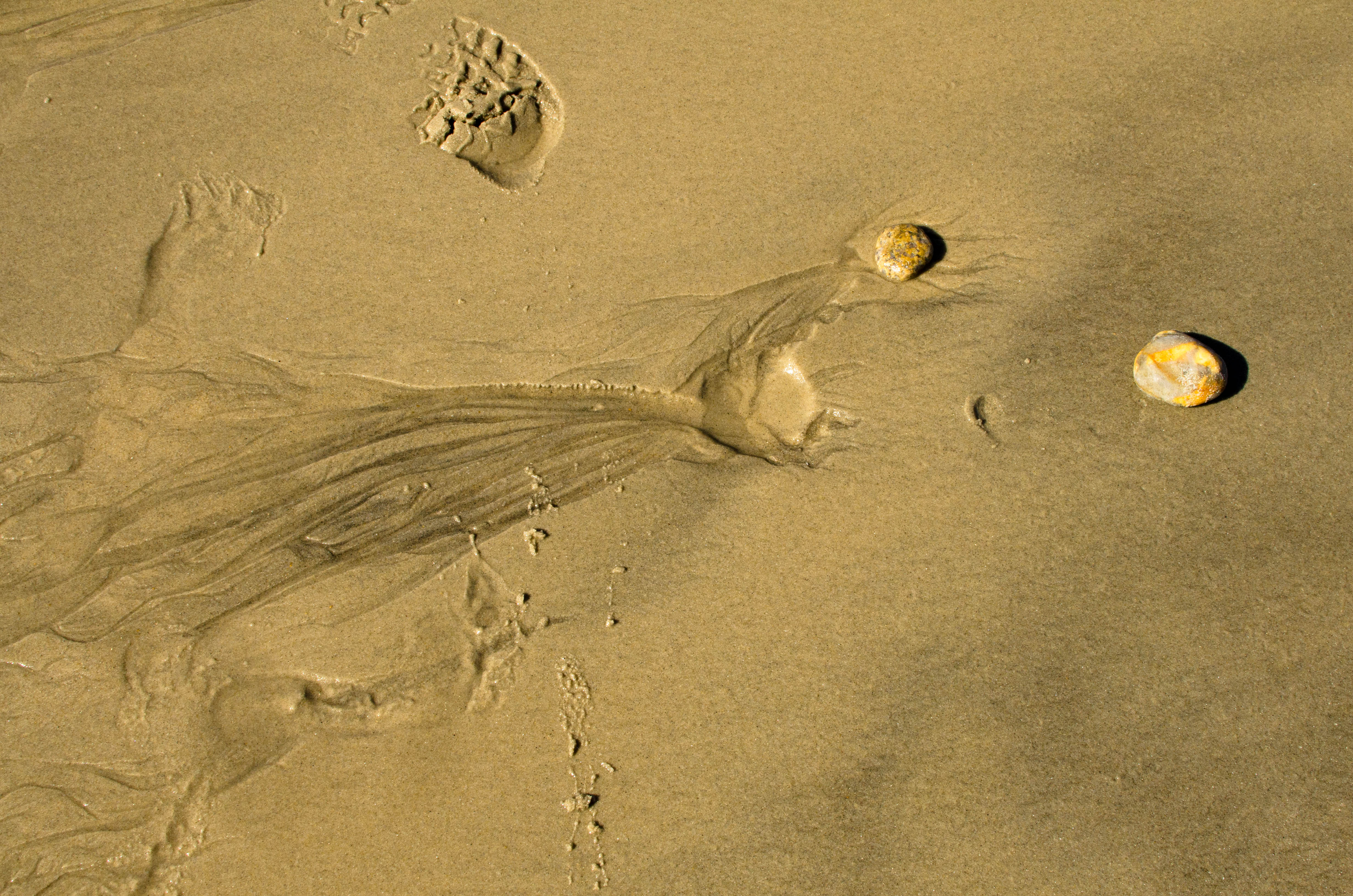
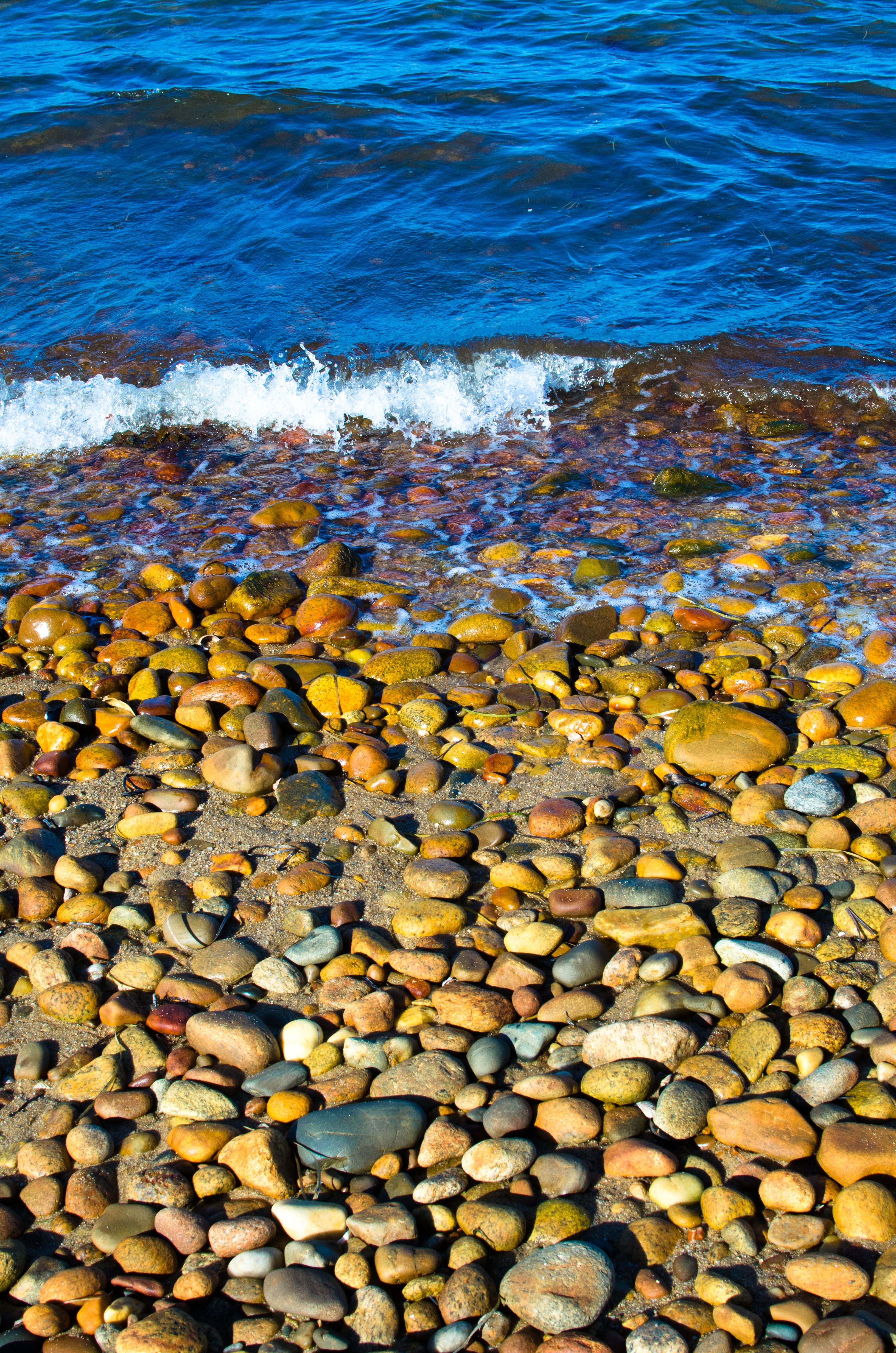
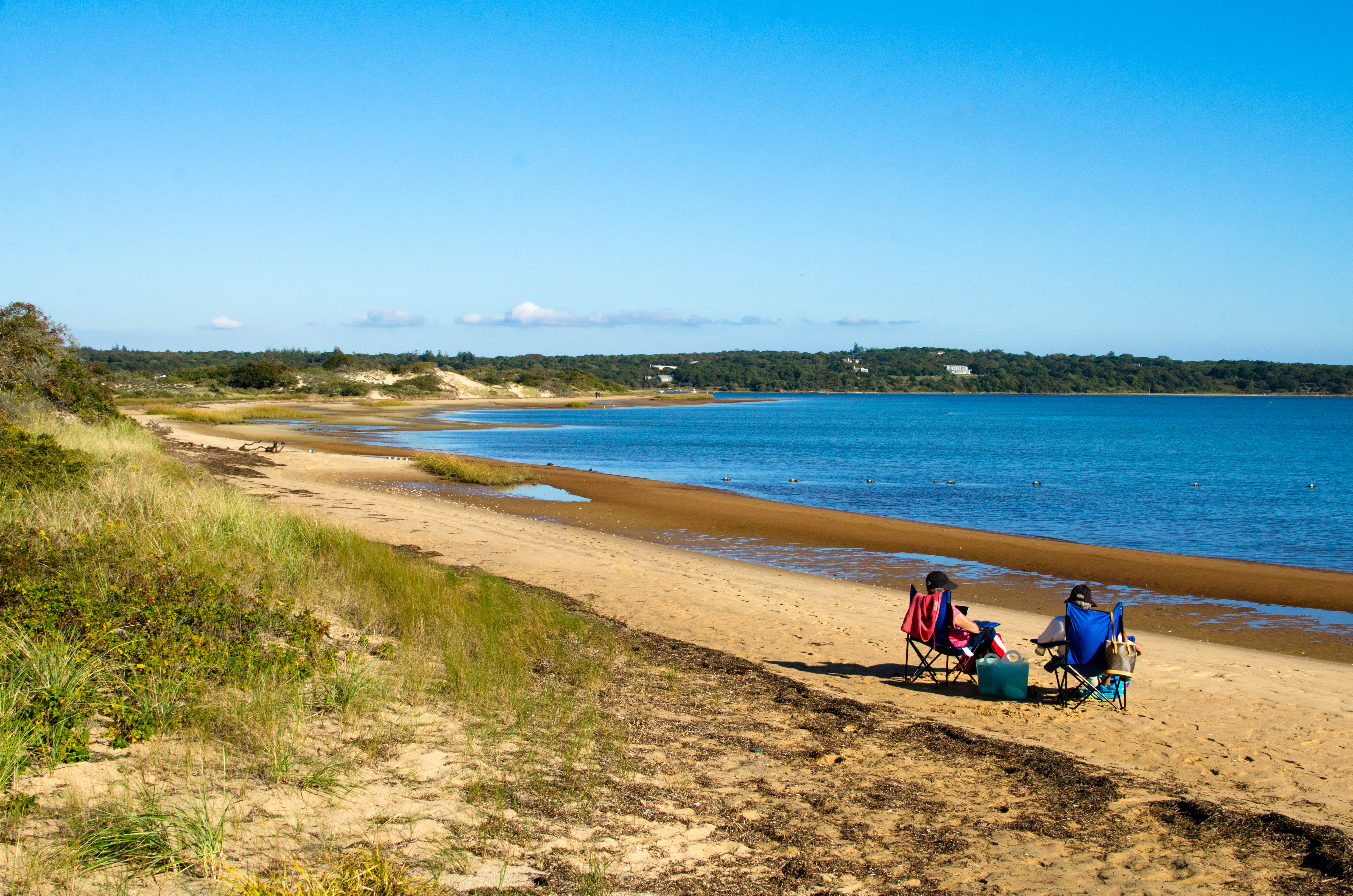
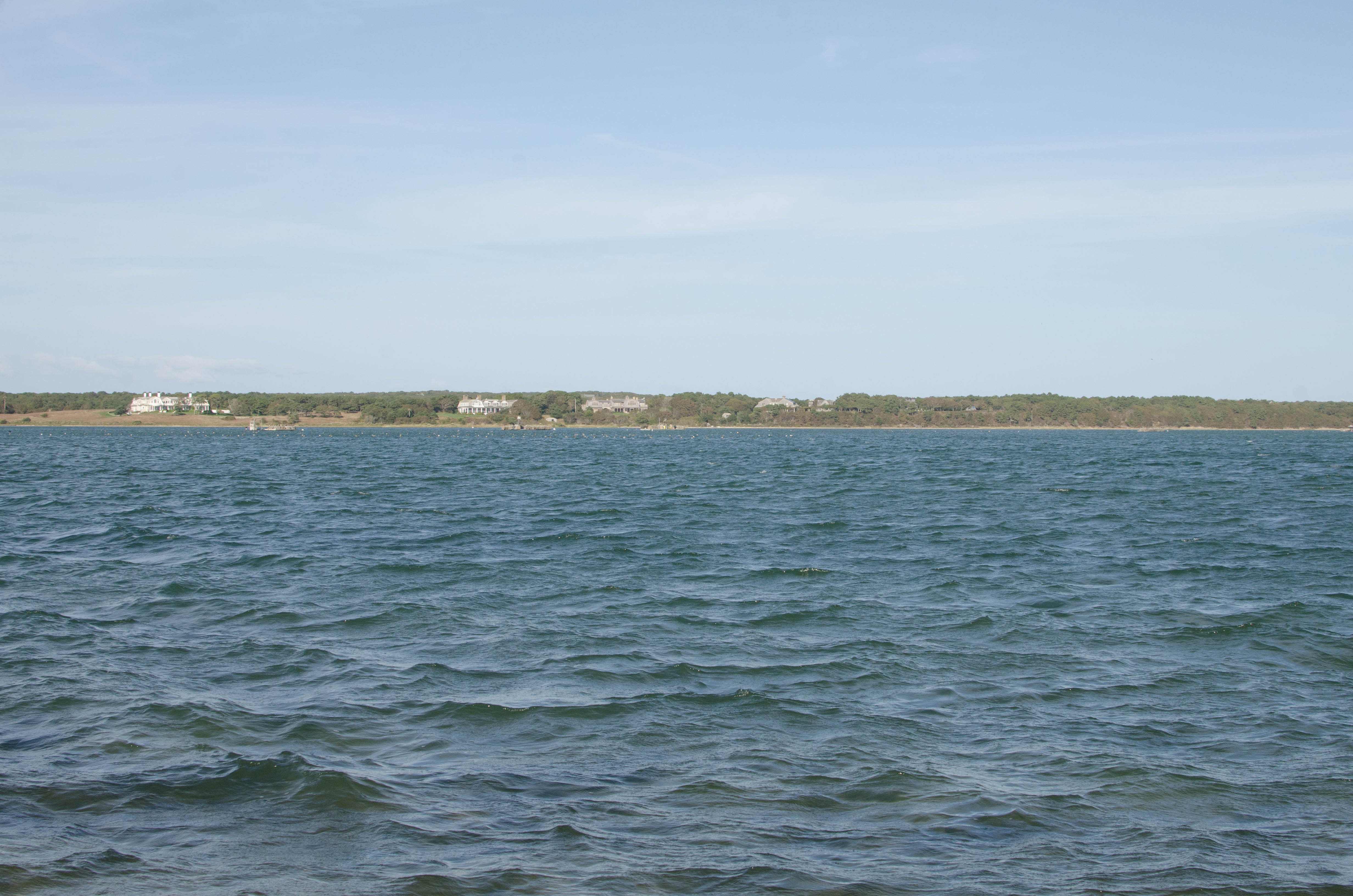
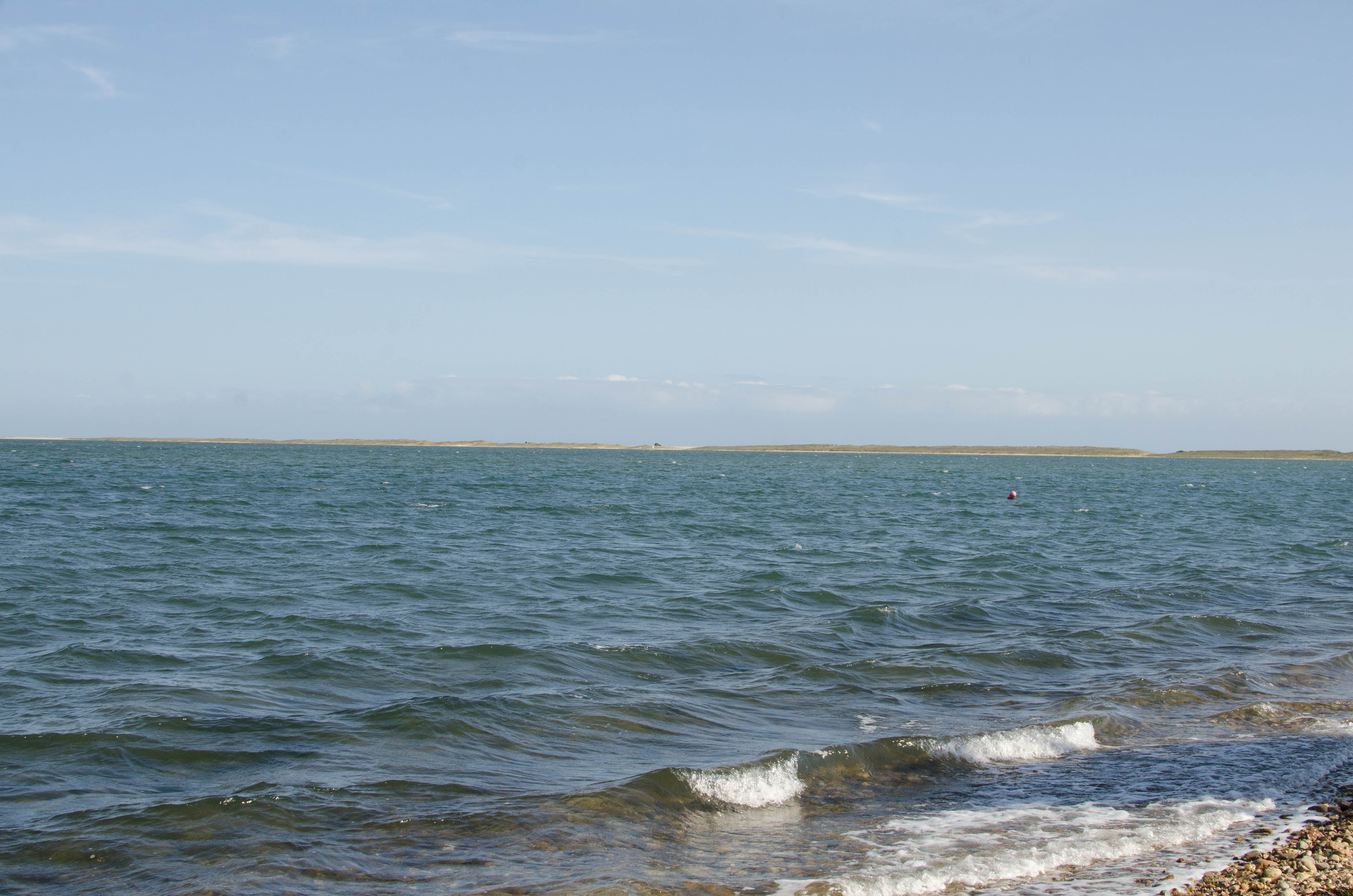
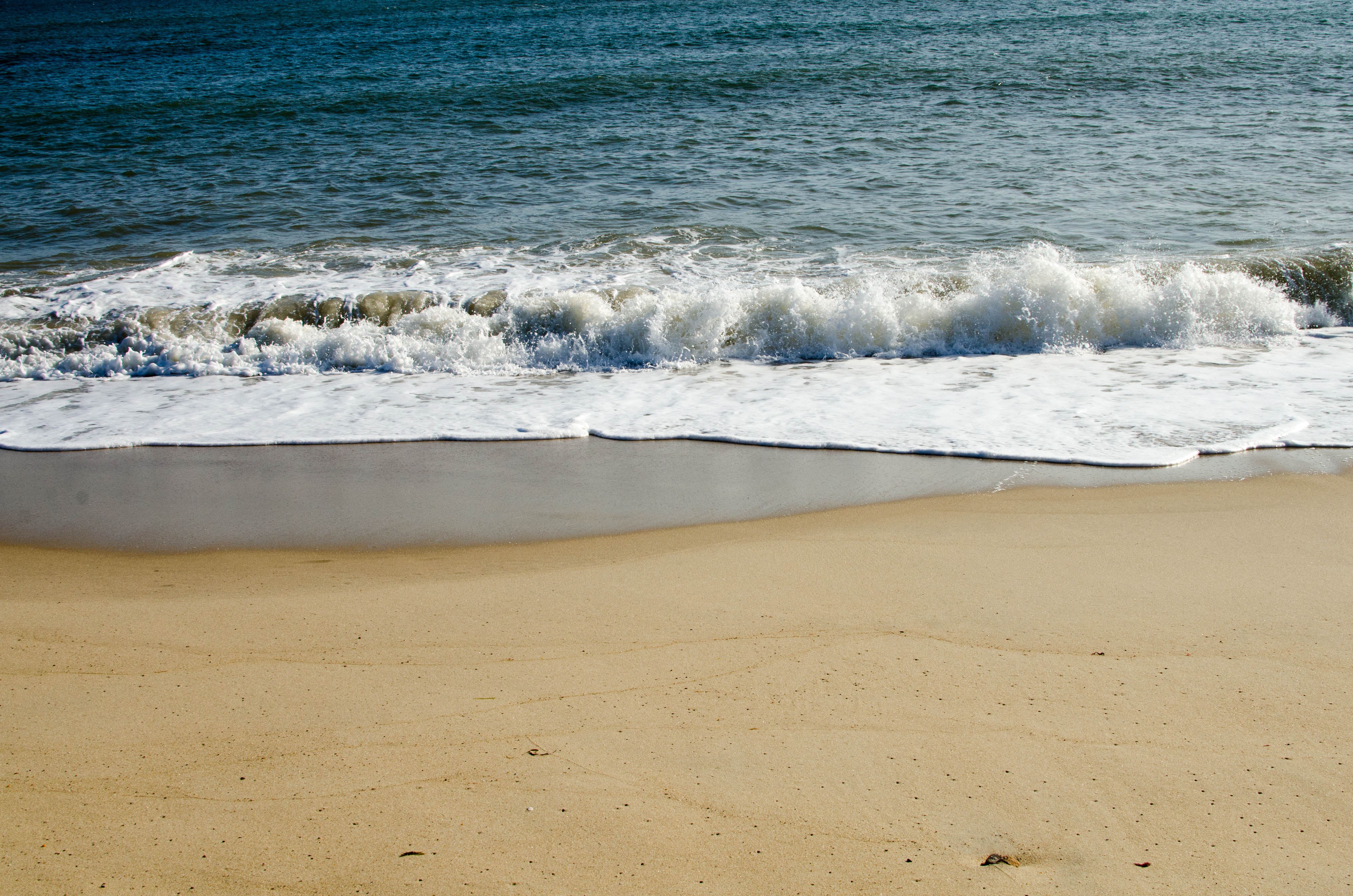
There are a lot of beaches on Marthas Vineyard—after all, it is an
island. Since it was well into October, it's not exactly swimming weather
(at least for me). But we visited a number of beaches, from the colorful
clay cliffs of Moshup's Beach in Aquinniah, to the views of Menemsha from
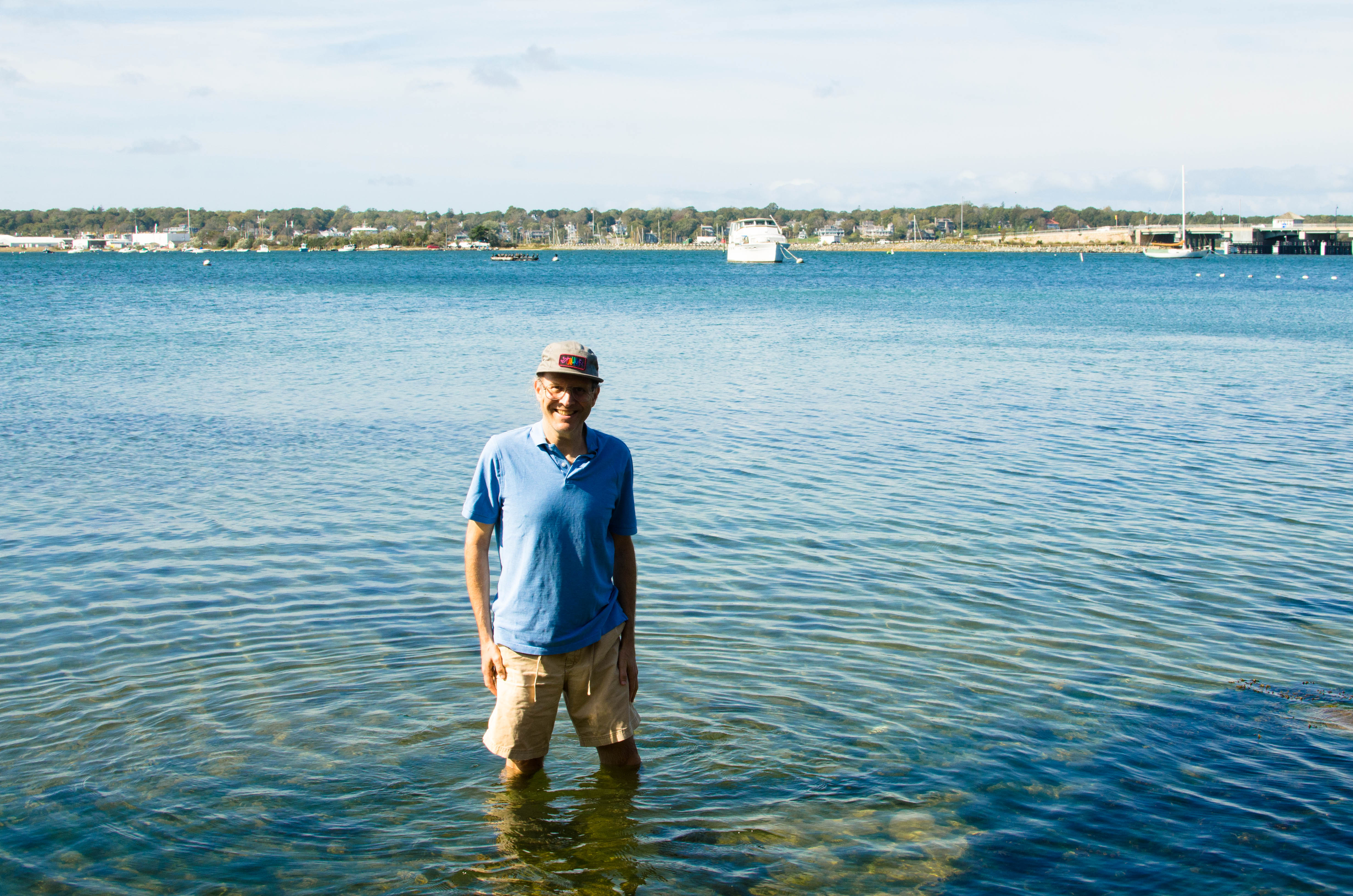
Lobsterville Beach, to the view of the island from "our backyard"
at the Lagoon Pond, where I did wade into the water. Below are some photo
highlights of some of the beaches of Martha's Vineyard.
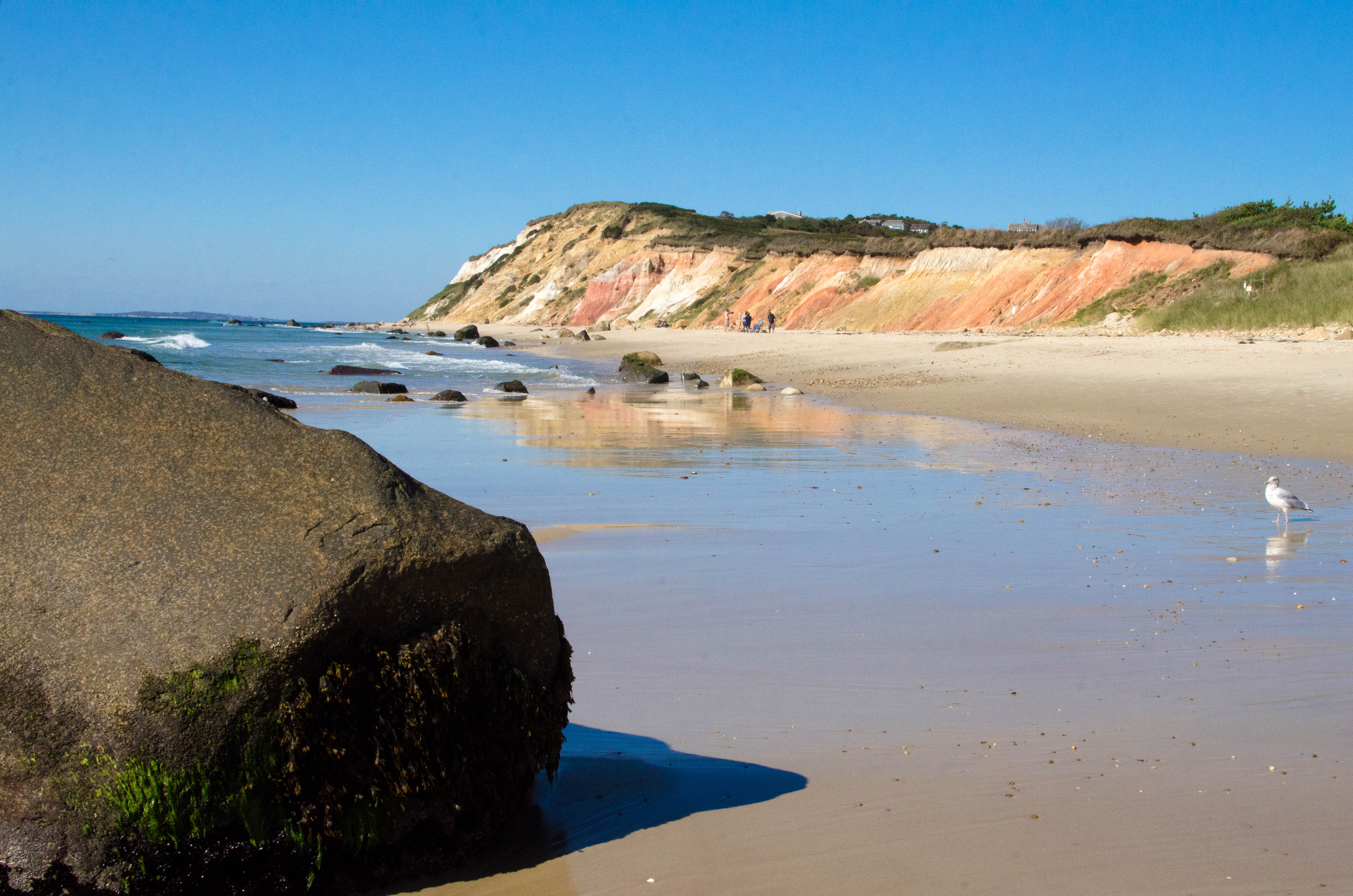
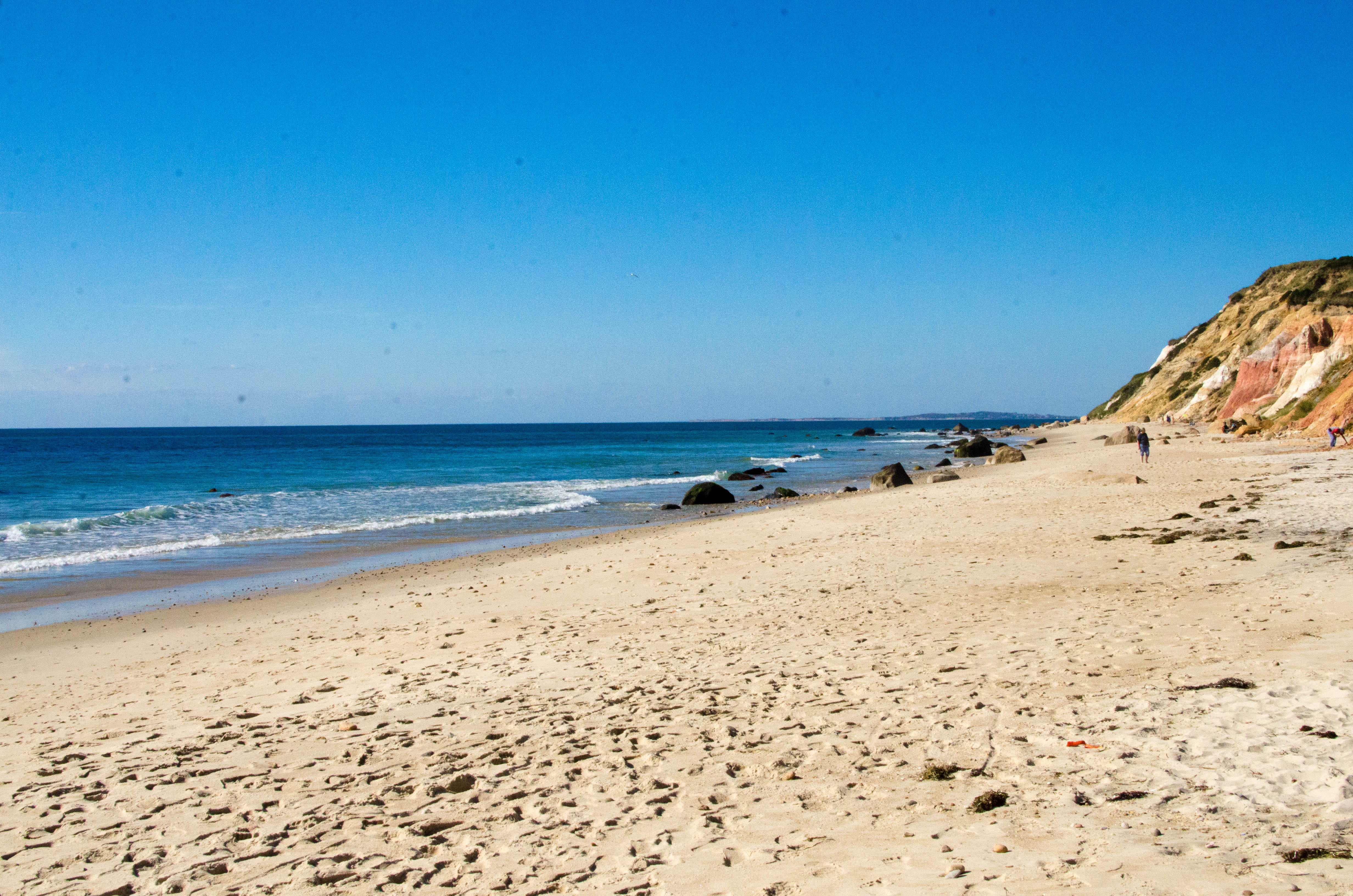
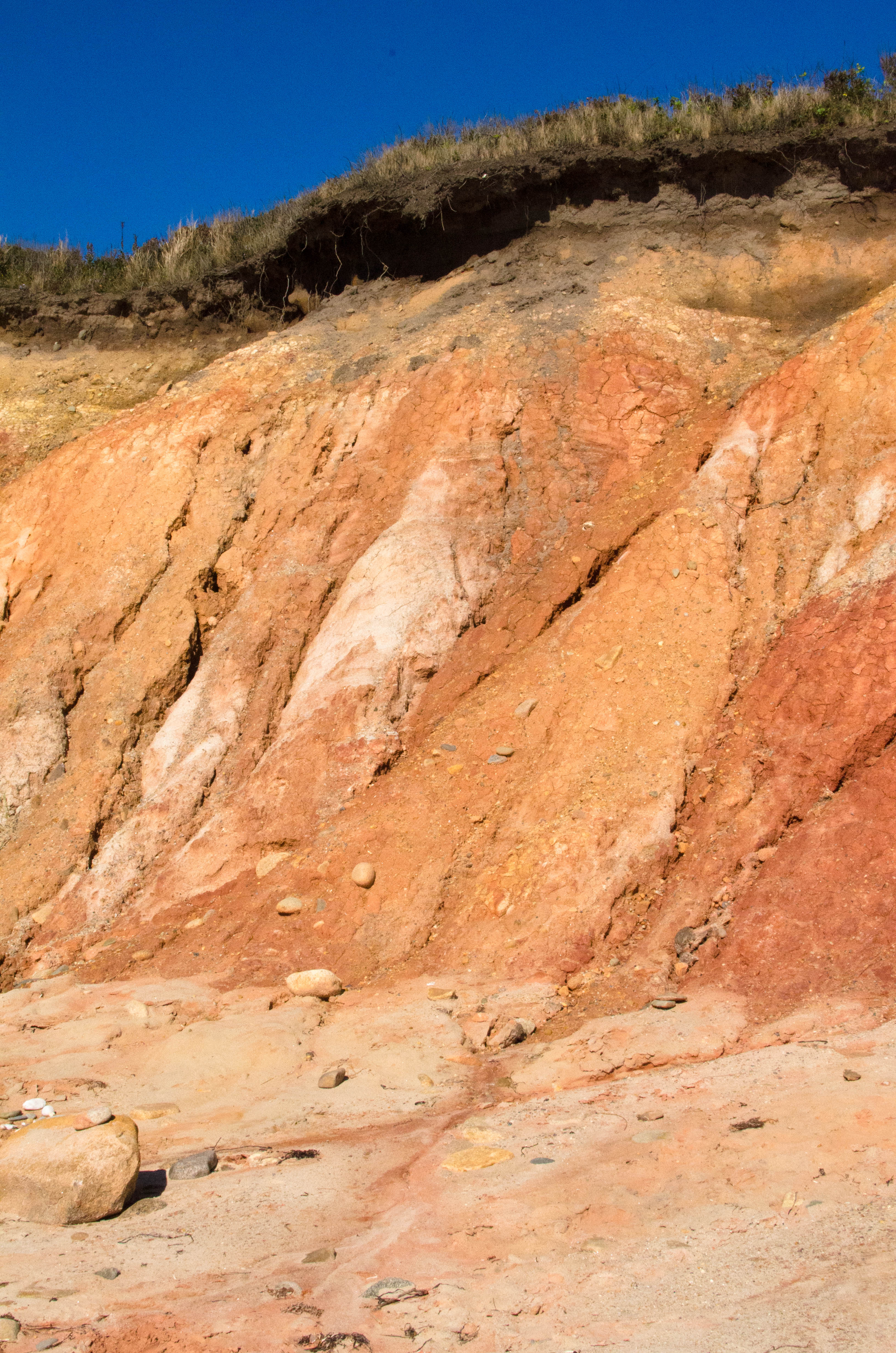
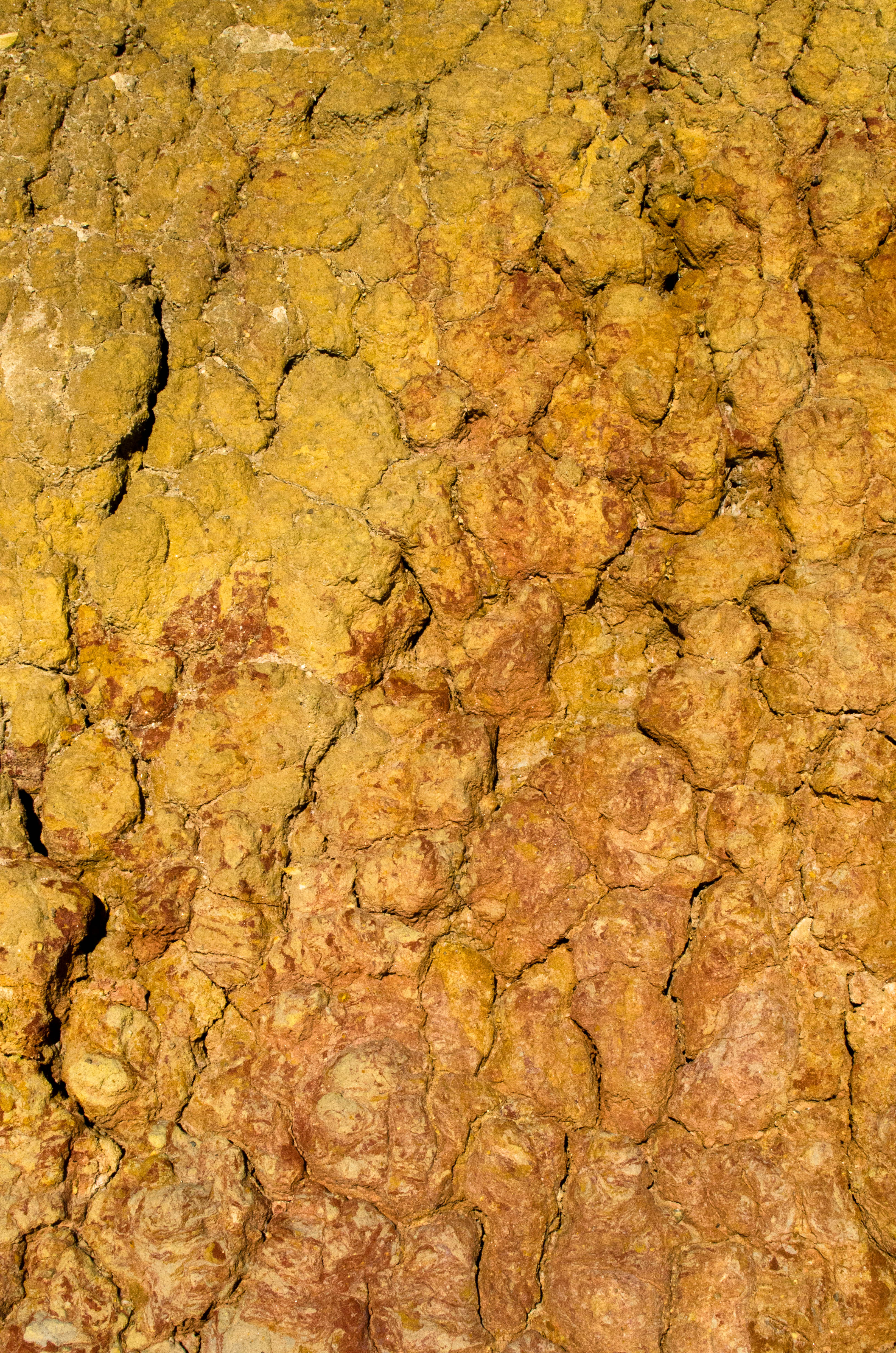
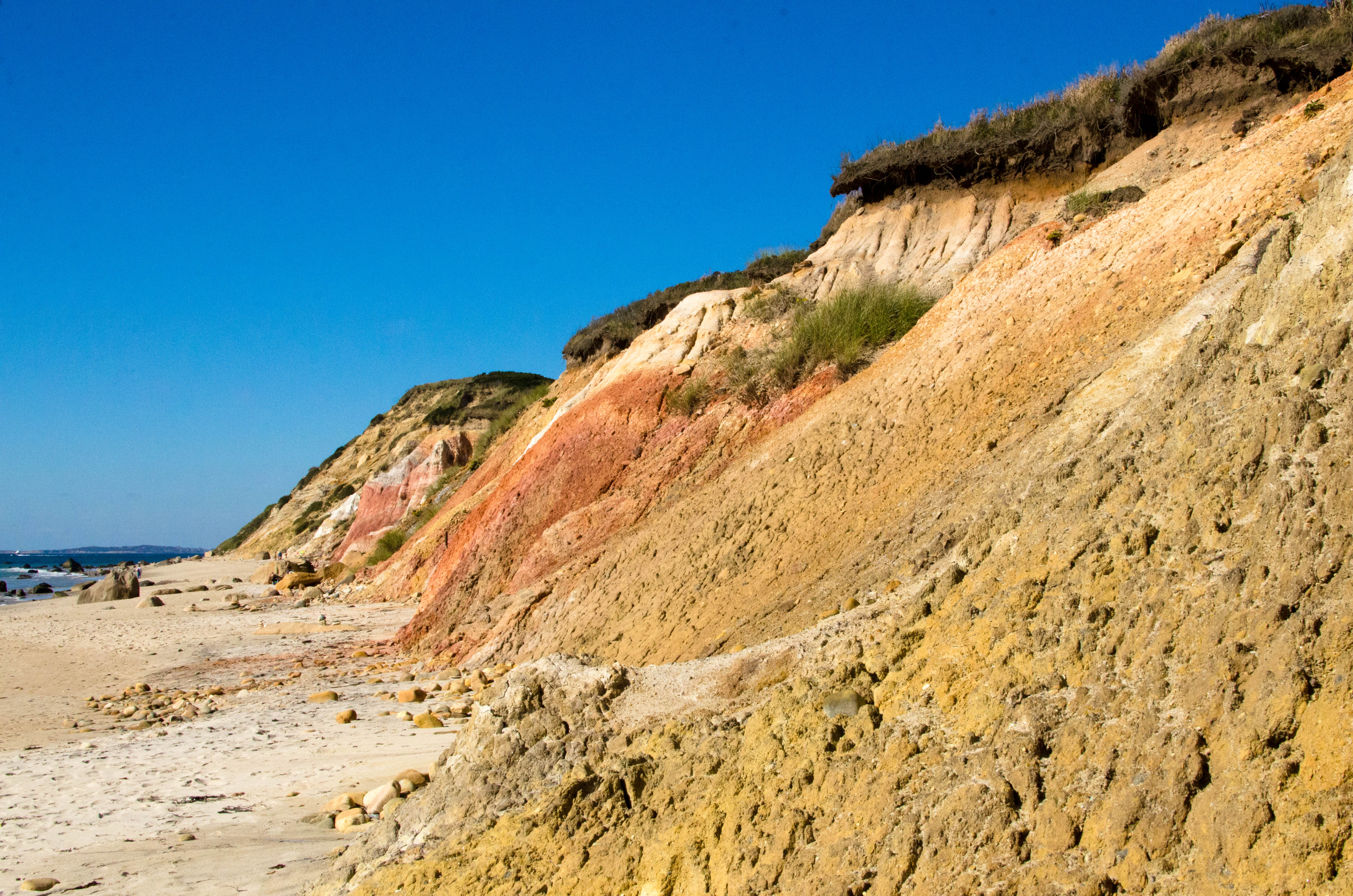
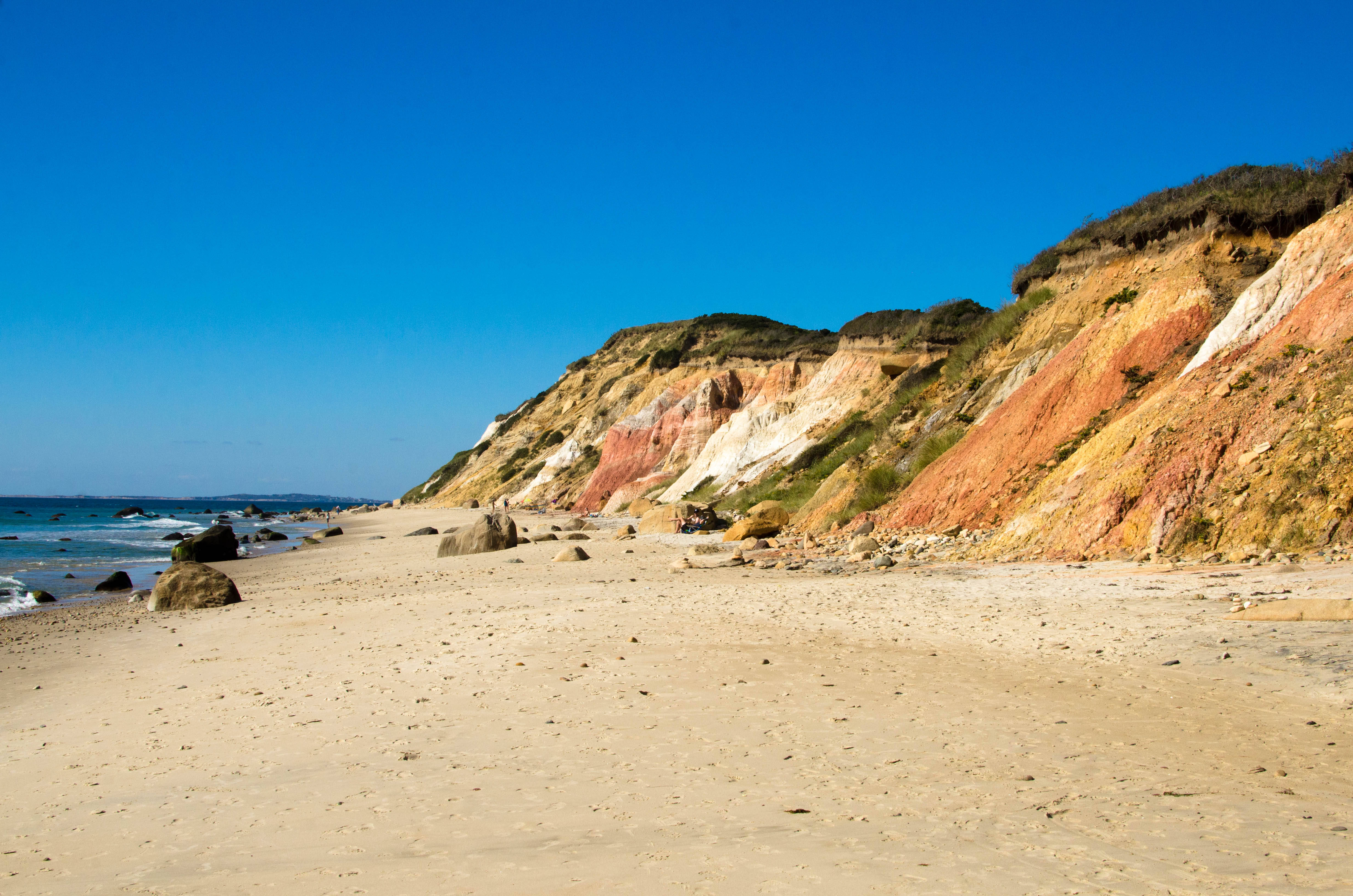
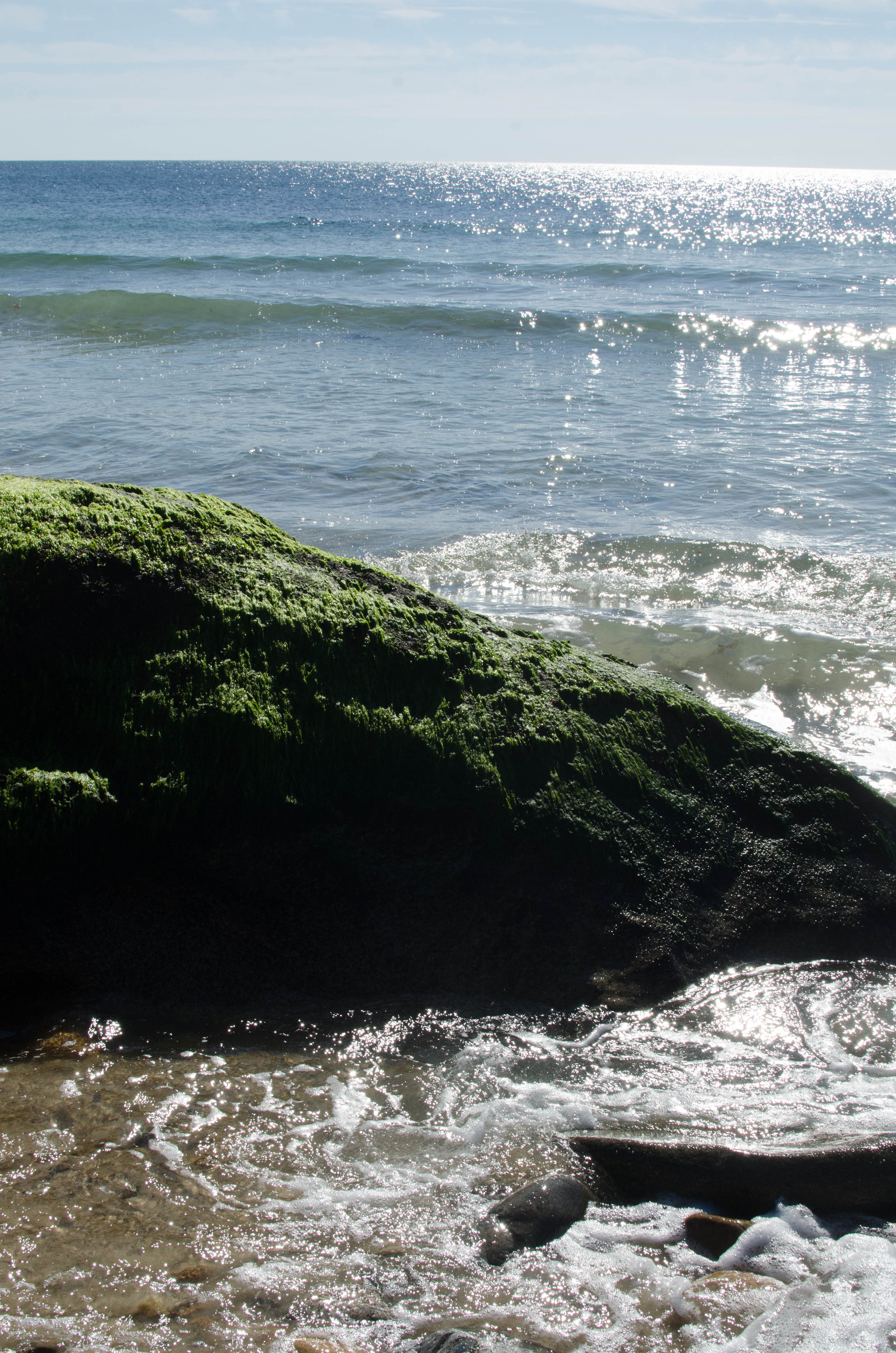
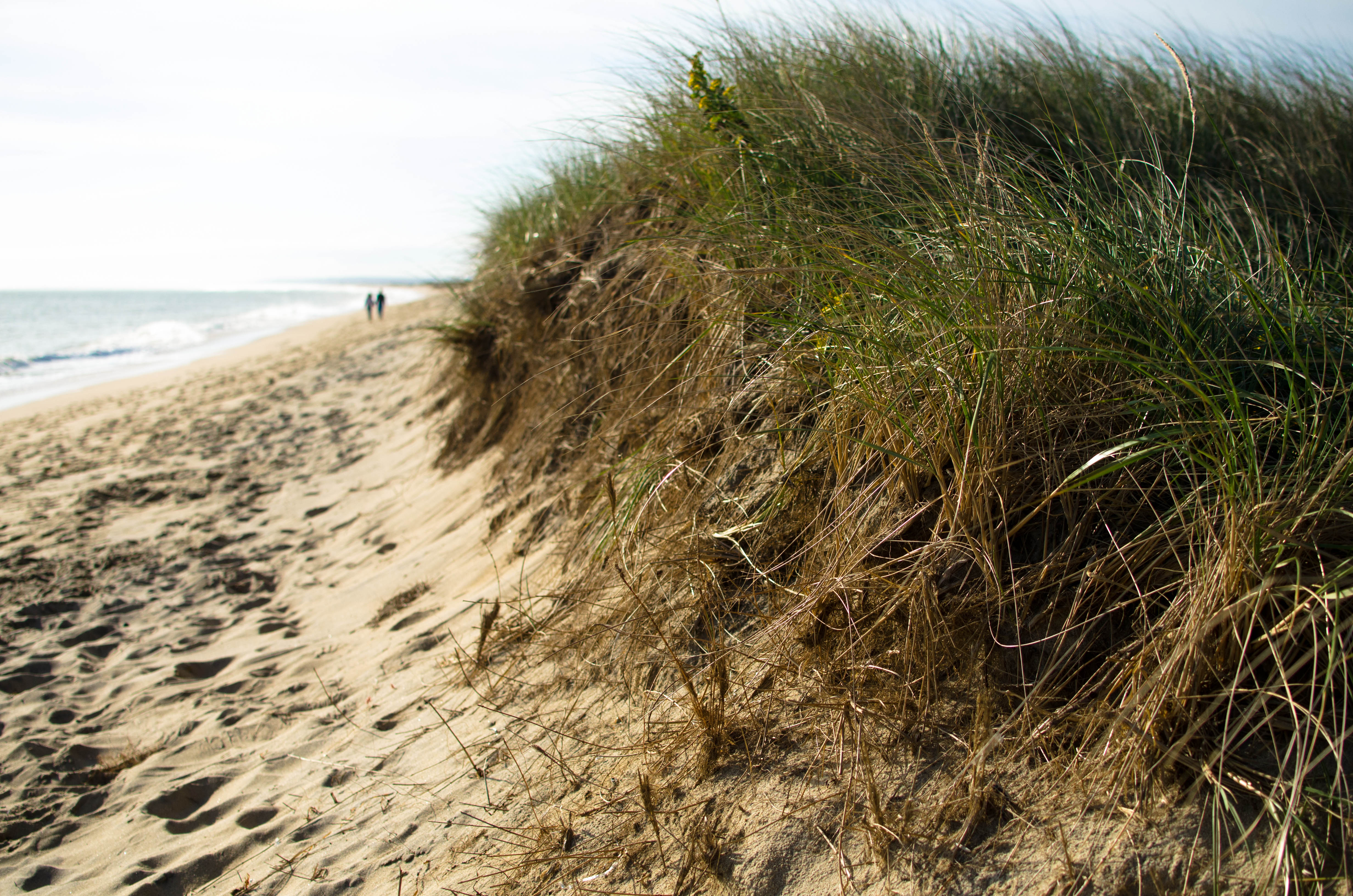
Formerly called the Gay Head Cliffs, the Aquinnah Cliffs are one of the iconic landmarks of Martha's Vineyard. Just to the south of the cliffs visible from the overlook is the Aquinnah or Moshup Beach. The clay cliffs (not super tall) end in the beach sand. It's illegal to climb or walk on or damage the cliffs. They are already contantly being eroded away.
001-beach_cliff_Pano...

A patchwork image of the bottom of the cliffs meeting and flowing into the...(more)
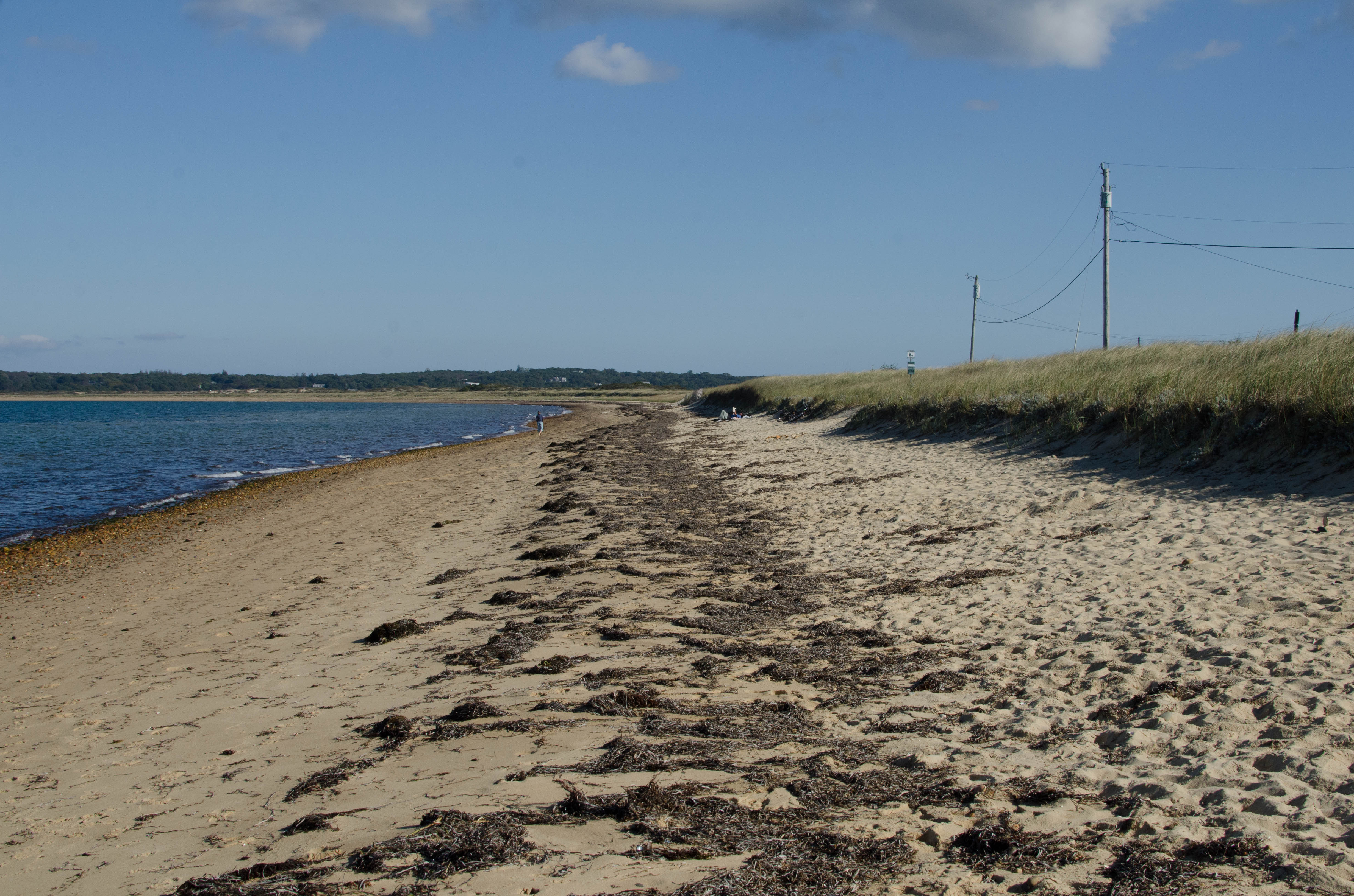
Lobsterville Beach is on the western part of the north side of the island. It's on the western side of Menemsha Bight. It ends at the inlet to Menemsha Creek which becomes Menemsha Pond. On the far side of the creek (east) is Menemsha.
029-DSC_4897.jpg

Looking east across Lobserville Beach. Behind the bend in the shoreline is the...(more)
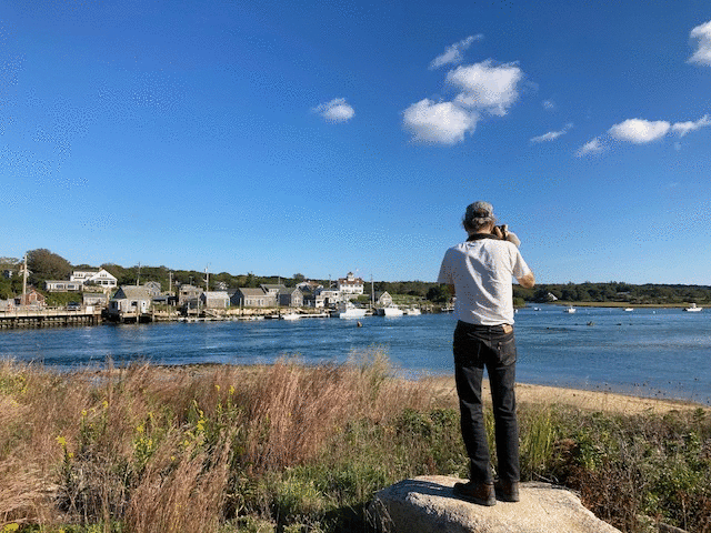
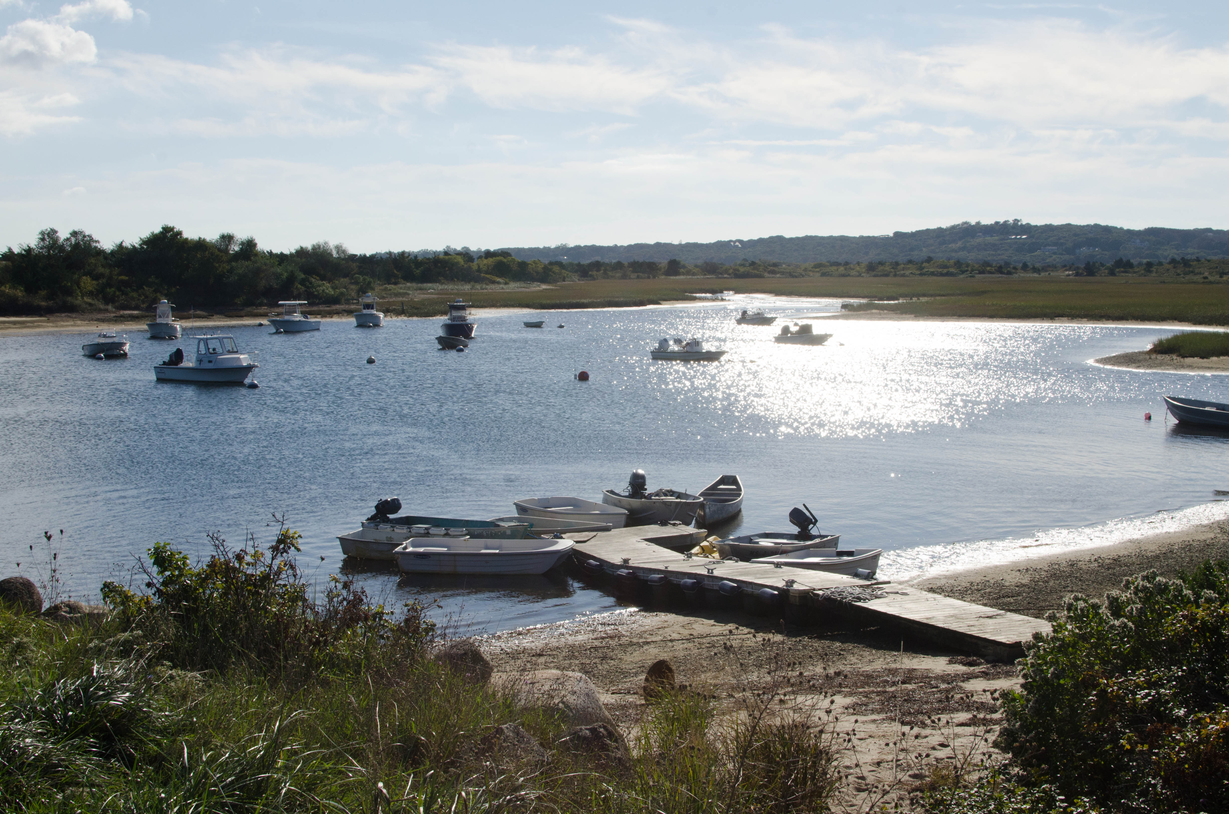
After stopping at Lobsterville Beach, we drove to the east end of
West Basin Road which faces Menemsha across Menemsha Creek. It's
mostly a fishing area and place to launch boats. I've been to Menemsha
many times, but this was the first time I saw it from the other side,
facing the pier and buildings on the Creek.
I took a series of pictures that I put together into a panoramic photo.
To keep the caption on that picture short, I'm putting more details
about it here.
The panoramic picture of Menemsha
was taken from the west side of the inlet of Menemsha Creek
(where Menemsha Bight feeds Menemsha Pond).
The big white house with the red roof and the flagpole on the right
is the US Coast Guard. Boathouse Road goes right along the creek.
And the big white building with the red roof in the center of the
picture is the US Coast Guard Boathouse.
It appeared in the movie Jaws.
This repleaces the previous one that burned down in 2010 and was
dedicated in 2015.
The previous one was built in 1938.
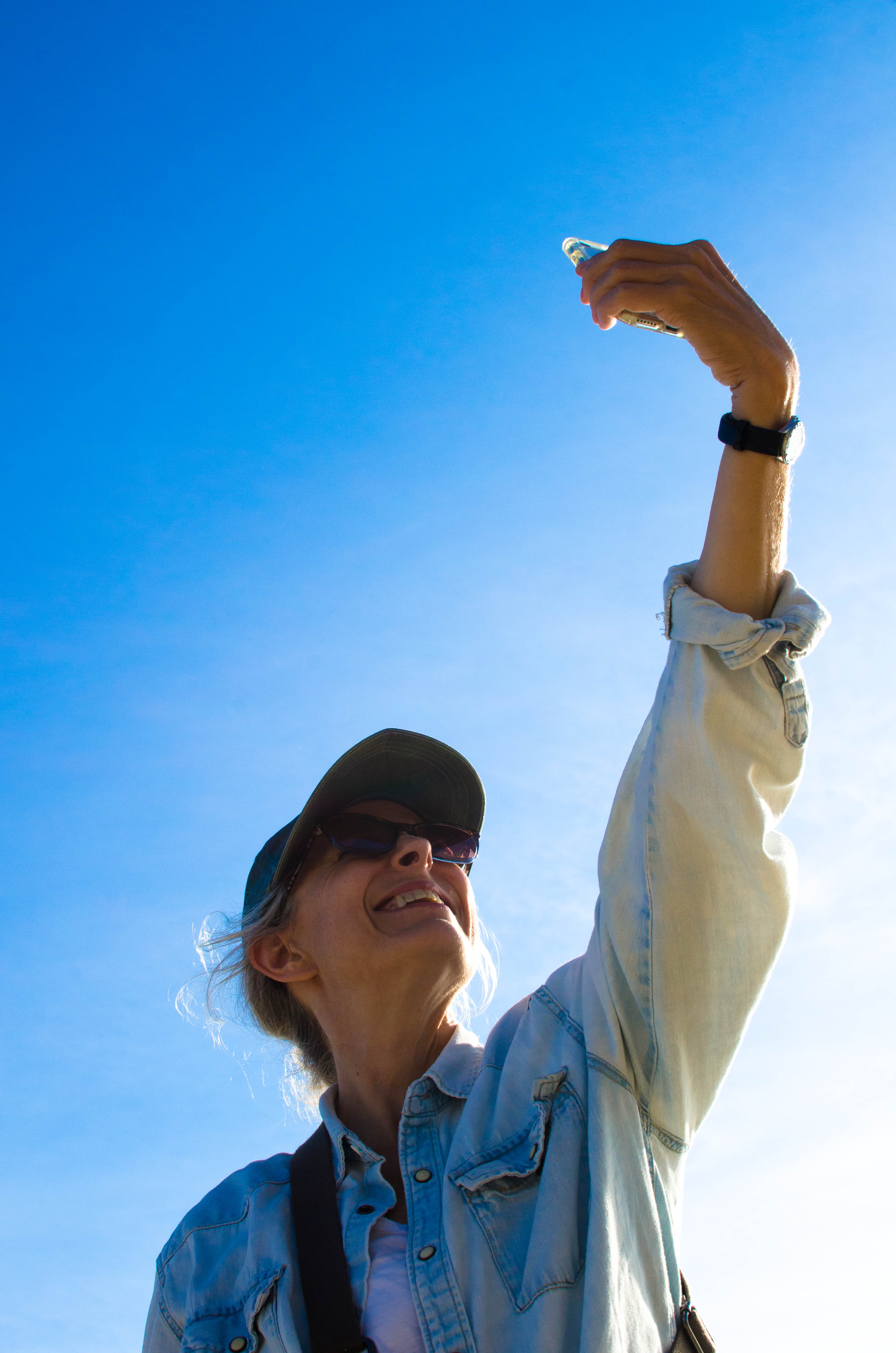
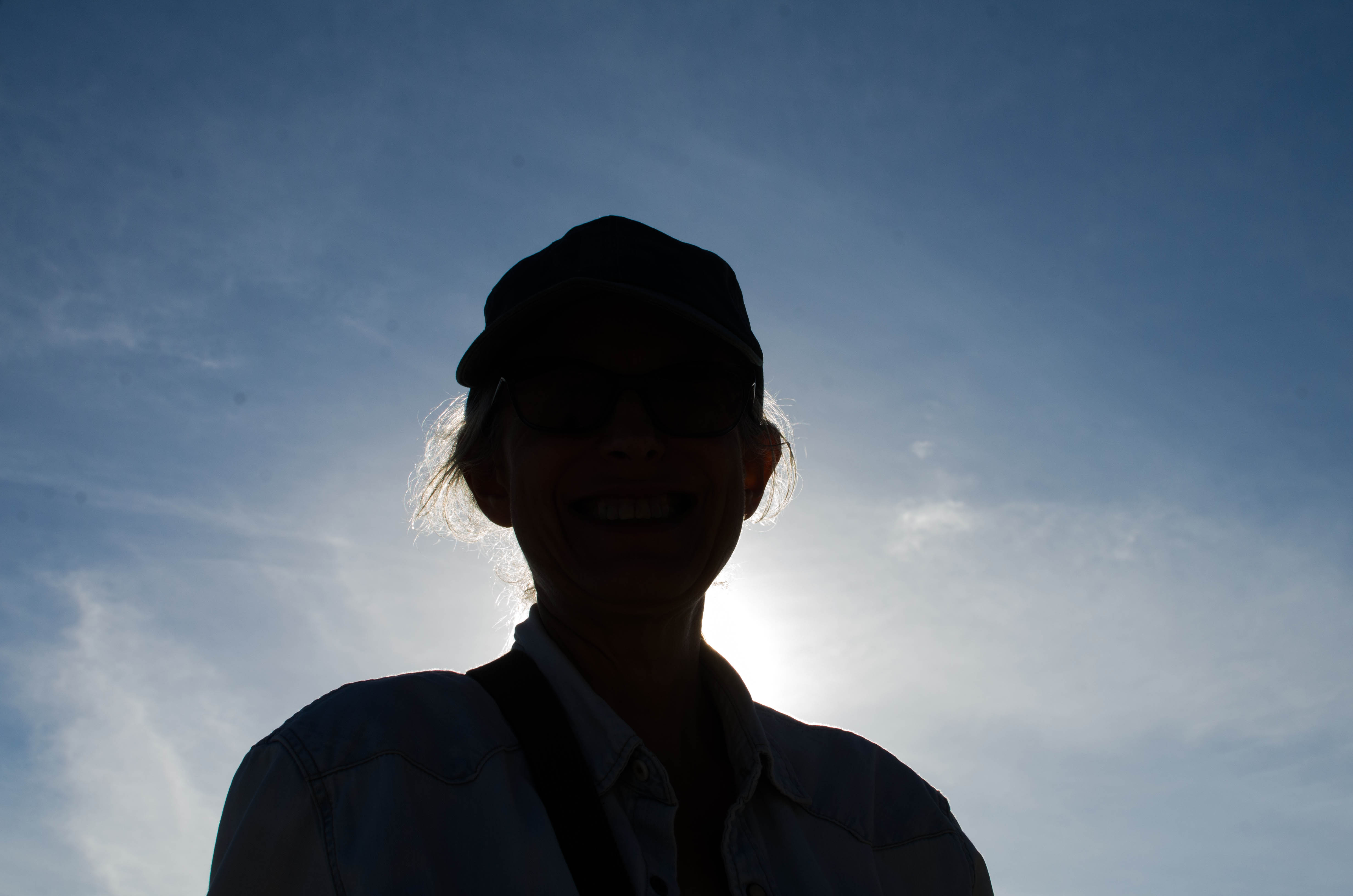
And just for fun, here's a 3-frame animated GIF on
the making of
the panorama from pictures Marlene took of me taking the pictures.
034-DSC_4912.jpg

Menemsha creek opening out into Menemsha Bight on the left with the end of...(more)
After leaving the Menemsha Creek spot, we took a left turn onto Lobsterville Road rather than a right. The road goes less than a quarter of a mile before ending at the northwest corner of Menemsha Pond. This is Red Beach, open only to residents during the summer. This was the first time I had ever been there.
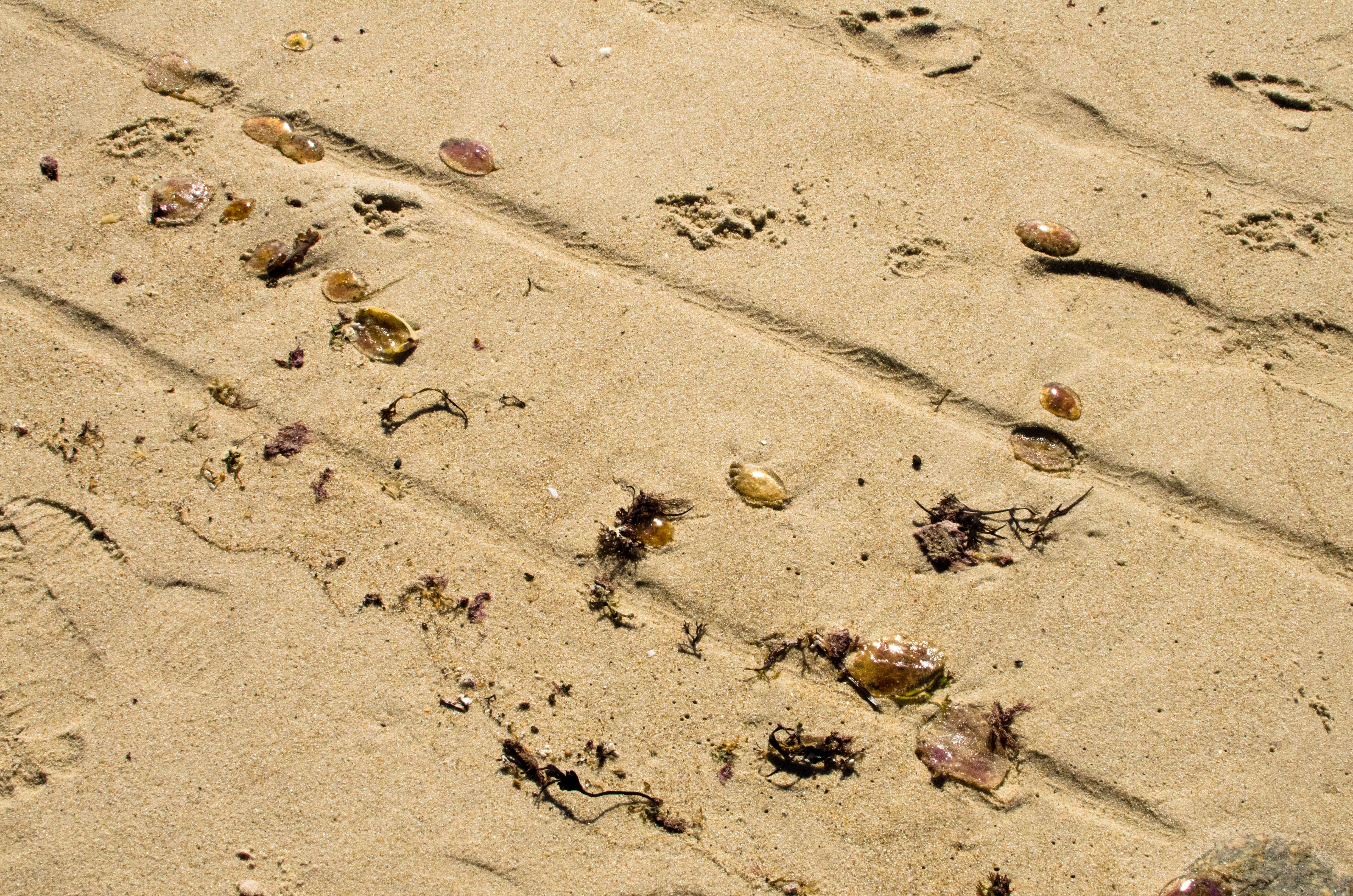
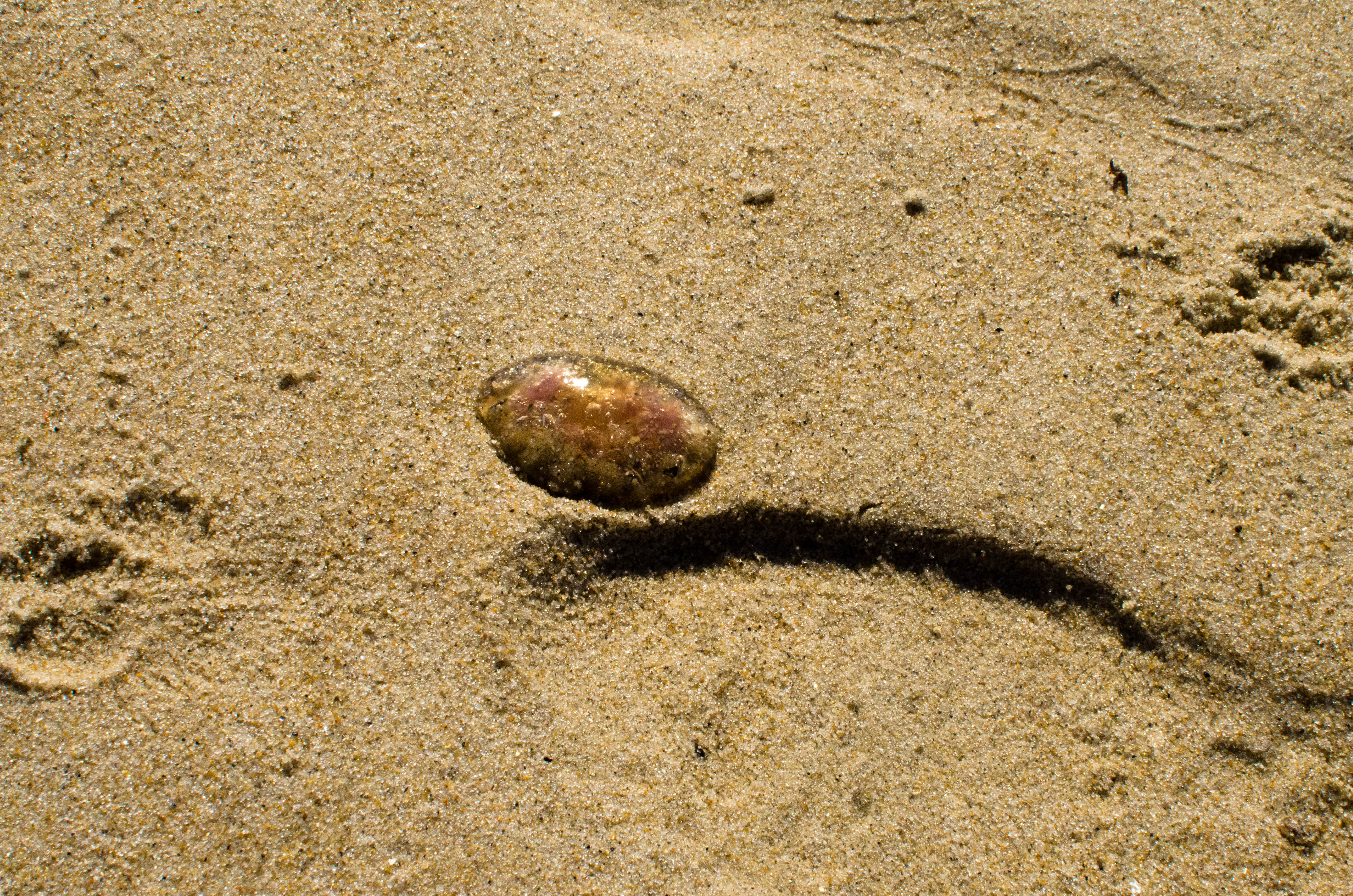
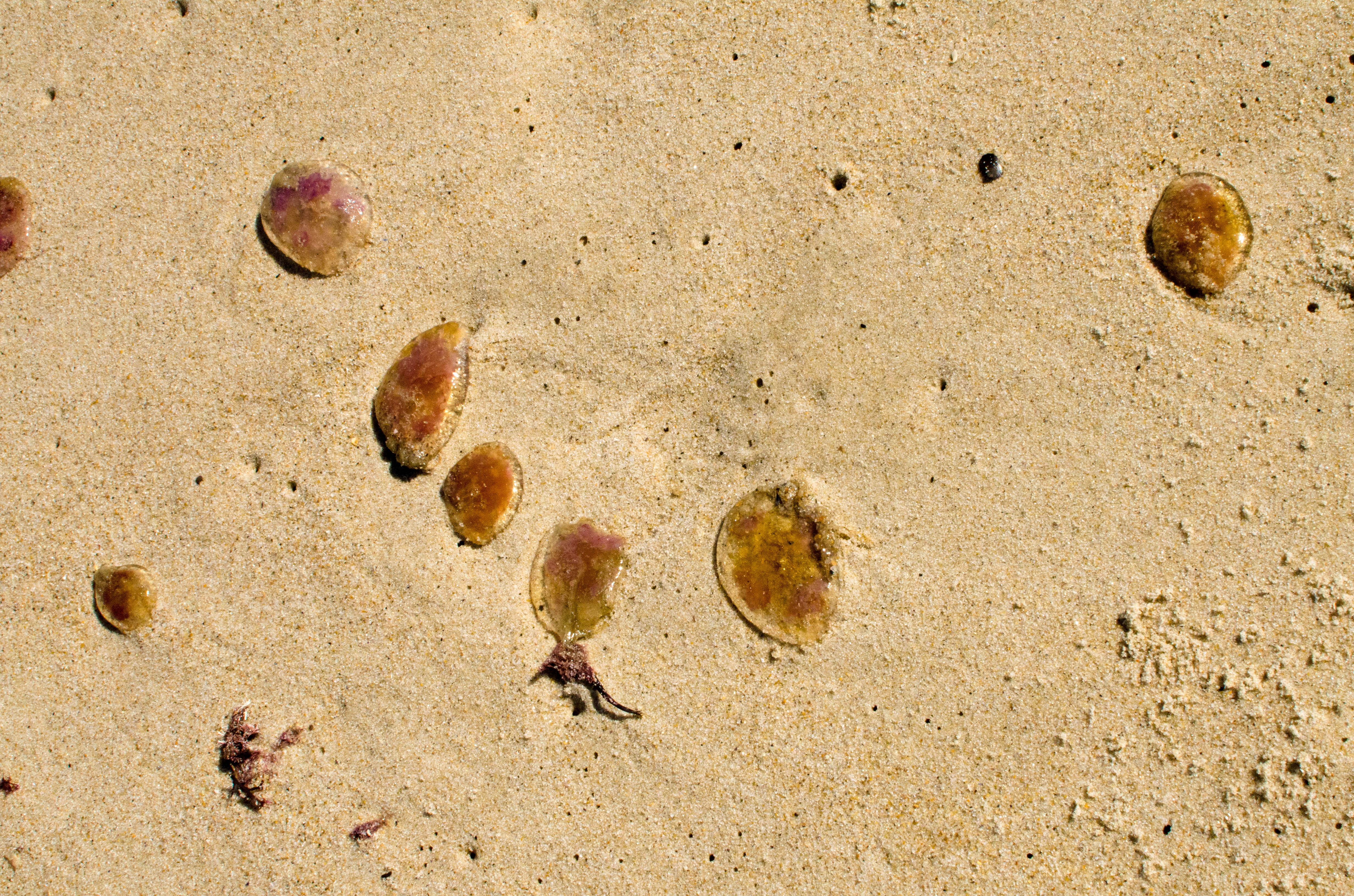
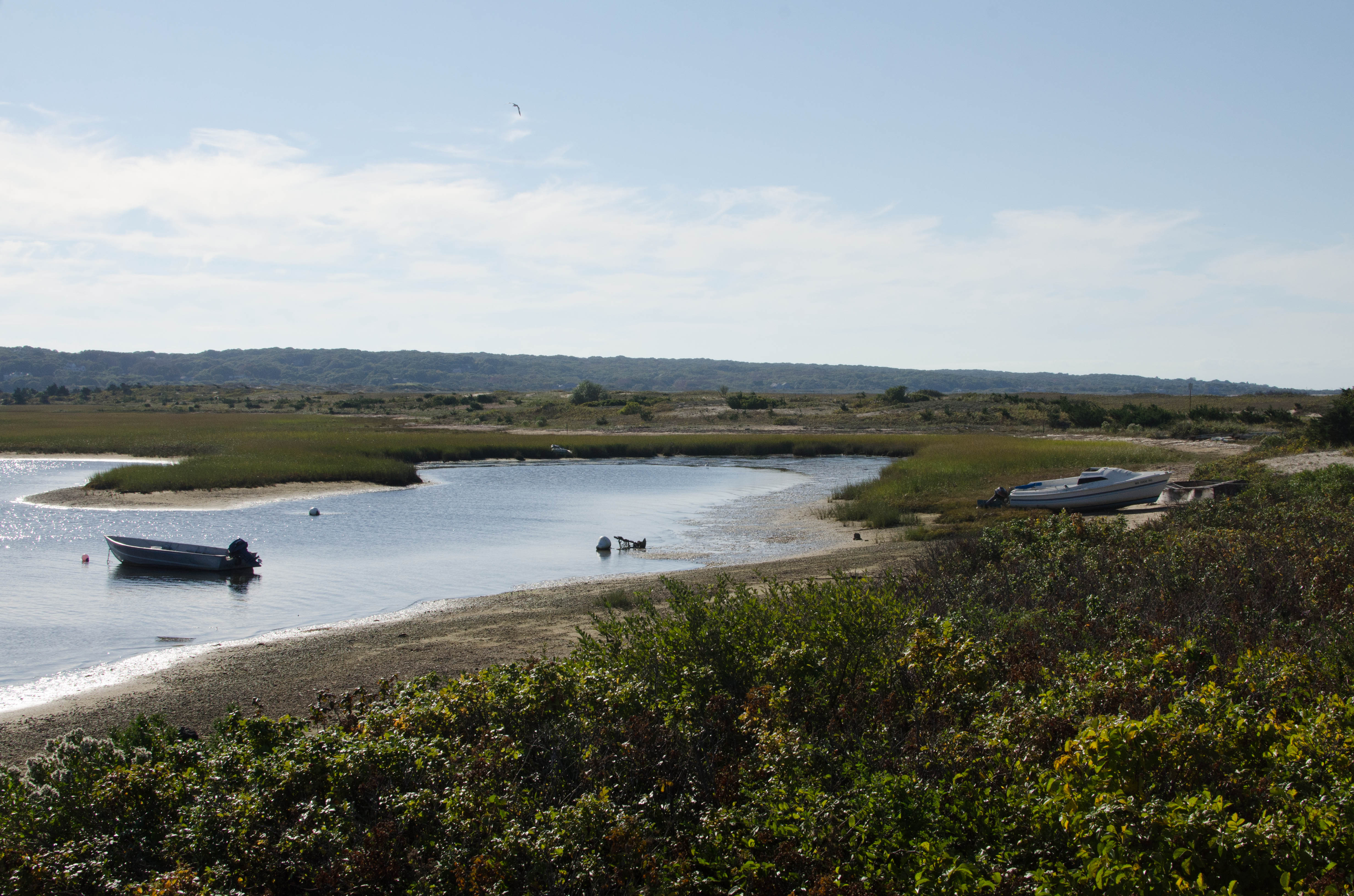
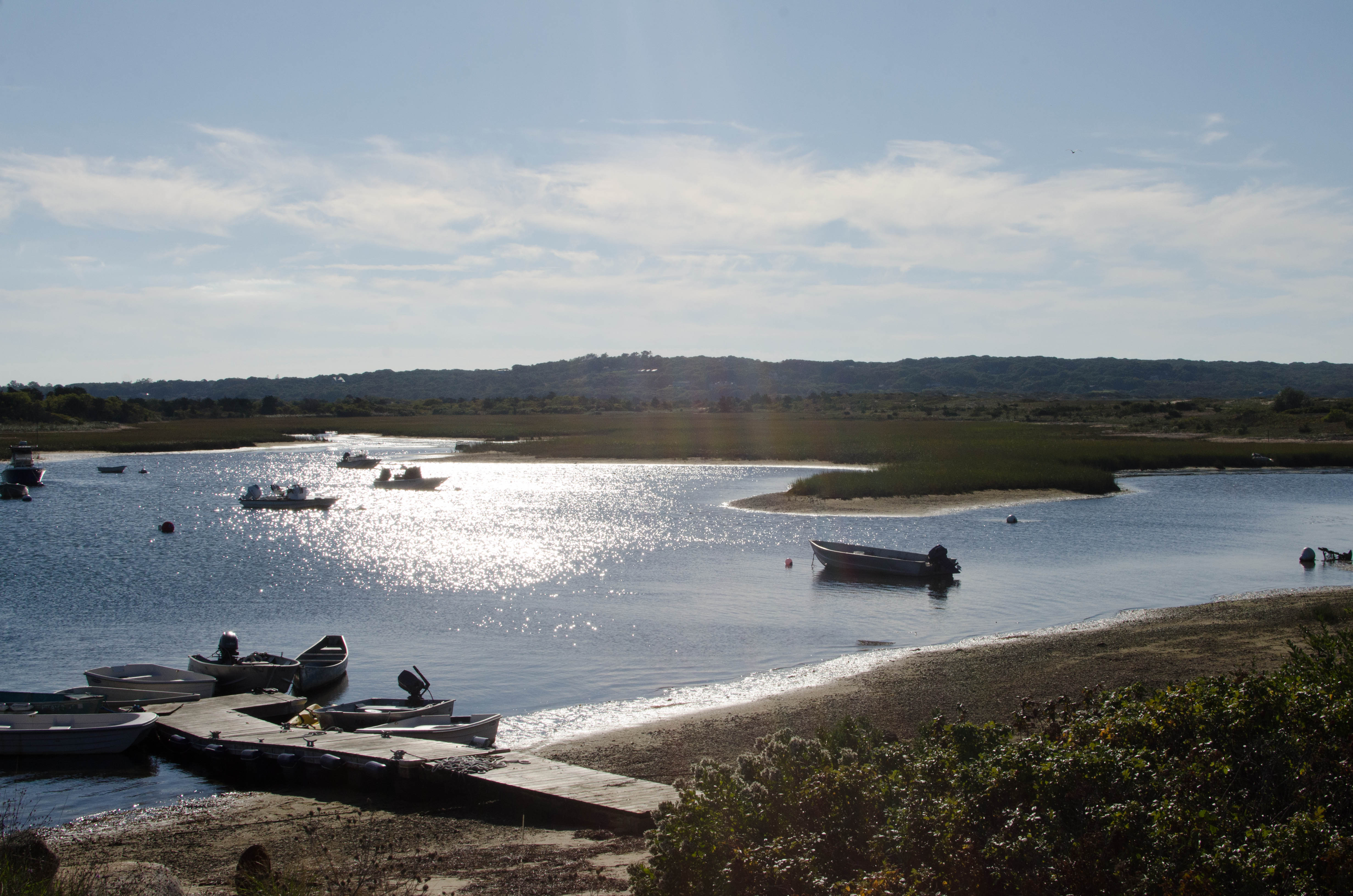
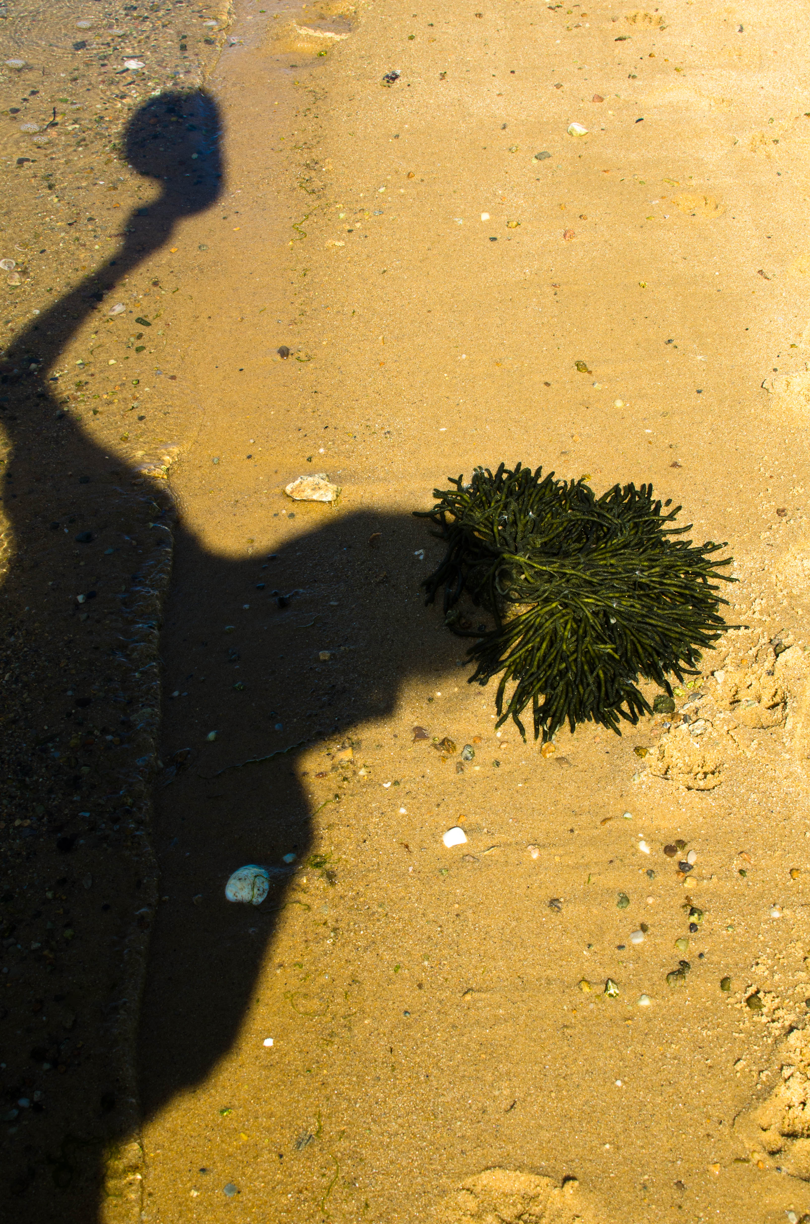
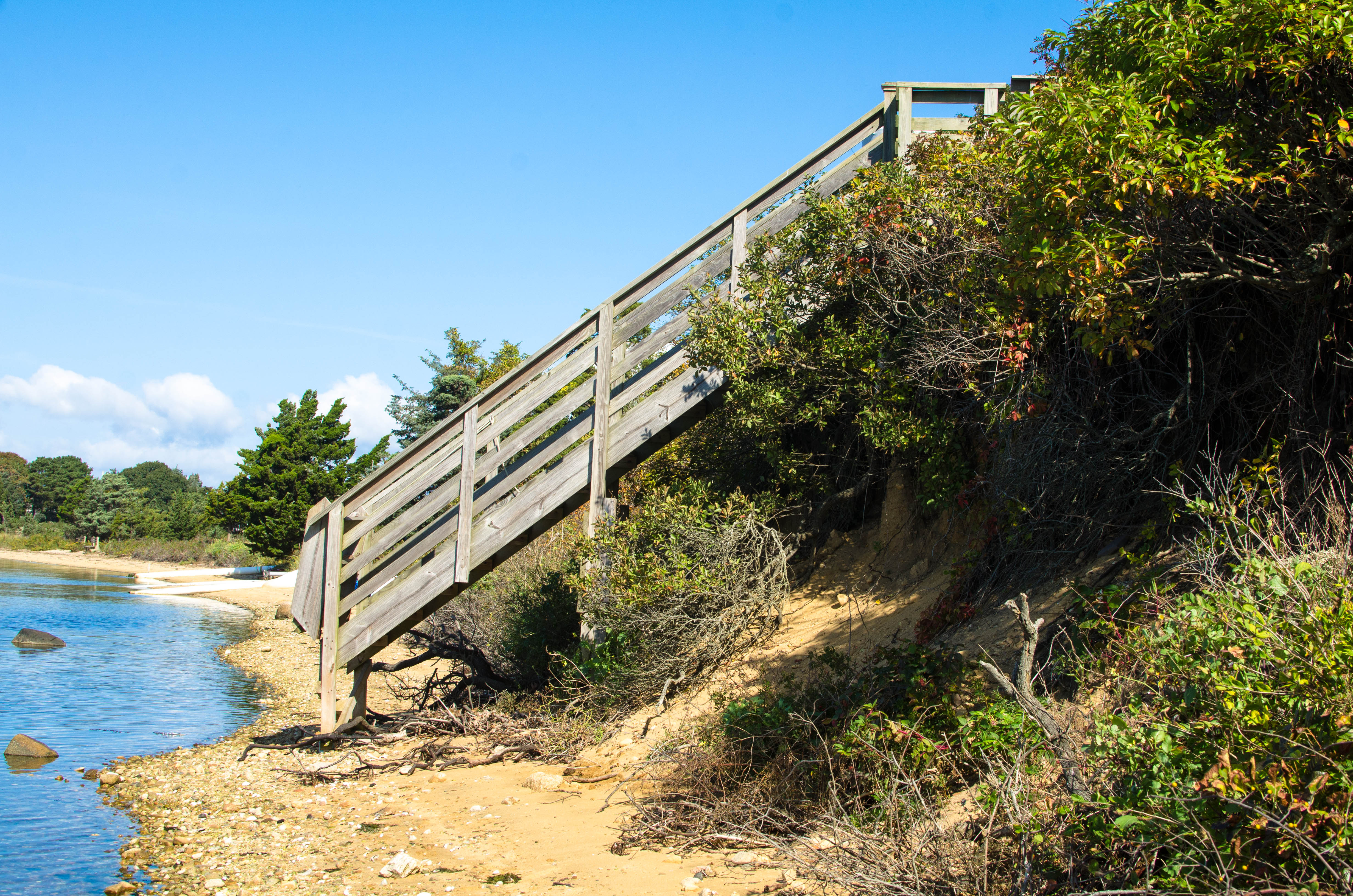
The Eastfille Beach is at the edge of the Lagoon Pond that's just beyond the drawbridge that connects the Lagoon with the Vineyard Harbor. It's also by our place. Marlene and I walked around it one day.
046-DSC_4965.jpg

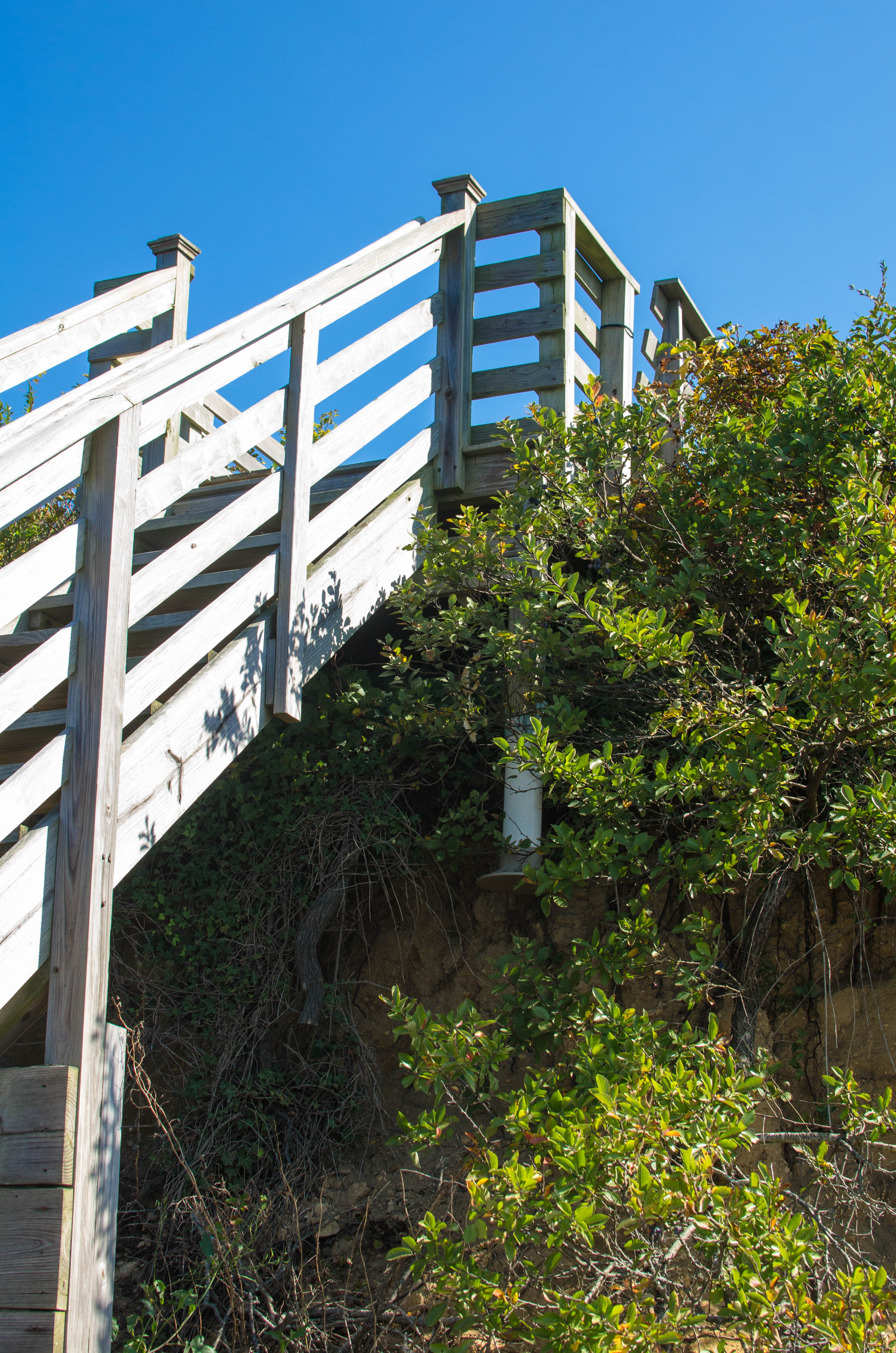
Stairs that go down from a house to the beach. Note how there is no support...(more)
.")


.")


.")


.")
 high around there.")


.")


.")


 pier.")


 of it.")


